Elevation of Kanayankavayal, Kerala, India
Longitude: 76.9844677
Latitude: 9.5188557
Elevation: 692m / 2270feet
Barometric Pressure: 93KPa
Elevation Map:
Satellite Map:
Related Photos:

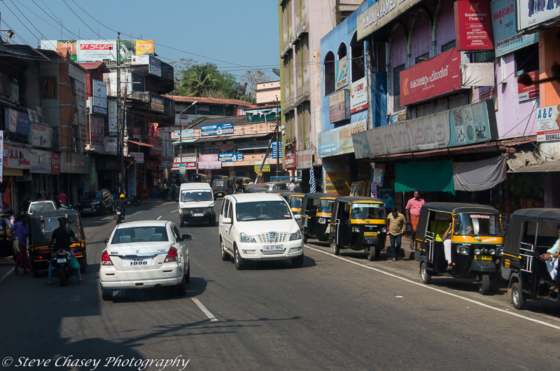
K5IIs-050217-028

K5IIs-050217-020

K5IIs-050217-022

Sabarimala Pilgrims smear face and body with colors before Petta Thulal

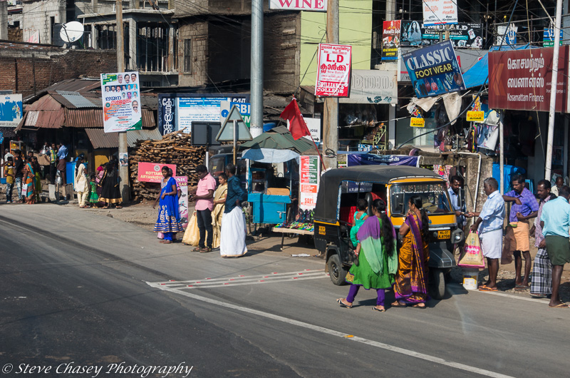
K5IIs-050217-003

K5IIs-050217-015

K5IIs-050217-001

K5II-050217-005

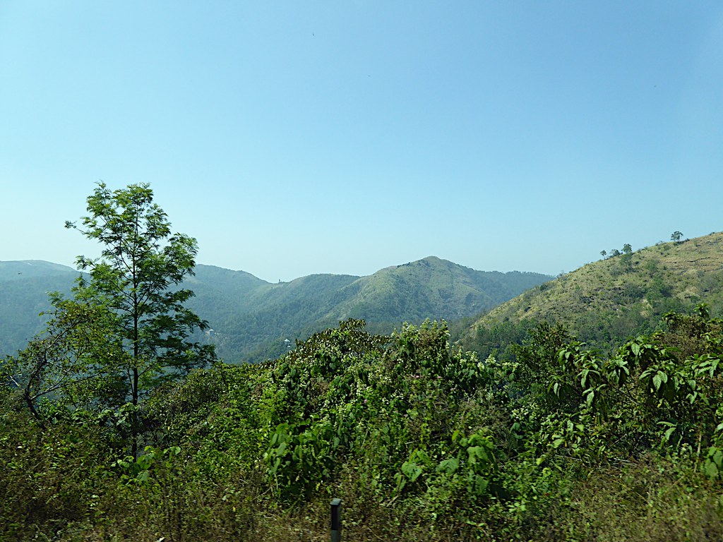
View from Panchalimedu

The history of Kerala State Road Transport Corporation began whilst the development of the it wasn't booming enough like today. The Travancore State Transport Department was constituted by the erstwhile Travancore Government with a view to reorganize the
K5IIs-050217-025

K5IIs-050217-019

K5IIs-050217-010

K5IIs-050217-006

K5IIs-050217-026
K5IIs-050217-005

K5IIs-050217-023

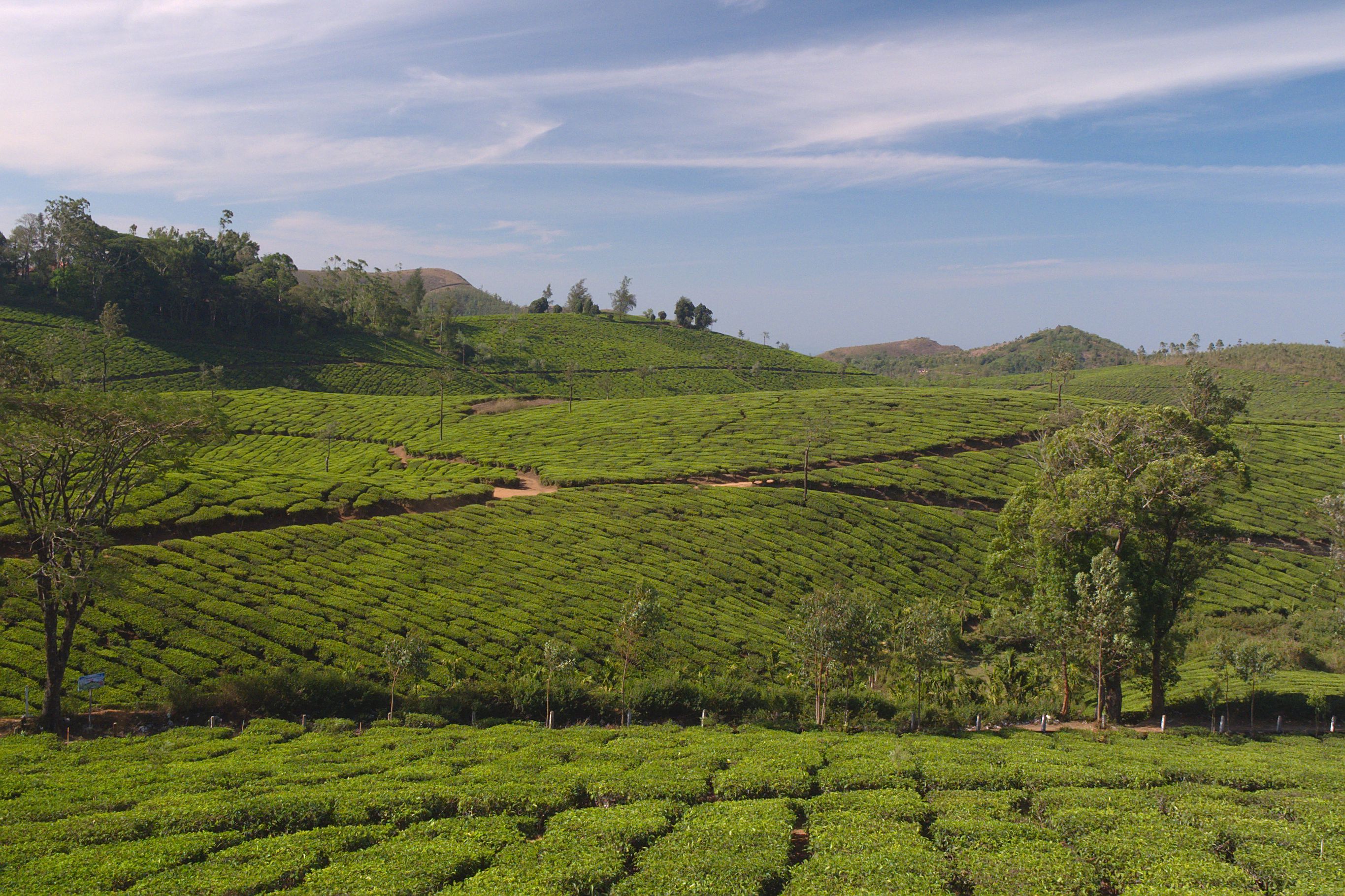
Tea Plantations, Kerala

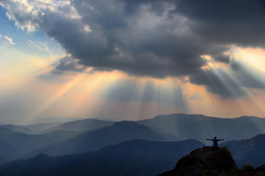
Tourists, enjoying view of Periyar National Park from hillock

Earthly Human #grammasters3 Views from Parunthupara,Idukki district Kerala. #idukkidistrict #keralatourism #kerala #godsowncountry #parunthupara #india #Incredibleindia #indiatour #indiatravel #indiagram #indiaclicks #indiatourism #TripAdvisor #tri

View of valley from New Maria Restaurant at Pullupara

A morning in Urumbikkara, Idukki

On the way to Wagamon

.

More Tea

Connemara Tea Plantation

simply kerala
Tea plantations, Karadykuzhy

Tea Plantation - Kerala
Western Ghats from Vlanjanganam
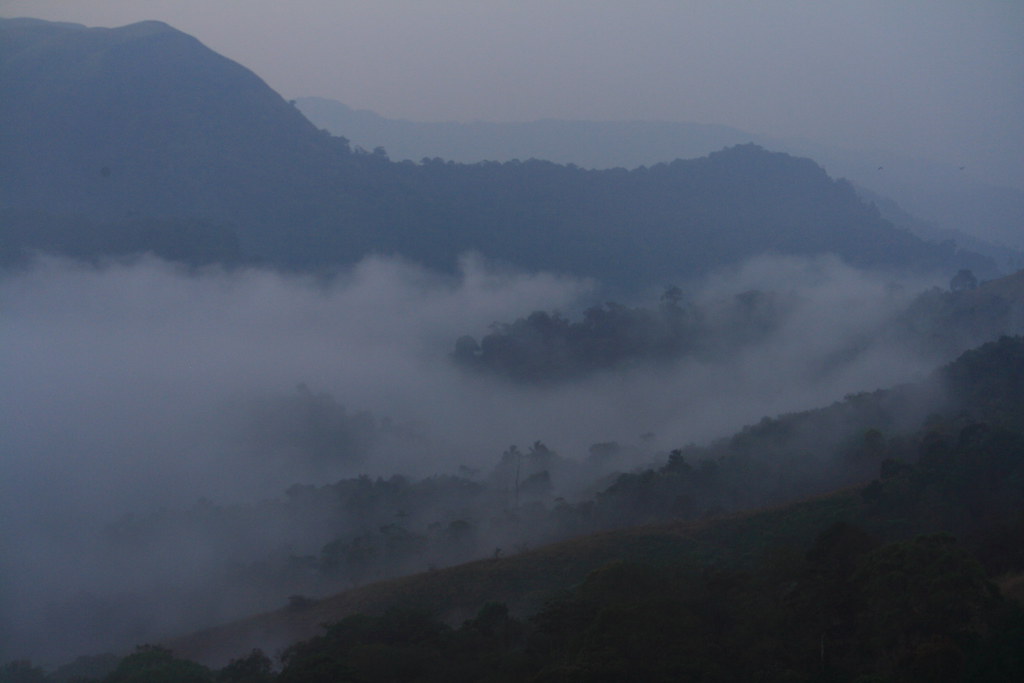
Early morning fog, over Periyar National Park

Beginning of stream at Kalleppalam

Valley near Pullupara

Valley near Pullupara

munnar, kerala, india,gods own country

Dhobi wallahs
Shot from PARUNTHUMPARA, idukki District Kerala ,INDIA. Parunthumpara is a small village, located between Peermade and Thekkady. The word parunth in the local language means Eagle and Para means rock. It is called Parunthumpara or eagle rock because of

eagle head
Topographic Map of Kanayankavayal, Kerala, India
Find elevation by address:

Places near Kanayankavayal, Kerala, India:
Panchalimedu
Thrisangu Haven Resort
Peermade
Kuttikkanam
Kuttikanam Castle
Mundakayam
Elappara View Point
Hill Top Pallikkunnu
Kerala Gramin Bank
Elappara Post Office
Elappara
Koottickal
Ottamaram
Chotty
Modern Bull Mother Farm
Vedikuzhi
Paragliding Point
Vagamon Pine Forest
Treebo Trend Adrak Summer Sand Hill Resort Vagamon
Kolahalamedu
Recent Searches:
- Elevation of Corso Fratelli Cairoli, 35, Macerata MC, Italy
- Elevation of Tallevast Rd, Sarasota, FL, USA
- Elevation of 4th St E, Sonoma, CA, USA
- Elevation of Black Hollow Rd, Pennsdale, PA, USA
- Elevation of Oakland Ave, Williamsport, PA, USA
- Elevation of Pedrógão Grande, Portugal
- Elevation of Klee Dr, Martinsburg, WV, USA
- Elevation of Via Roma, Pieranica CR, Italy
- Elevation of Tavkvetili Mountain, Georgia
- Elevation of Hartfords Bluff Cir, Mt Pleasant, SC, USA