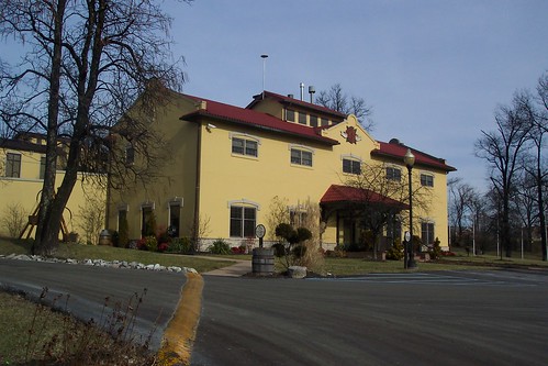
Elevation of Mudlick Rd, Lawrenceburg, KY, USA
Location: United States > Kentucky > Anderson County > Lawrenceburg >
Longitude: -85.051865
Latitude: 38.0295382
Elevation: 245m / 804feet
Barometric Pressure: 98KPa
Related Photos:
Topographic Map of Mudlick Rd, Lawrenceburg, KY, USA
Find elevation by address:

Places near Mudlick Rd, Lawrenceburg, KY, USA:
Mt Eden Rd, Lawrenceburg, KY, USA
Timber Creek Rd, Lawrenceburg, KY, USA
Anderson County
Waddy
Graefenburg Rd, Lawrenceburg, KY, USA
5317 Sleepy Hollow Dr
3450 Briar Creek Dr
270 Cherry Ln
1298 Denney Dr
1298 Denney Dr
1011 Edgehill Dr
Meriwether Drive
Lawrenceburg
Farmdale Lane
101 Grant Dr
Pumphouse Road
Hickory Grove Rd, Lawrenceburg, KY, USA
Anderson County Sportsman's Club
2070 Old Joe Rd
Wild Turkey Distillery
Recent Searches:
- Elevation of Corso Fratelli Cairoli, 35, Macerata MC, Italy
- Elevation of Tallevast Rd, Sarasota, FL, USA
- Elevation of 4th St E, Sonoma, CA, USA
- Elevation of Black Hollow Rd, Pennsdale, PA, USA
- Elevation of Oakland Ave, Williamsport, PA, USA
- Elevation of Pedrógão Grande, Portugal
- Elevation of Klee Dr, Martinsburg, WV, USA
- Elevation of Via Roma, Pieranica CR, Italy
- Elevation of Tavkvetili Mountain, Georgia
- Elevation of Hartfords Bluff Cir, Mt Pleasant, SC, USA


