Elevation of Lawrenceburg, KY, USA
Location: United States > Kentucky > Anderson County >
Longitude: -84.896617
Latitude: 38.0372967
Elevation: 241m / 791feet
Barometric Pressure: 98KPa
Elevation Map:
Satellite Map:
Related Photos:
Beautiful view from the @wildturkey visitor's center.

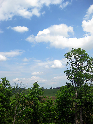
Undoubted view

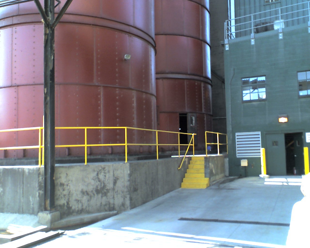
View from the plant

WCHS Football

Bourbon barrels
view from the tanks

Woodford County Parade

Lawrenceburg, KY FD
lots of cool stuff is waiting
low ceilings
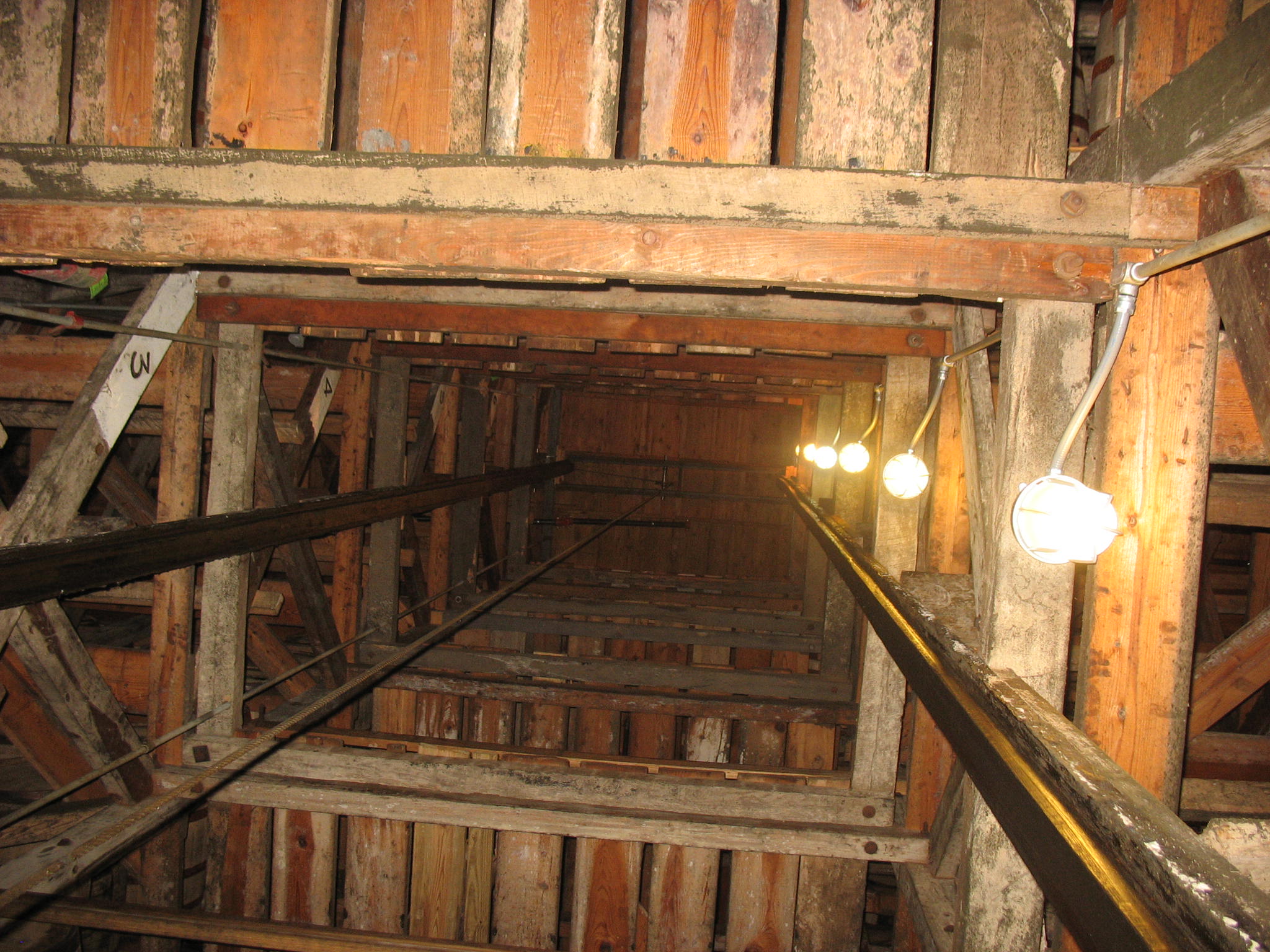
Look Up!
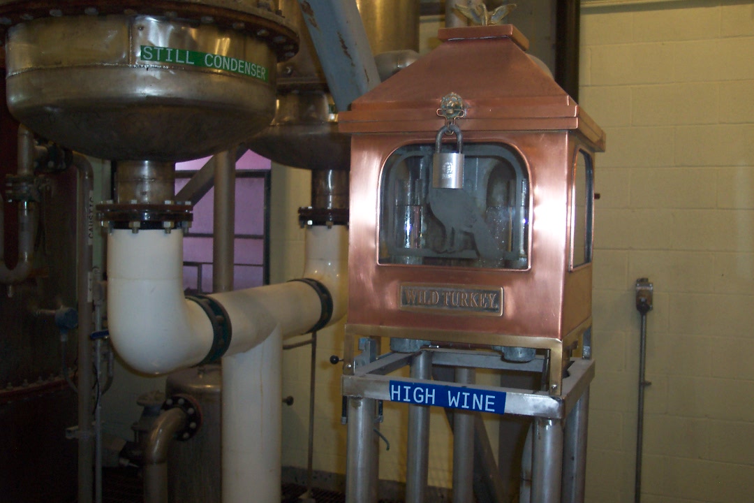
High Wine
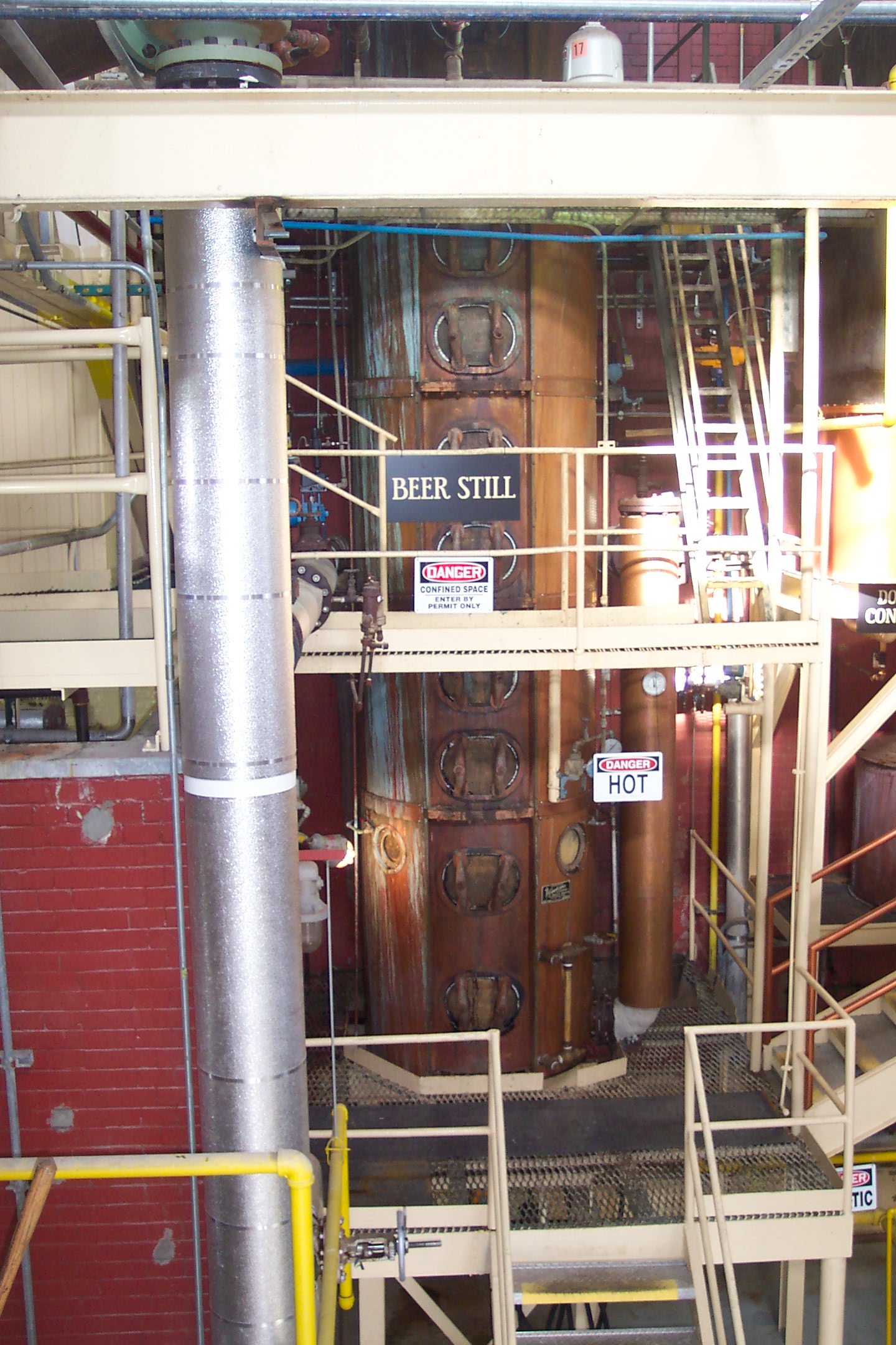
Beer Still
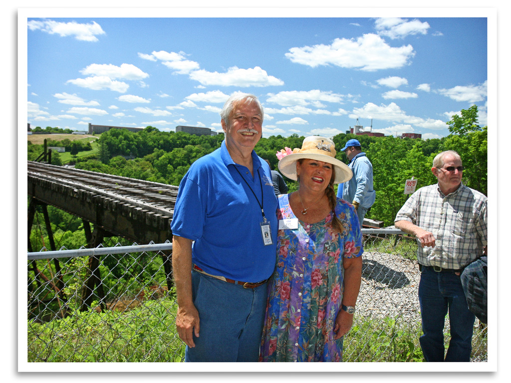
John & Jan
View from Fox Creek Cemetery
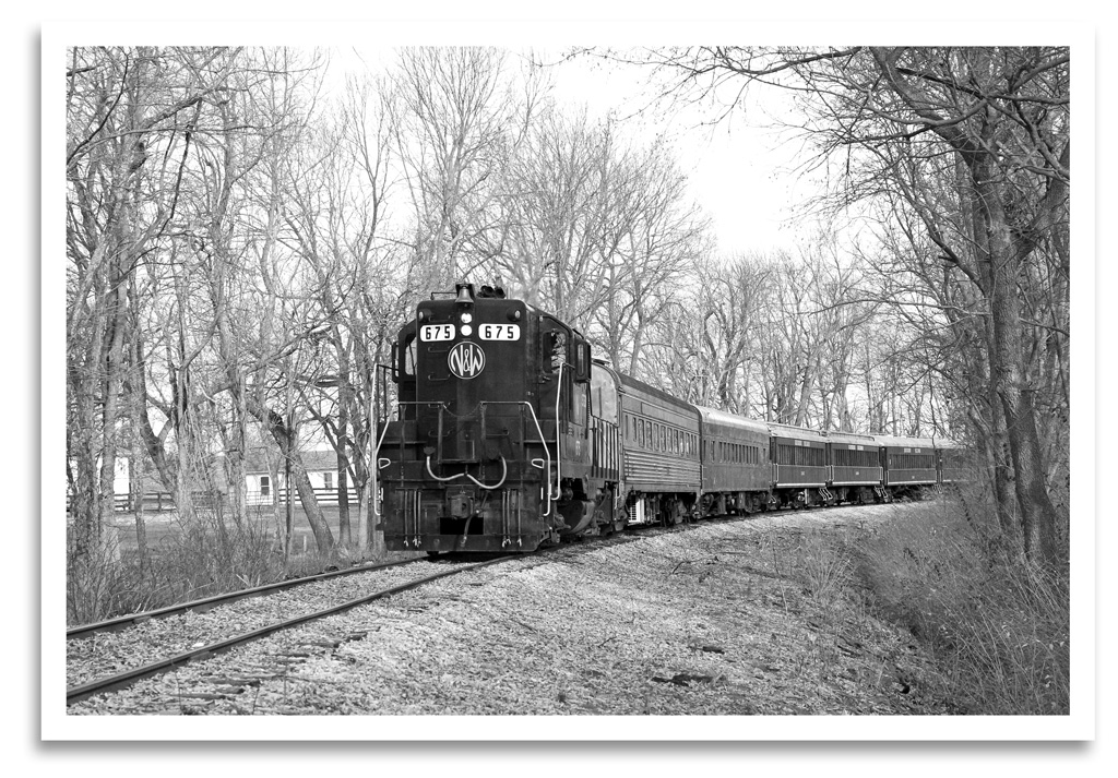
Santa Train
Main Building
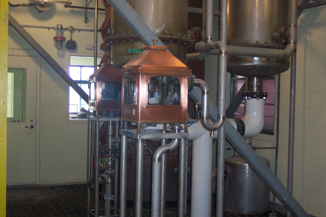
High Wine
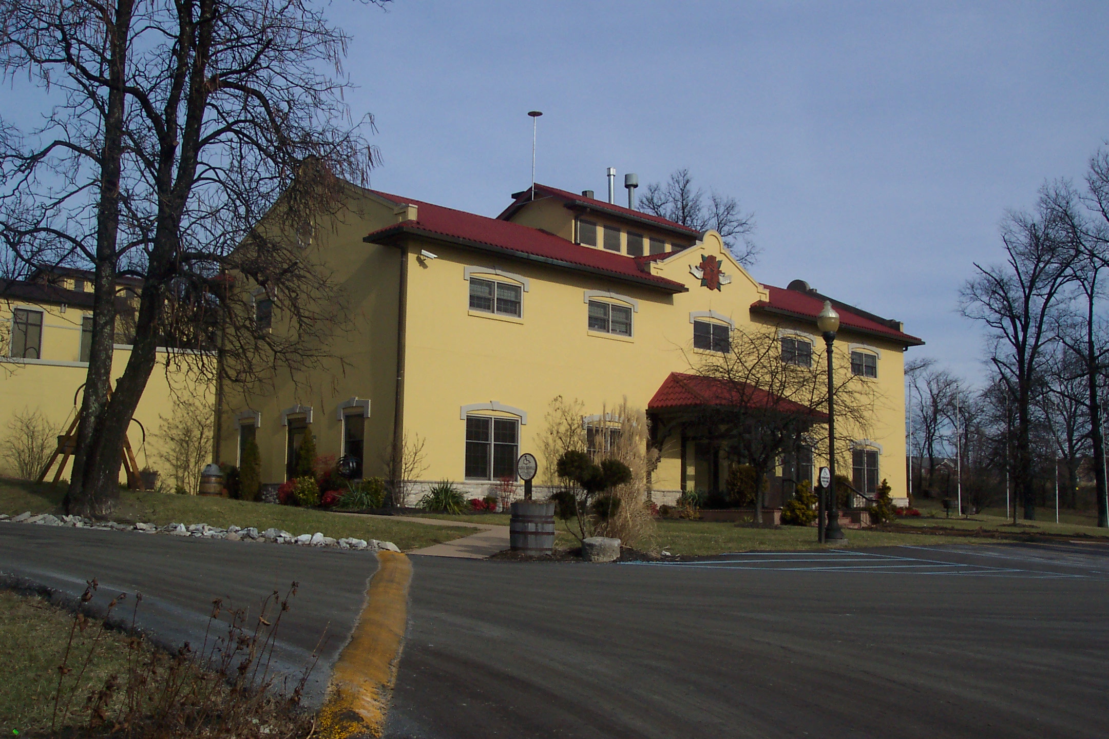
Wild Turkey
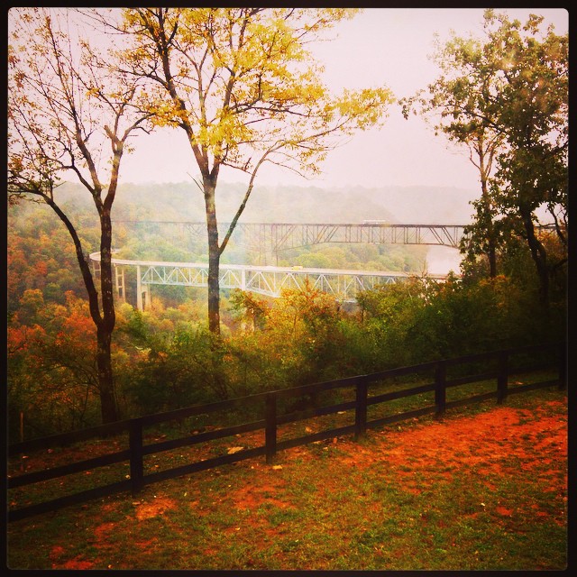
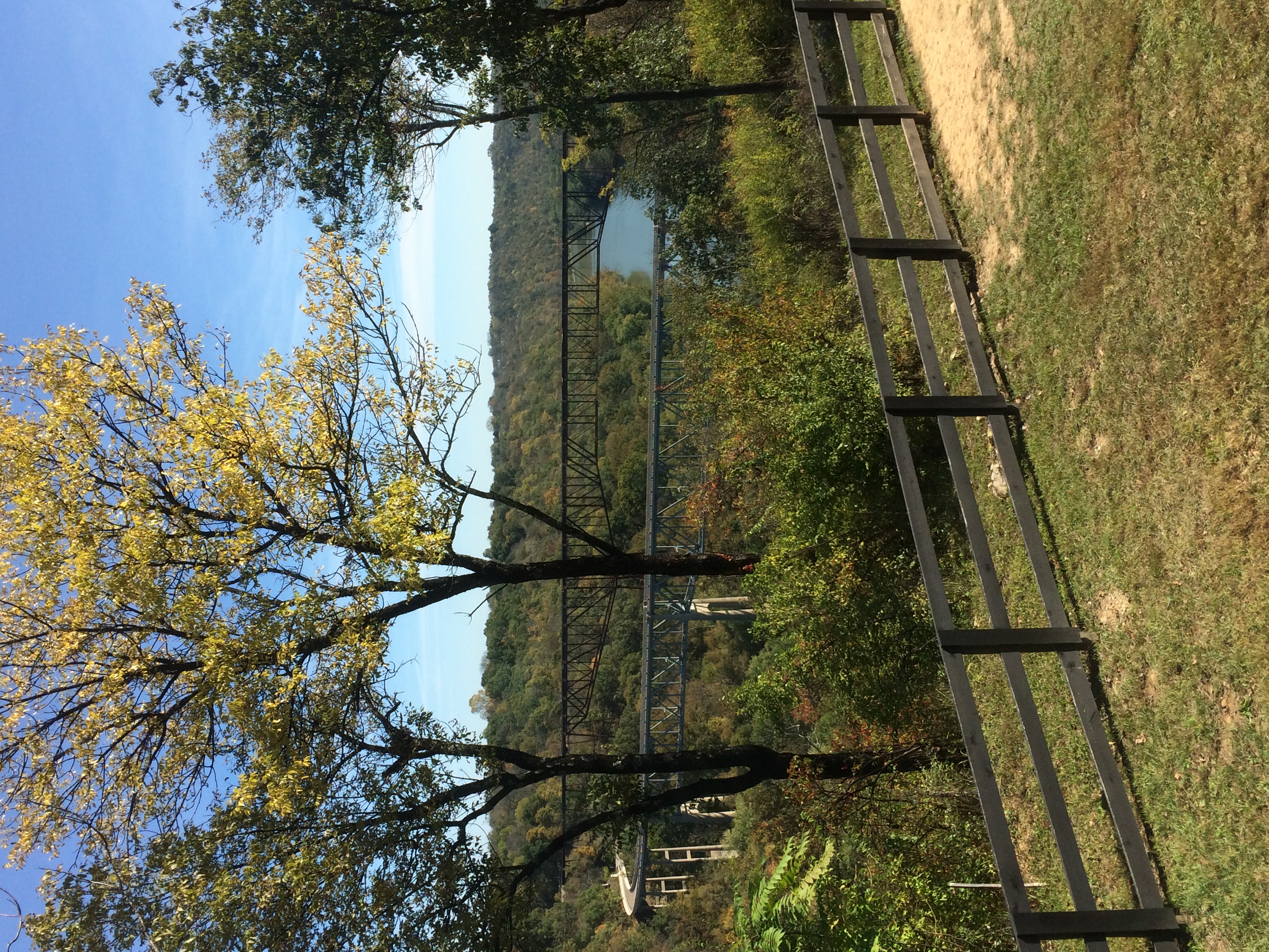
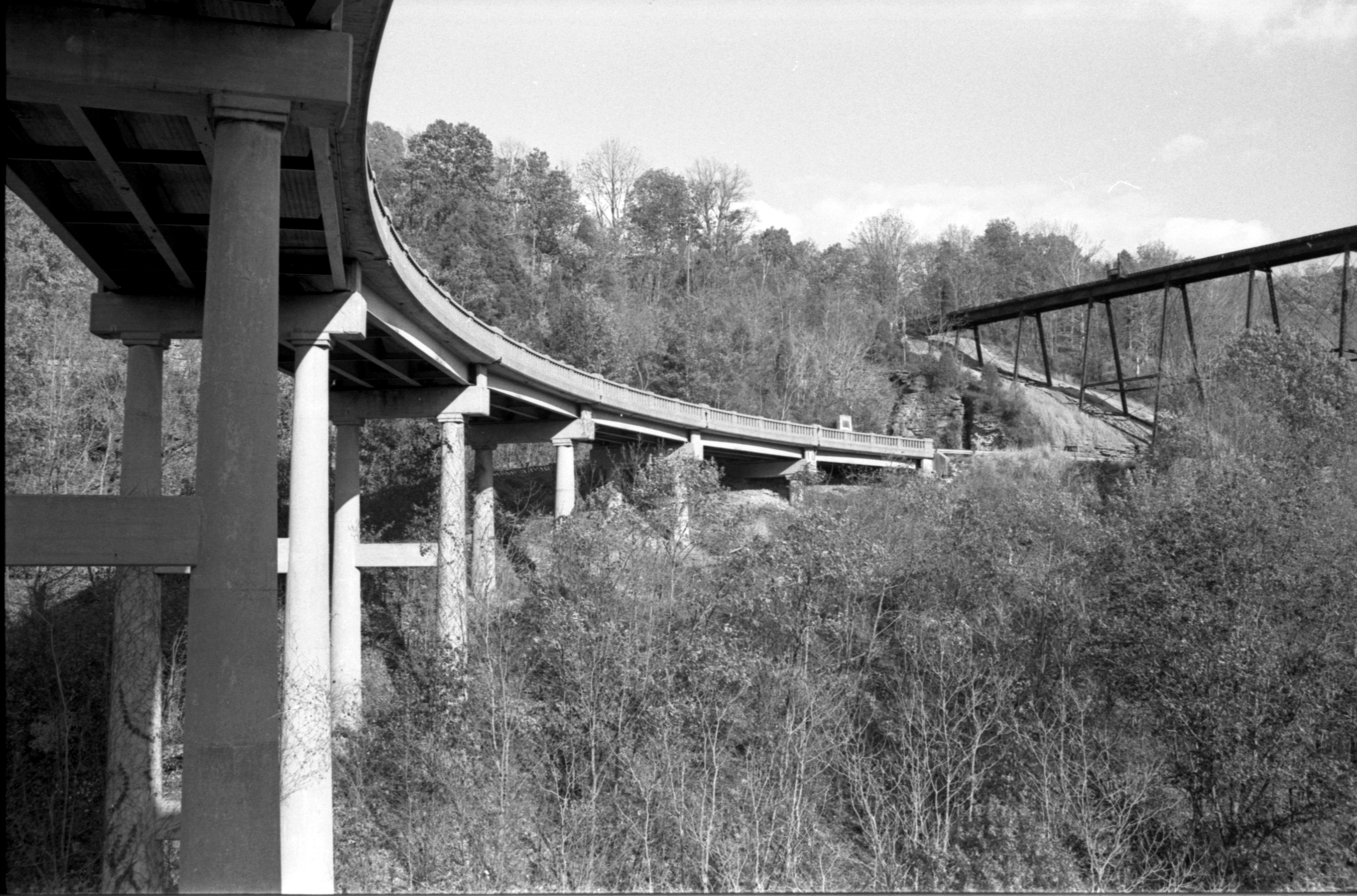
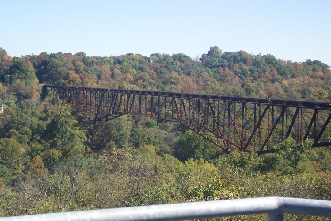
Young's High Bridge (4)

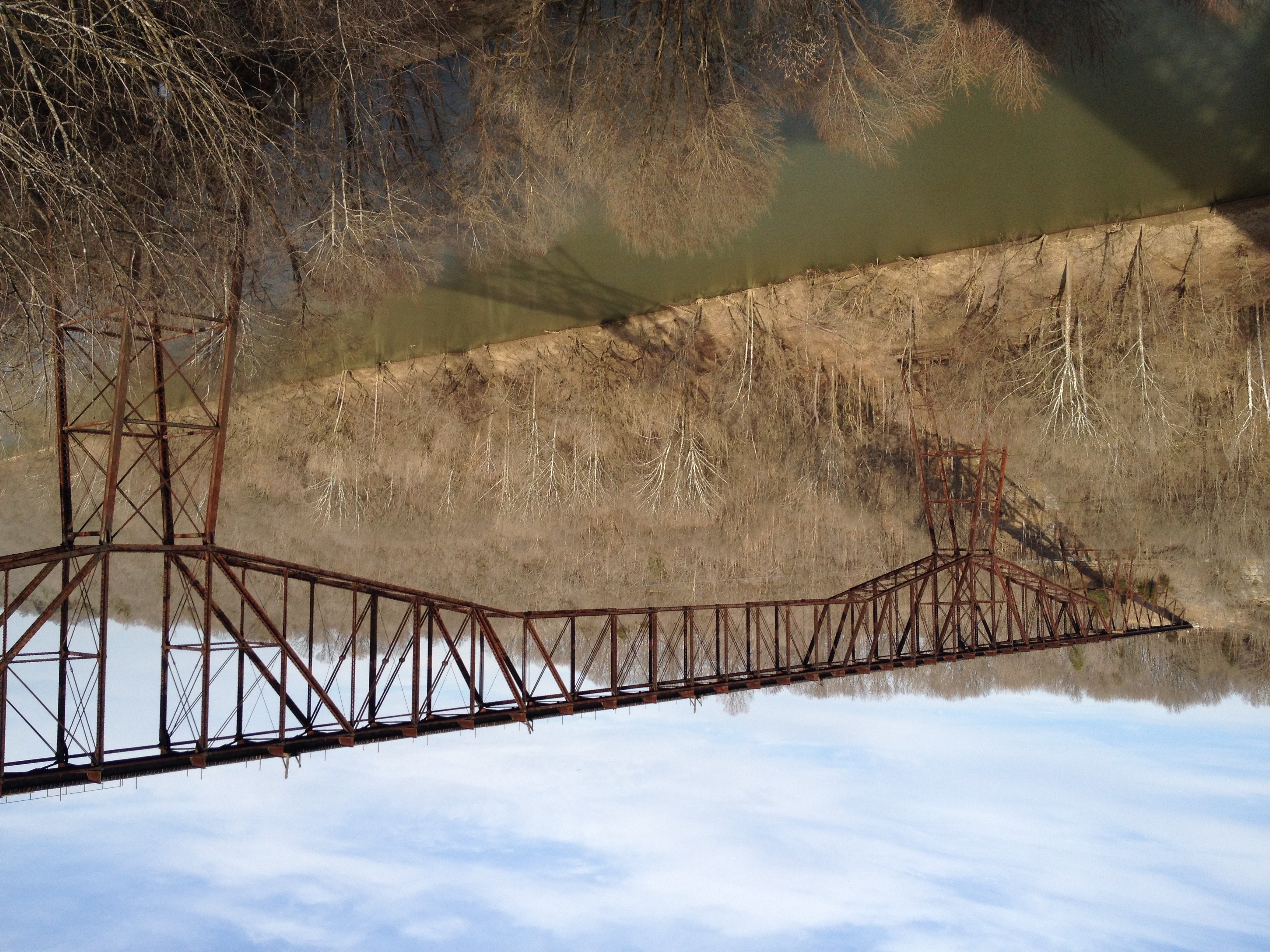
Young's High Bridge (3)
Bondville Reverse
Gateway to a Dream

The crossing
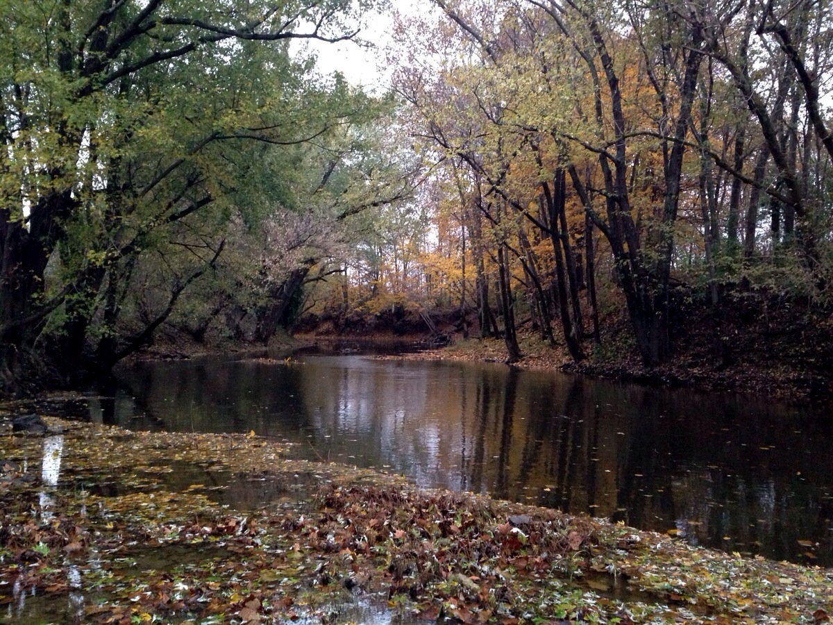
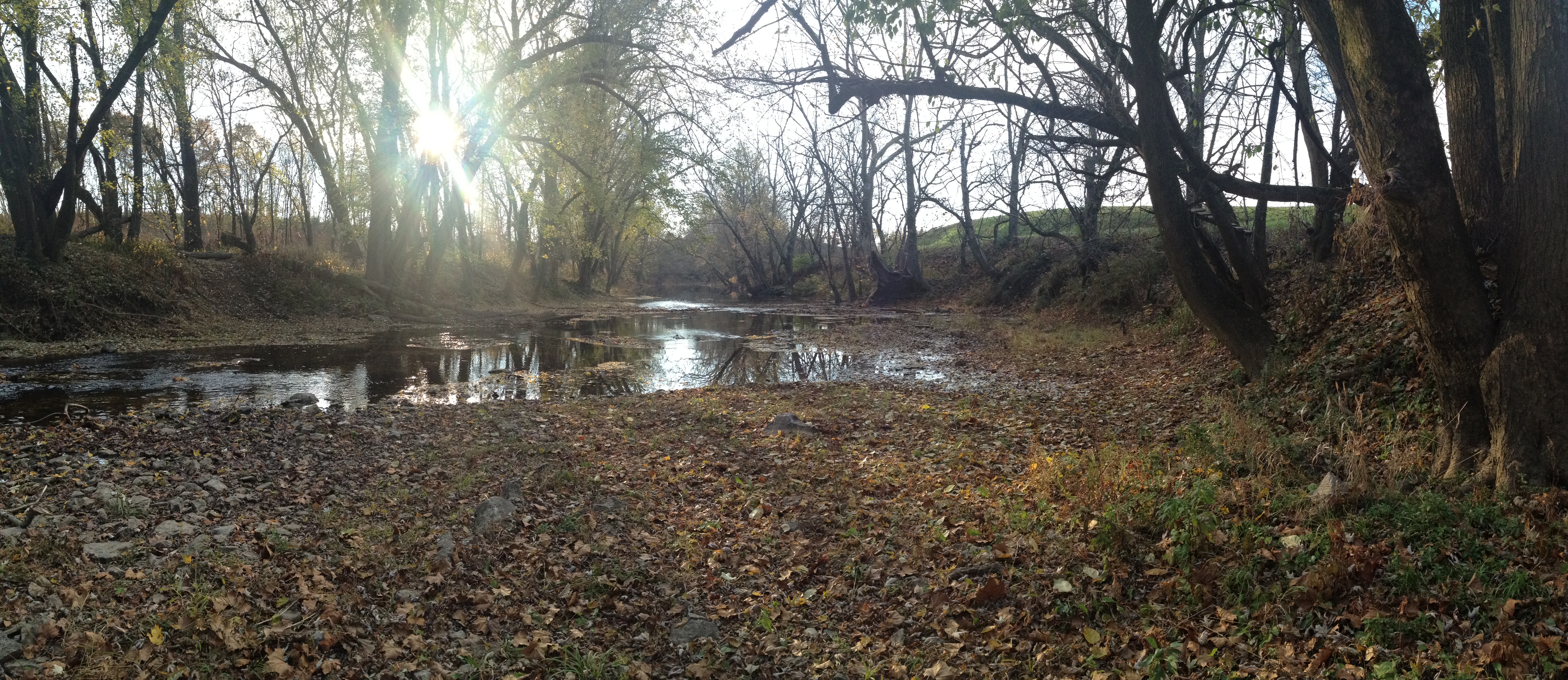
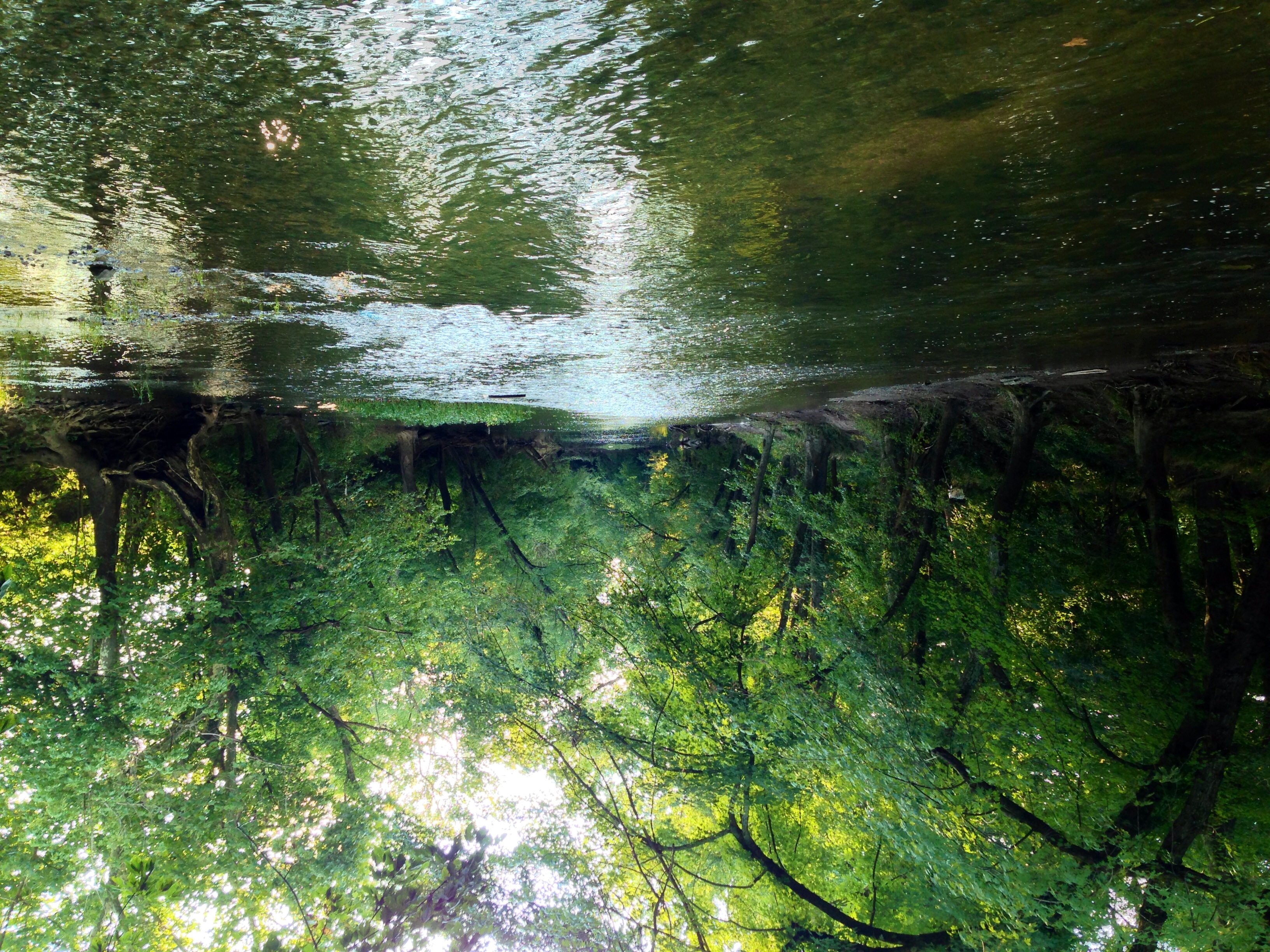
Salt River
Salt River
2011-08-20-14h00m12s-IMG_4335
Salt River
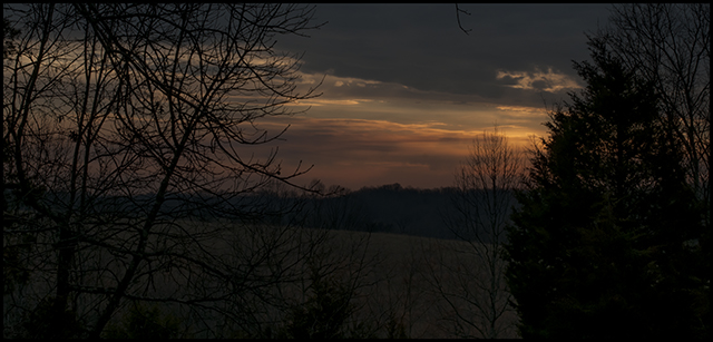
Kentucky Dawn
Late May at Jefferson Memorial Forest

don't beep at me!

Mountain Storming
Salt River
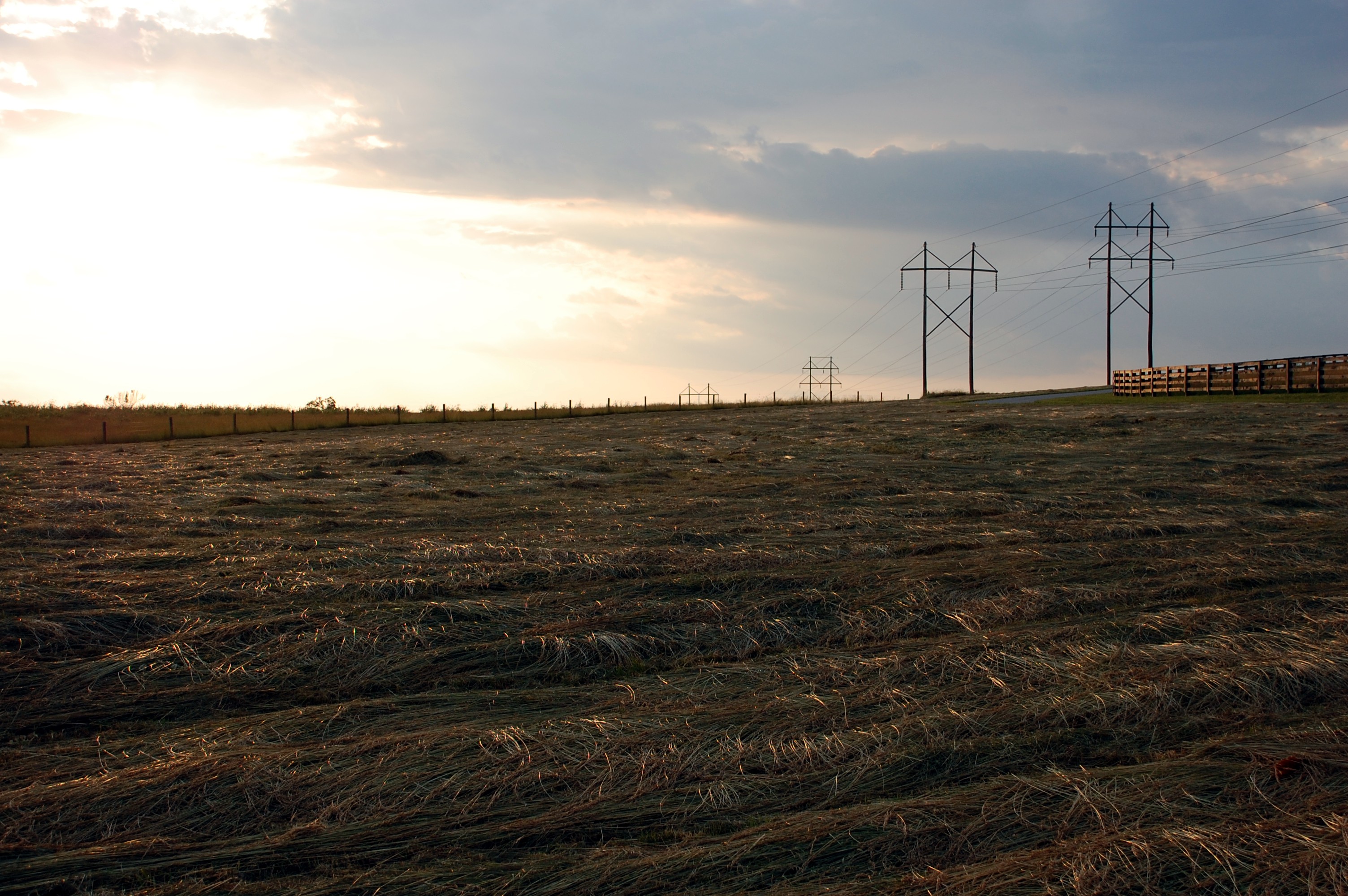
Through the grass
bailed 2254
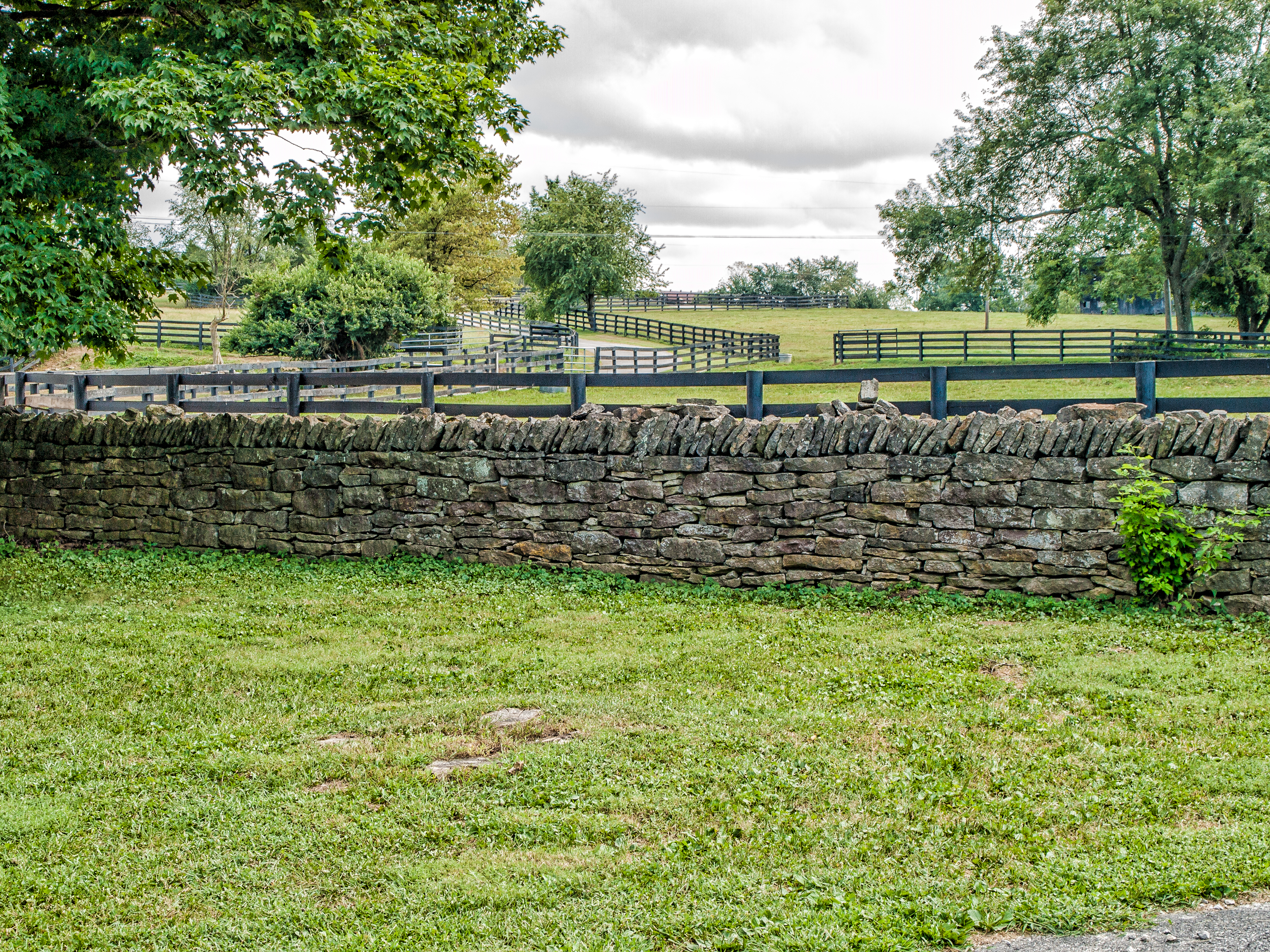
Woodford County, Kentucky Farm

Woodford county.
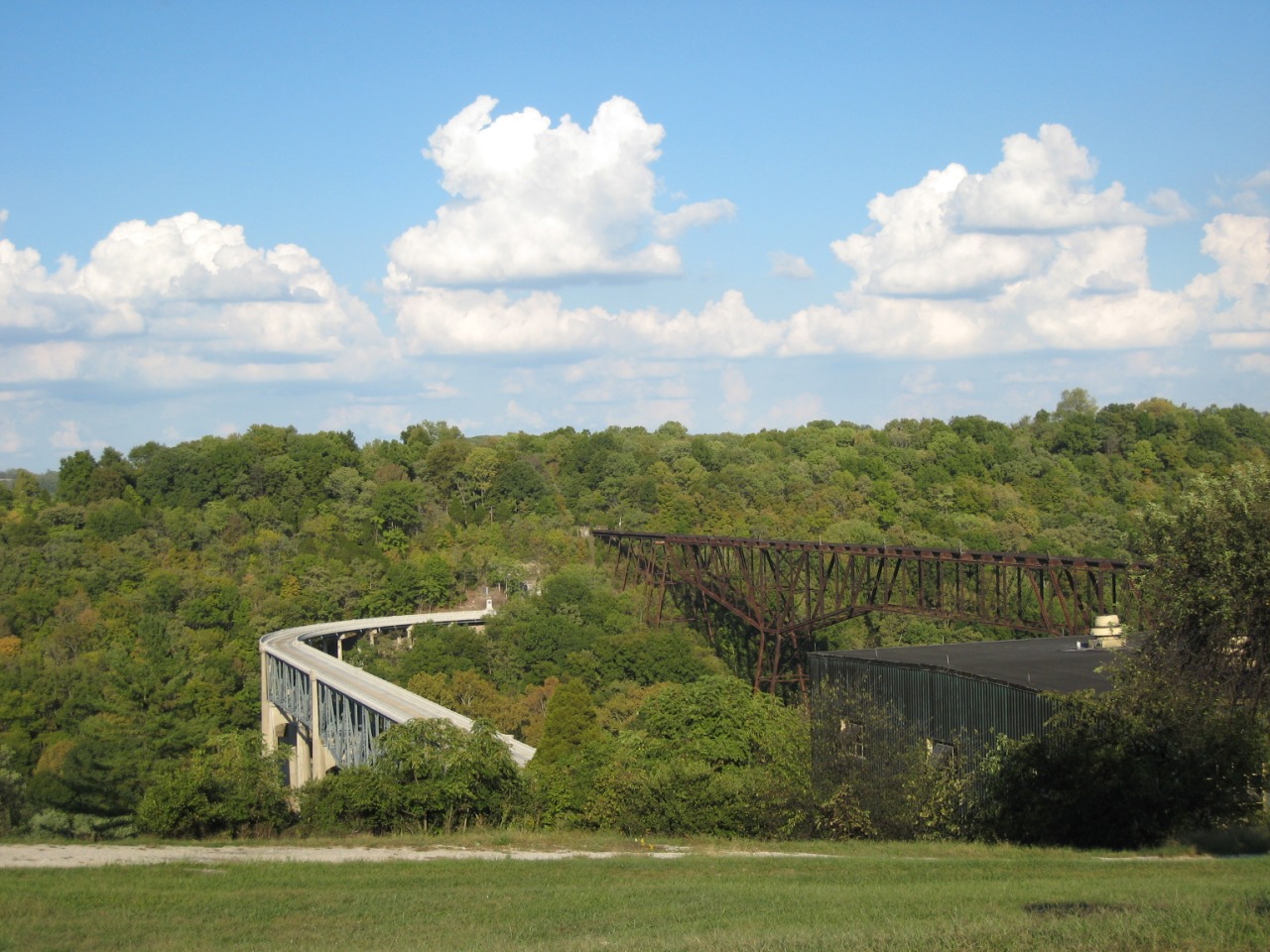
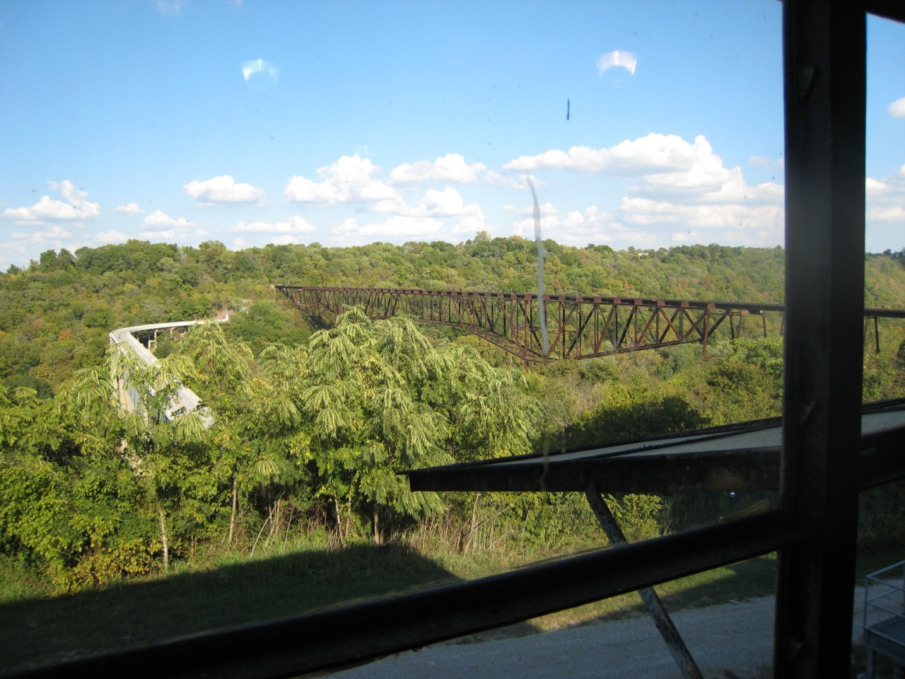
Tyrone & Young's High Bridges
bridges, Kentucky 01
KY River Bridge
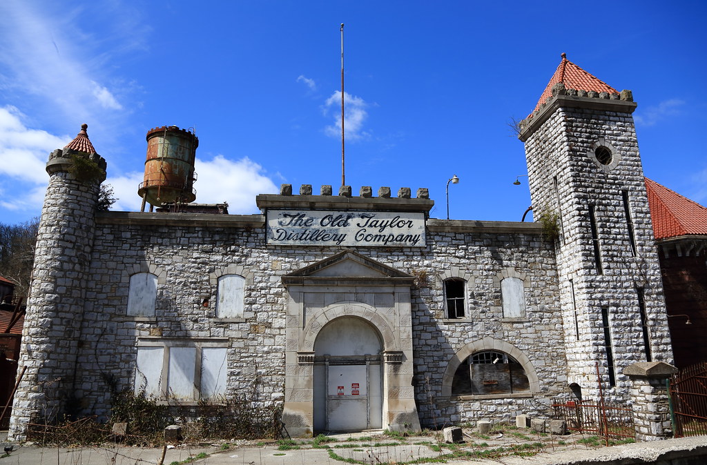
0106 Old Taylor's Distillery, Frankfort, KY
Topographic Map of Lawrenceburg, KY, USA
Find elevation by address:

Places in Lawrenceburg, KY, USA:
Hickory Grove Rd, Lawrenceburg, KY, USA
Timber Creek Rd, Lawrenceburg, KY, USA
Graefenburg Rd, Lawrenceburg, KY, USA
Mt Eden Rd, Lawrenceburg, KY, USA
Bardstown Rd, Lawrenceburg, KY, USA
Meriwether Drive
Pumphouse Road
Places near Lawrenceburg, KY, USA:
1011 Edgehill Dr
Meriwether Drive
3450 Briar Creek Dr
101 Grant Dr
1298 Denney Dr
1298 Denney Dr
Pumphouse Road
Wild Turkey Distillery
1421 Wildcat Rd
Hickory Grove Rd, Lawrenceburg, KY, USA
Tyrone Pike, Versailles, KY, USA
Graefenburg Rd, Lawrenceburg, KY, USA
2070 Old Joe Rd
Anderson County Sportsman's Club
Farmdale Lane
270 Cherry Ln
Tyrone Pike, Versailles, KY, USA
Anderson County
Timber Creek Rd, Lawrenceburg, KY, USA
5317 Sleepy Hollow Dr
Recent Searches:
- Elevation of Corso Fratelli Cairoli, 35, Macerata MC, Italy
- Elevation of Tallevast Rd, Sarasota, FL, USA
- Elevation of 4th St E, Sonoma, CA, USA
- Elevation of Black Hollow Rd, Pennsdale, PA, USA
- Elevation of Oakland Ave, Williamsport, PA, USA
- Elevation of Pedrógão Grande, Portugal
- Elevation of Klee Dr, Martinsburg, WV, USA
- Elevation of Via Roma, Pieranica CR, Italy
- Elevation of Tavkvetili Mountain, Georgia
- Elevation of Hartfords Bluff Cir, Mt Pleasant, SC, USA