Elevation of Mt Zion Lookout Fire, Mt Zion Rd, Pine Grove, CA, USA
Location: United States > California > Amador County > Pine Grove >
Longitude: -120.65218
Latitude: 38.3893141
Elevation: 904m / 2966feet
Barometric Pressure: 91KPa
Elevation Map:
Satellite Map:
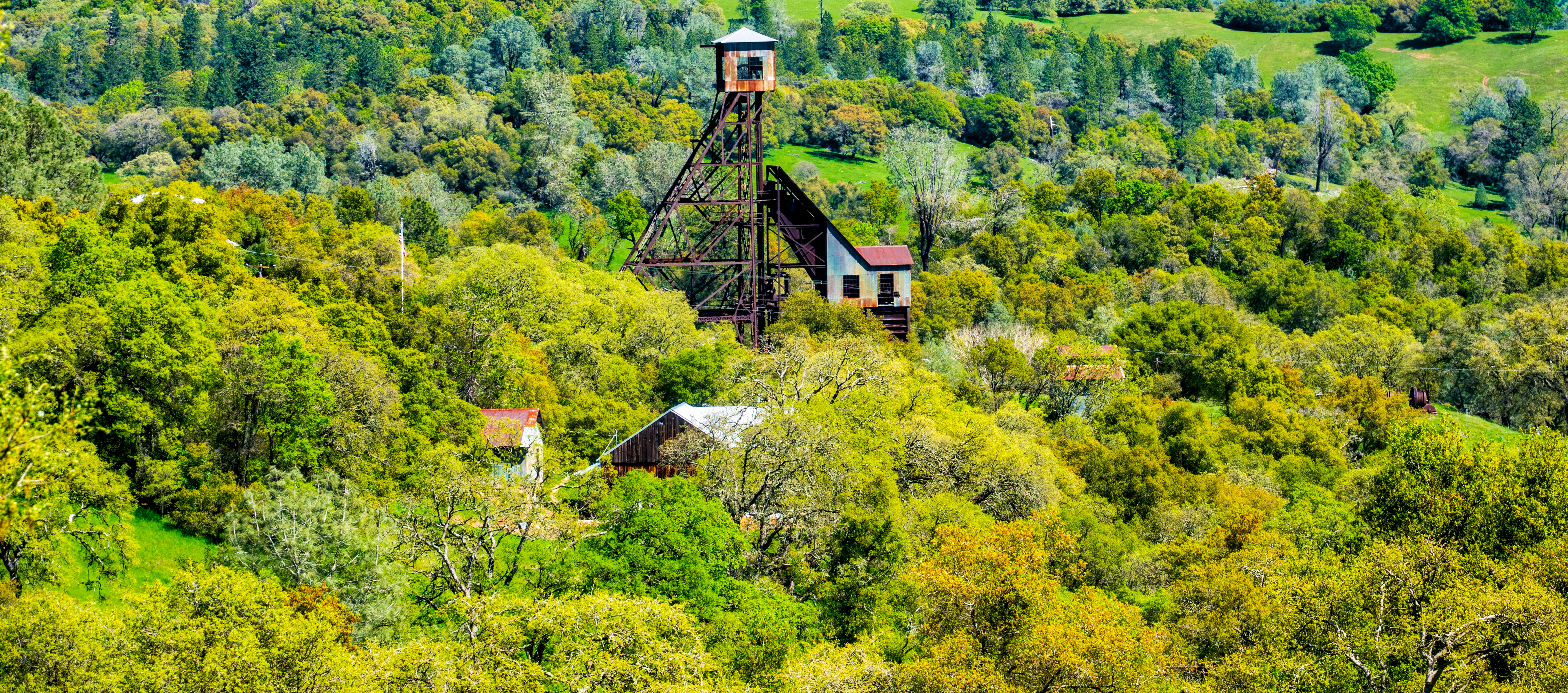
Related Photos:

Digital watercolor Old Kennedy Gold Mine Equipment

Old Kennedy Gold Mine Equipment HDR

Looking east towards the mountains

Happy Fence Friday

Little Church in the Sierra Nevada Foothills HDR

Sierra Nevada Foothills HDR

Looking east towards the mountains

Looking east towards the mountains

Happy Fence Friday
Old Kennedy Gold Mine Equipment HDR - Happy Sliders Sunday

Historic Kennedy Gold Mine - Happy Sign Sunday

Miwok Ceremonial Roundhouse, 6 of 6

Outside the Cheese Shop

Butte Fire from the Highway 49 Vista Point, Jackson

Panorama from the Mokelumne Hill Airstrip

Indian Grinding Rock

Rainy view of our 2004 30' Classic Airstream

Watching Smoke

Jackson Butte from Mokelumne Hill
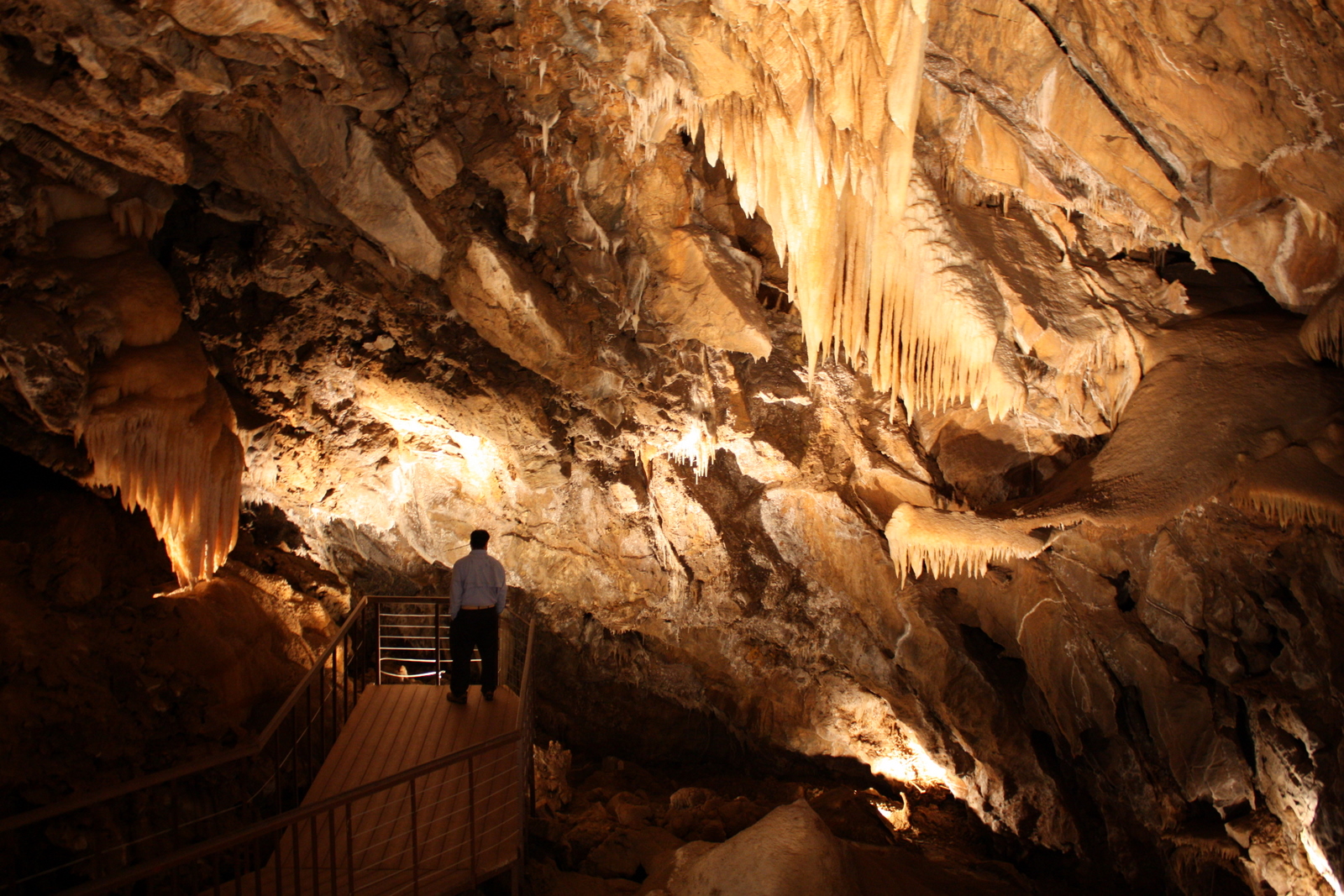
Black Chasm Cavern

Jackson, California

The Veins of an Oak at Sunset - Sutter Creek, CA

From Sutter Creek***

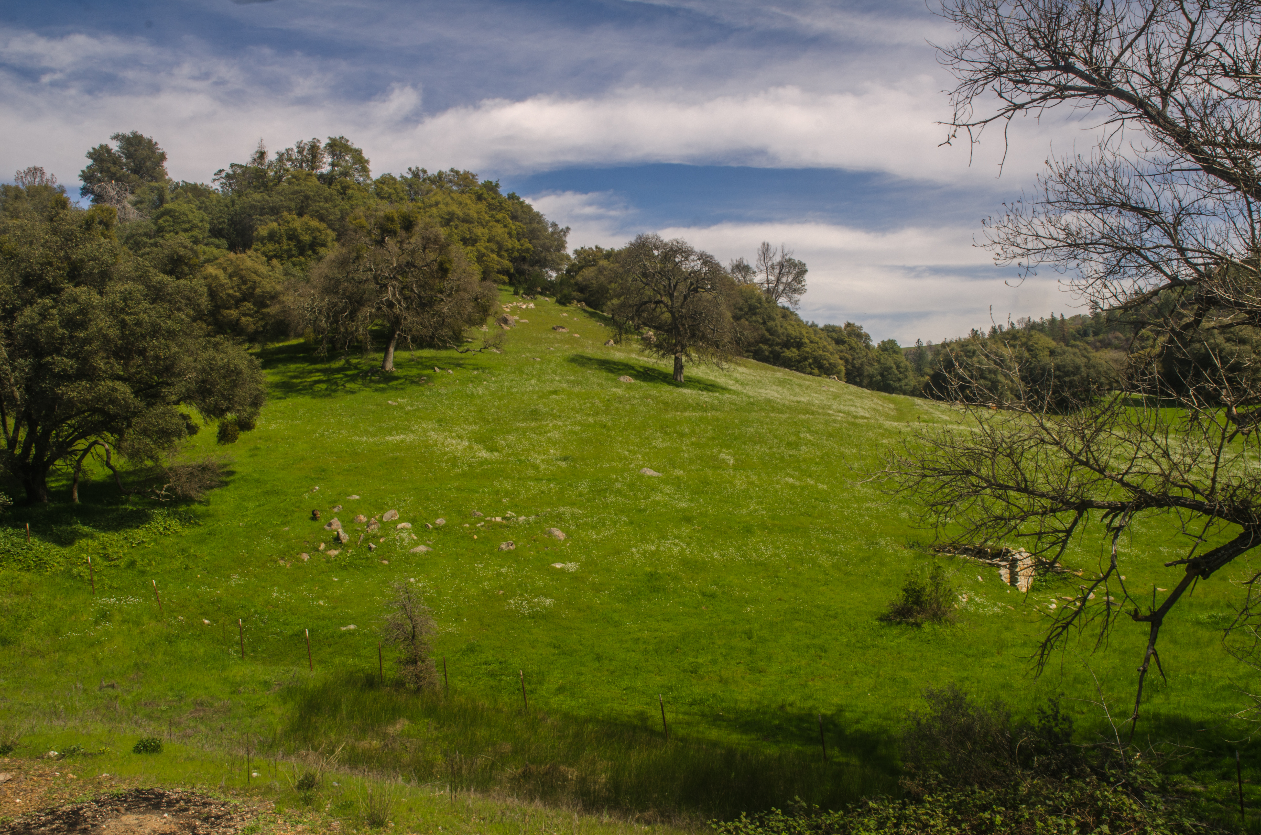
Blooming hills

Outside Amador City
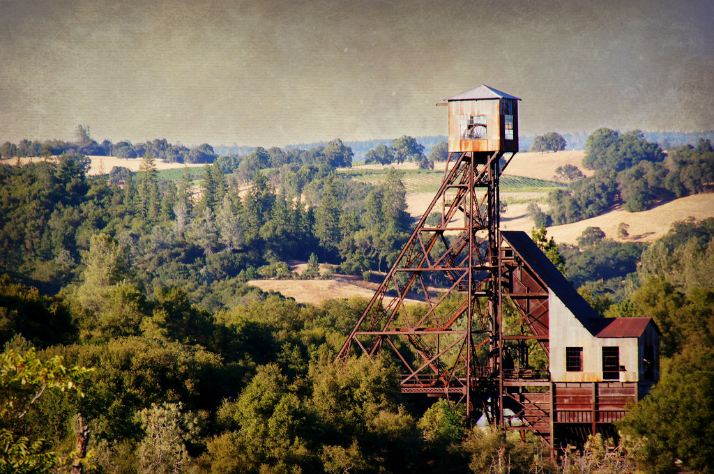
Kennedy Goldmine Headframe

Butte Fire, Amador and Calaveras Counties

Odd Fellows Hall, Mokelumne Hill
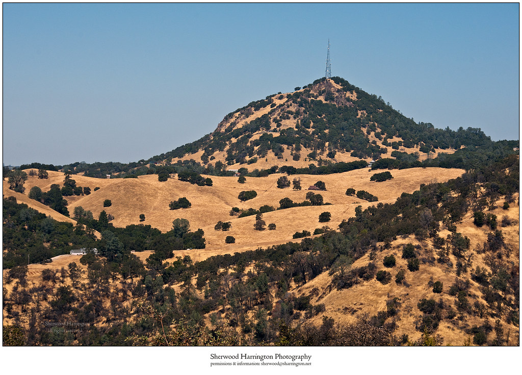
Jackson Butte from Mokelumne Hill Airstrip (2)

Black Chasm Cave Tour

Drapery Stalactites

Stalactites in Black Chasm Cavern, Volcano, California
Chili Gulch

DSC_0011-1
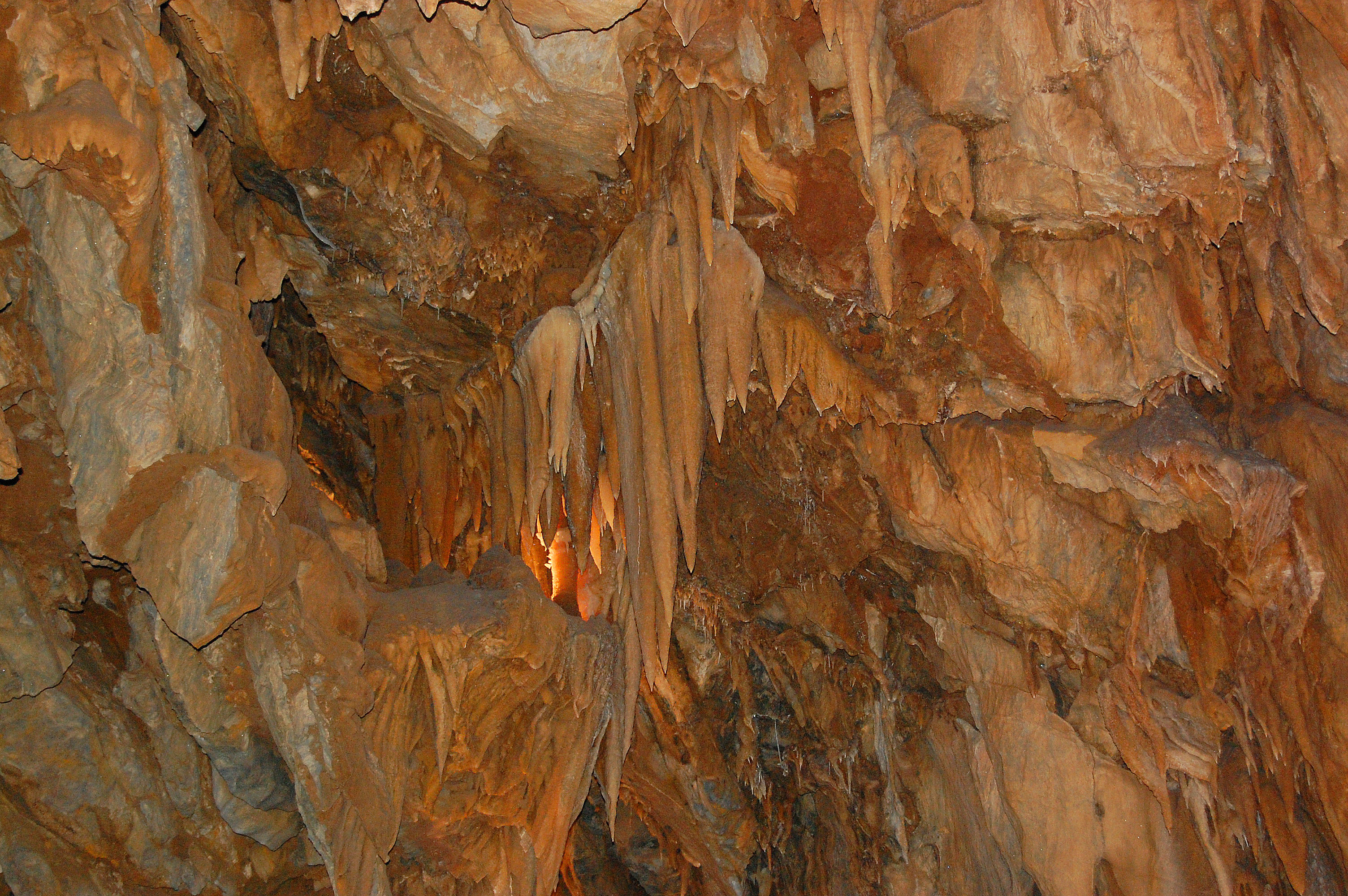
Black Chasm Cavern
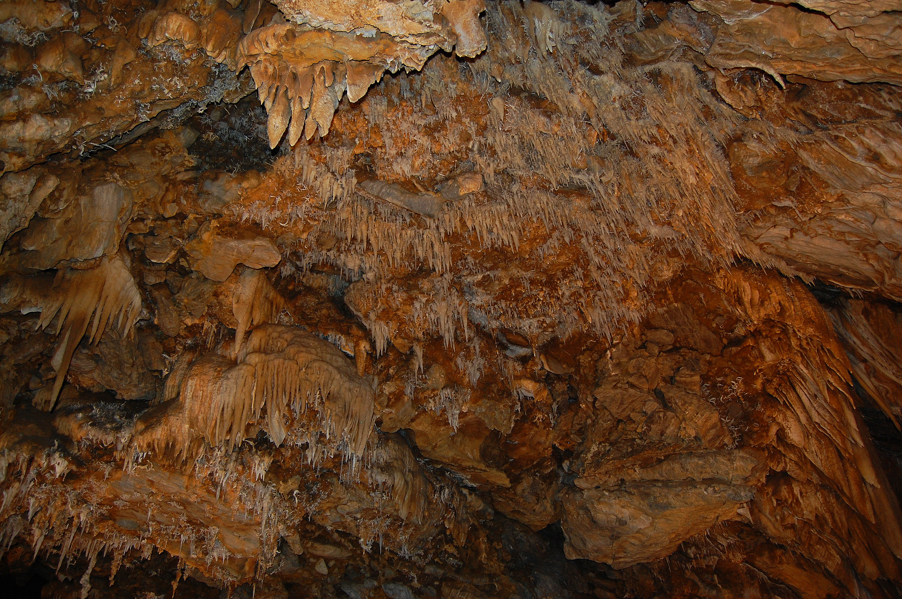
Black Chasm Cavern, National Natural Landmark

Sutter Creek

Black Chasm Cavern
Topographic Map of Mt Zion Lookout Fire, Mt Zion Rd, Pine Grove, CA, USA
Find elevation by address:

Places near Mt Zion Lookout Fire, Mt Zion Rd, Pine Grove, CA, USA:
Mount Zion
12801 Old Spring Rd
13160 Oak Ln
12950 Country Ct
13010 Tabeaud Rd
Tabeaud Rd, Pine Grove, CA, USA
Roaring Camp Mining Company
13310 Oak Ln
13310 Oak Ln
12323 Eldel Rd
Tabeaud Road
Tabeaud Road
20050 Meadowood Dr
12395 Arrow Head Rd
12780 Burnt Cedar Ln
12345 Tabeaud Rd
21100 Vista Sierra Ct
11651 Tabeaud Rd
21101 Vista Amorosa Ct
19765 Pitts Dr
Recent Searches:
- Elevation of Corso Fratelli Cairoli, 35, Macerata MC, Italy
- Elevation of Tallevast Rd, Sarasota, FL, USA
- Elevation of 4th St E, Sonoma, CA, USA
- Elevation of Black Hollow Rd, Pennsdale, PA, USA
- Elevation of Oakland Ave, Williamsport, PA, USA
- Elevation of Pedrógão Grande, Portugal
- Elevation of Klee Dr, Martinsburg, WV, USA
- Elevation of Via Roma, Pieranica CR, Italy
- Elevation of Tavkvetili Mountain, Georgia
- Elevation of Hartfords Bluff Cir, Mt Pleasant, SC, USA