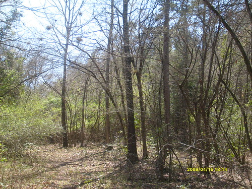
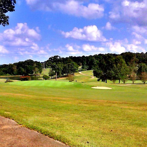
Elevation of Mt Moriah Rd, Bonnerdale, AR, USA
Location: United States > Arkansas > Hot Spring County > Henderson Township > Bonnerdale >
Longitude: -93.354006
Latitude: 34.393929
Elevation: 227m / 745feet
Barometric Pressure: 99KPa
Related Photos:
Topographic Map of Mt Moriah Rd, Bonnerdale, AR, USA
Find elevation by address:

Places near Mt Moriah Rd, Bonnerdale, AR, USA:
Bonnerdale
Henderson Township
Old Dallas Rd, Bonnerdale, AR, USA
Pearcy
267 Montego Rd
Valley Township
Amity Rd, Pearcy, AR, USA
Shuffield Rd, Bismarck, AR, USA
Crystal Springs
251 Williamson Rd
251 Williamson Rd
Country Charm Log Cabins
Country Charm Log Cabins
367 Doral Dr
Royal, AR, USA
5949 Us-270
Bismarck Township
Owl Creek Rd, Royal, AR, USA
Royal
Amity
Recent Searches:
- Elevation of Corso Fratelli Cairoli, 35, Macerata MC, Italy
- Elevation of Tallevast Rd, Sarasota, FL, USA
- Elevation of 4th St E, Sonoma, CA, USA
- Elevation of Black Hollow Rd, Pennsdale, PA, USA
- Elevation of Oakland Ave, Williamsport, PA, USA
- Elevation of Pedrógão Grande, Portugal
- Elevation of Klee Dr, Martinsburg, WV, USA
- Elevation of Via Roma, Pieranica CR, Italy
- Elevation of Tavkvetili Mountain, Georgia
- Elevation of Hartfords Bluff Cir, Mt Pleasant, SC, USA

