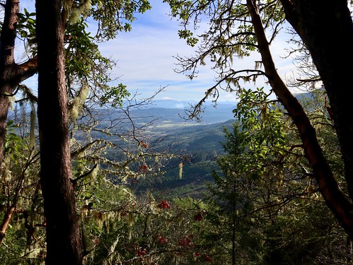
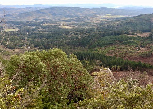
Elevation of Mt Gurney Ln, Roseburg, OR, USA
Location: United States > Oregon > Douglas County > Roseburg >
Longitude: -123.60831
Latitude: 43.1617763
Elevation: 371m / 1217feet
Barometric Pressure: 97KPa
Related Photos:
Topographic Map of Mt Gurney Ln, Roseburg, OR, USA
Find elevation by address:

Places near Mt Gurney Ln, Roseburg, OR, USA:
400 Mt Gurney Ln
7100 Coos Bay Wagon Rd
7000 Coos Bay Wagon Rd
6987 Coos Bay Wagon Rd
8637 Coos Bay Wagon Rd
Coos Bay Wagon Road
Reston
10436 Coos Bay Wagon Rd
Tenmile
9392 Or-42
861 Tenmile Valley Rd
1824 Coos Bay Wagon Rd
736 Baldwin Rd
499 Twin Oaks Ln
999 Jewel Dr
281 5th St
192 Reston Ave
Old Hwy 99 S, Winston, OR, USA
134 Reston Ave
8791 Old Hwy 99 S
Recent Searches:
- Elevation of Corso Fratelli Cairoli, 35, Macerata MC, Italy
- Elevation of Tallevast Rd, Sarasota, FL, USA
- Elevation of 4th St E, Sonoma, CA, USA
- Elevation of Black Hollow Rd, Pennsdale, PA, USA
- Elevation of Oakland Ave, Williamsport, PA, USA
- Elevation of Pedrógão Grande, Portugal
- Elevation of Klee Dr, Martinsburg, WV, USA
- Elevation of Via Roma, Pieranica CR, Italy
- Elevation of Tavkvetili Mountain, Georgia
- Elevation of Hartfords Bluff Cir, Mt Pleasant, SC, USA

