Elevation of Mt Beasor Rd, Sopchoppy, FL, USA
Location: United States > Florida > Franklin County > Sopchoppy >
Longitude: -84.510096
Latitude: 30.091023
Elevation: 6m / 20feet
Barometric Pressure: 101KPa
Elevation Map:
Satellite Map:
Related Photos:

The Milky Way
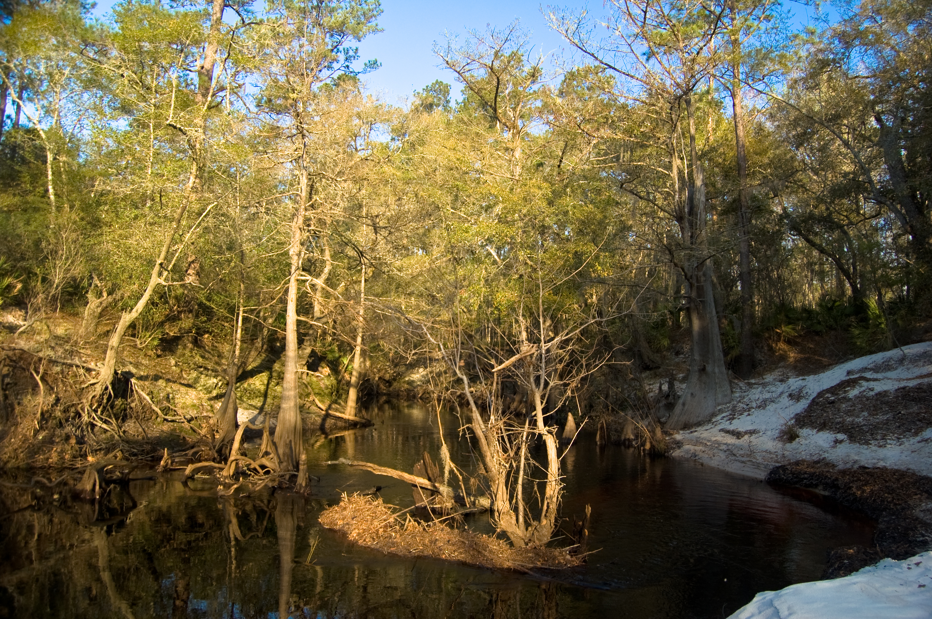
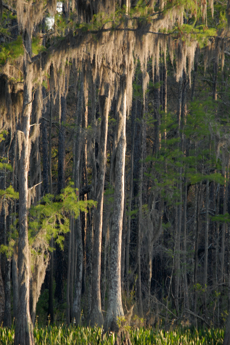
Sopchoppy River

Bradwell Bay Wilderness

Scenes Around Panacea Florida (16)

Early Morning Commute
Scenes Around Panacea Florida (17)
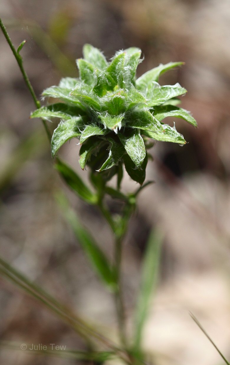
Gamochaeta sp?
328-86

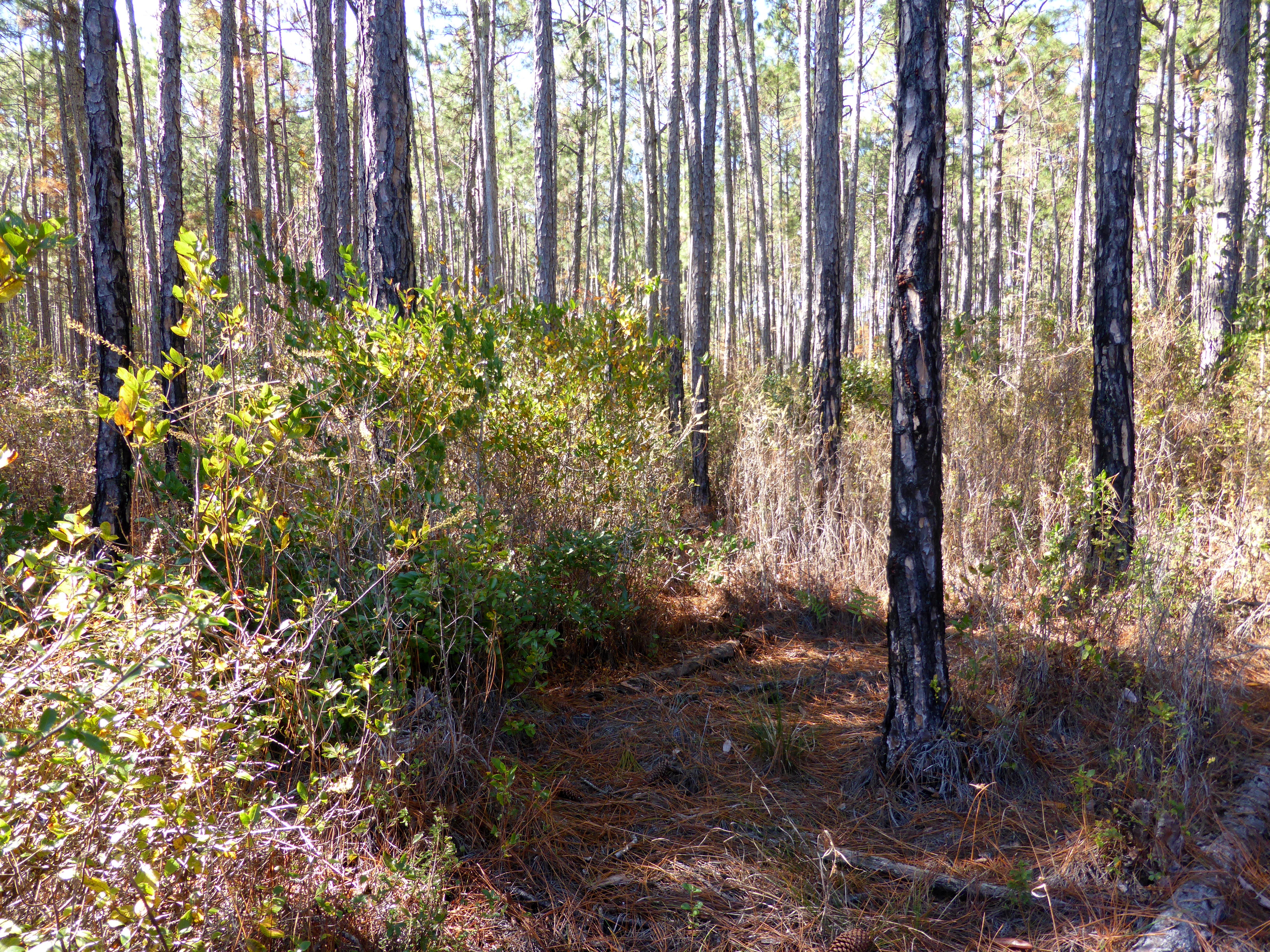
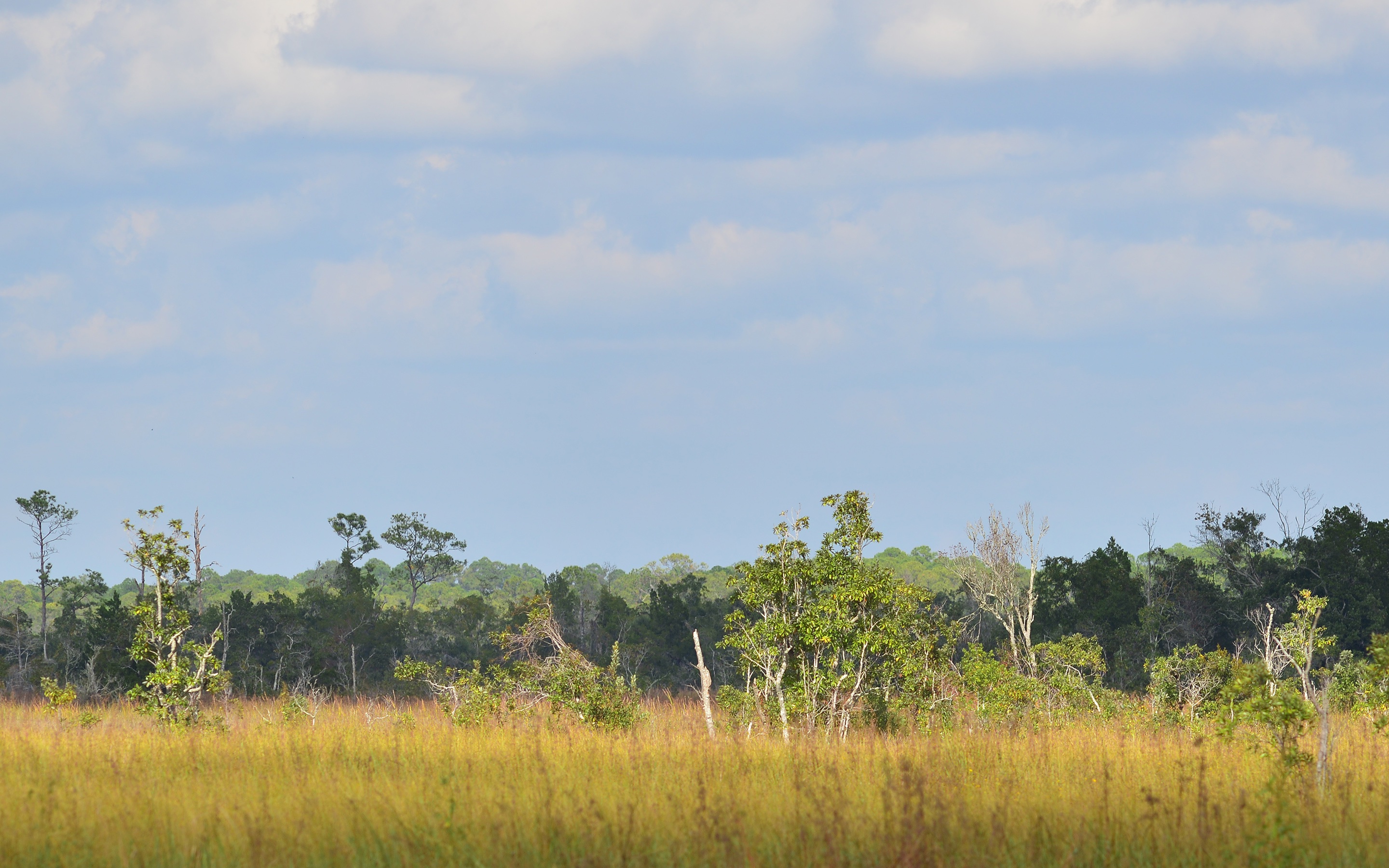
Pine flatwoods pond
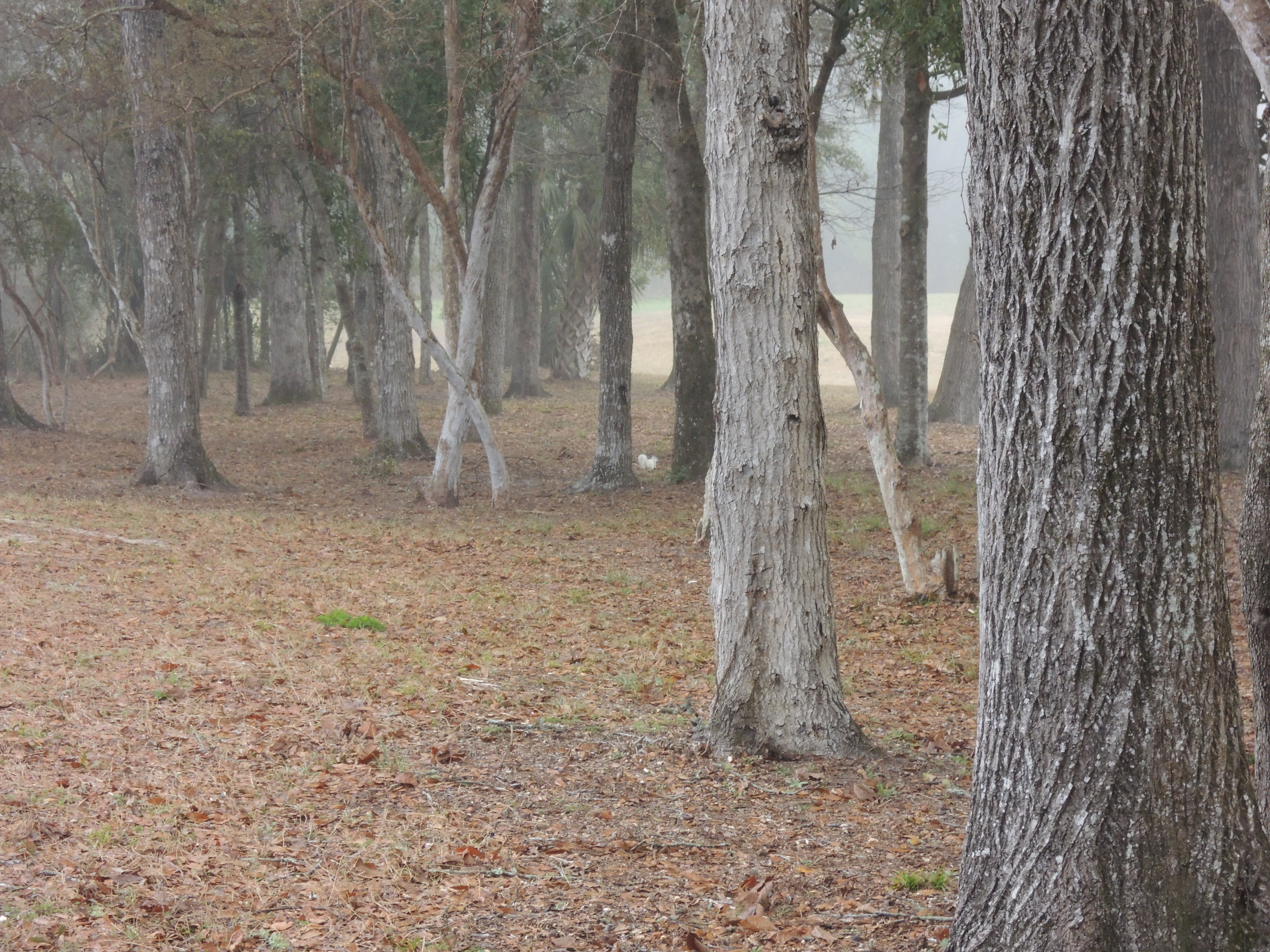
Can't See the Forest for the Trees

Scenes Around Panacea Florida (15)

Panama City Beach
Corner Pond, St. Marks National Wildlife Refuge, Wakulla County, Florida 10
Bear Creek

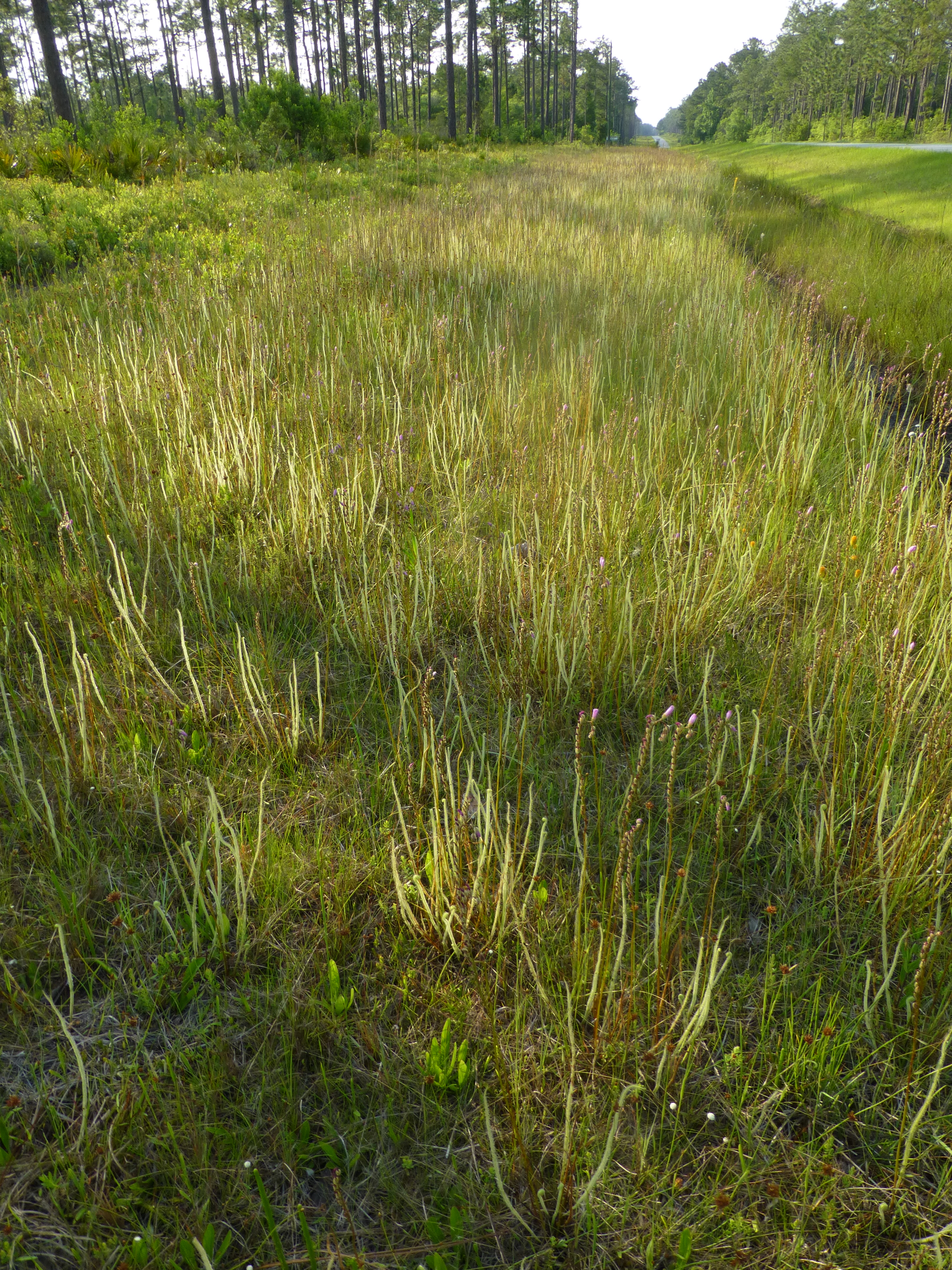
Ochlockonee slough
Ochlocknee river sunrise
Otter Lake
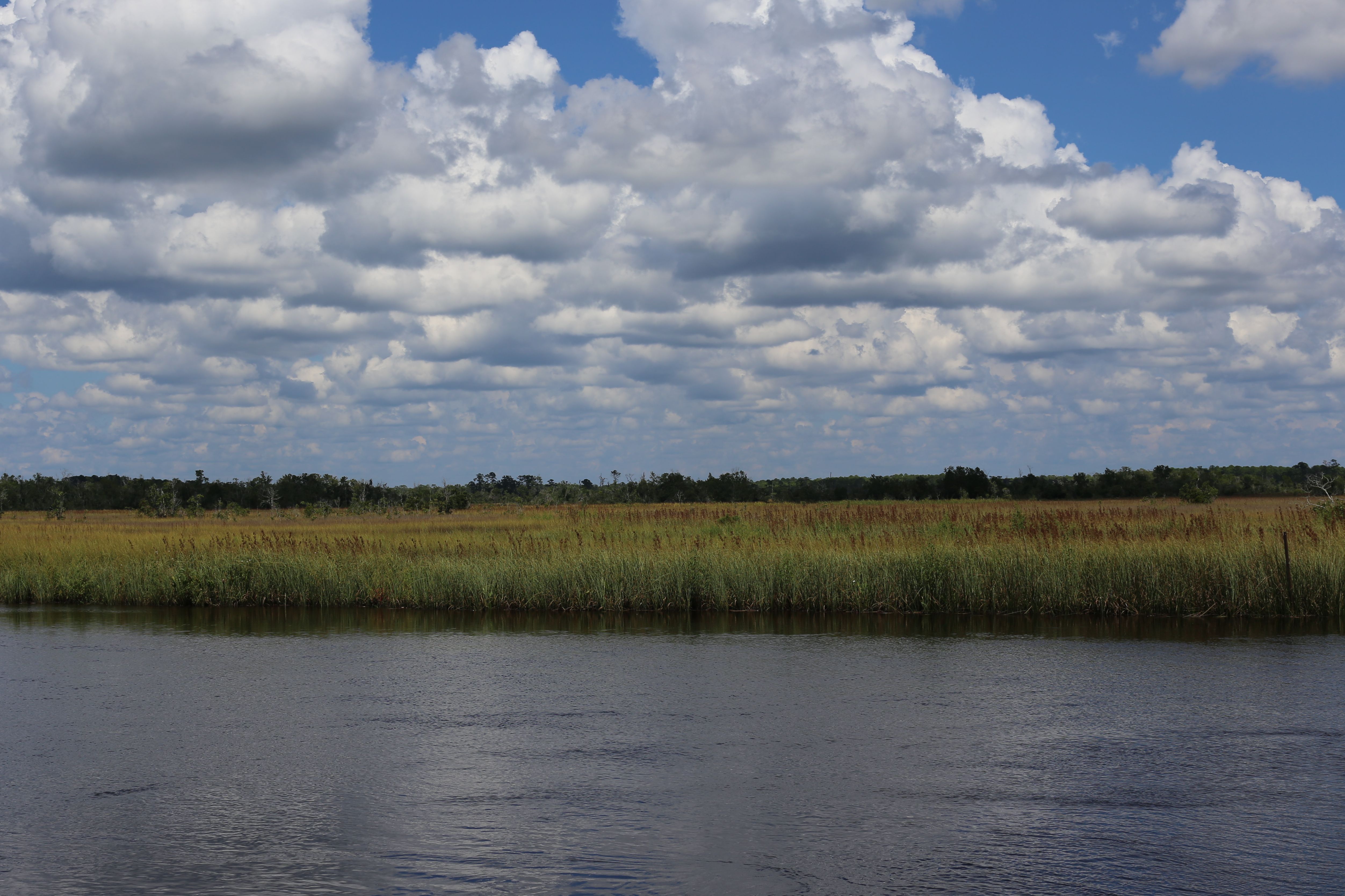
Estuary 3
Dewthread sundew

Corner Pond, St. Marks National Wildlife Refuge, Wakulla County, Florida 1
grass in the river

Dewthread sundew
First Light
Topographic Map of Mt Beasor Rd, Sopchoppy, FL, USA
Find elevation by address:

Places near Mt Beasor Rd, Sopchoppy, FL, USA:
94 Mt Beasor Rd
358 Persimmon Rd
453 Seminole Ln
518 Oak Park Rd
8263 Smith Creek Rd
63 Seminole Ln
315 Seminole Ln
43 Trebor Ln
Sopchoppy
G O Willis Rd, Sopchoppy, FL, USA
Sopchoppy, FL, USA
89 Silver Lake Rd, Sopchoppy, FL, USA
304 Silver Lake Rd
176 Lake Ellen Cir
62 Stanley Dr
243 Mill Creek Rd
2551 Coastal Hwy
116 Fish Hawk Trce
252 Friendship Church Rd
4247 Crawfordville Hwy
Recent Searches:
- Elevation of Corso Fratelli Cairoli, 35, Macerata MC, Italy
- Elevation of Tallevast Rd, Sarasota, FL, USA
- Elevation of 4th St E, Sonoma, CA, USA
- Elevation of Black Hollow Rd, Pennsdale, PA, USA
- Elevation of Oakland Ave, Williamsport, PA, USA
- Elevation of Pedrógão Grande, Portugal
- Elevation of Klee Dr, Martinsburg, WV, USA
- Elevation of Via Roma, Pieranica CR, Italy
- Elevation of Tavkvetili Mountain, Georgia
- Elevation of Hartfords Bluff Cir, Mt Pleasant, SC, USA