Elevation of MS-, Bentonia, MS, USA
Location: United States > Mississippi > Yazoo County > Bentonia >
Longitude: -90.501918
Latitude: 32.6341316
Elevation: 106m / 348feet
Barometric Pressure: 100KPa
Elevation Map:
Satellite Map:
Related Photos:
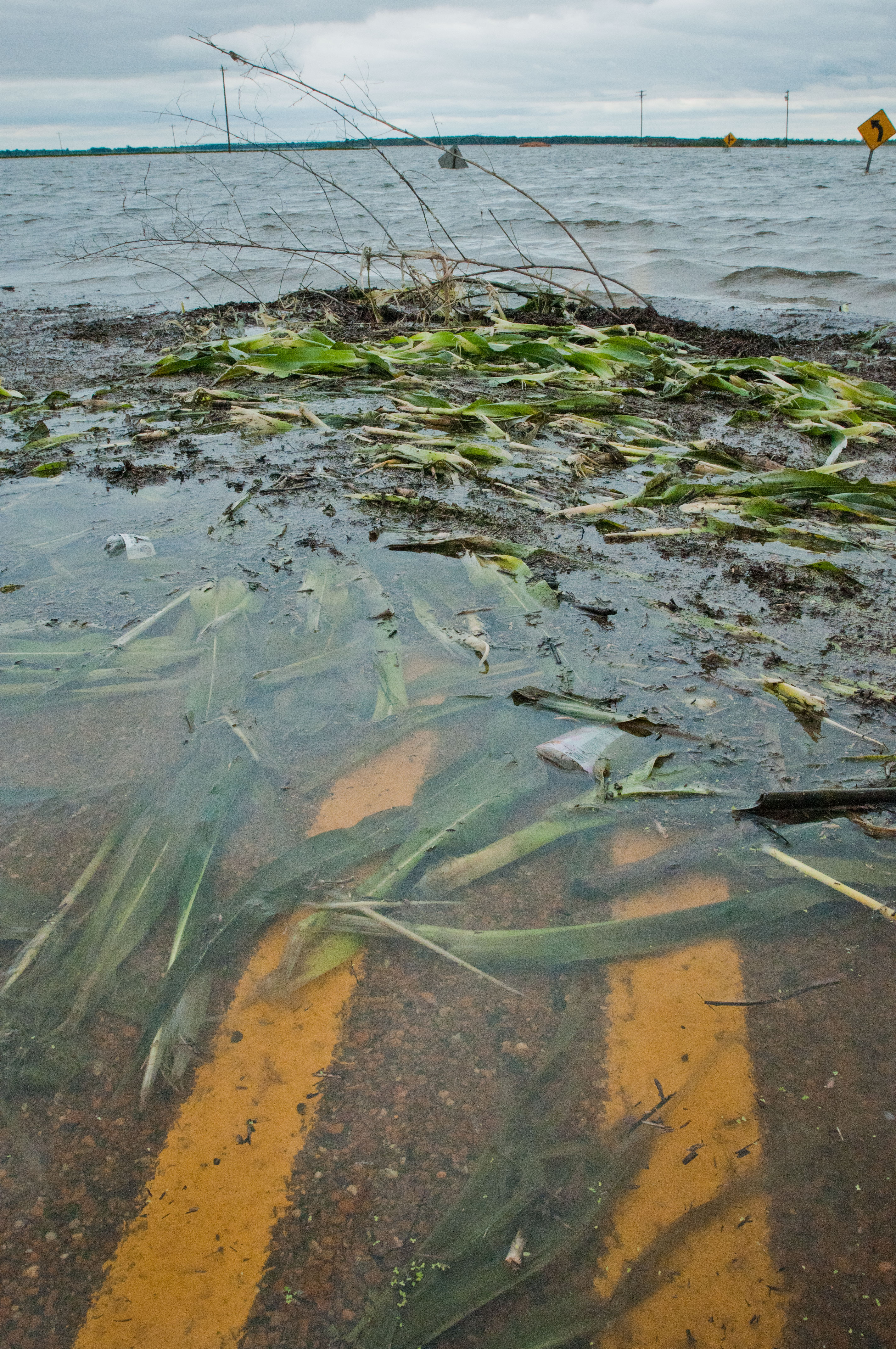
20110516-NRCS-LSC-0437

Before & After
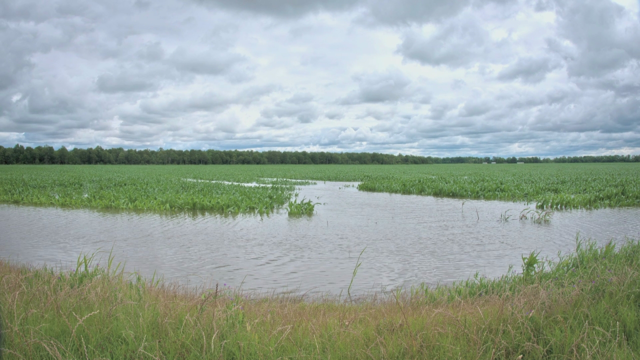
20110516-NRCS-LSC-900
Woods in Satartia, Mississippi
Mississippi Woods
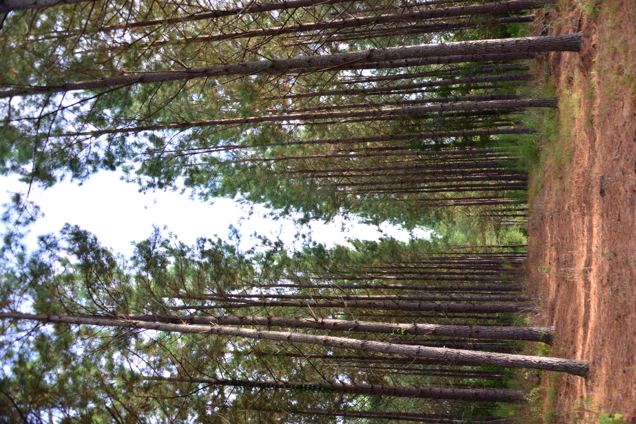
Piney woods
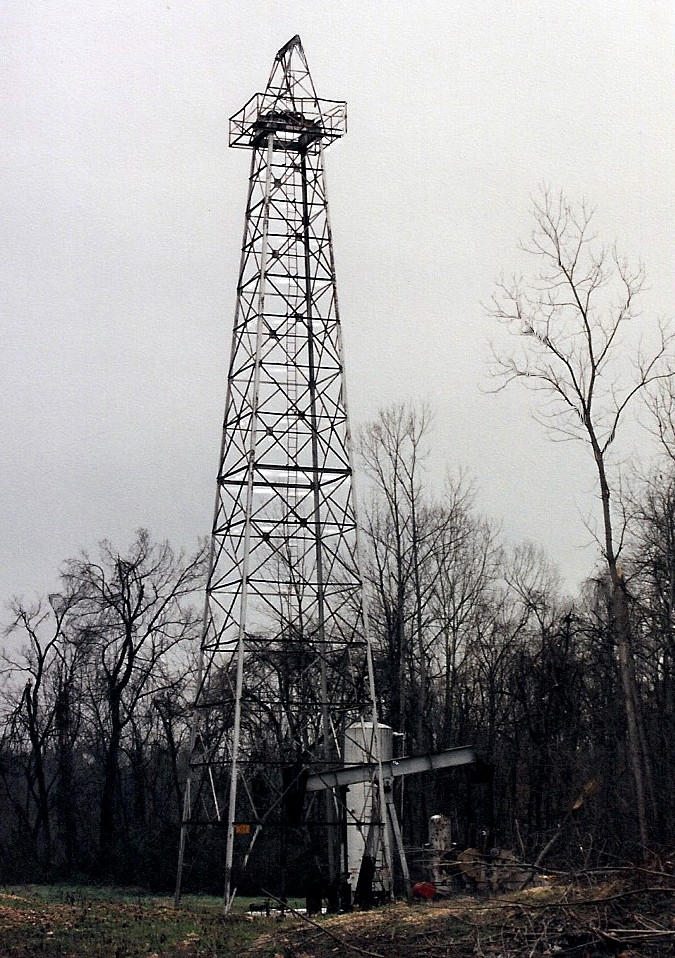
The Ghost of Tinsley
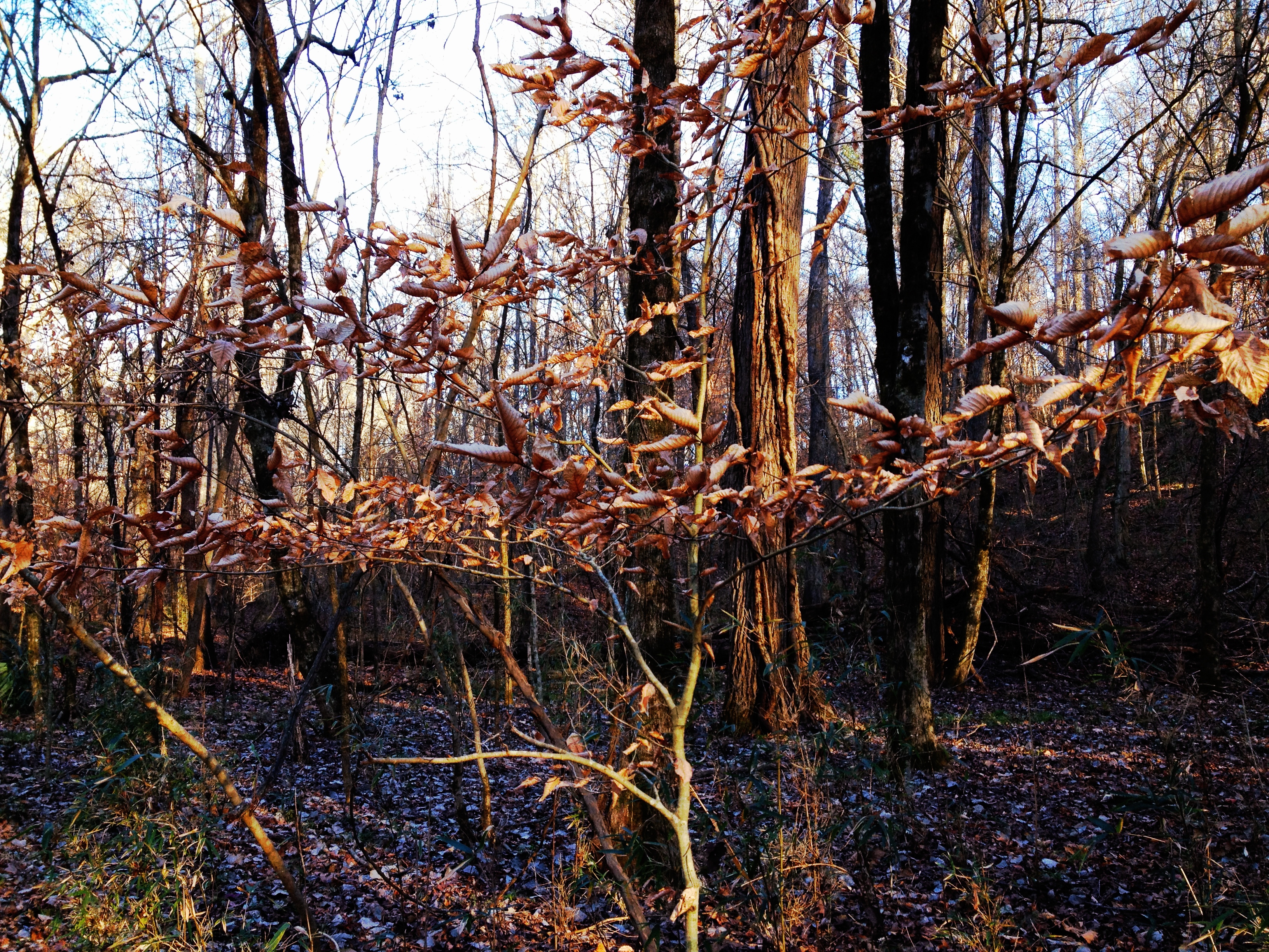
Woods in Satartia, Mississippi
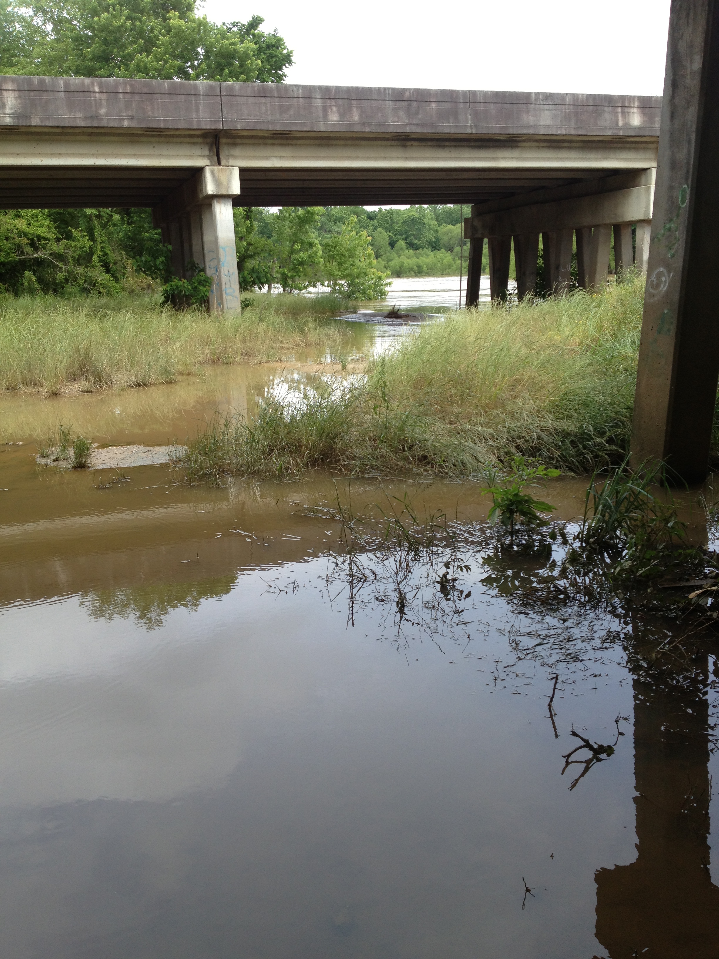
Big Black River Hwy 49 Crossing
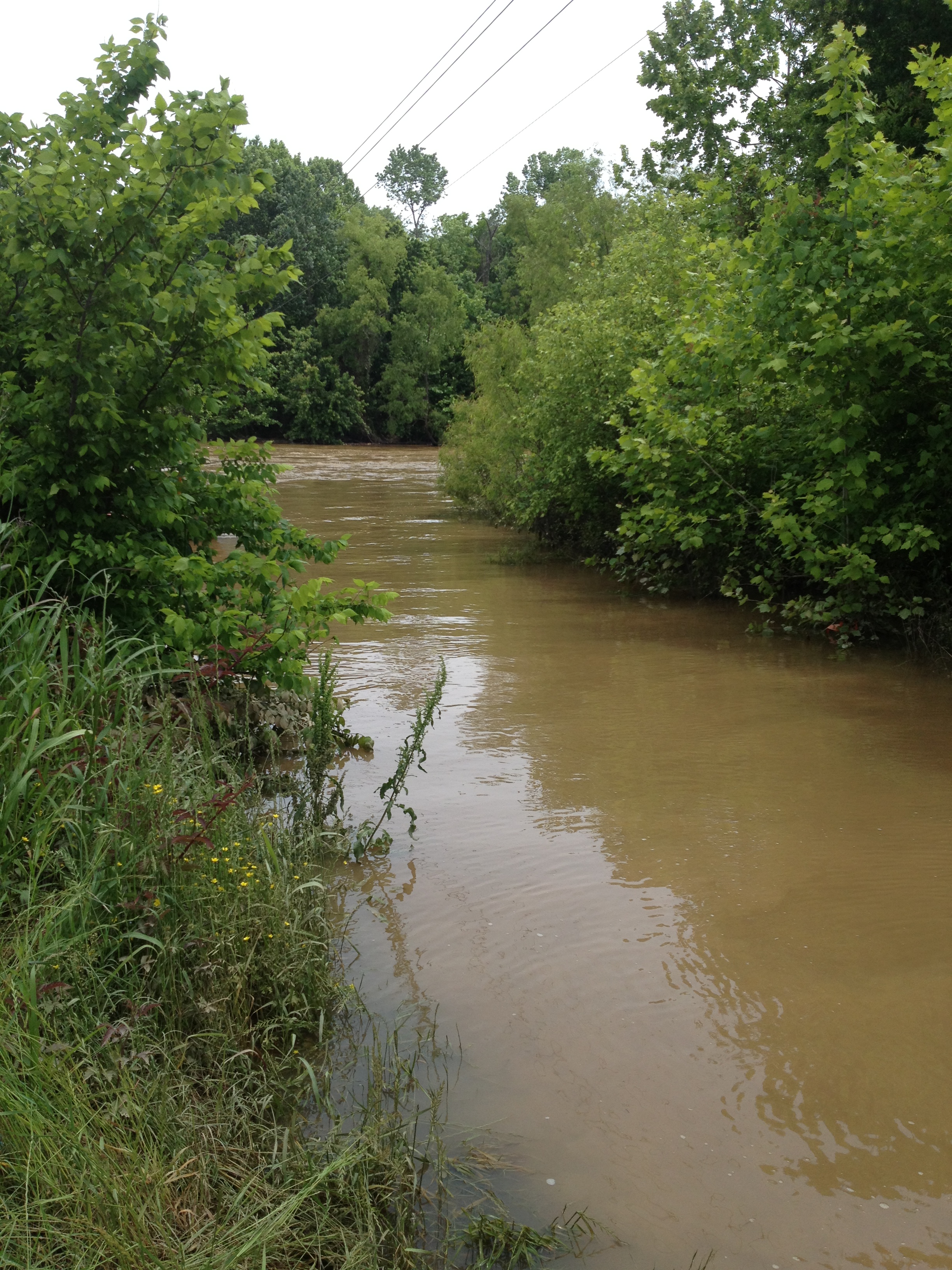
Big Black River - MS
Topographic Map of MS-, Bentonia, MS, USA
Find elevation by address:

Places near MS-, Bentonia, MS, USA:
Satartia
E Coxs Ferry Rd, Bolton, MS, USA
Bentonia
Smithhart Rd, Vicksburg, MS, USA
Farr Rd, Bolton, MS, USA
Flora
Yazoo County
Youngton Rd, Vicksburg, MS, USA
650 12 Mile Bayou Rd
4270 Paradise Rd
MS-, Bentonia, MS, USA
Yazoo City
3975 Spanish Fort Rd
Pocahontas Road
7047 Spanish Fort Rd
7047 Spanish Fort Rd
7047 Spanish Fort Rd
Spanish Fort Rd, Holly Bluff, MS, USA
354 Mccurdy Dr
354 Mccurdy Dr
Recent Searches:
- Elevation of Corso Fratelli Cairoli, 35, Macerata MC, Italy
- Elevation of Tallevast Rd, Sarasota, FL, USA
- Elevation of 4th St E, Sonoma, CA, USA
- Elevation of Black Hollow Rd, Pennsdale, PA, USA
- Elevation of Oakland Ave, Williamsport, PA, USA
- Elevation of Pedrógão Grande, Portugal
- Elevation of Klee Dr, Martinsburg, WV, USA
- Elevation of Via Roma, Pieranica CR, Italy
- Elevation of Tavkvetili Mountain, Georgia
- Elevation of Hartfords Bluff Cir, Mt Pleasant, SC, USA