Elevation of Mpanda, Tanzania
Location: Tanzania > Rukwa > Mpanda >
Longitude: 31.0736389
Latitude: -6.3477635
Elevation: 1085m / 3560feet
Barometric Pressure: 89KPa
Elevation Map:
Satellite Map:
Related Photos:
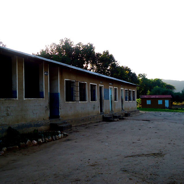
Hapa ndipo nilipoanza darasa la kwanza to std six- pahi kondoa 1993

This is #Mpanda

Judith6 139

Judith6 138
Topographic Map of Mpanda, Tanzania
Find elevation by address:

Places near Mpanda, Tanzania:
Recent Searches:
- Elevation of Corso Fratelli Cairoli, 35, Macerata MC, Italy
- Elevation of Tallevast Rd, Sarasota, FL, USA
- Elevation of 4th St E, Sonoma, CA, USA
- Elevation of Black Hollow Rd, Pennsdale, PA, USA
- Elevation of Oakland Ave, Williamsport, PA, USA
- Elevation of Pedrógão Grande, Portugal
- Elevation of Klee Dr, Martinsburg, WV, USA
- Elevation of Via Roma, Pieranica CR, Italy
- Elevation of Tavkvetili Mountain, Georgia
- Elevation of Hartfords Bluff Cir, Mt Pleasant, SC, USA