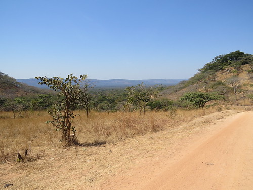
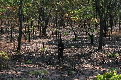
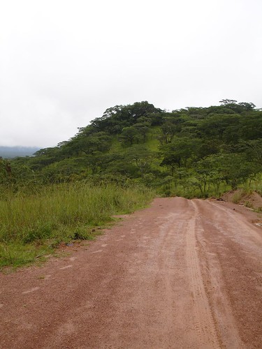
Elevation map of Mpanda, Tanzania
Location: Tanzania > Rukwa >
Longitude: 31.2626366
Latitude: -6.3677125
Elevation: 1101m / 3612feet
Barometric Pressure: 89KPa
Related Photos:
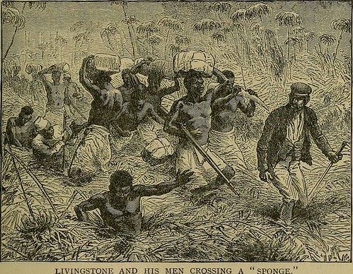
Image from page 248 of "Wonders of the tropics; or, Explorations and adventures of Henry M. Stanley and other world-renowned travelers, including Livingstone, Baker, Cameron, Speke, Emin Pasha, Du Chaillu, Andersson, etc., etc. .." (1889)

Image from page 74 of "The River Congo from its mouth to Bólobó; with a general description of the natural history and anthropology of its western basin" (1895)
Topographic Map of Mpanda, Tanzania
Find elevation by address:

Places in Mpanda, Tanzania:
Places near Mpanda, Tanzania:
Recent Searches:
- Elevation of Corso Fratelli Cairoli, 35, Macerata MC, Italy
- Elevation of Tallevast Rd, Sarasota, FL, USA
- Elevation of 4th St E, Sonoma, CA, USA
- Elevation of Black Hollow Rd, Pennsdale, PA, USA
- Elevation of Oakland Ave, Williamsport, PA, USA
- Elevation of Pedrógão Grande, Portugal
- Elevation of Klee Dr, Martinsburg, WV, USA
- Elevation of Via Roma, Pieranica CR, Italy
- Elevation of Tavkvetili Mountain, Georgia
- Elevation of Hartfords Bluff Cir, Mt Pleasant, SC, USA
