Elevation of Mount Victoria, Myanmar (Burma)
Location: Myanmar (burma) > Chin State > Mindat > Kanpetlet >
Longitude: 93.9028931
Latitude: 21.2332423
Elevation: 3059m / 10036feet
Barometric Pressure: 0KPa
Related Photos:

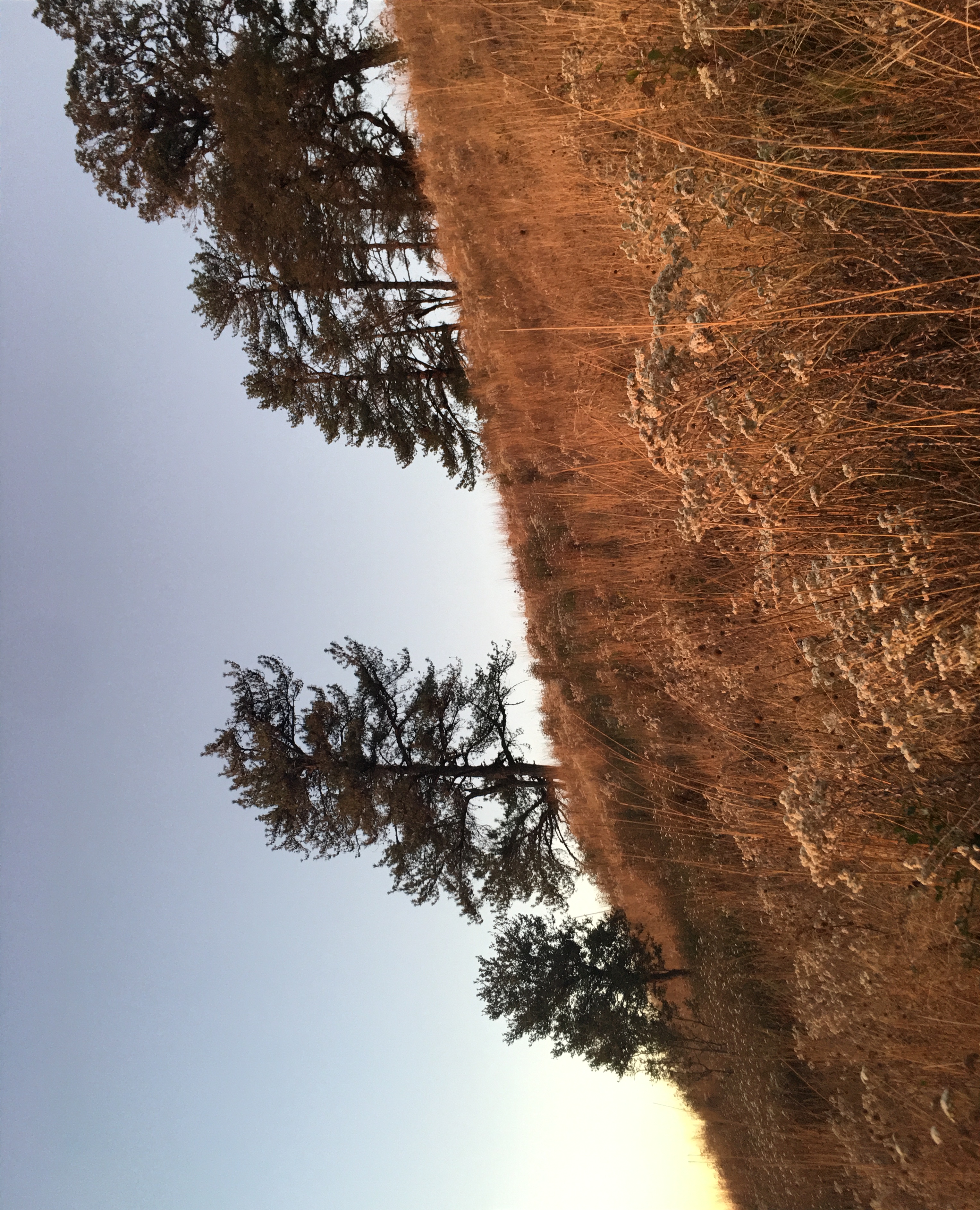
Myanmar 249
Great Barbet (Psilopogon virens)

Myanmar 2013 - Tribes - 256FL.jpg
@ Mount Victoria
Myanmar 211

Long-tailed Shrike

Brown-capped Laughingthrush

Gray Sibia

Crested Finchbill

Gray Bushchat

Gray Bushchat

Stripe-breasted Woodpecker

Himalayan Buzzard
Oasis Mountain Resort
@ Mount Victoria

@ Mount Victoria

@ Mount Victoria

White-browed Nuthatch (Sittae victoriae)

Bar-throated Minla (Minla strigula)

Myanmar 215

Myanmar 2013 - Tribes - 265FL.jpg

Myanmar 2013 - Tribes - 258FL.jpg

Myanmar 2013 - Tribes - 251FL.jpg

#MünTribe #smokingTatooWoman

#MünTribe #smokingTatooWoman
Topographic Map of Mount Victoria, Myanmar (Burma)
Find elevation by address:

Places near Mount Victoria, Myanmar (Burma):
Arakan Mountains
Mindat
Kanpetlet
Myo Oo Pagoda
Kyaukhtu
Mindat
Matupi
Gangaw
Rezua
Gangaw
Leipi
Paletwa
Chin State
Chin Hills
Saiha
Siaha
Recent Searches:
- Elevation of 611, Roman Road, Old Ford, Bow, London, England, E3 2RW, United Kingdom
- Elevation of 116, Beartown Road, Underhill, Chittenden County, Vermont, 05489, USA
- Elevation of Window Rock, Colfax County, New Mexico, 87714, USA
- Elevation of 4807, Rosecroft Street, Kempsville Gardens, Virginia Beach, Virginia, 23464, USA
- Elevation map of Matawinie, Quebec, Canada
- Elevation of Sainte-Émélie-de-l'Énergie, Matawinie, Quebec, Canada
- Elevation of Rue du Pont, Sainte-Émélie-de-l'Énergie, Matawinie, Quebec, J0K2K0, Canada
- Elevation of 8, Rue de Bécancour, Blainville, Thérèse-De Blainville, Quebec, J7B1N2, Canada
- Elevation of Wilmot Court North, 163, University Avenue West, Northdale, Waterloo, Region of Waterloo, Ontario, N2L6B6, Canada
- Elevation map of Panamá Province, Panama
- Elevation of Balboa, Panamá Province, Panama
- Elevation of San Miguel, Balboa, Panamá Province, Panama
- Elevation of Isla Gibraleón, San Miguel, Balboa, Panamá Province, Panama
- Elevation of 4655, Krischke Road, Schulenburg, Fayette County, Texas, 78956, USA
- Elevation of Carnegie Avenue, Downtown Cleveland, Cleveland, Cuyahoga County, Ohio, 44115, USA
- Elevation of Walhonding, Coshocton County, Ohio, USA
- Elevation of Clifton Down, Clifton, Bristol, City of Bristol, England, BS8 3HU, United Kingdom
- Elevation map of Auvergne-Rhône-Alpes, France
- Elevation map of Upper Savoy, Auvergne-Rhône-Alpes, France
- Elevation of Chamonix-Mont-Blanc, Upper Savoy, Auvergne-Rhône-Alpes, France