Elevation of Mount Uriah, West Coast, New Zealand
Location: New Zealand > West Coast > Lower Buller >
Longitude: 171.642499
Latitude: -42.018333
Elevation: 967m / 3173feet
Barometric Pressure: 90KPa
Elevation Map:
Satellite Map:
Related Photos:
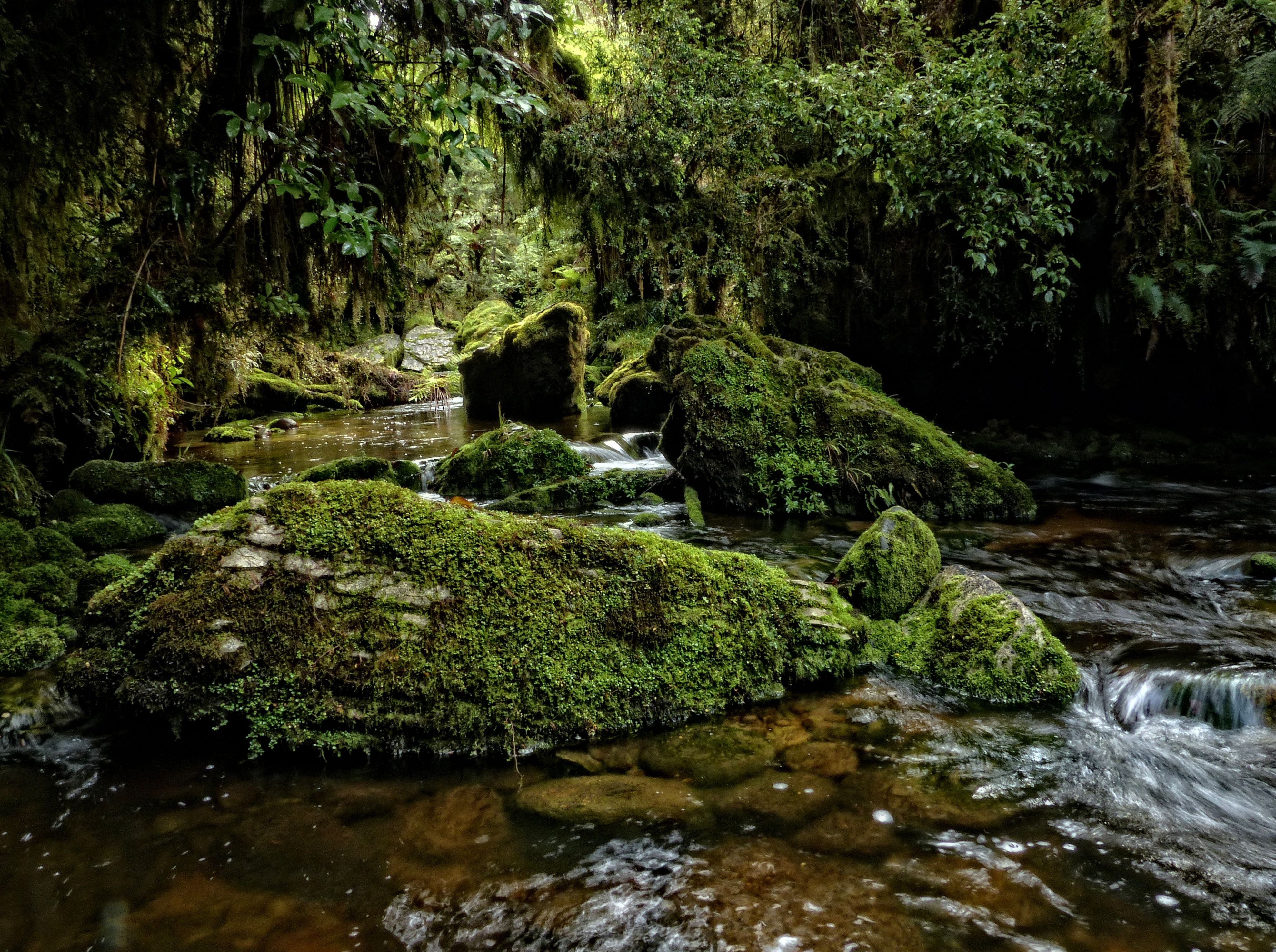
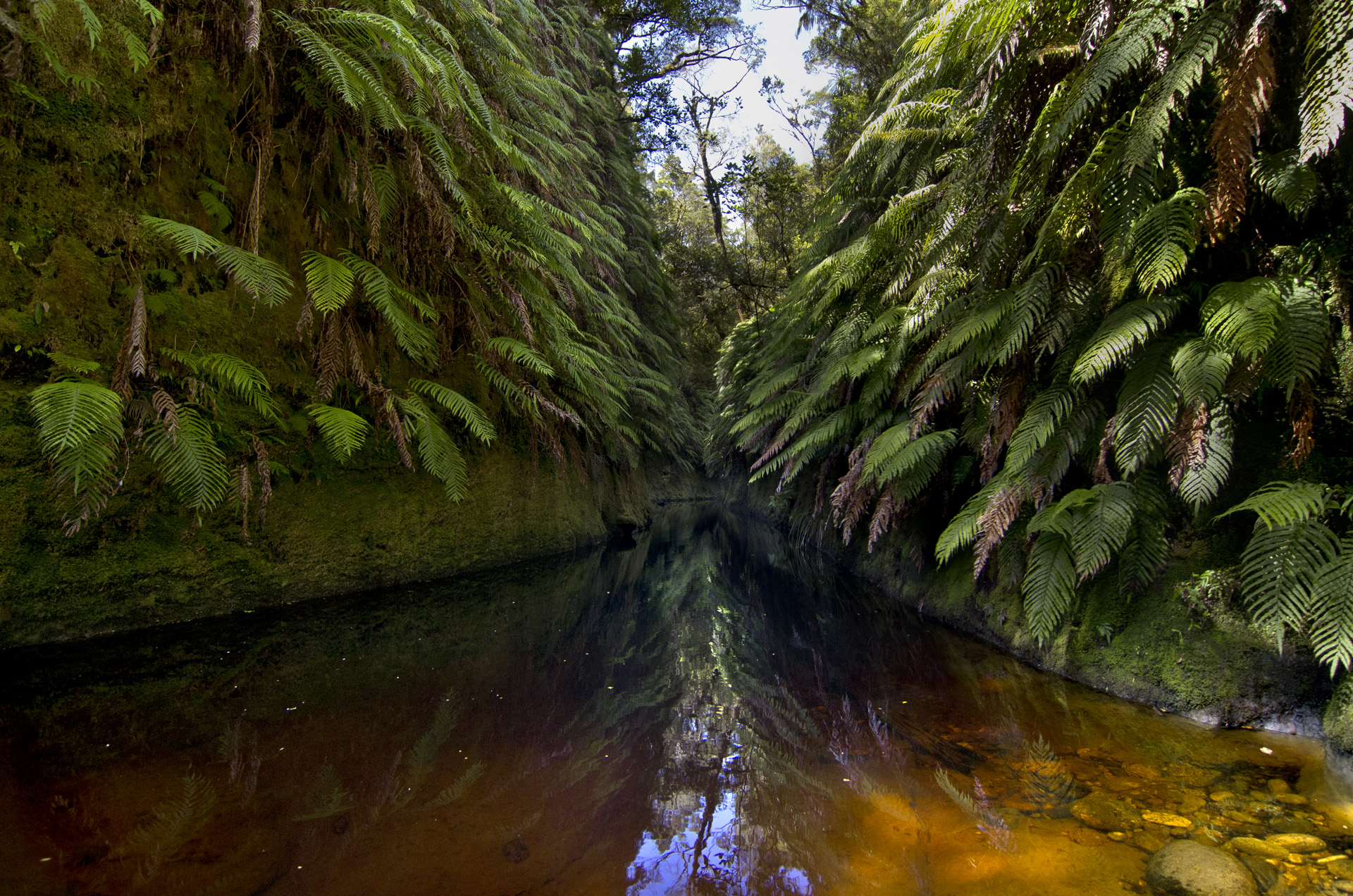
Makirikiri Stream, Paparoa Range, West Coast
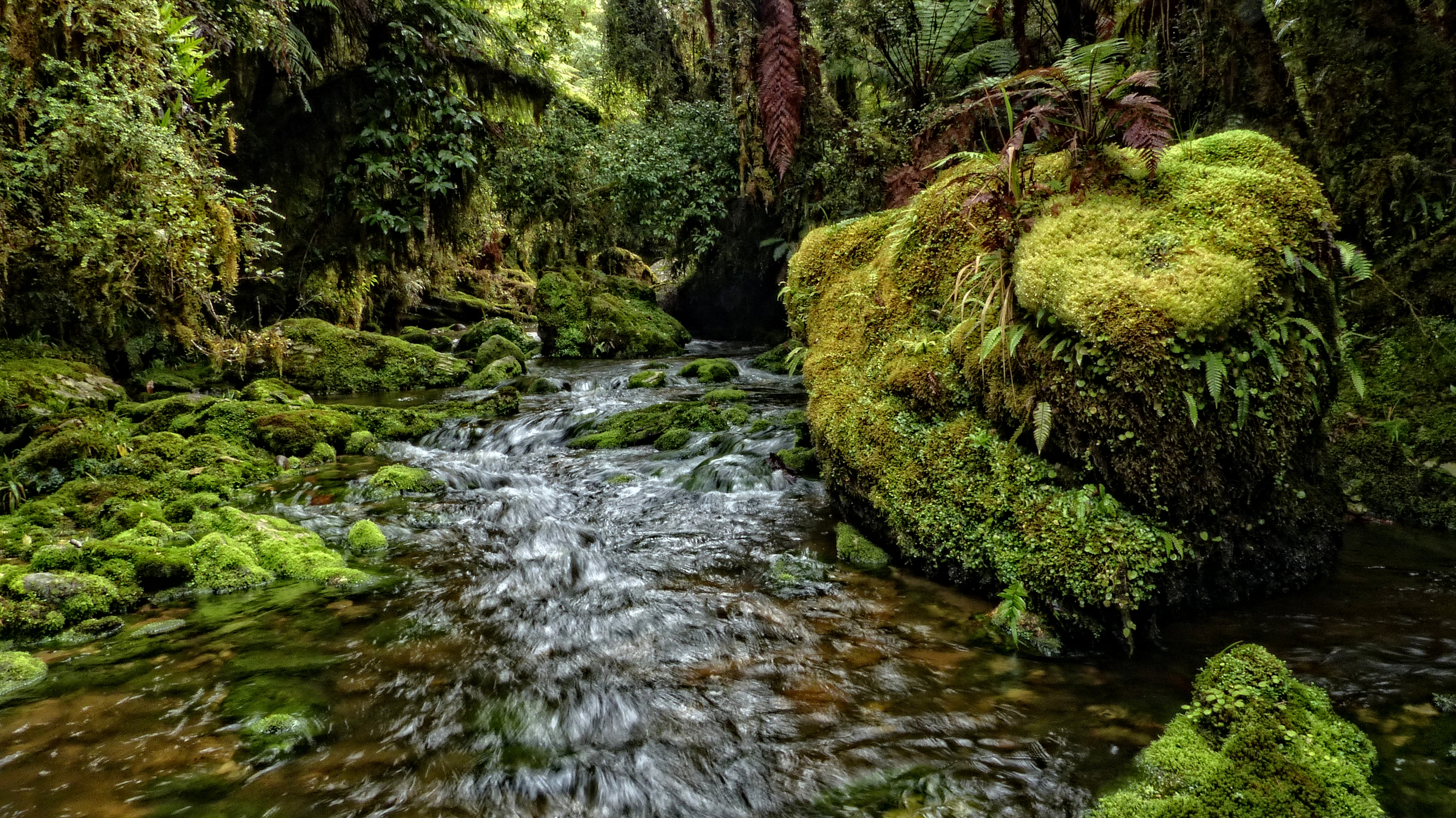
Makirikiri Stream, Paparoa Range
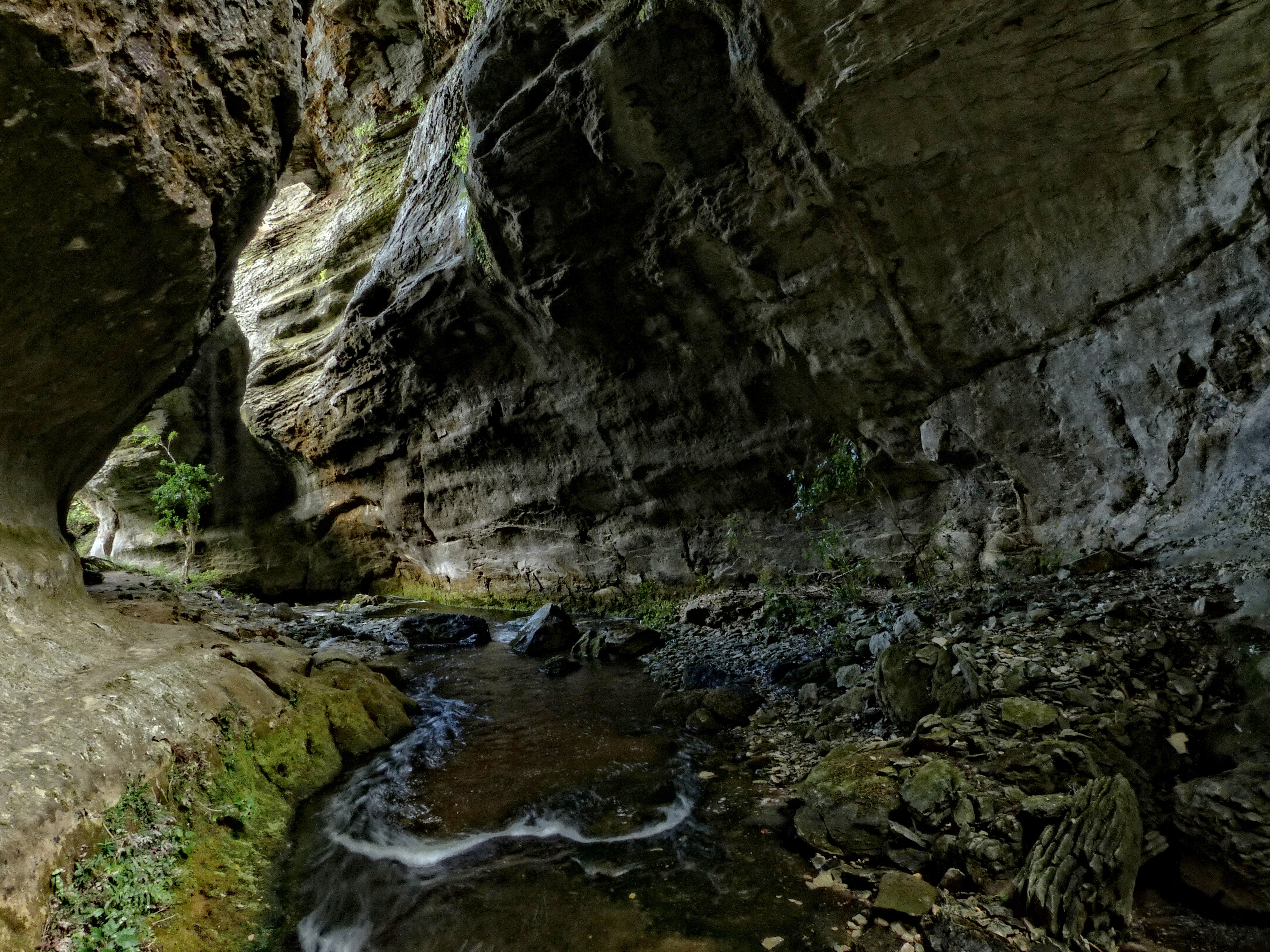
The Hole In The Wall
Makirikiri Stream, Paparoa Range, West Coast
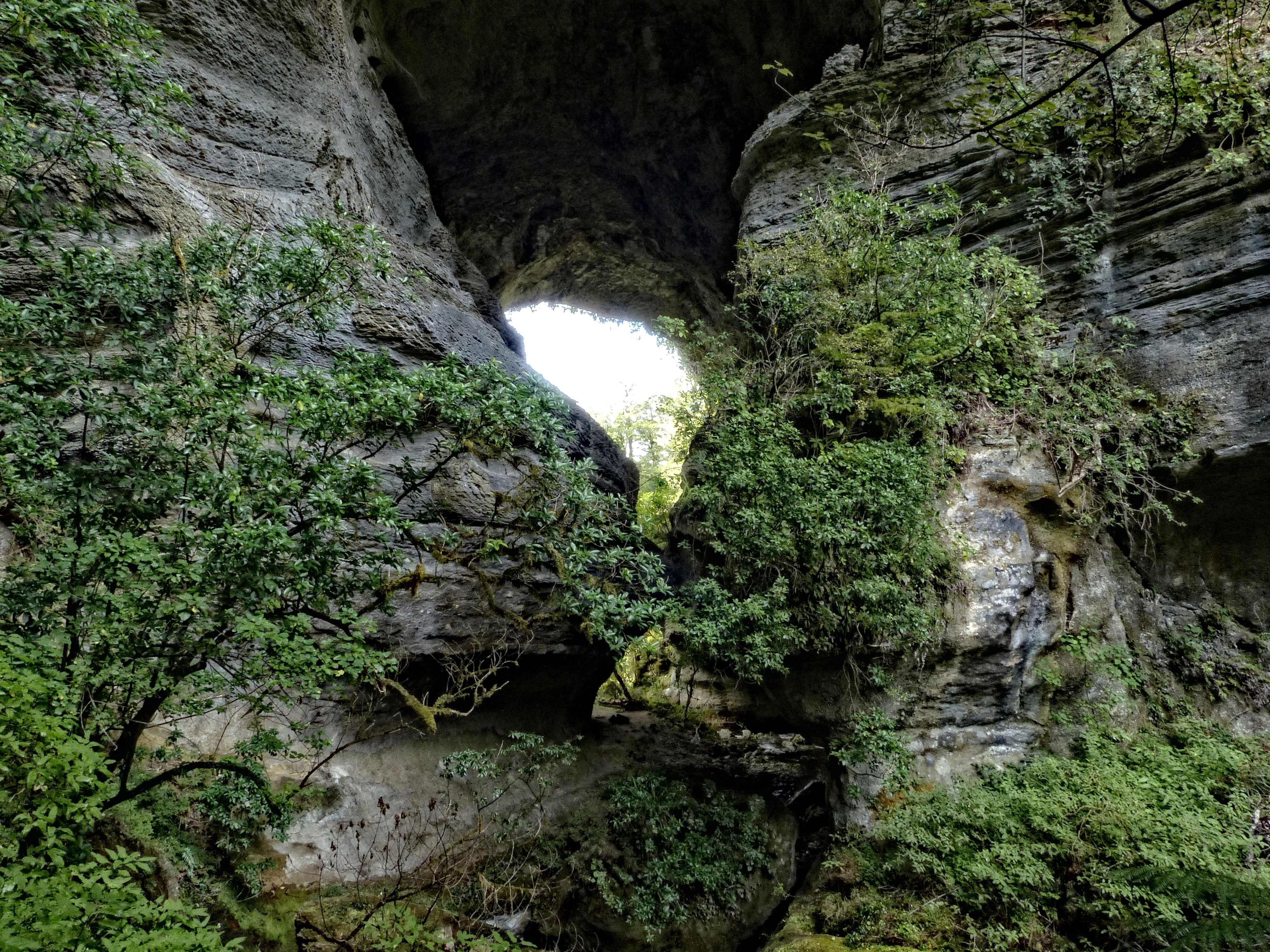
The Hole In The Wall
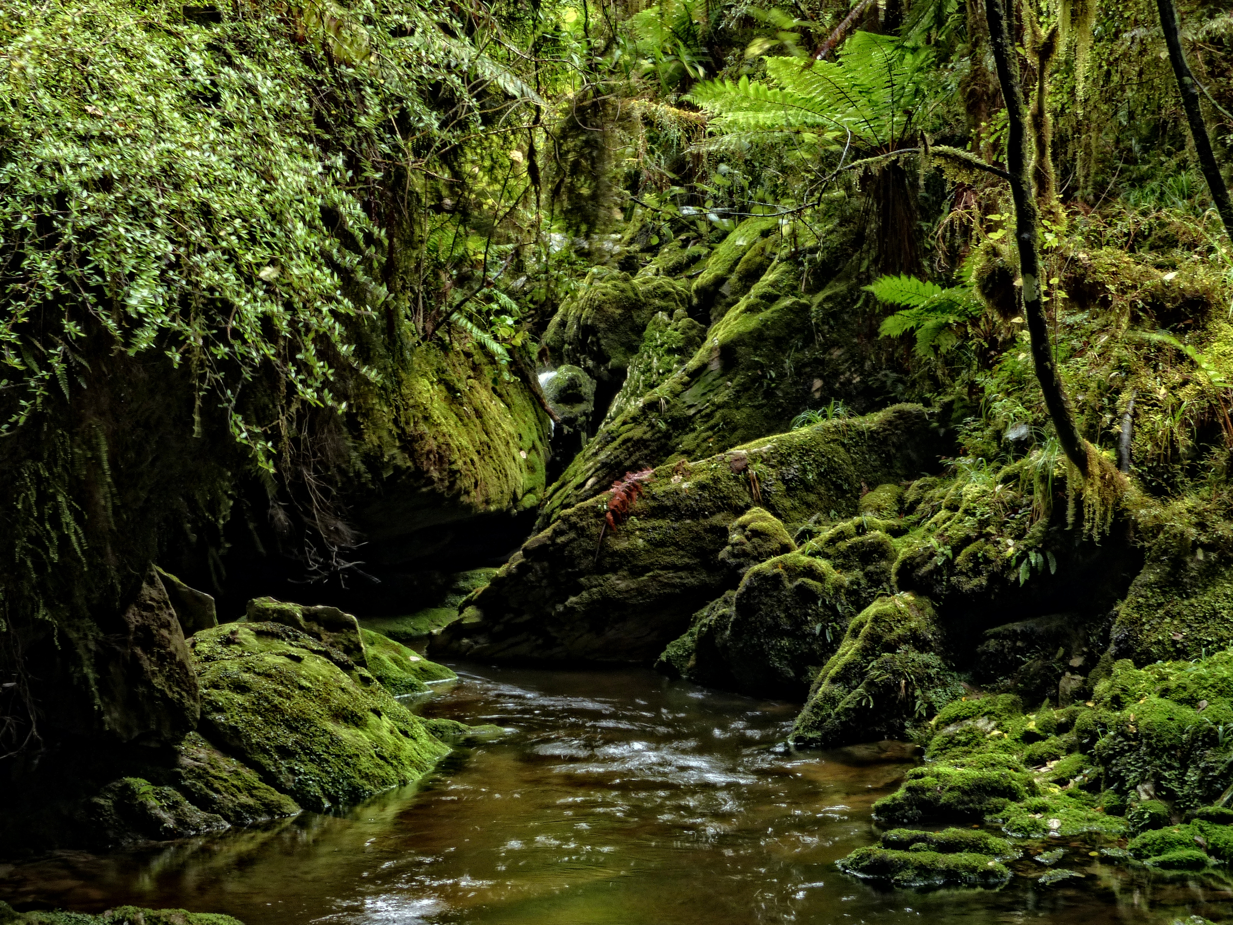
The Inky Black
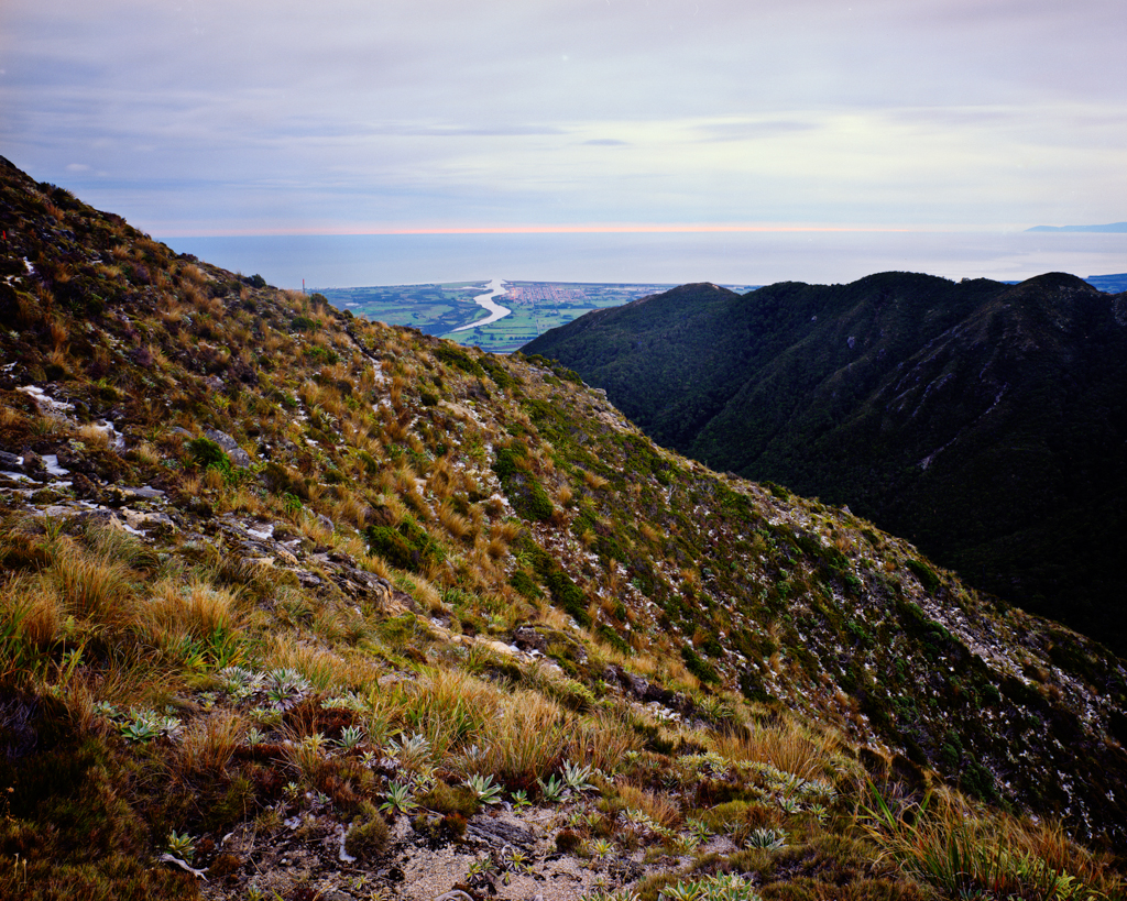
Westport and the Buller River
Topographic Map of Mount Uriah, West Coast, New Zealand
Find elevation by address:

Places near Mount Uriah, West Coast, New Zealand:
Lower Buller
Fonblanque Street
Domett Street
Westport
Palmerston Street
Derby Street
Kilkenny Park
4 Coates St
2 Coates St
Coates Street
Victoria Forest Park
Nelson Lakes National Park
Lake Rotoroa
Mount Franklyn
Glenhope
Lake Rotoiti
Kahurangi National Park
Tapawera
86 Main Road Tapawera
Tasman
Recent Searches:
- Elevation of Corso Fratelli Cairoli, 35, Macerata MC, Italy
- Elevation of Tallevast Rd, Sarasota, FL, USA
- Elevation of 4th St E, Sonoma, CA, USA
- Elevation of Black Hollow Rd, Pennsdale, PA, USA
- Elevation of Oakland Ave, Williamsport, PA, USA
- Elevation of Pedrógão Grande, Portugal
- Elevation of Klee Dr, Martinsburg, WV, USA
- Elevation of Via Roma, Pieranica CR, Italy
- Elevation of Tavkvetili Mountain, Georgia
- Elevation of Hartfords Bluff Cir, Mt Pleasant, SC, USA