Elevation of Mount Franklyn, Tasman, New Zealand
Location: New Zealand > Tasman > Tasman District > Nelson Lakes National Park >
Longitude: 172.6875
Latitude: -42.051666
Elevation: 1911m / 6270feet
Barometric Pressure: 80KPa
Elevation Map:
Satellite Map:
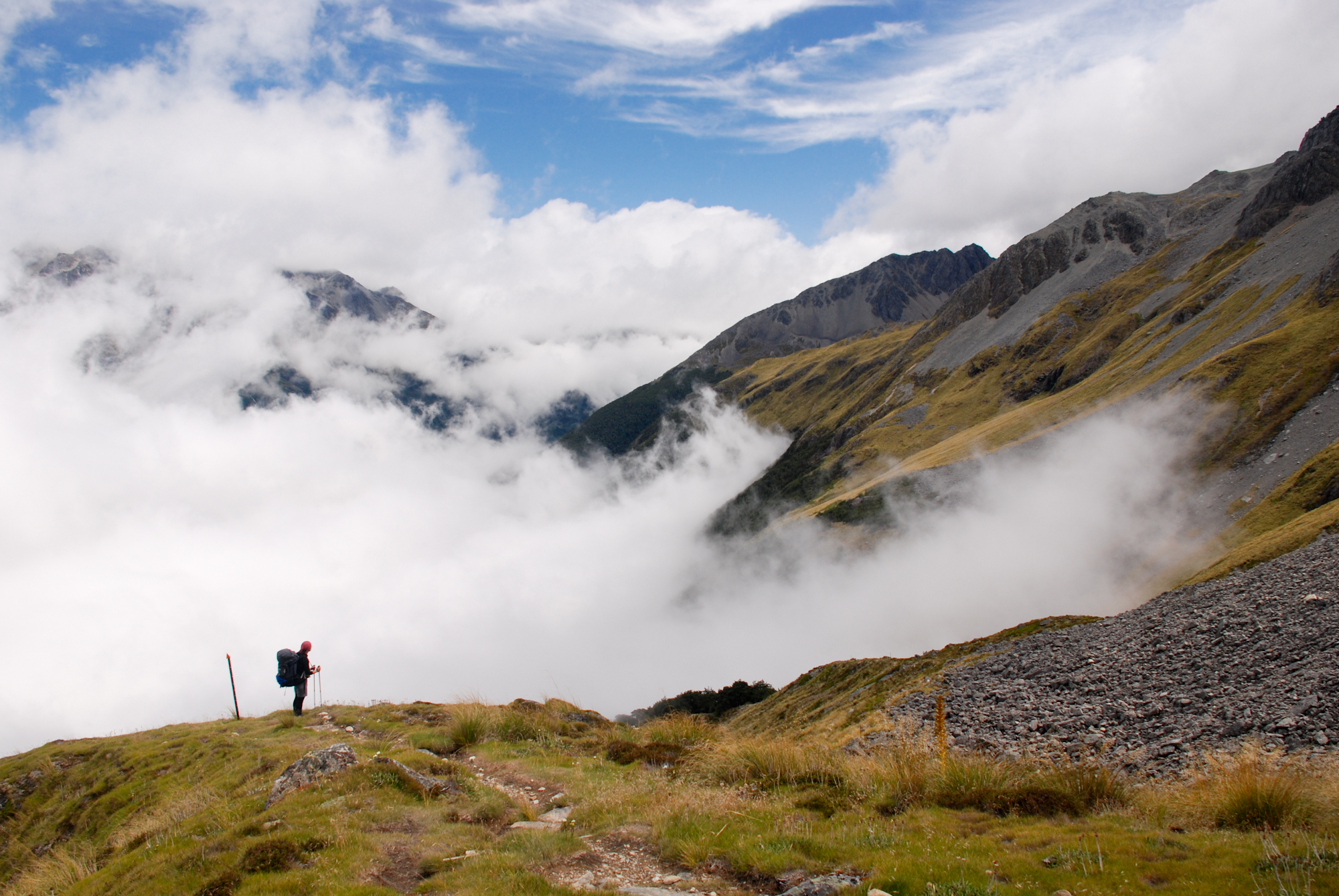
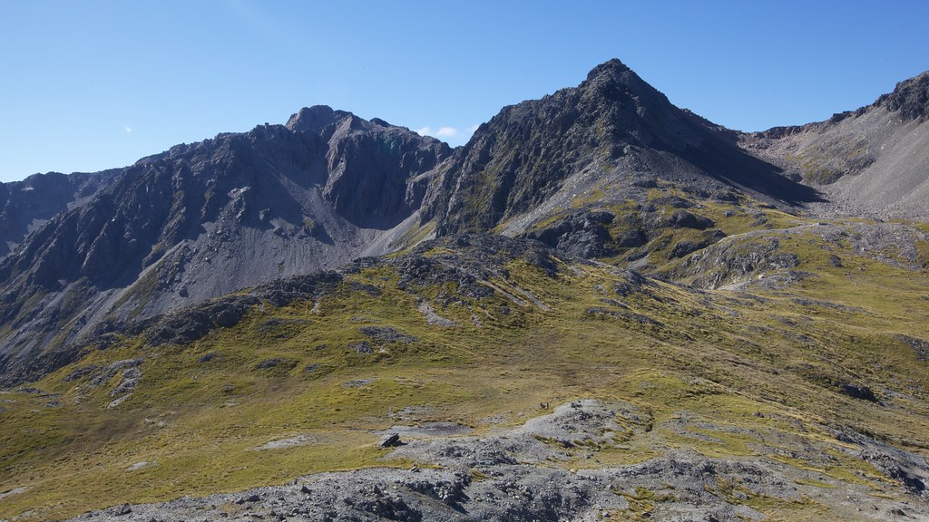
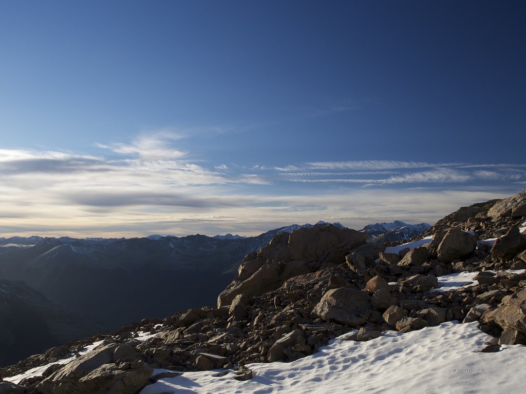
Related Photos:
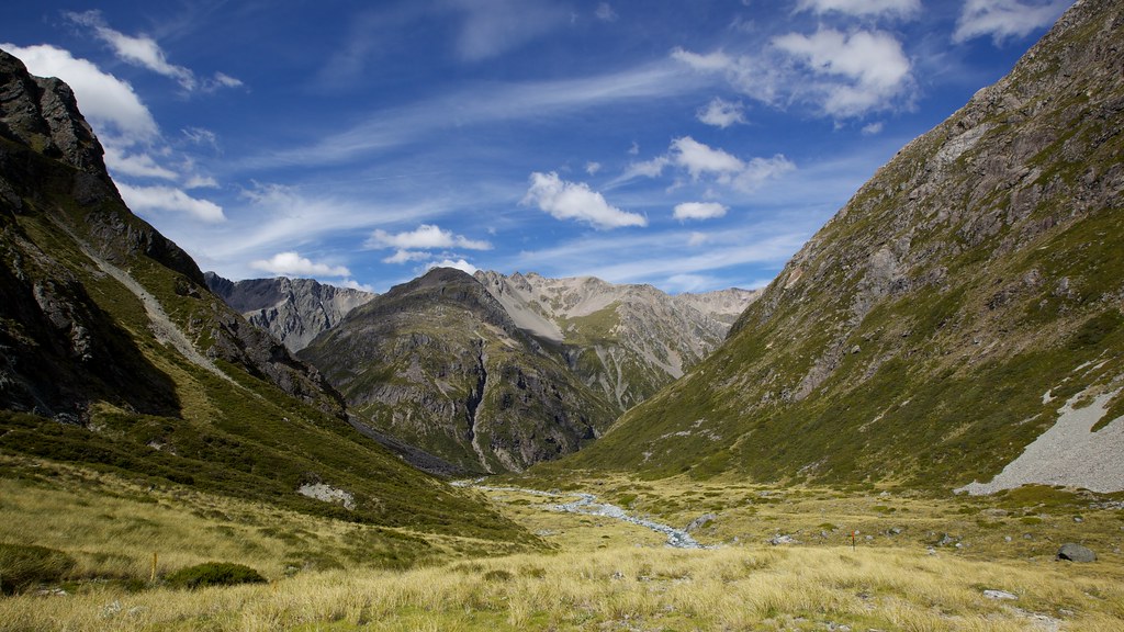
Heading into the unknown
View down to Travers Saddle
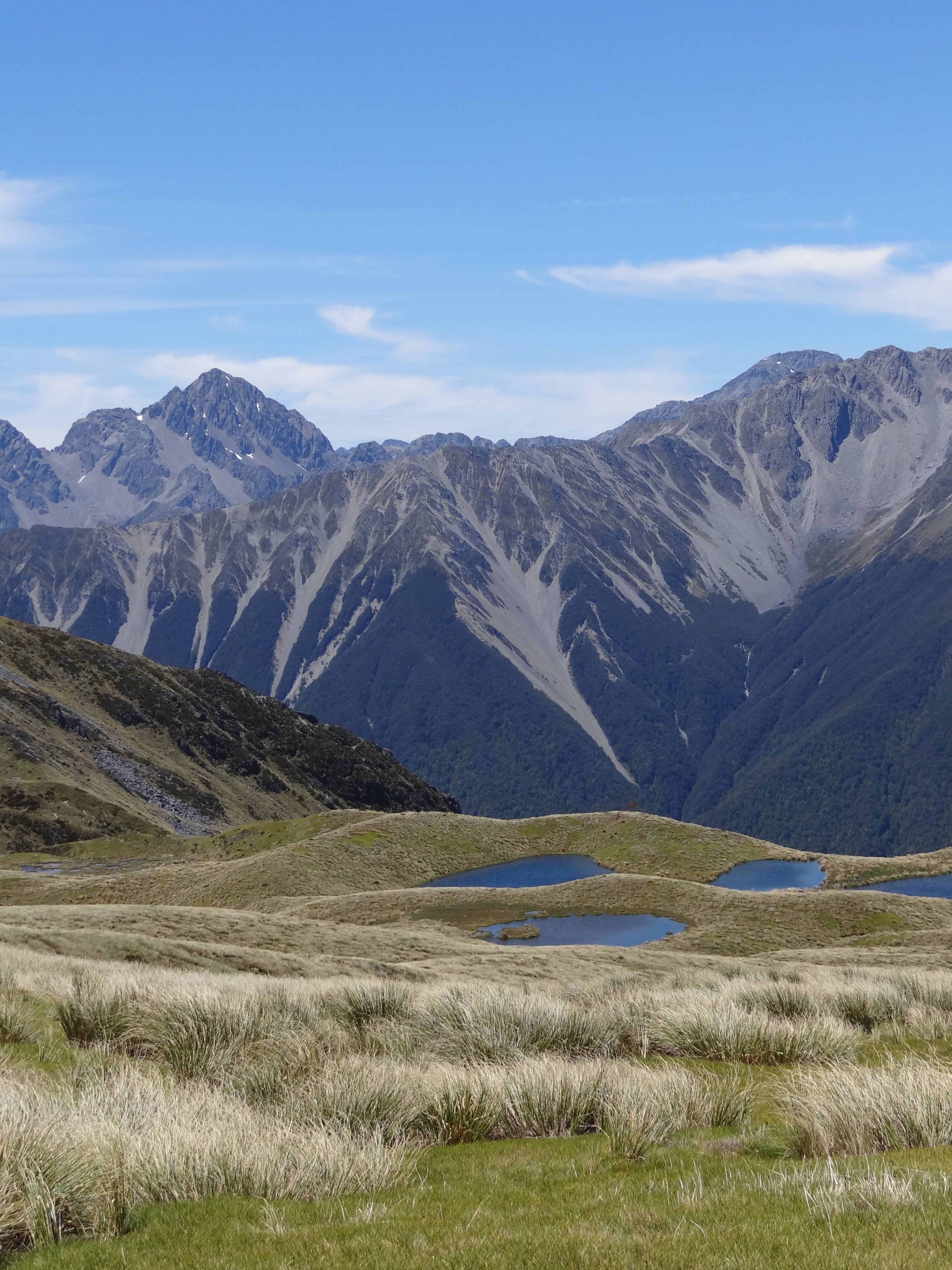
View of Mt Hopeless & Cupola from Mole Tops
The view East from the slopes of Mt Cupola
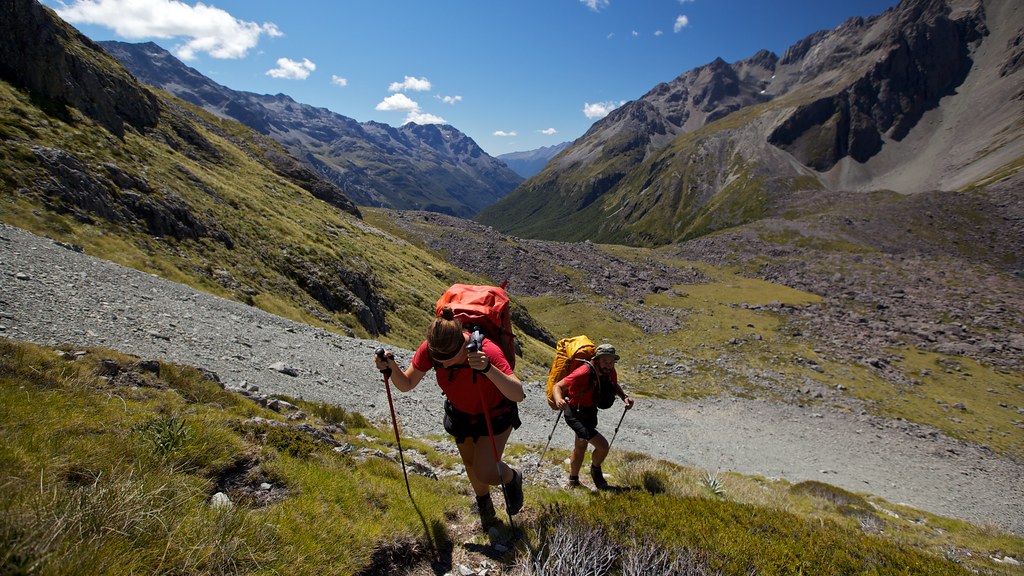
View where we're going
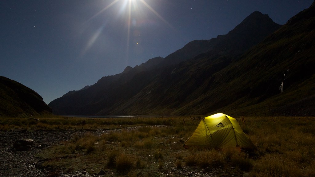
Midnight at Lake Constance
Running away from the clouds
Looking back down Sabine Valley
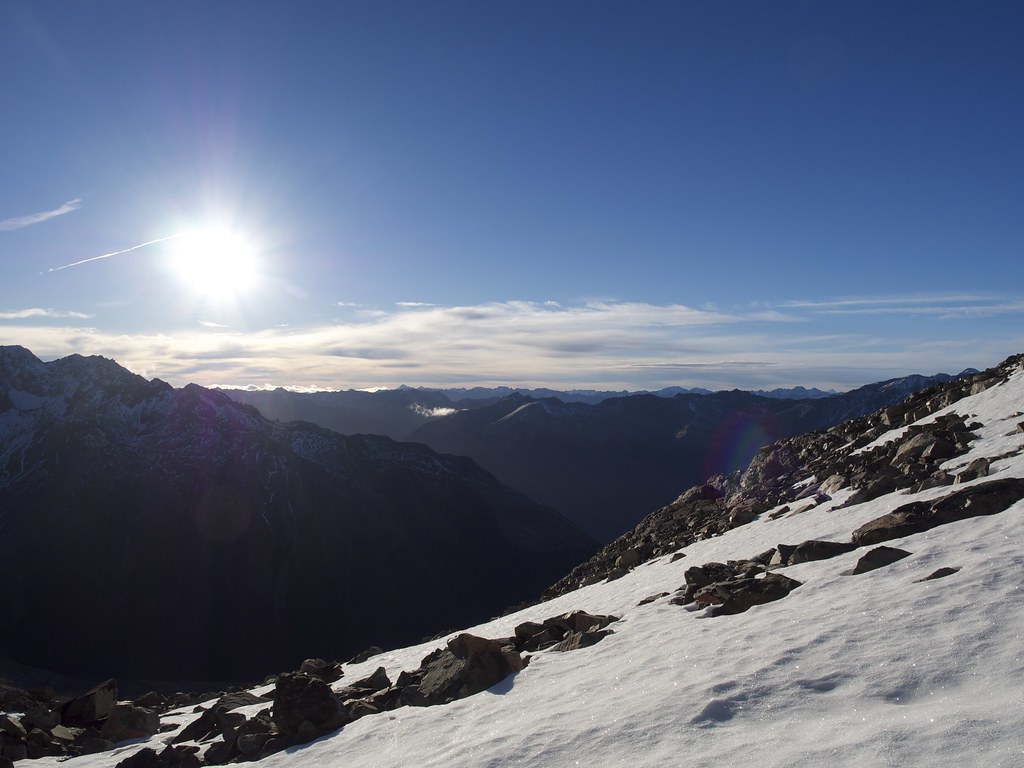
View from Mt Cupola
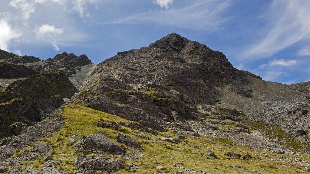
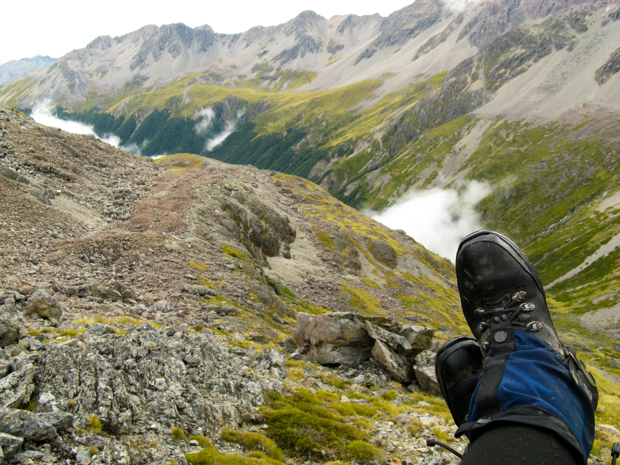
View back up the way we came down
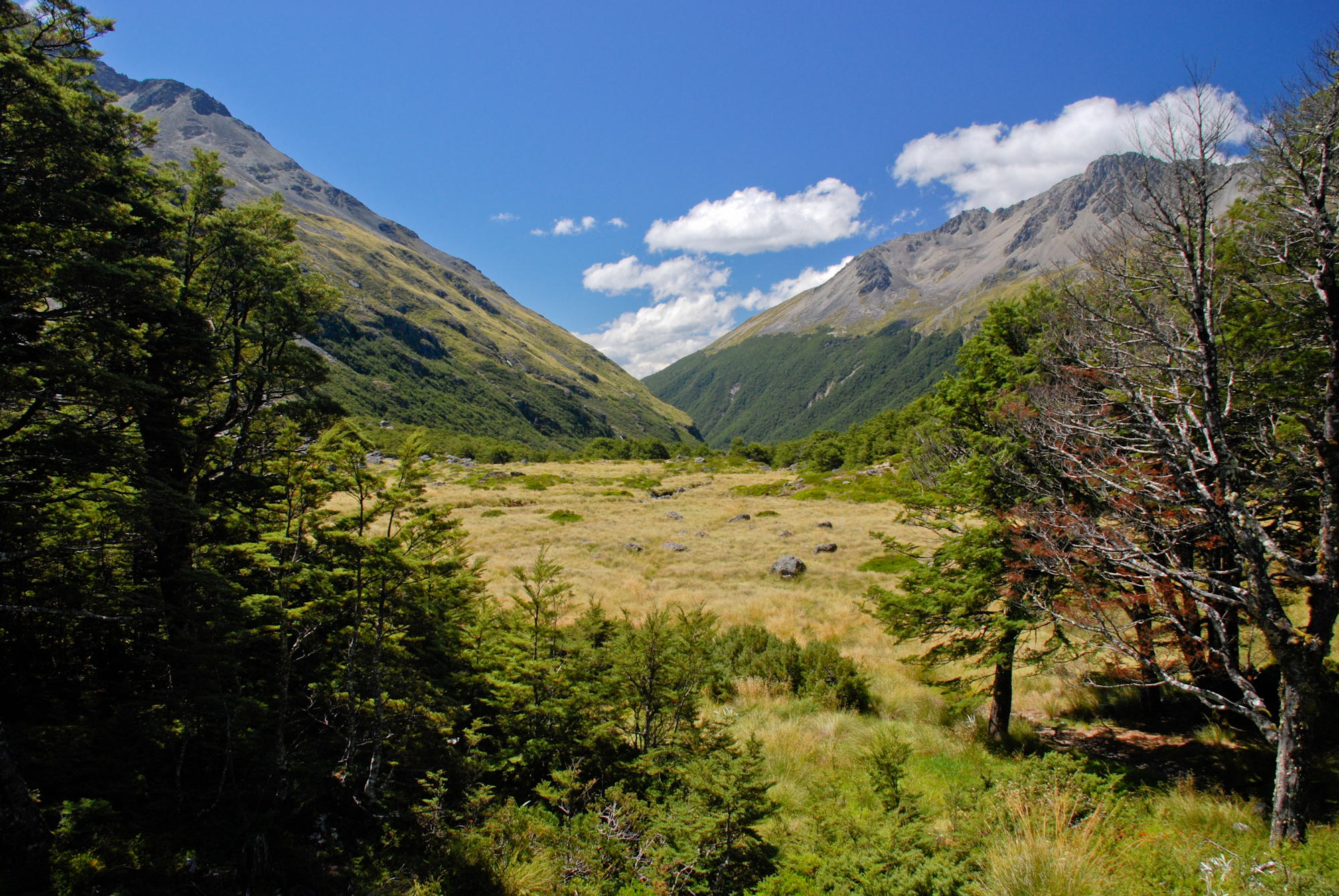
The view from Upper Travers Hut
Topographic Map of Mount Franklyn, Tasman, New Zealand
Find elevation by address:

Places near Mount Franklyn, Tasman, New Zealand:
Lake Rotoroa
Nelson Lakes National Park
Lake Rotoiti
Glenhope
Victoria Forest Park
Tapawera
86 Main Road Tapawera
Dovedale
11 Thorn Rd
Tasman
Tasman District
Lower Buller
Kahurangi National Park
Mount Uriah
Domett Street
Westport
Derby Street
Fonblanque Street
Kilkenny Park
Palmerston Street
Recent Searches:
- Elevation of Corso Fratelli Cairoli, 35, Macerata MC, Italy
- Elevation of Tallevast Rd, Sarasota, FL, USA
- Elevation of 4th St E, Sonoma, CA, USA
- Elevation of Black Hollow Rd, Pennsdale, PA, USA
- Elevation of Oakland Ave, Williamsport, PA, USA
- Elevation of Pedrógão Grande, Portugal
- Elevation of Klee Dr, Martinsburg, WV, USA
- Elevation of Via Roma, Pieranica CR, Italy
- Elevation of Tavkvetili Mountain, Georgia
- Elevation of Hartfords Bluff Cir, Mt Pleasant, SC, USA