Elevation of Mount Rae, Kananaskis, AB T0L, Canada
Location: Canada > Alberta > Turner Valley >
Longitude: -114.975
Latitude: 50.6233333
Elevation: 3111m / 10207feet
Barometric Pressure: 69KPa
Elevation Map:
Satellite Map:
Related Photos:
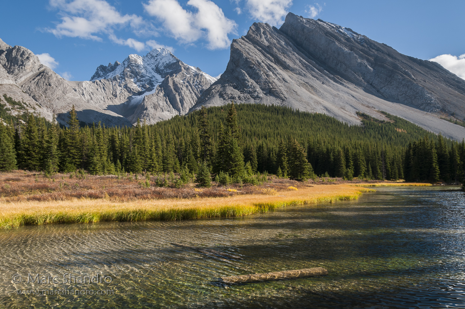
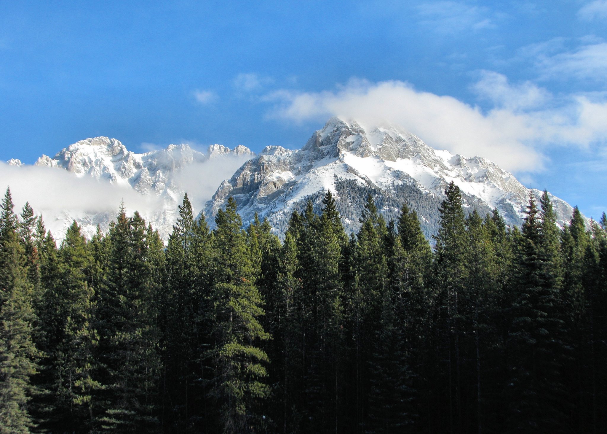
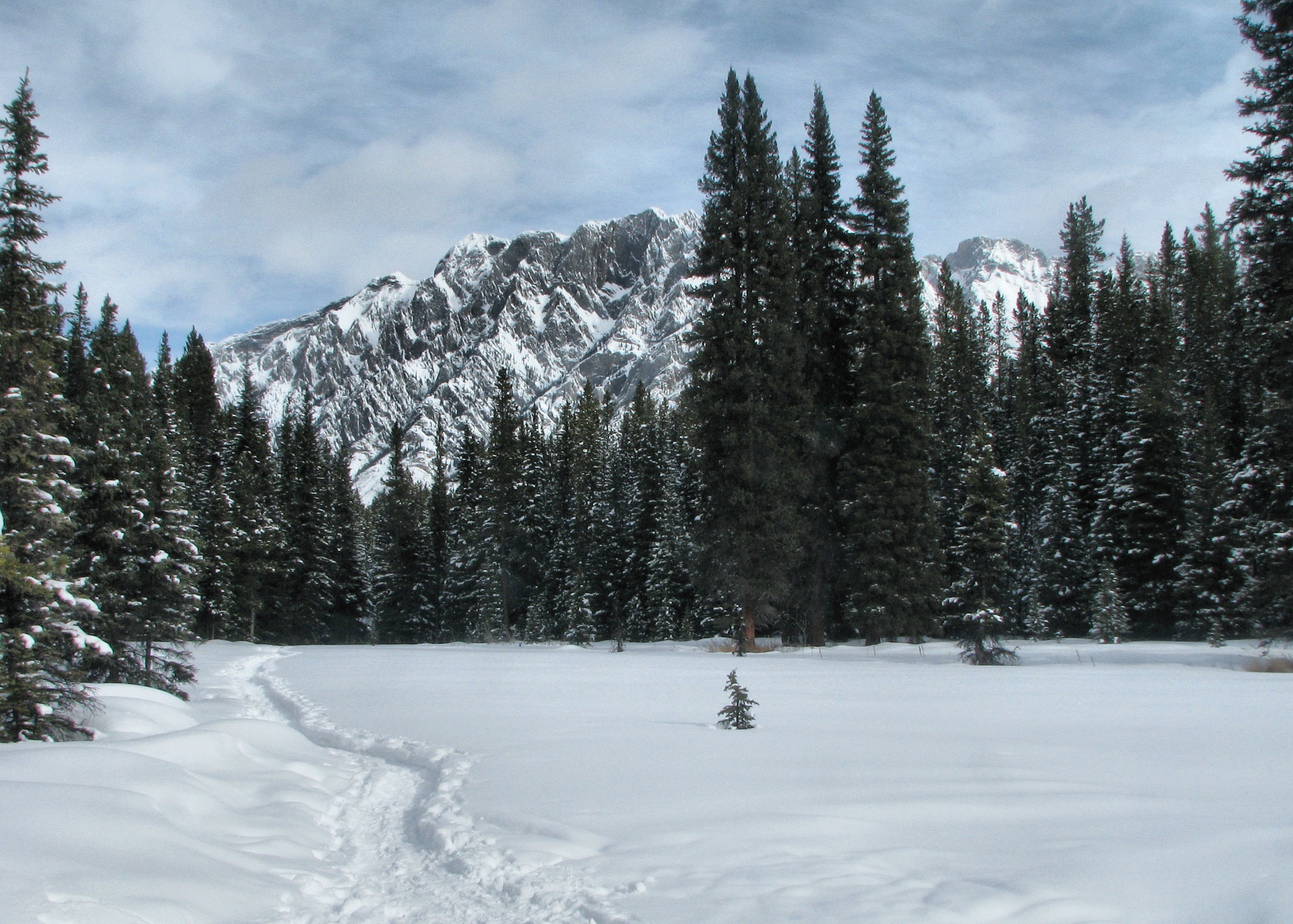
Elbow River Sparkles With Mount Rae Watching - Kananaskis Alberta - Canadian Rockies
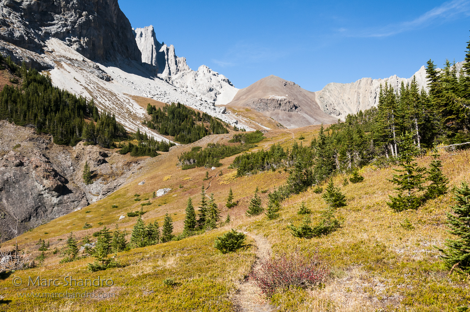
Piper Pass Lies Ahead - Kananaskis Alberta - Canadian Rockies
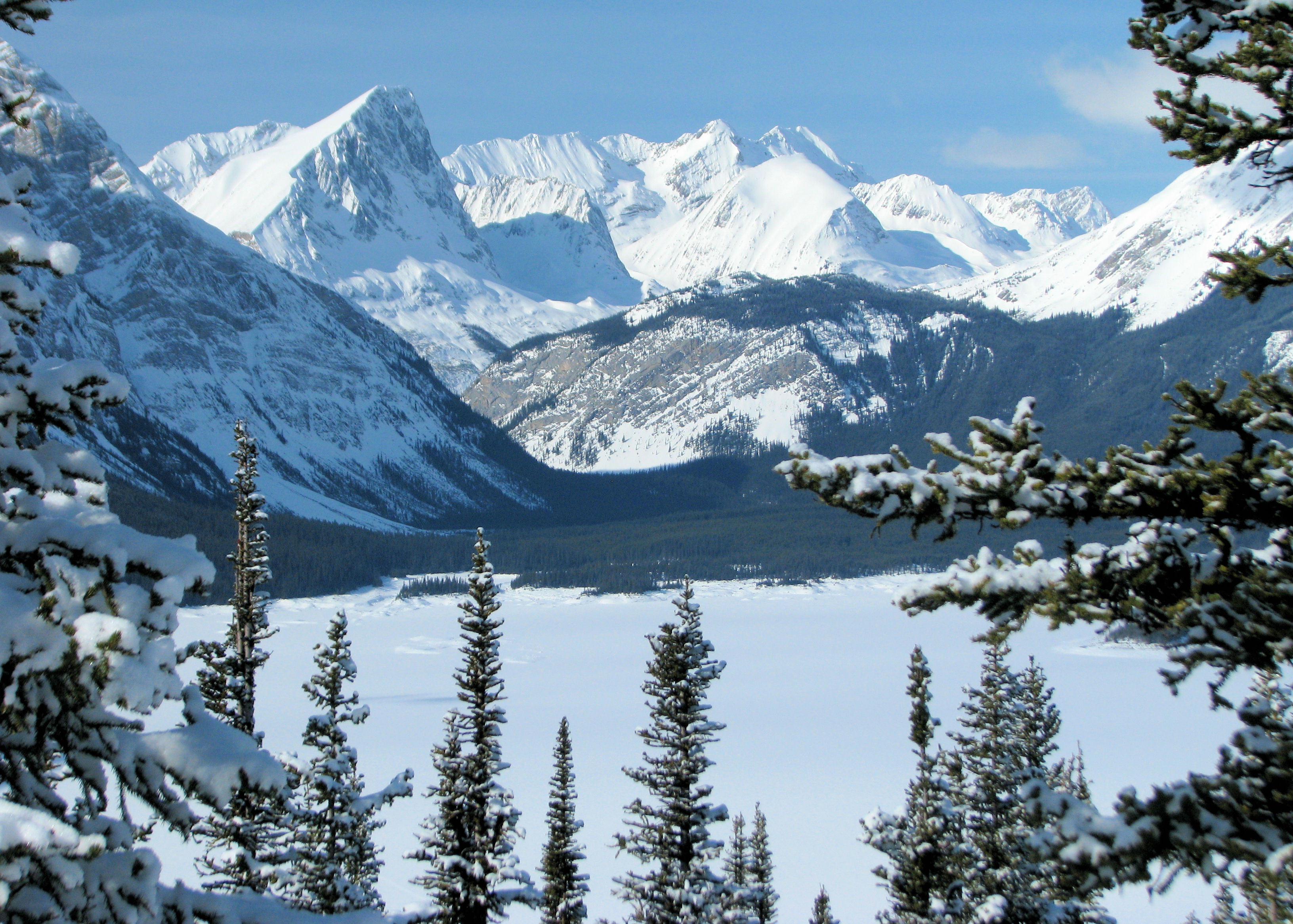
View from Blueberry Hill
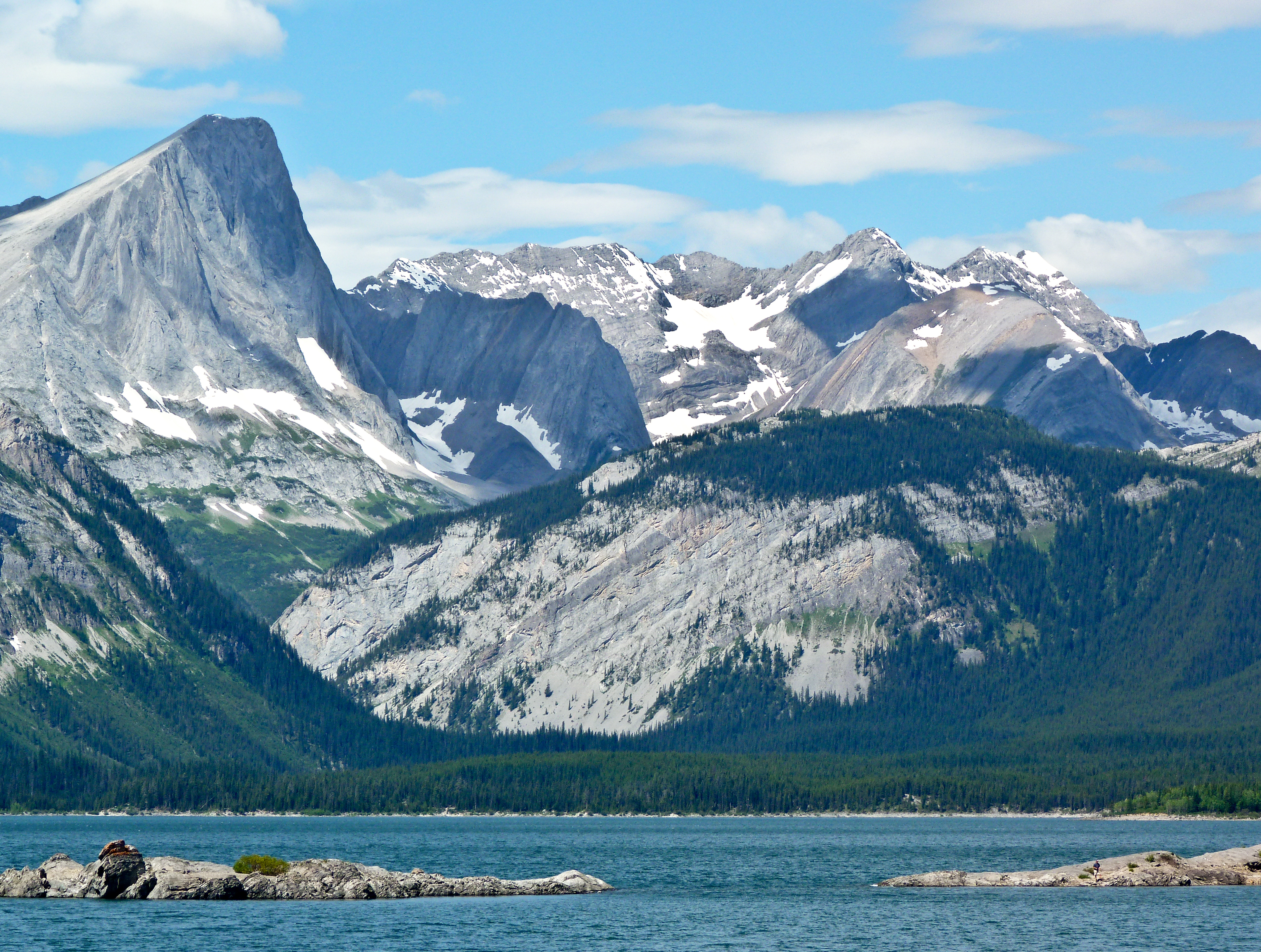
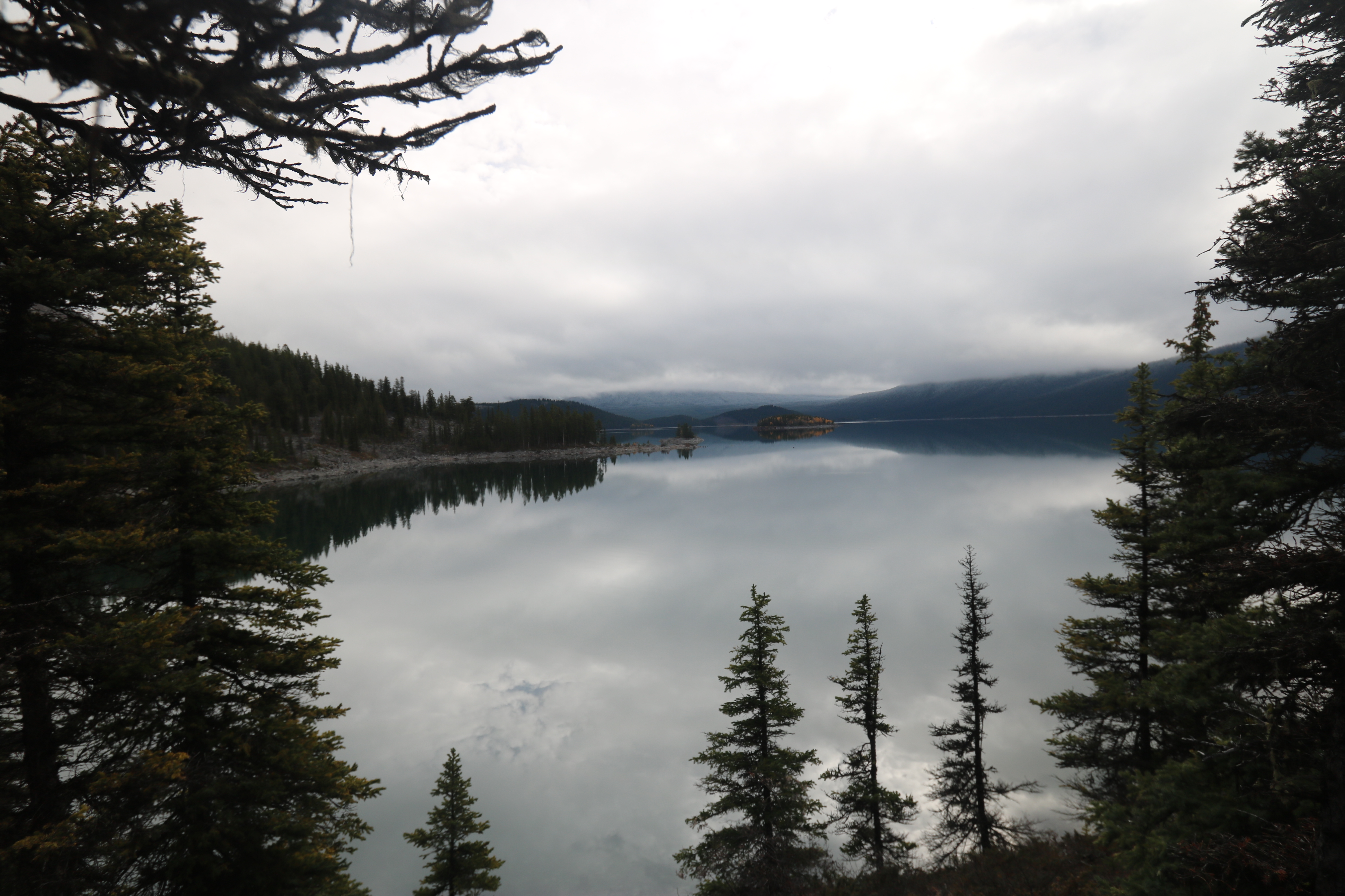
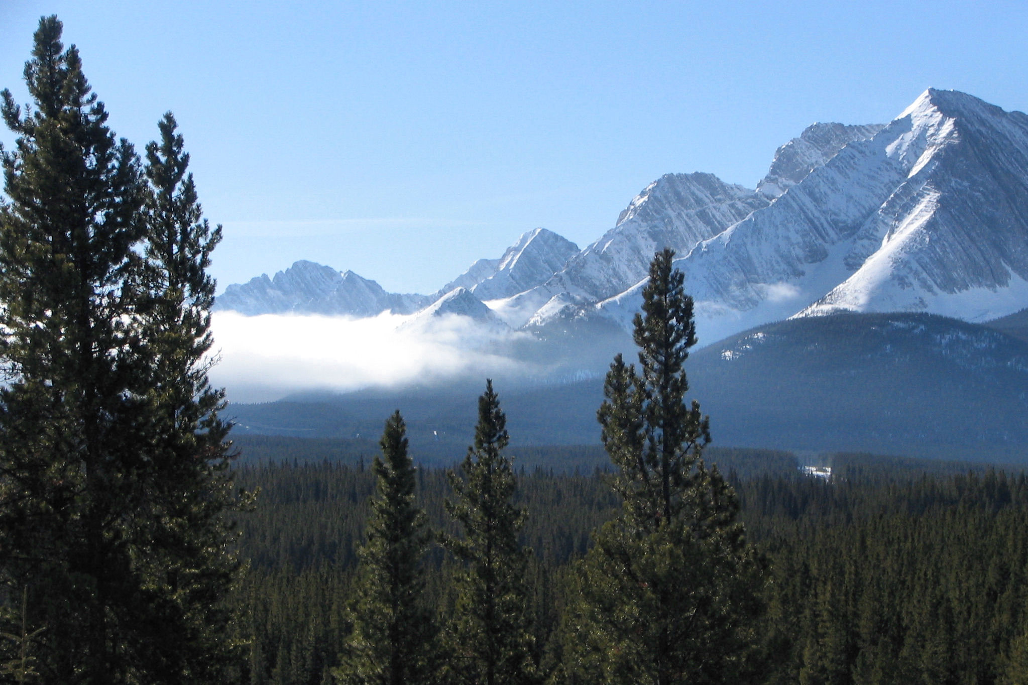
Upper Kananaskis Lake
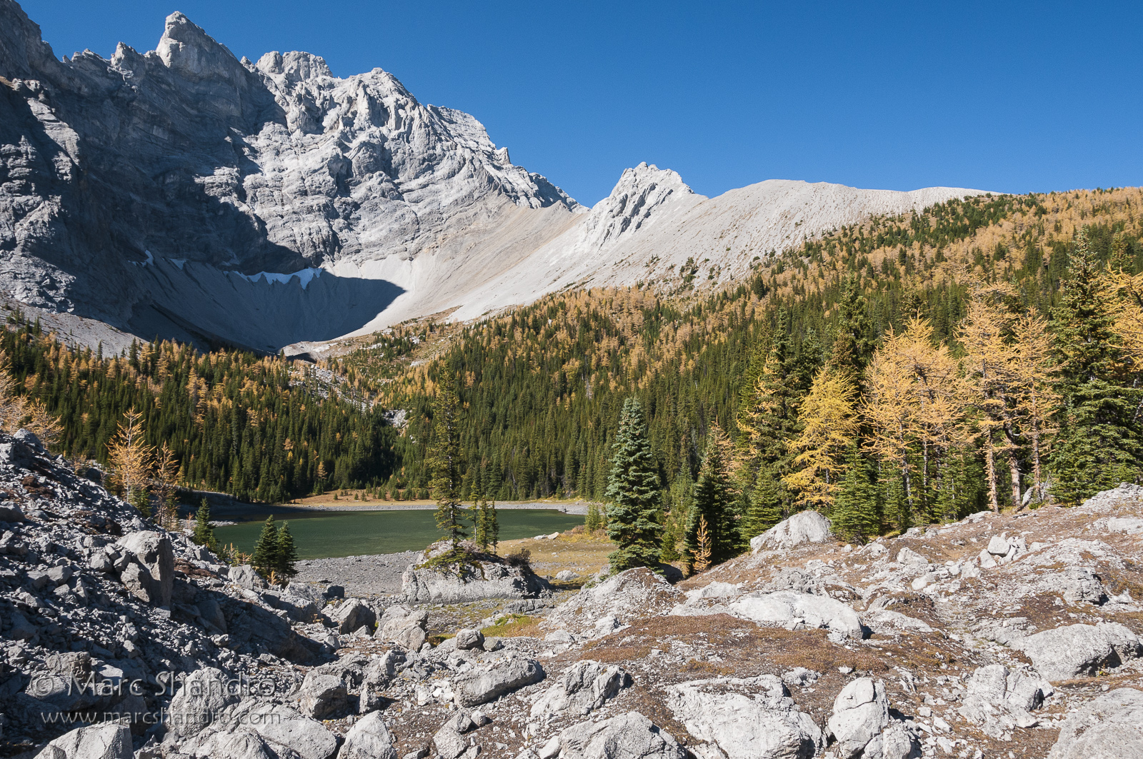
Upper Tombstone Lake - Autumn in Kananaskis Alberta - Canadian Rockies
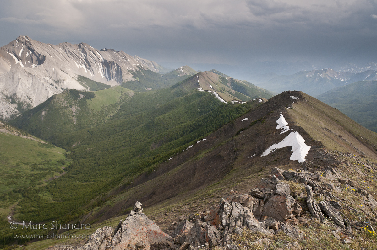
Mist Ridge North Summit
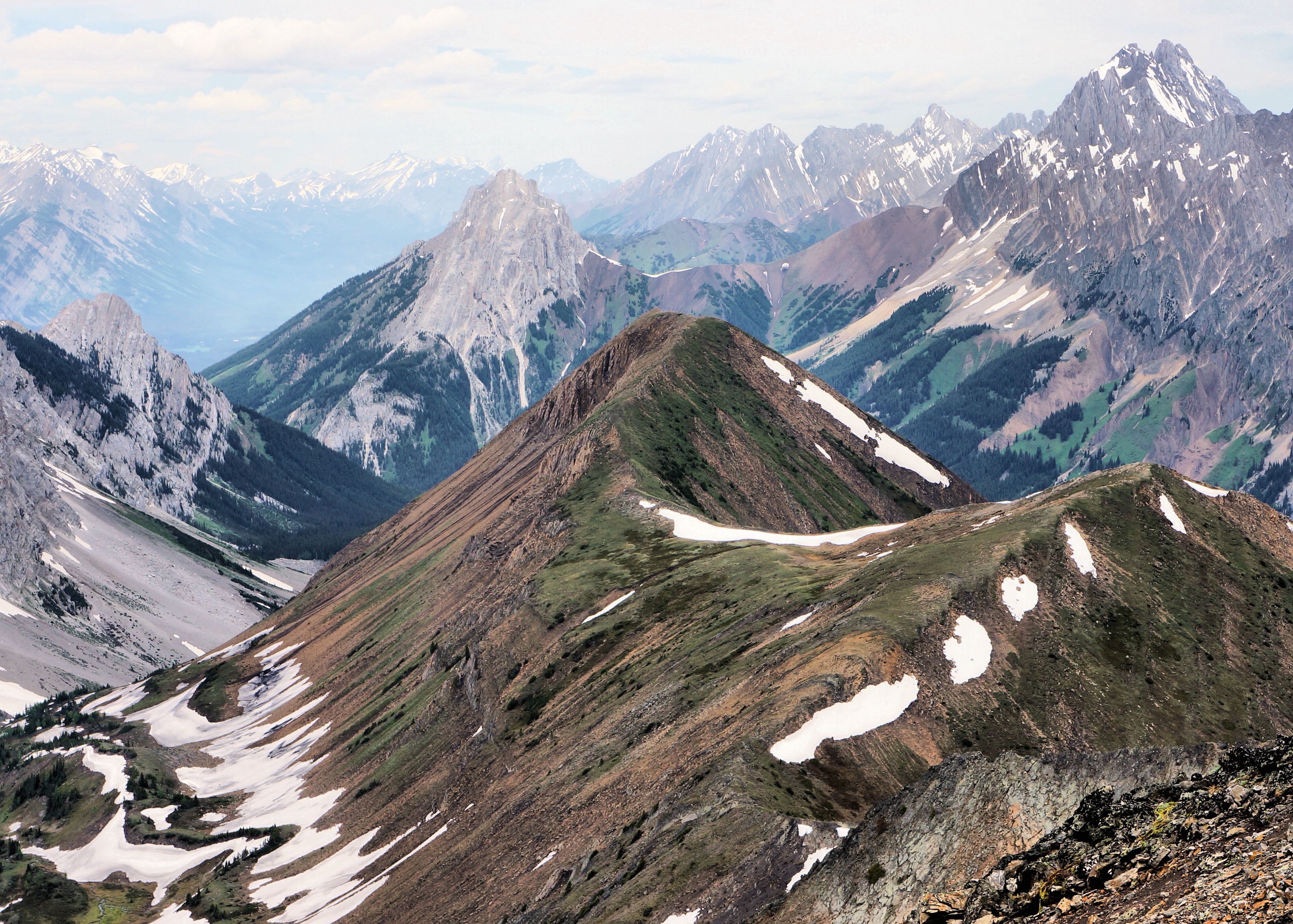
Pocaterra Ridge
Banded Peak and Outlaw From Mt. Cornwall
Backpacking In Kananaskis Country - Canadian Rockies
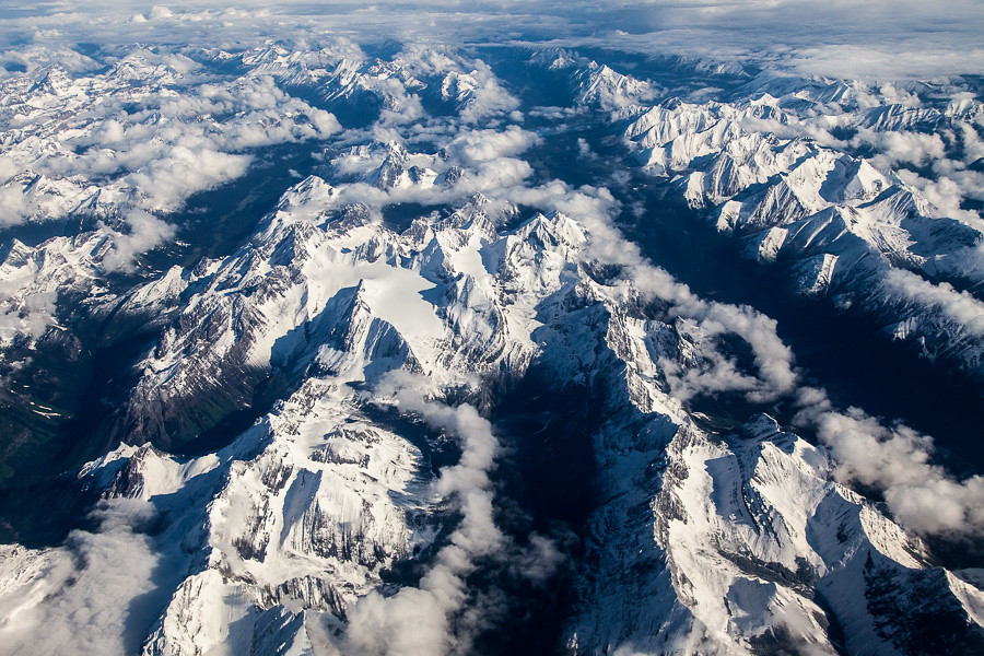
Aerial View of the Kananaskis Range and Spray Valley
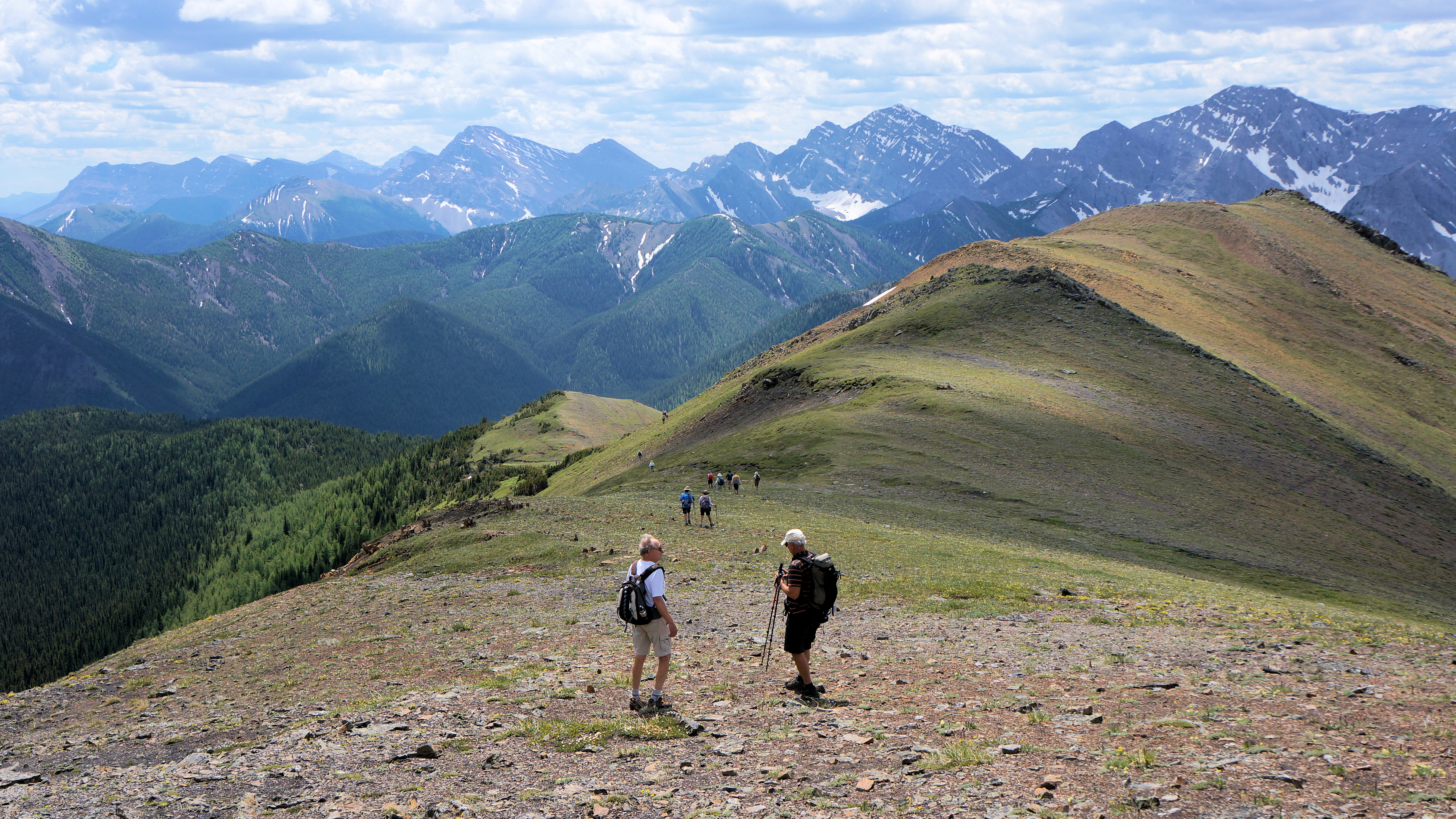
Descent from Mt Lipsett
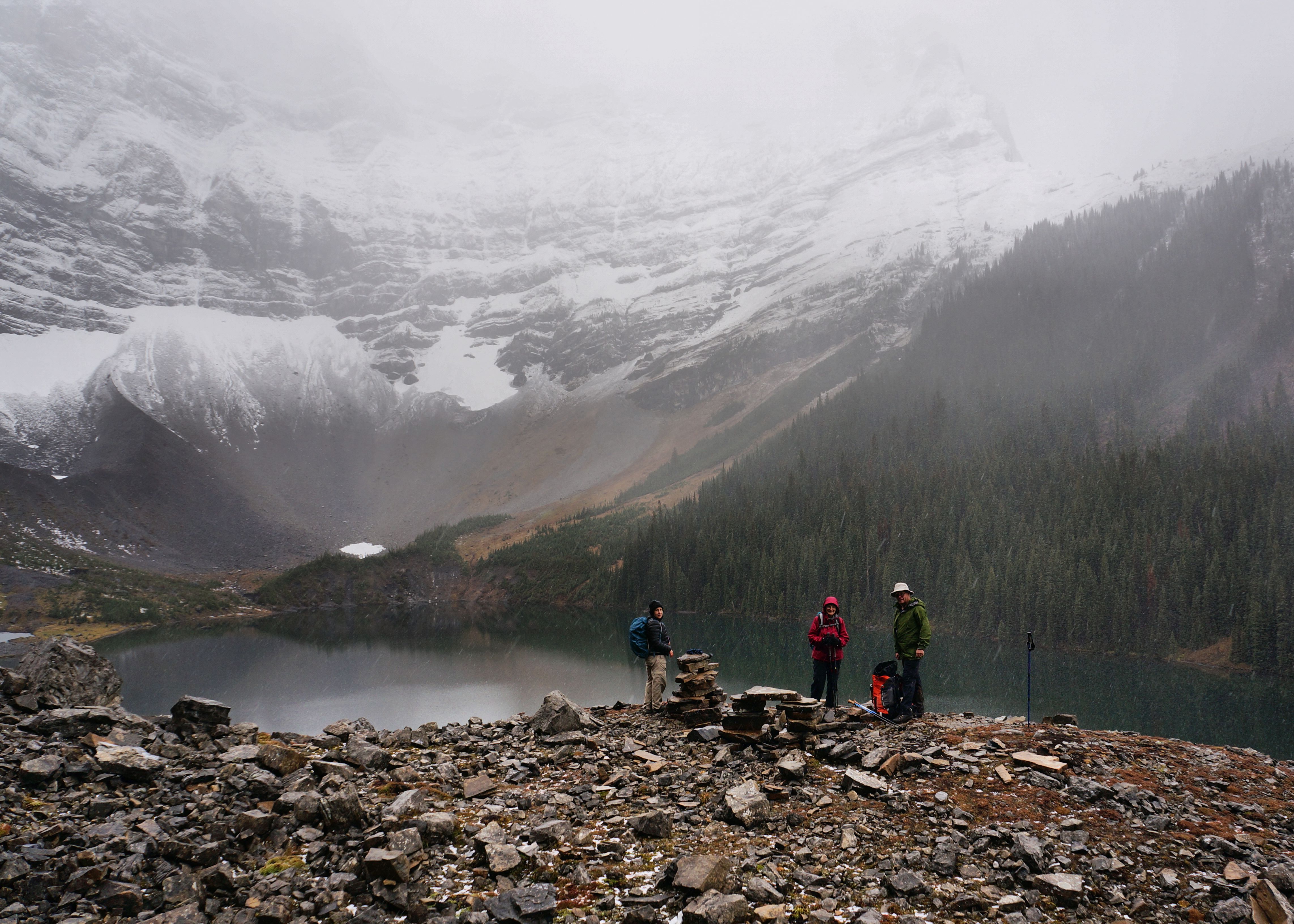
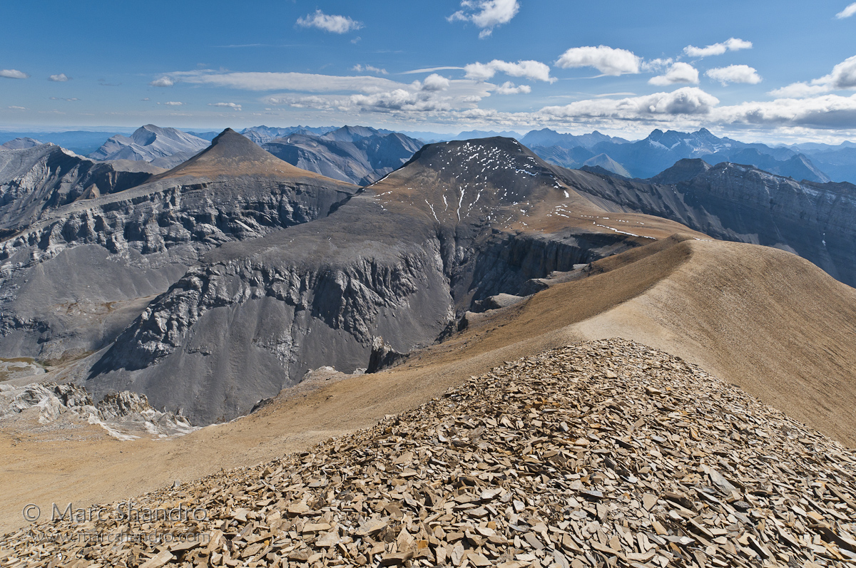
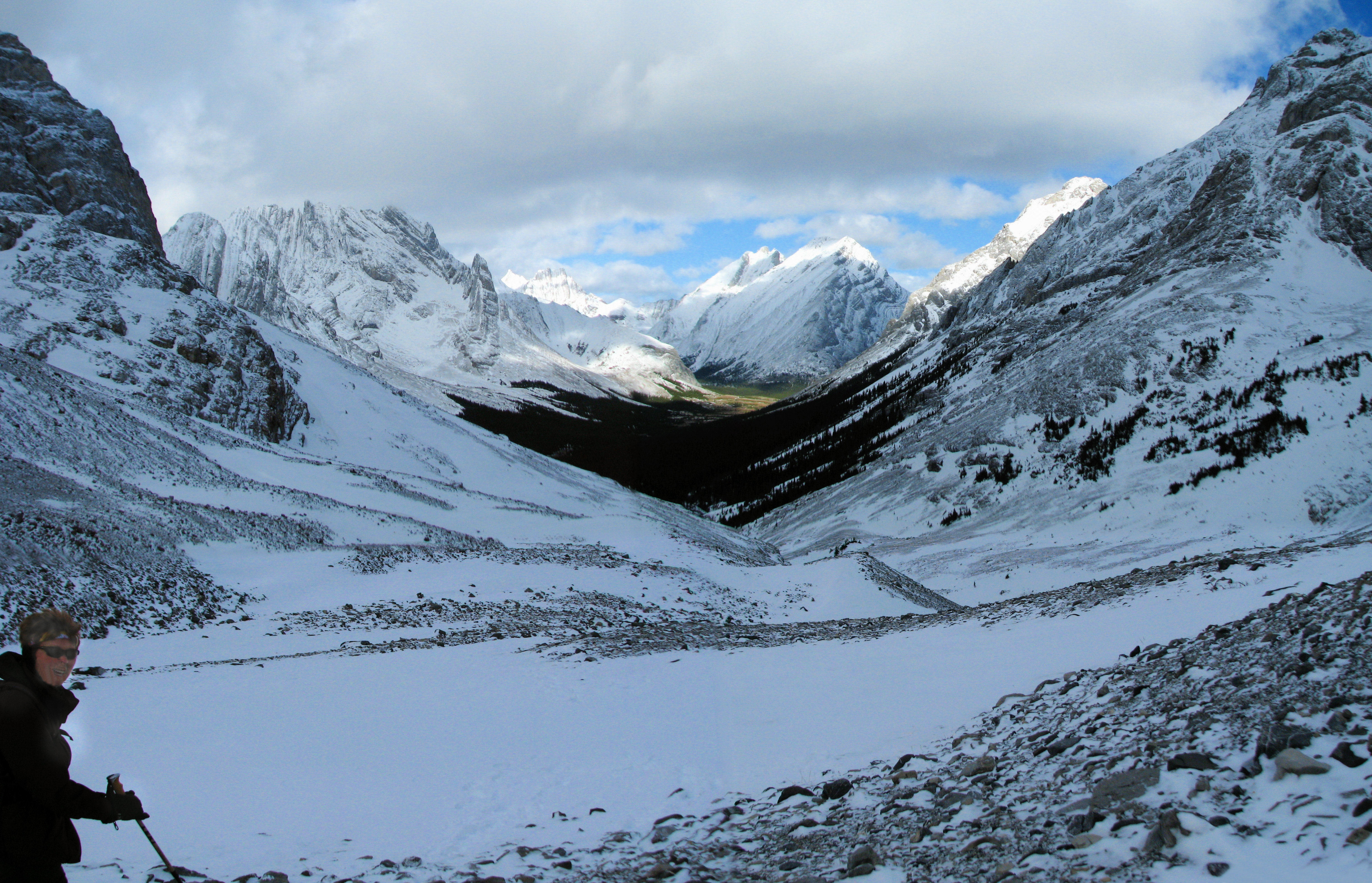
On the rock pile
This view stopped us in our tracks for a few minutes
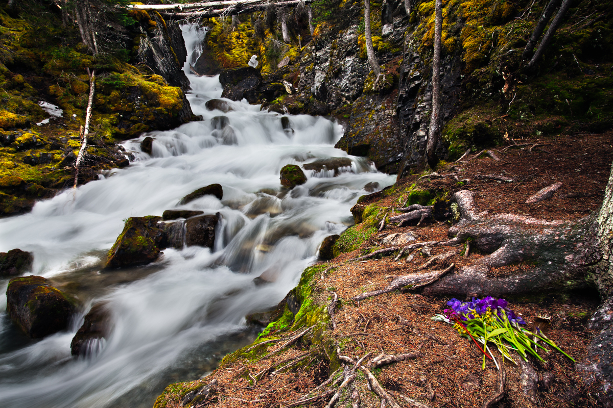
Sarrail falls
The lake hike continues heading round to the half way point.
Clear Sky Ahead
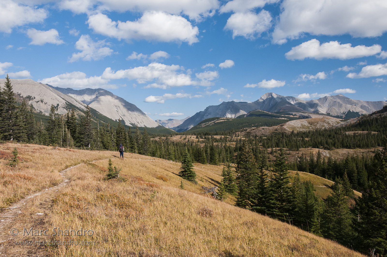
Meadow View
Kananaskis Splendor
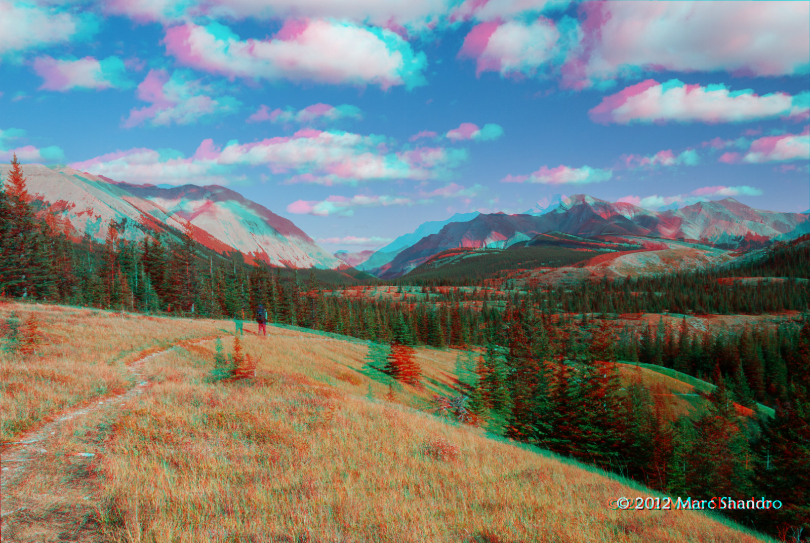
Backpacking In Kananaskis Country - Canadian Rockies - 3D
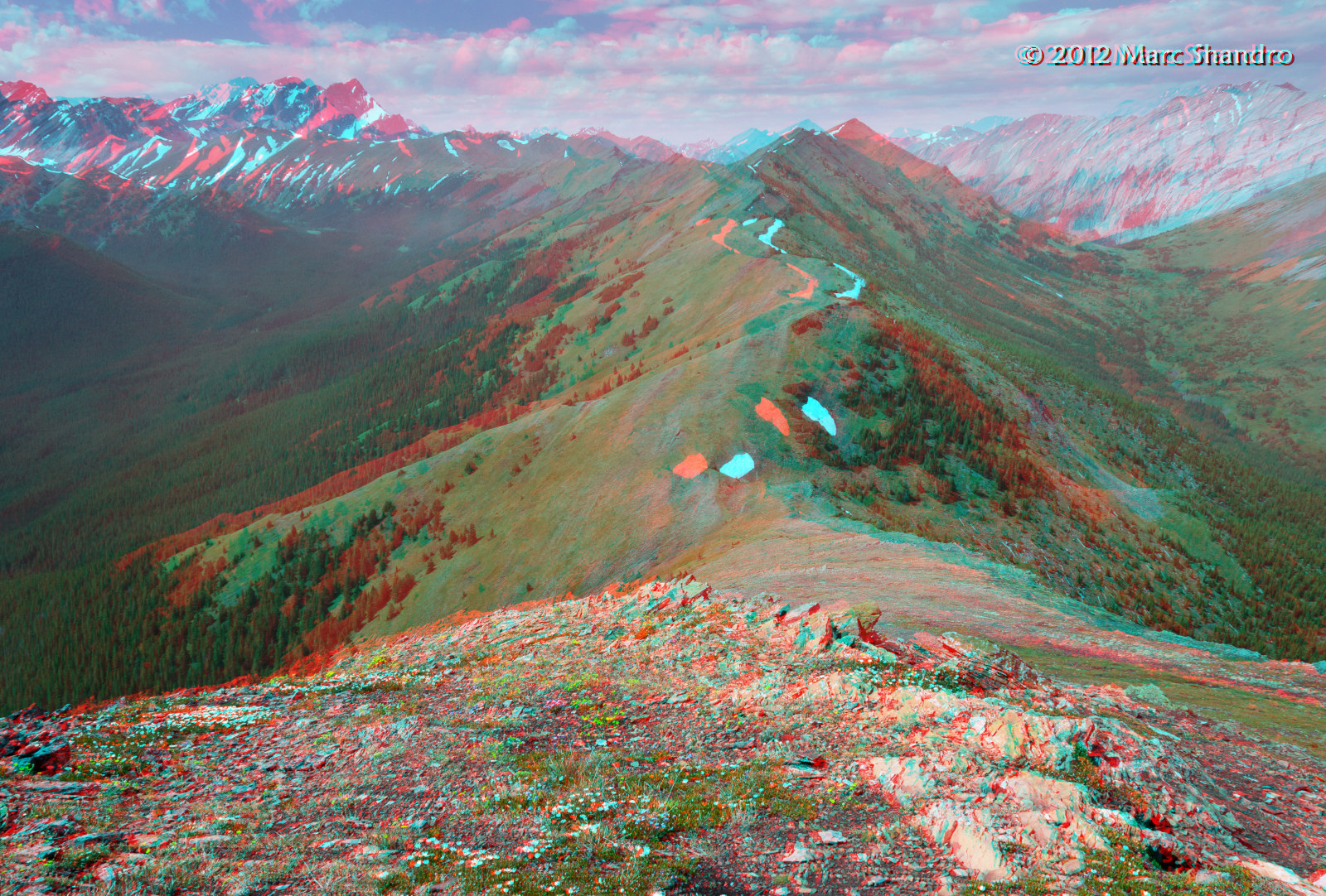
Mist Ridge Ramble - Kananaskis Alberta - 3D
Upper Tombstone Lake - Autumn in Kananaskis Alberta - Canadian Rockies - 3D
Topographic Map of Mount Rae, Kananaskis, AB T0L, Canada
Find elevation by address:

Places near Mount Rae, Kananaskis, AB T0L, Canada:
Mount Arethusa
Highwood Pass
Mount Tyrwhitt
Storm Mountain
Mount Pocaterra
Storelk Mountain
Mount Lipsett
Mist Mountain
Mount Odlum
Mount Loomis
Upper Kananaskis Lake
Mount Bishop
Mount Abruzzi
Mount Mcphail
V0b 1h0
Mount Joffre
Weary Ridge
Muir Sw2
Mount Strachan
Mount Veits
Recent Searches:
- Elevation of Corso Fratelli Cairoli, 35, Macerata MC, Italy
- Elevation of Tallevast Rd, Sarasota, FL, USA
- Elevation of 4th St E, Sonoma, CA, USA
- Elevation of Black Hollow Rd, Pennsdale, PA, USA
- Elevation of Oakland Ave, Williamsport, PA, USA
- Elevation of Pedrógão Grande, Portugal
- Elevation of Klee Dr, Martinsburg, WV, USA
- Elevation of Via Roma, Pieranica CR, Italy
- Elevation of Tavkvetili Mountain, Georgia
- Elevation of Hartfords Bluff Cir, Mt Pleasant, SC, USA