Elevation of Mount Abruzzi, East Kootenay F, BC V0B, Canada
Location: Canada > British Columbia > East Kootenay > Elkford >
Longitude: -115.12
Latitude: 50.4416666
Elevation: 3237m / 10620feet
Barometric Pressure: 68KPa
Elevation Map:
Satellite Map:
Related Photos:

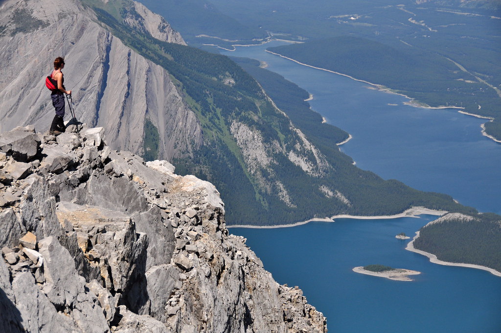
Aerial View of the Canadian Rockies
Summit of Mount Sarrail
Topographic Map of Mount Abruzzi, East Kootenay F, BC V0B, Canada
Find elevation by address:

Places near Mount Abruzzi, East Kootenay F, BC V0B, Canada:
V0b 1h0
Mount Joffre
Storelk Mountain
Mount Odlum
Upper Kananaskis Lake
Mount Pocaterra
Mount Tyrwhitt
Mount Hornickel
Mount Loomis
Highwood Pass
Mount Lipsett
Mount Arethusa
Storm Mountain
Mount Rae
Mist Mountain
Mount Bishop
Weary Ridge
Mount Mcphail
Mount Veits
Muir Sw2
Recent Searches:
- Elevation of Corso Fratelli Cairoli, 35, Macerata MC, Italy
- Elevation of Tallevast Rd, Sarasota, FL, USA
- Elevation of 4th St E, Sonoma, CA, USA
- Elevation of Black Hollow Rd, Pennsdale, PA, USA
- Elevation of Oakland Ave, Williamsport, PA, USA
- Elevation of Pedrógão Grande, Portugal
- Elevation of Klee Dr, Martinsburg, WV, USA
- Elevation of Via Roma, Pieranica CR, Italy
- Elevation of Tavkvetili Mountain, Georgia
- Elevation of Hartfords Bluff Cir, Mt Pleasant, SC, USA