Elevation of Mount Pleasant QLD, Australia

Location: Australia > Queensland > Moreton Bay Regional >

Longitude: 152.765102

Latitude: -27.144814

Elevation: 105m / 344feet

Barometric Pressure: 100KPa

Elevation Map:

elevation map of Mount Pleasant QLD, Australia

Satellite Map:

Satellite map of Mount Pleasant QLD, Australia

Related Photos:

australia daguilarnationalpark mtmee qld queensland somersettrail xanthorrhoea bushwalk grasstree somersetlookout hike
Somerset Lookout
landscape mountmeeqld panorama queensland stitch sunshinecoastqld daguilarrange olympus olympusem10 paulleader green view
View from Mount Mee Qld towards Glasshouse Mountains
australia clouds goldenhour grass landscape mountmee mtmee qld queensland sky tree bootawa ig
Glowing Tree
green grass fence landscape cow scenery notes australia lookout pasture qld queensland glasshousemountains 18135mm mountmee dt18135mmf3556sam
Queensland pasture scenery with Glass House Mountains view with notes (2 photos)
australia mountmee lookout daguilarrangenationalpark daguilar daguilarnationalpark somerset queensland mtmee xanthorrhoea grasstree
Grass-tree with the view (Somerset lookout)
mountmee australia queensland qld daguilar nationalpark lookout pano forest carlzeiss 1680mm somerset
Somerset Lookout (Mount Mee)
mountmee australia queensland qld daguilar nationalpark road drive forest araucaria araucariacunninghamii hoopepine araucariaceae arfp qrfp daguilarnationalpark
Mount Mee forest drive - plantations of Hoop Pine
geotagged view cows australia lookout pasture qld queensland glasshousemountains
Queensland Pasture scenery with Glass House Mountains view.
people nationalpark australia lookout qld queensland daguilar mountmee
Somerset Lookout (Mount Mee)
mountmee australia queensland qld daguilar nationalpark lookout fence carlzeiss carlzeissvariosonnar 1680mm needrepro
View to Brisbane from Mount Mee road
water creek forest nationalpark australia lookout qld queensland daguilar mountmee
Creek behind Bulls Falls lookout
dayboro mtmee mtpleasant queensland sunset flare haze oceanview australia au
Looking out over the Mt Pleasant and Dayboro areas.
jump leap sports wamuran sociallife
Spectators watch Len Embrey jumping during the Sports Day at Wamuran, ca. 1935
australia queensland dayboro kingscrub oceanview mountmee road countryside landscape hinterland clouds hills sky film vintage retro fujifilm fujichrome velvia 100f rvp100f franke heidecke rolleiflex 35f schneiderkreuznach xenotar 75mm 135 e6 slide reversal
633-BJ16/04
panorama canon australia 4wd qld queensland canonef1740mmf4lusm daytrip mtmee somersetdam 10exp somersetlookout pradopoint 5dmkii
The view from Somerset Lookout
bananas queensland agriculture tropicalfruit statelibraryofqueensland fruitfarming slq bananafarming
Banana farmer at Mount Pleasant, Queensland
queensland bullocks statelibraryofqueensland slq
Bullock wagon of Mr Dietz at Samson Vale, ca. 1896
panorama storm wheel clouds four driving view mount mee daybro
Mount Mee
orientalcuckoo cuculussaturatus hepatic horsfieldscuckoo
Hepatic Oriental Cuckoo (Cuculus saturatus)
queensland australia boxingday december 2011 polarizingfilter tanetahi
View down the Samford Valley towards Brisbane from Sellin Road, near the northern section of d'Aguilar National Park
geotagged wings rainforest australia queensland flies swarm geo:tool=gmif mountmeestateforest somersettrail geo:lat=27096879 geo:lon=152700874
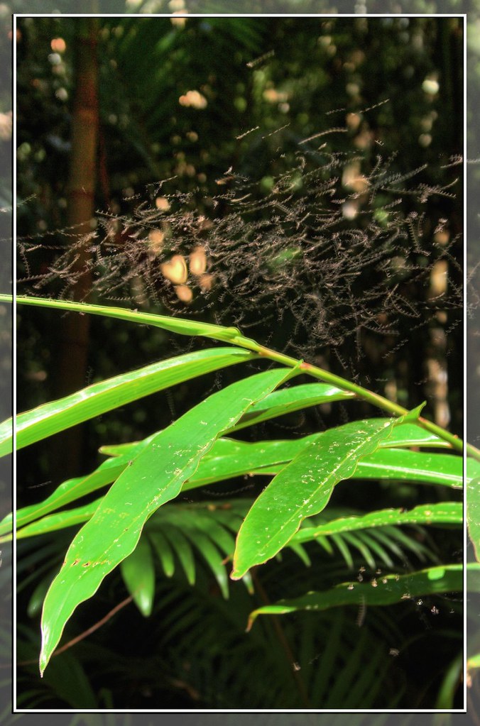
A Little Swarm of Little Flies
australia queensland mountmee tree hills landscape sky canon green clouds
_20A6054 Mount Mee Countryside
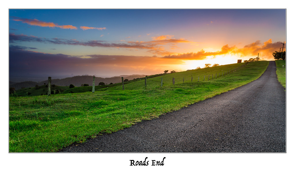
road sun mountains green grass sunshine clouds sunrise canon fence coast hills lee roadside 1740mm sunshinecoast 6d mountmee cloudsstormssunsetssunrises
Roads End
outcrop geotagged interior rocky australia queensland naturesfinest blueribbonwinner instantfave explore38 geo:tool=gmif mountmeestateforest somersettrail geo:lat=27092289 geo:lon=152663569
The Further You Go, The Drier It Gets
goldencirclegrower afternoon farm pineapple
The Pineapple Farm
mountains tree sunrise canon mt hills 1740mm rolling mee 6d cloudsstormssunsetssunrises
Finally Alone
mountmee landscape
rolling hills
tree field sunrise canon fence landscape australia explore queensland frontpage canonef1740mmf4lusm mtmee 5dmkii
Mt Mee Sunrise
australia mountmee lookout panorama pano stitch daguilarrangenationalpark daguilar daguilarnationalpark somerset queensland mtmee viewpoint forest bushwalking
Somerset lookout
australia mountmee lookout fog daguilarrangenationalpark daguilar daguilarnationalpark somerset queensland mtmee 18135mm forest
Somerset lookout, Mount Mee
tree field sunrise canon fence landscape australia queensland canonef1740mmf4lusm goldenhour mtmee 5dmkii
Golden Tree
square squareformat iphoneography instagramapp uploaded:by=instagram
Weather report: theMoretonBayRegion.com fine! #moretonbayregion
road trees grass sunrise canon roadside 1740mm 6d cloudsstormssunsetssunrises
Road to Enlightenment
mountains green sunrise canon farm pano tracks hills lee dairy glasshouse 1740mm 6d cloudsstormssunsetssunrises
Tracking Glasshouse
geotagged australia queensland hdr orton dayboro flickrsbest abigfave daguilarmountains geo:tool=gmif goldenphotographer mountmeestateforest quiteannoyingwithadogpullingatmyarm geo:lat=27096559 geo:lon=152701657
Arms Outstretched
tree field sunrise canon fence landscape dawn rainbow australia queensland canonef1740mmf4lusm mtmee 5dmkii
Mt Mee Rainbow
mtmee queensland sunset tree cows field rakinglight mountmee australia au autopano pro
The Dawn Tree
omd mtmee 4wd adventure 4x4 olympus em1 bush laceyscreek queensland australia au
Mt Mee Drive Day-5062312.jpg
square squareformat lark iphoneography instagramapp uploaded:by=instagram
TheMoretonBayRegion.com #moretonbayregion VisitCaboolture.com #Caboolture