Elevation of Mount Mee Road, Mount Mee Rd, Ocean View QLD, Australia
Location: Australia > Queensland > Moreton Bay Regional > Ocean View >
Longitude: 152.793838
Latitude: -27.122803
Elevation: 456m / 1496feet
Barometric Pressure: 96KPa
Elevation Map:
Satellite Map:
Related Photos:
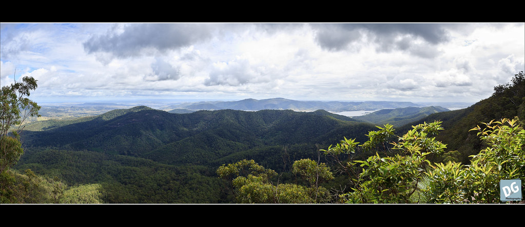
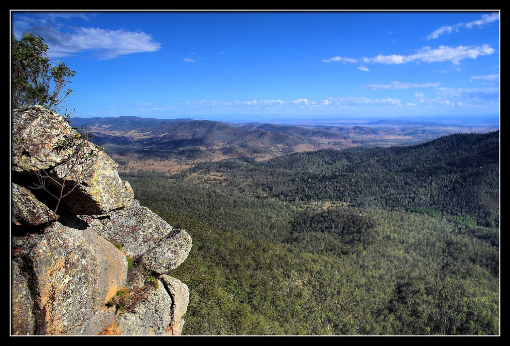
The view from Somerset Lookout
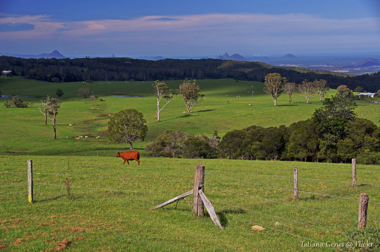
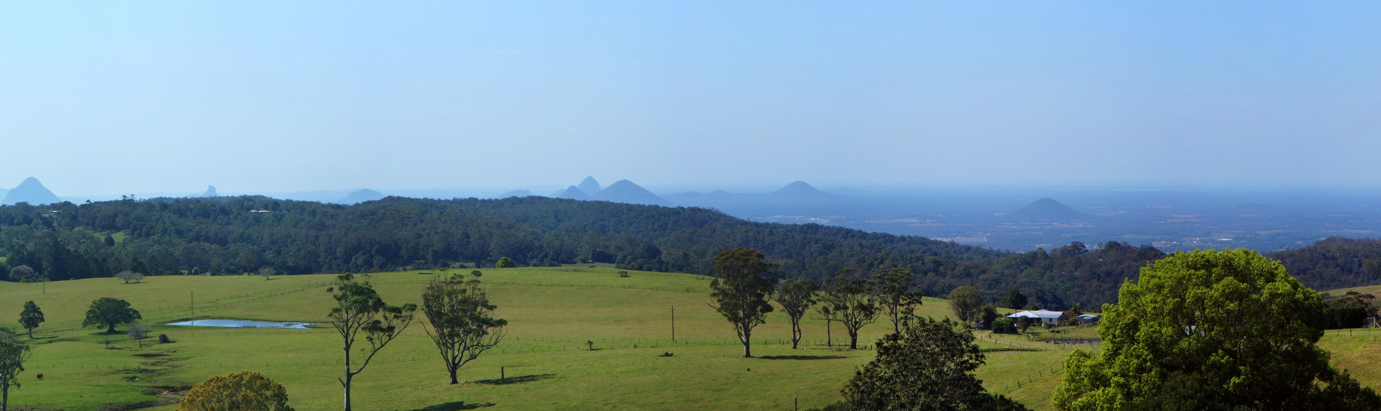
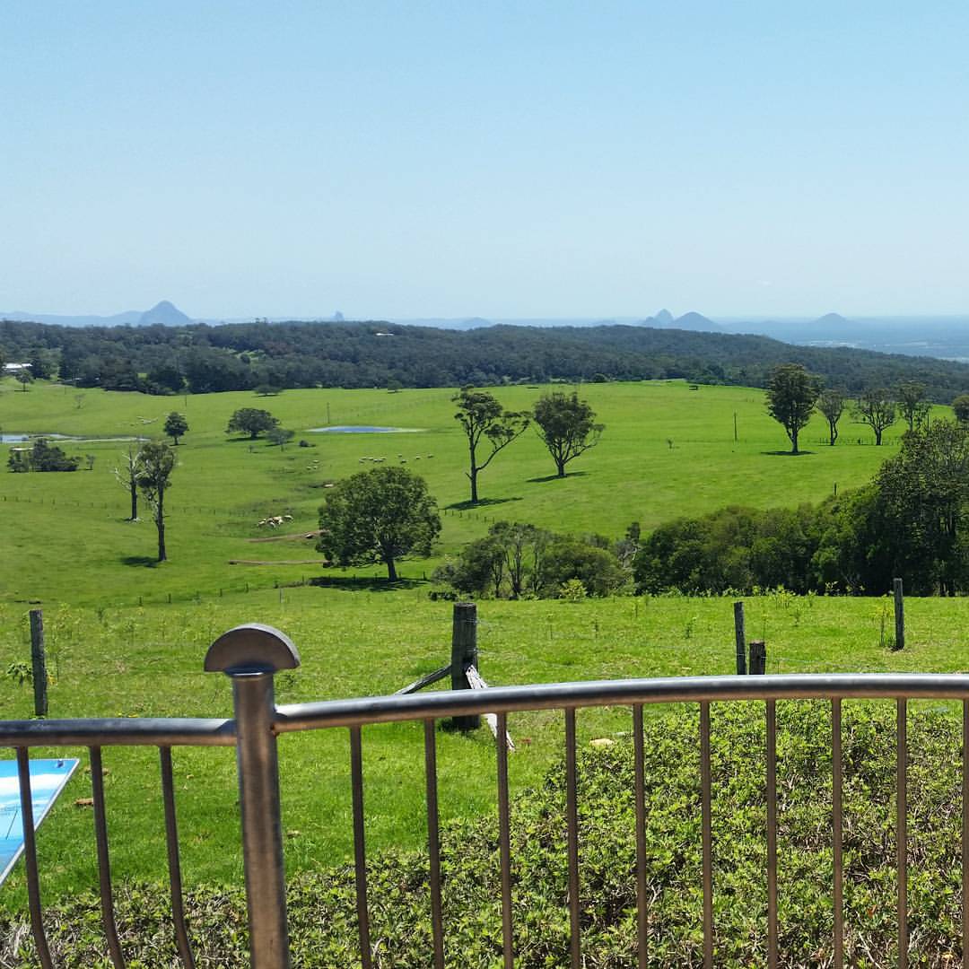
Queensland pasture scenery with Glass House Mountains view with notes (2 photos)
Somerset Lookout (Mount Mee)
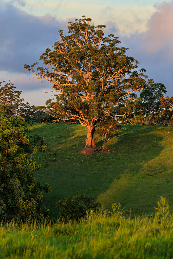
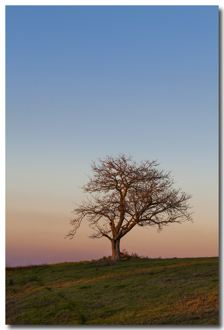
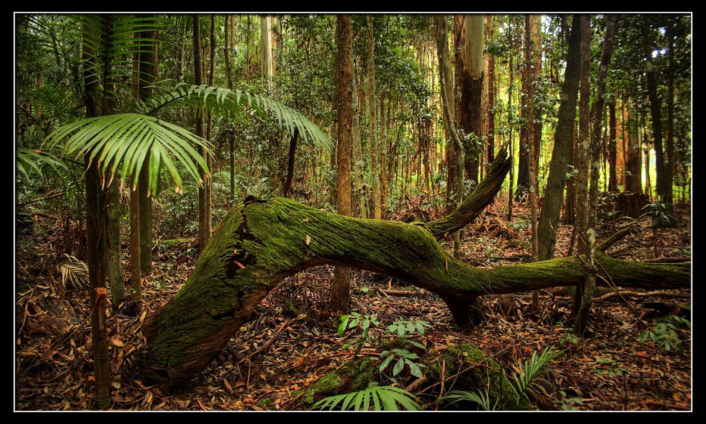
Glowing Tree
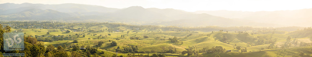
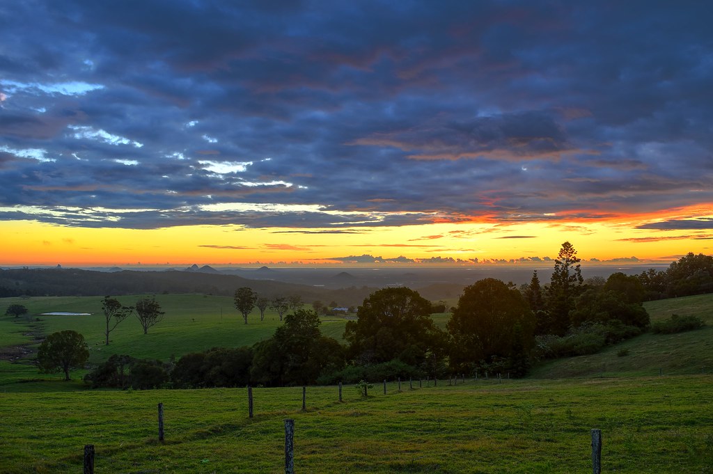
Queensland Pasture scenery with Glass House Mountains view.

View down the Samford Valley towards Brisbane from Sellin Road, near the northern section of d'Aguilar National Park
Abstract Suzuki Vstrom 650
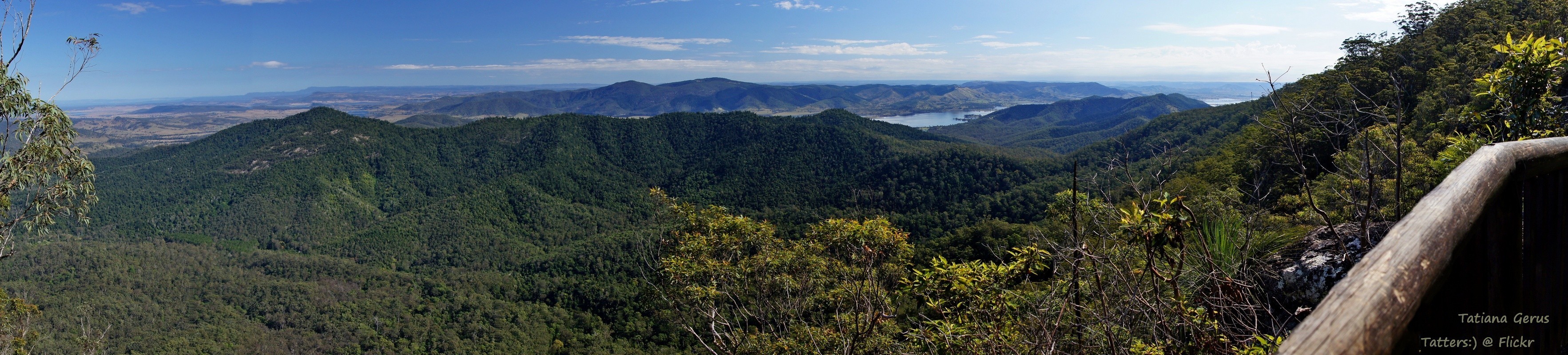
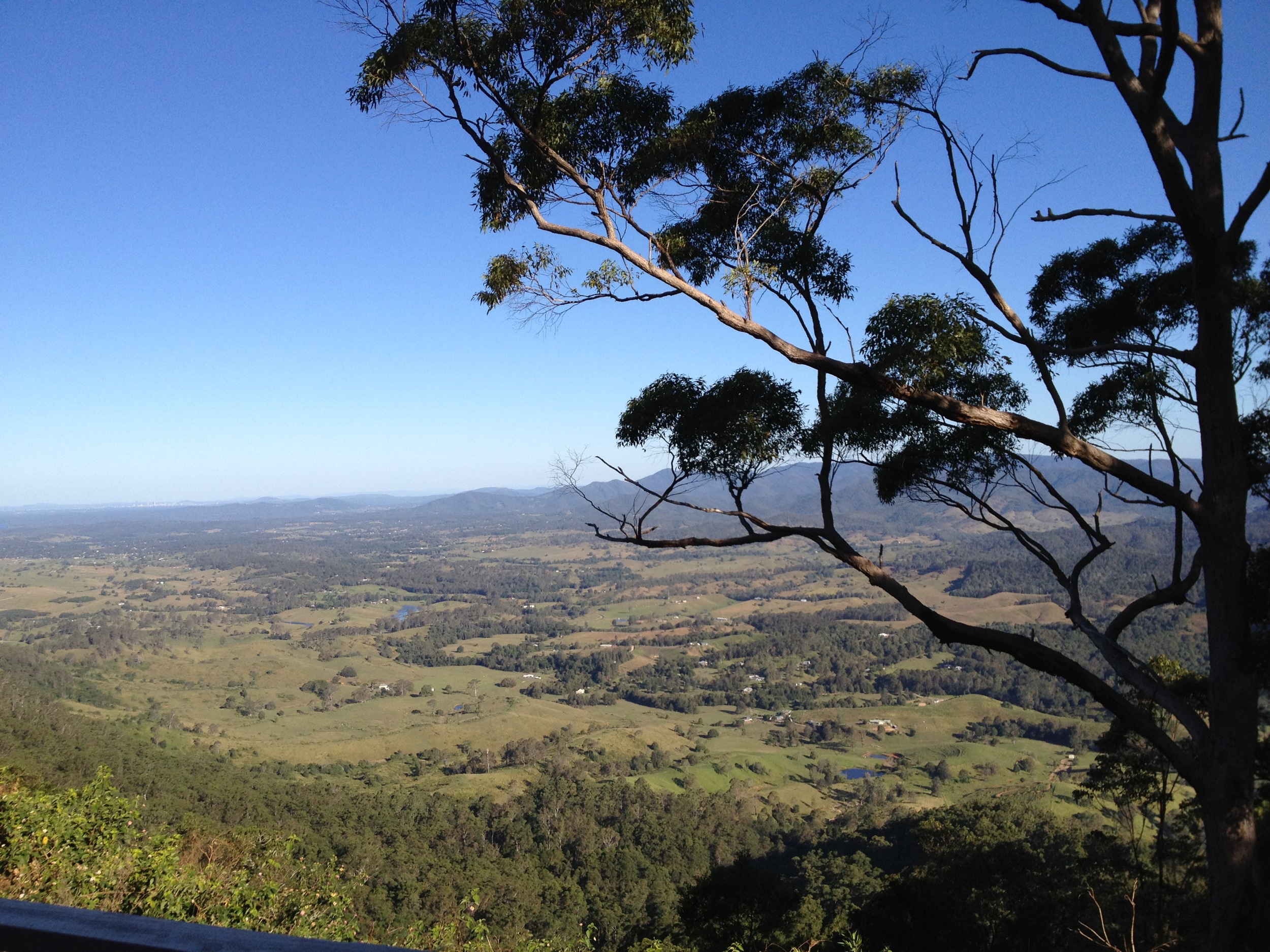
View to Brisbane from Mount Mee road
Nannophlebia risi female wings
Creek behind Bulls Falls lookout
Banana farmer at Mount Pleasant, Queensland
Let There Be Rain
Mount Mee
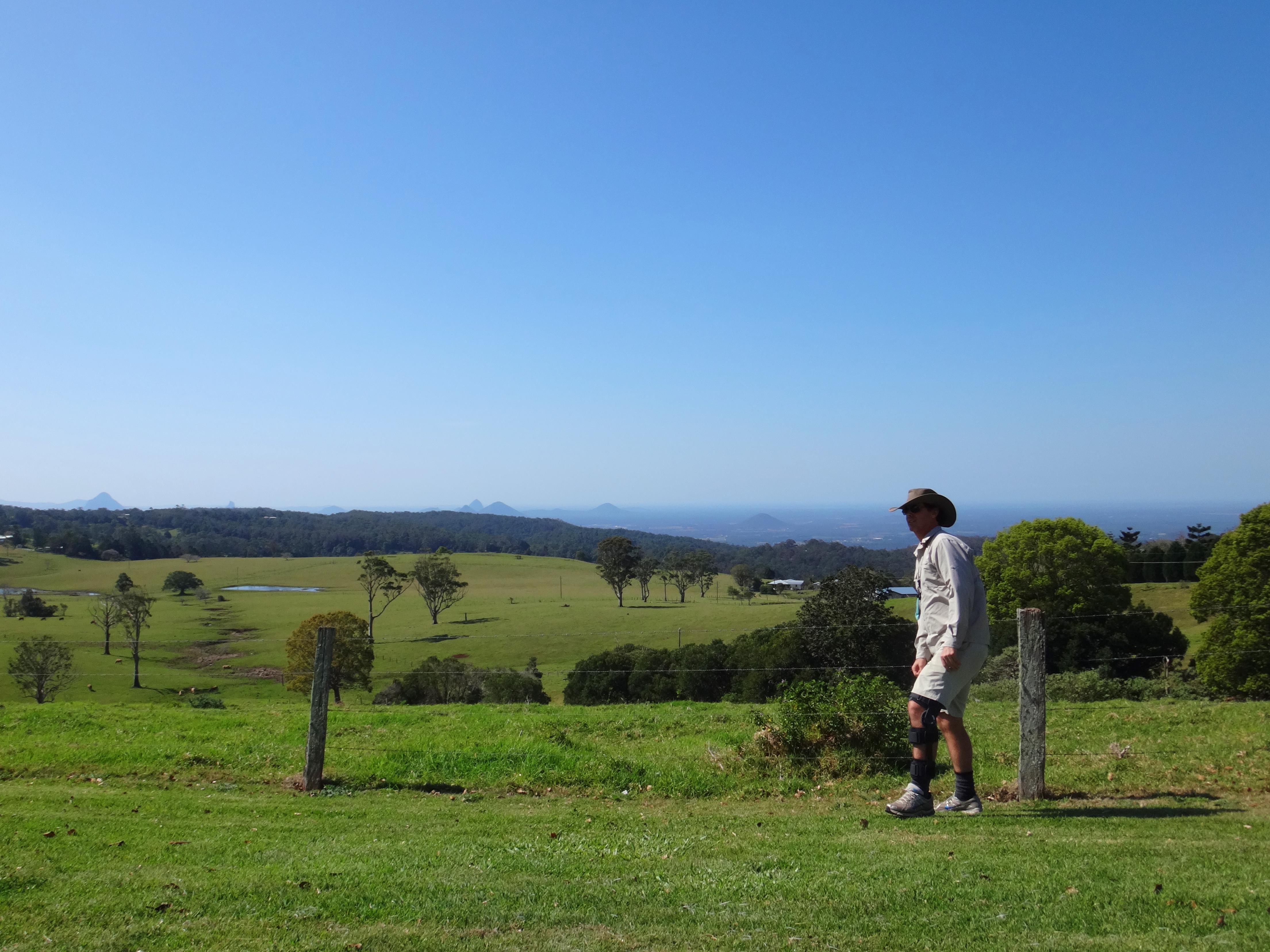
Looking out over the Mt Pleasant and Dayboro areas.
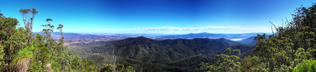
Somerset Lookout Panorama
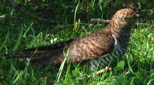
Hepatic Oriental Cuckoo (Cuculus saturatus)
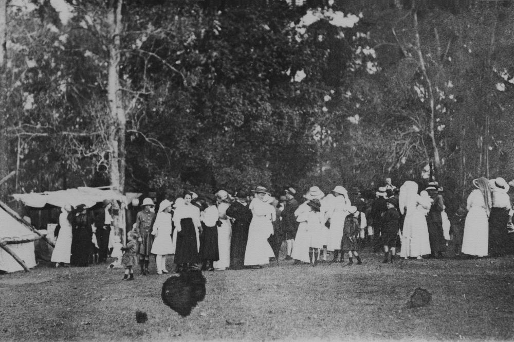
Group at outdoor celebration
View from Pit Stop Cafe near Dayboro
Mt Mee Lookout
Mt Mee Lookout

Somerset Lookout
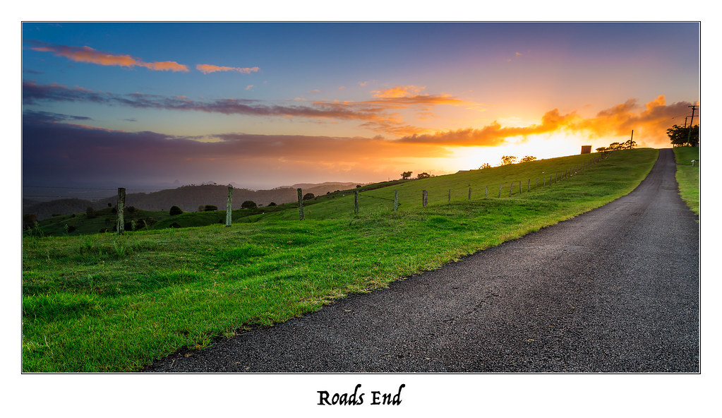
Roads End
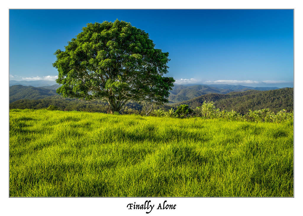
Finally Alone

Mt Mee Sunrise
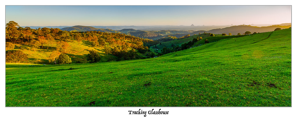
Tracking Glasshouse
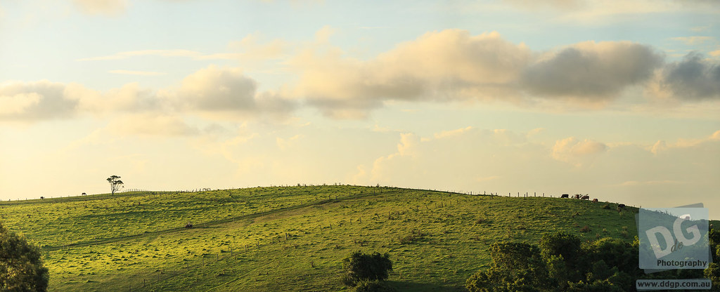
Golden Tree
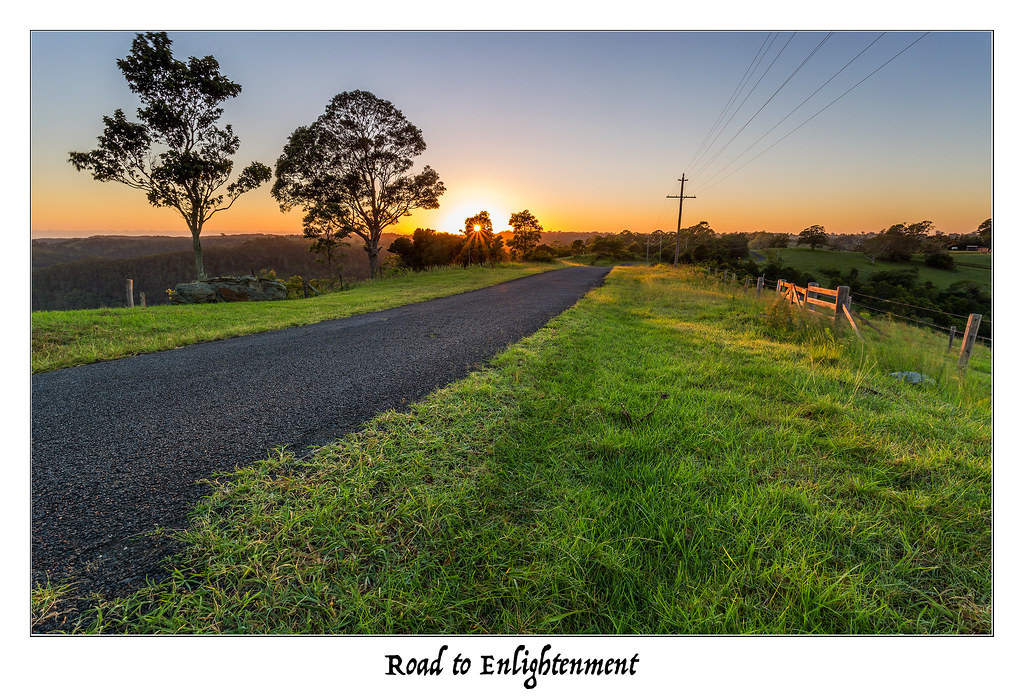
Road to Enlightenment
The Further You Go, The Drier It Gets
Rainbow Tree
Sunrise from Mount Mee
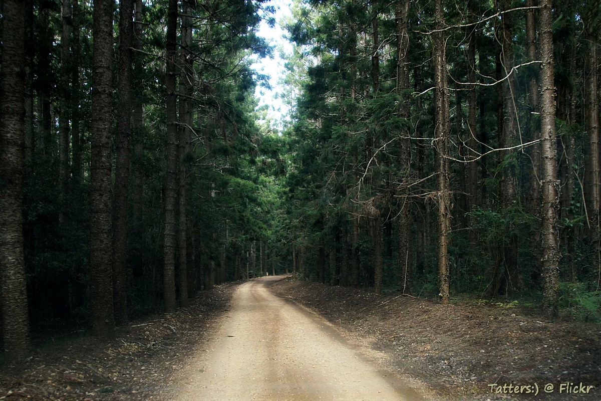
Mount Mee forest drive - plantations of Hoop Pine
Arms Outstretched
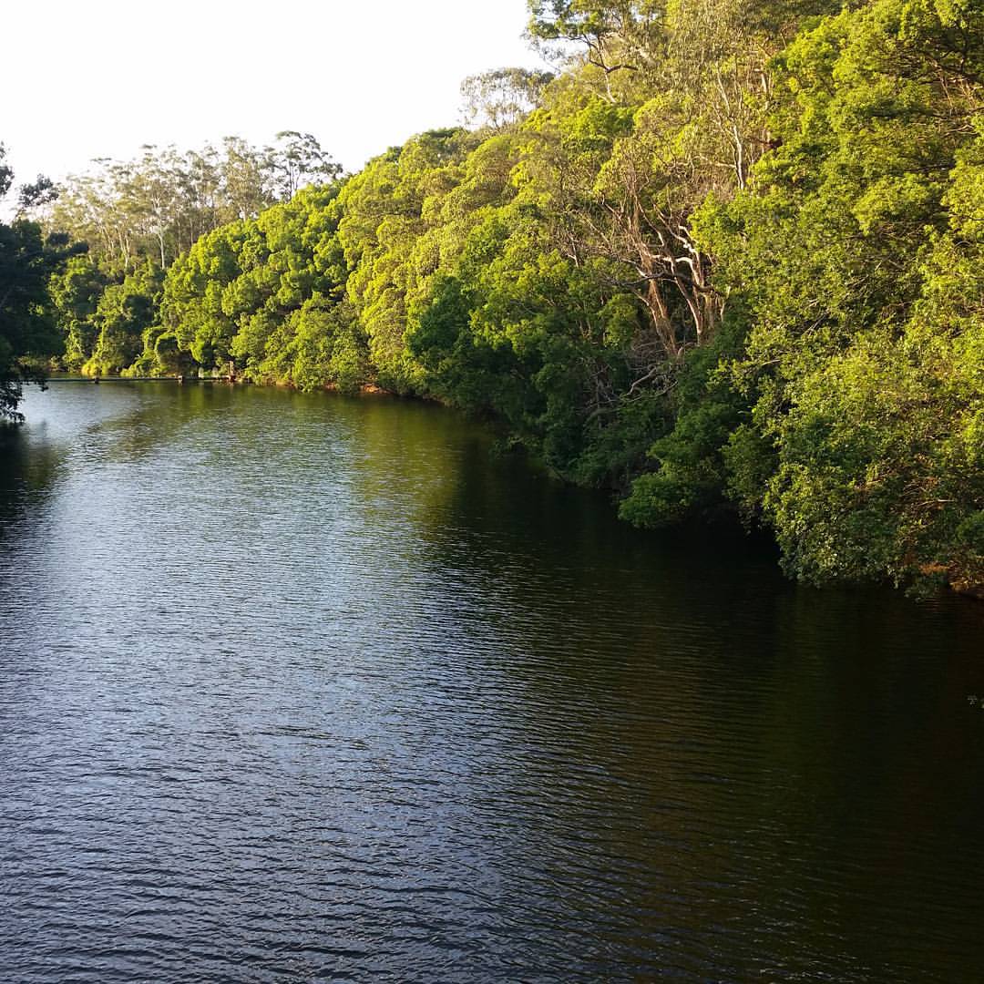
I wasn't going to post this, but it does make me happy seeing the river looking healthy.
Weather report: theMoretonBayRegion.com fine! #moretonbayregion
The Dawn Tree
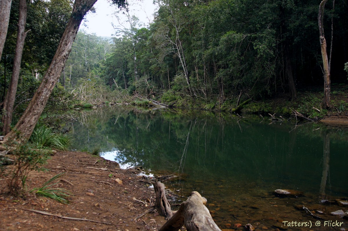
Water hole near Broadwater picnic area, Mount Mee forest in D'Aguilar National Park

Mt Mee Drive Day-5062312.jpg
Topographic Map of Mount Mee Road, Mount Mee Rd, Ocean View QLD, Australia
Find elevation by address:

Places near Mount Mee Road, Mount Mee Rd, Ocean View QLD, Australia:
Mount Mee Road
Ocean View
417 Ocean View Rd
Mount Pleasant
Stonybrook
Mount Mee
D'aguilar Range
Pedwell Road
16 Depina Dr
2-24 Morley Ln
Bracalba
Moreton Bay Regional
Bracalba Quarry
Redgum Drive
2 Henschke Ct
Samsonvale
31 Glorious Dr
123 Ladies Rd
6-8 Railway Parade
Mount Samson Road
Recent Searches:
- Elevation of Corso Fratelli Cairoli, 35, Macerata MC, Italy
- Elevation of Tallevast Rd, Sarasota, FL, USA
- Elevation of 4th St E, Sonoma, CA, USA
- Elevation of Black Hollow Rd, Pennsdale, PA, USA
- Elevation of Oakland Ave, Williamsport, PA, USA
- Elevation of Pedrógão Grande, Portugal
- Elevation of Klee Dr, Martinsburg, WV, USA
- Elevation of Via Roma, Pieranica CR, Italy
- Elevation of Tavkvetili Mountain, Georgia
- Elevation of Hartfords Bluff Cir, Mt Pleasant, SC, USA