Elevation of Mount Penrose, Mt Penrose, Montana, USA
Location: United States > Montana > Flathead County > Essex >
Longitude: -113.83733
Latitude: 48.4094099
Elevation: 2146m / 7041feet
Barometric Pressure: 78KPa
Elevation Map:
Satellite Map:
Related Photos:

Good's Curve
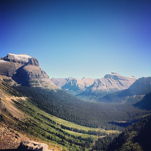
Incredible views at Glacier National Park! Taken from the Going-to-the-Sun Highway. That road is out of this world!

Emery Creek
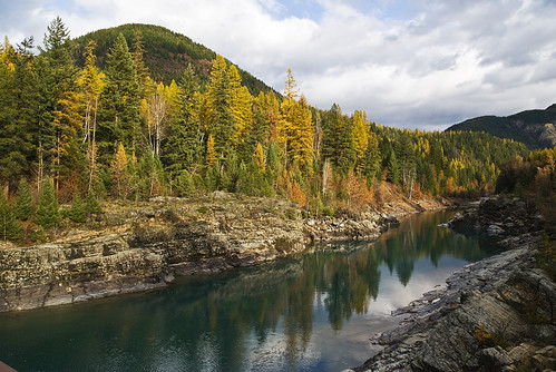
Larch along the Middle Fork of the Flathead
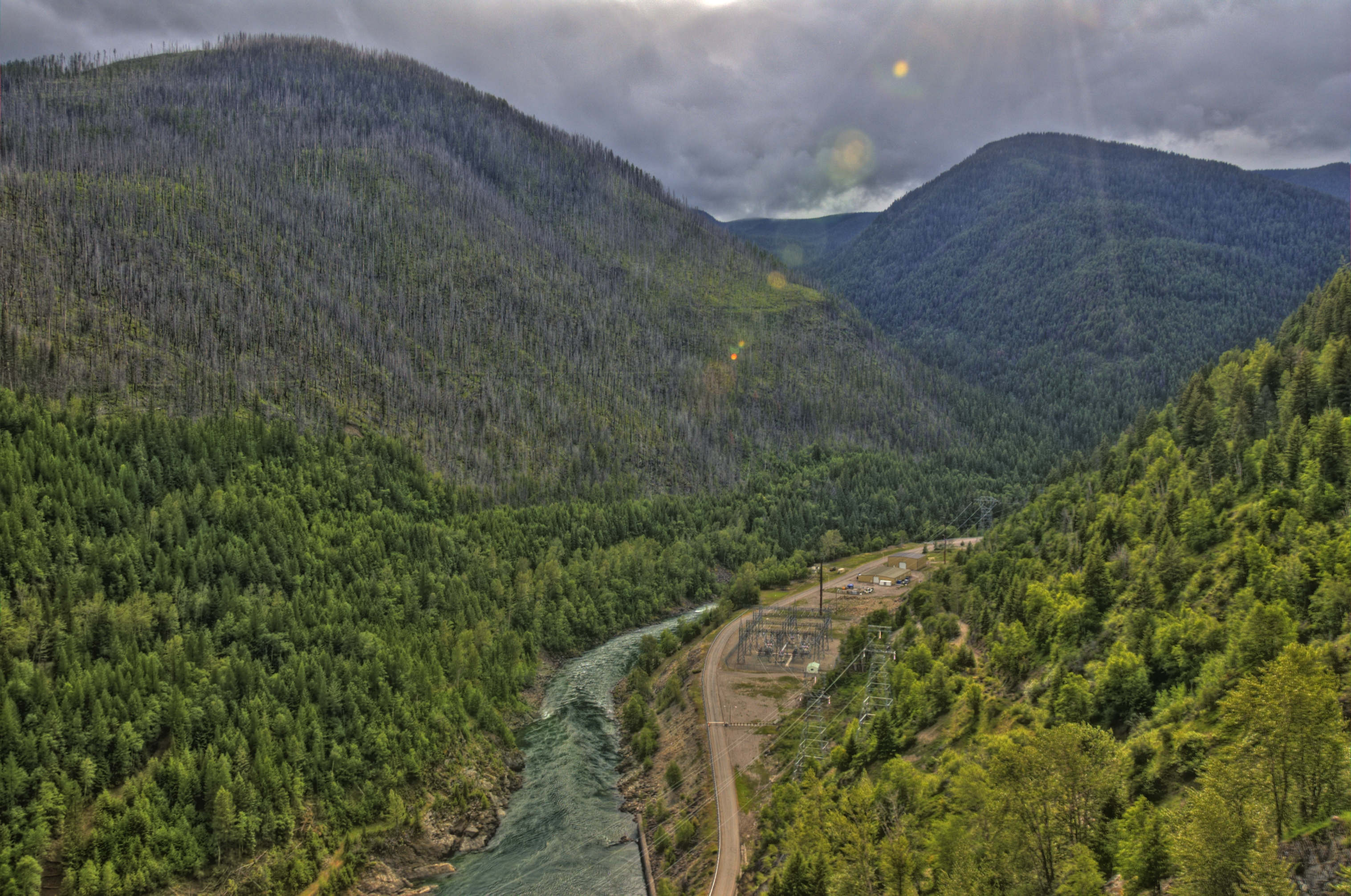
hungry horse dam 1
The View from the Belton
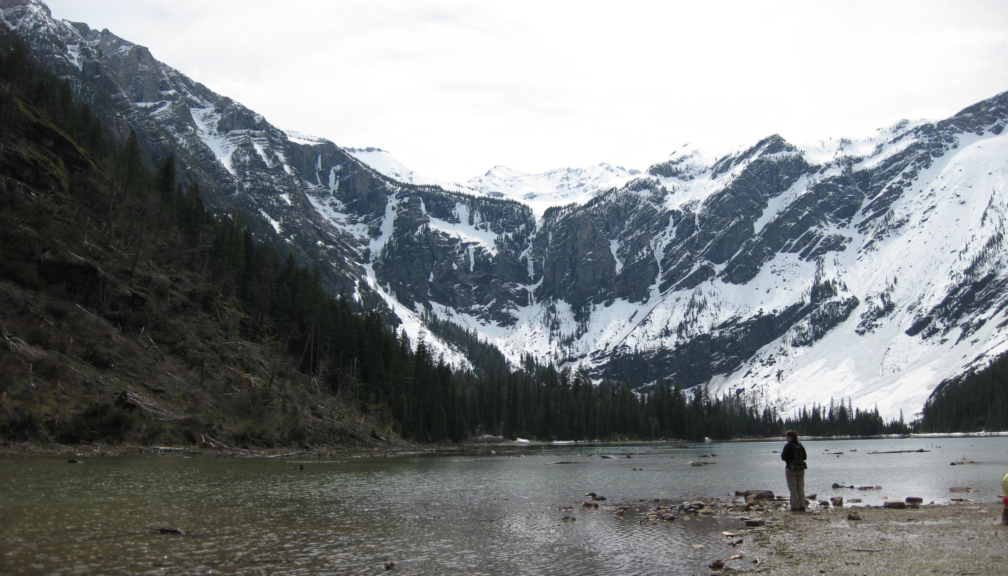
Glacier Bowl
Topographic Map of Mount Penrose, Mt Penrose, Montana, USA
Find elevation by address:

Places near Mount Penrose, Mt Penrose, Montana, USA:
Nyack Mountain
Great Bear Mountain
Nyack
Ousel Peak
Hungry Horse Mountain
Firefighter Mountain
Great Northern Mountain
Grant Ridge
Murray Bay Campground
Mount Liebig
Mount Murray
Double Mountain West
US-2, Essex, MT, USA
Lincoln Peak
Paola Ridge
Mount Adams
Lake Ellen Wilson
West Glacier, MT, USA
Lake Mcdonald Lodge
Pioneer Ridge
Recent Searches:
- Elevation of Corso Fratelli Cairoli, 35, Macerata MC, Italy
- Elevation of Tallevast Rd, Sarasota, FL, USA
- Elevation of 4th St E, Sonoma, CA, USA
- Elevation of Black Hollow Rd, Pennsdale, PA, USA
- Elevation of Oakland Ave, Williamsport, PA, USA
- Elevation of Pedrógão Grande, Portugal
- Elevation of Klee Dr, Martinsburg, WV, USA
- Elevation of Via Roma, Pieranica CR, Italy
- Elevation of Tavkvetili Mountain, Georgia
- Elevation of Hartfords Bluff Cir, Mt Pleasant, SC, USA