Elevation of Mount Liebig, Mt Liebig, Montana, USA
Location: United States > Montana > Flathead County > Essex >
Longitude: -113.73288
Latitude: 48.308019
Elevation: 2441m / 8009feet
Barometric Pressure: 75KPa
Elevation Map:
Satellite Map:
Related Photos:

Emery Creek
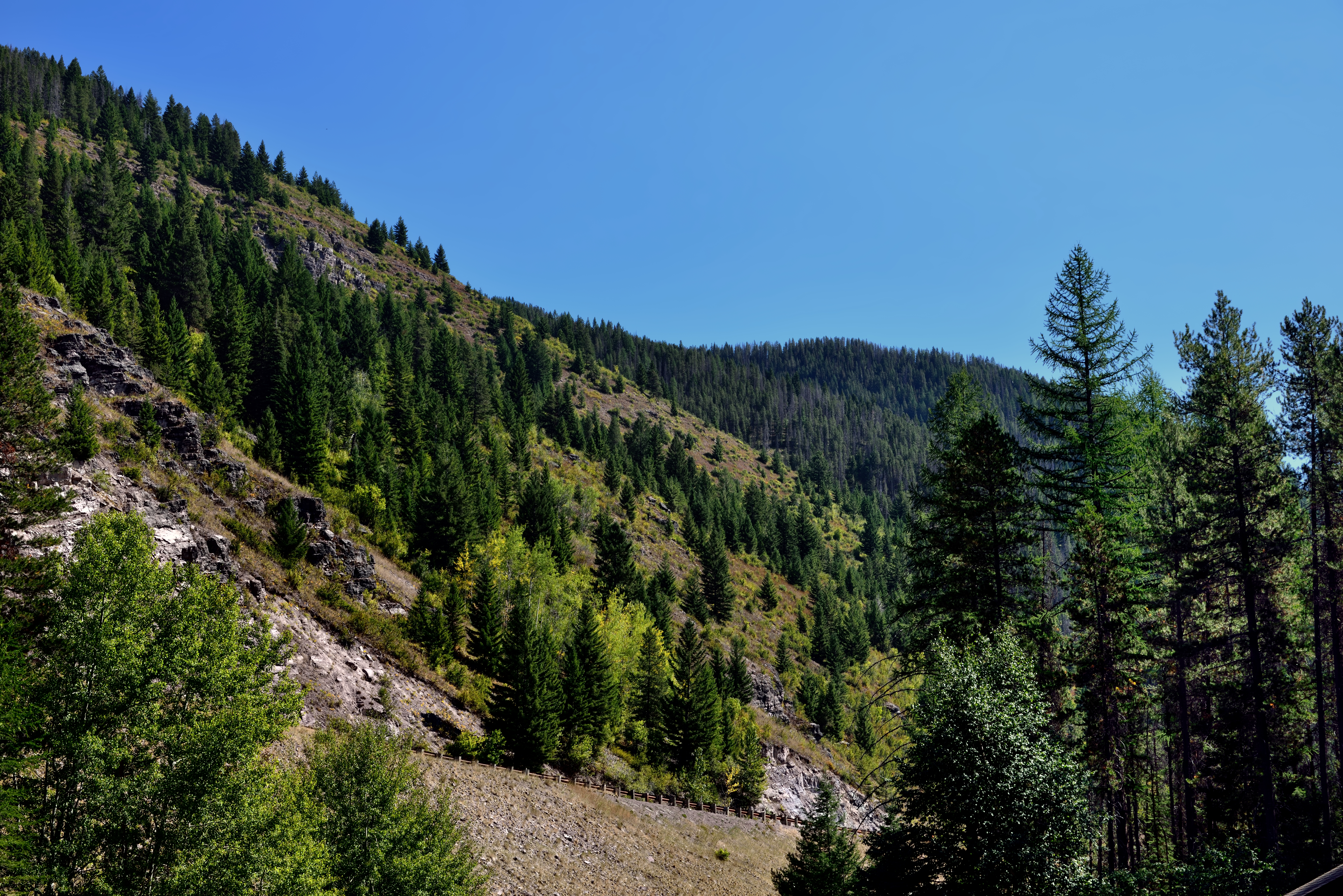
A Hillside of Trees
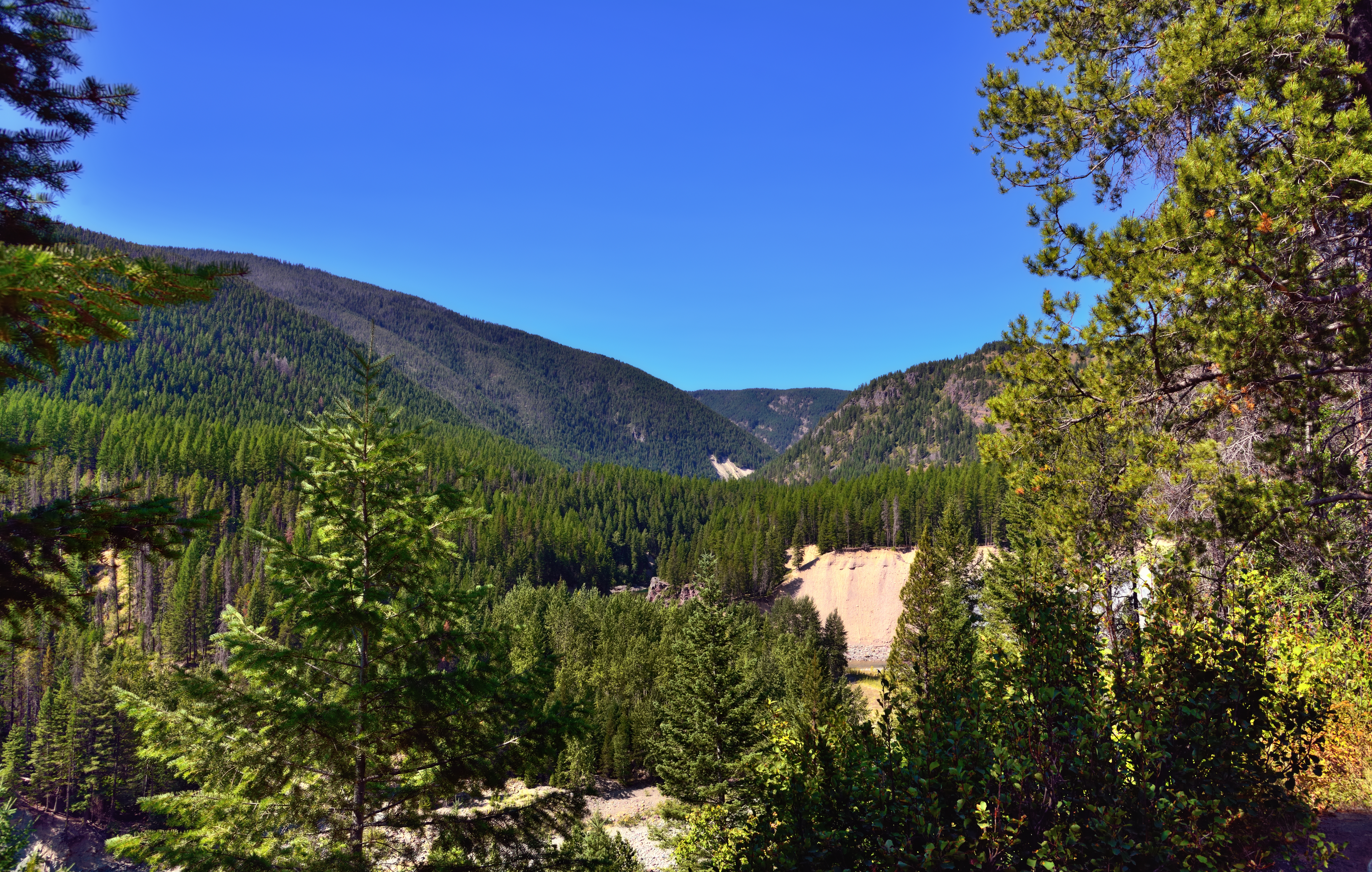
A View through Nearby Trees at Goat Lick
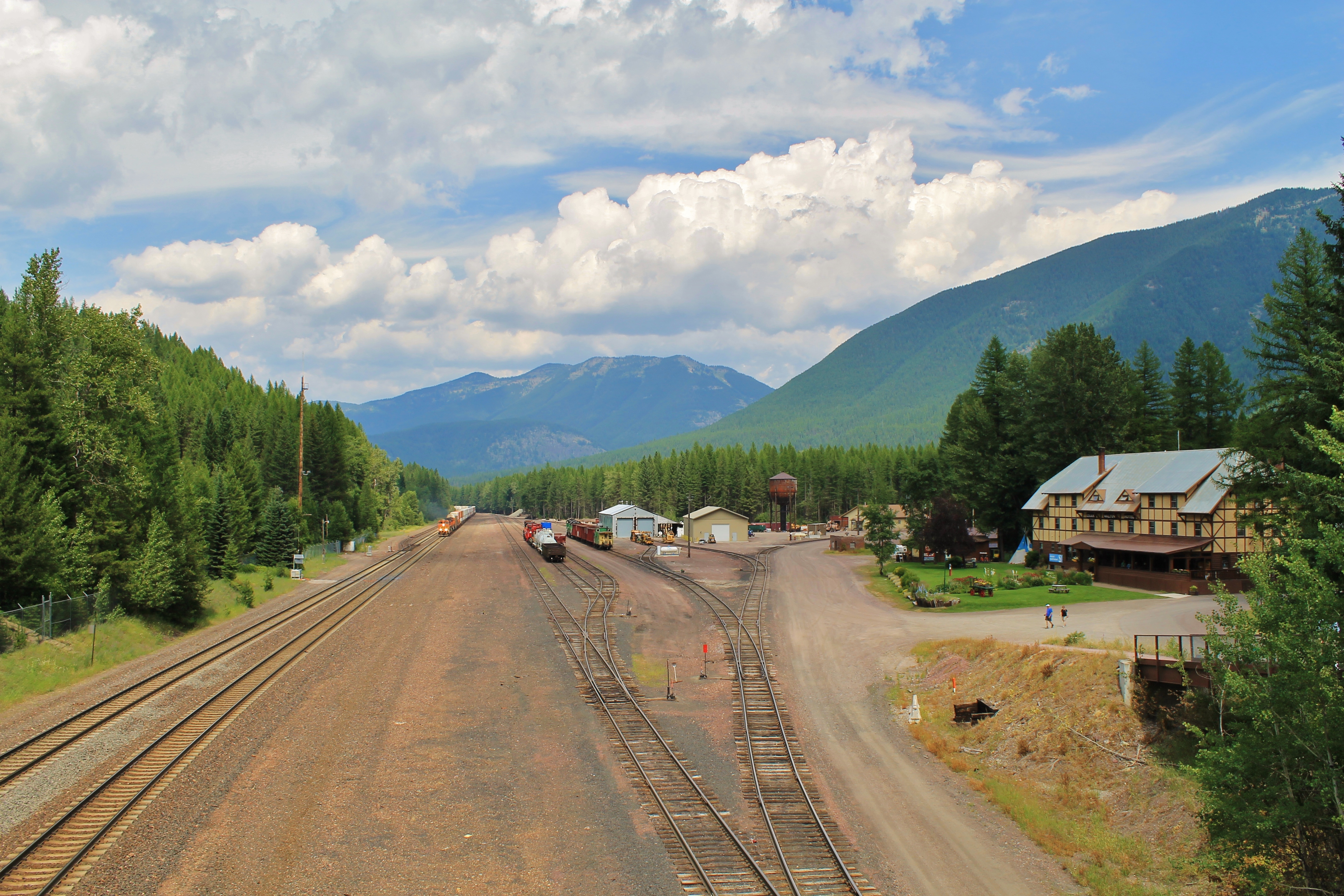
View from above.
Topographic Map of Mount Liebig, Mt Liebig, Montana, USA
Find elevation by address:

Places near Mount Liebig, Mt Liebig, Montana, USA:
Grant Ridge
Mount Murray
Great Northern Mountain
Mount Adams
Paola Ridge
Essex Mountain
Mount Cameahwait
Murray Bay Campground
US-2, Essex, MT, USA
Snowshed Mountain
Nyack Mountain
Double Mountain West
Essex
118 Izaak Walton Inn Rd
Riverview Mountain
Felix Peak
Mount Penrose
Firefighter Mountain
Rampage Mountain
Nyack
Recent Searches:
- Elevation of Corso Fratelli Cairoli, 35, Macerata MC, Italy
- Elevation of Tallevast Rd, Sarasota, FL, USA
- Elevation of 4th St E, Sonoma, CA, USA
- Elevation of Black Hollow Rd, Pennsdale, PA, USA
- Elevation of Oakland Ave, Williamsport, PA, USA
- Elevation of Pedrógão Grande, Portugal
- Elevation of Klee Dr, Martinsburg, WV, USA
- Elevation of Via Roma, Pieranica CR, Italy
- Elevation of Tavkvetili Mountain, Georgia
- Elevation of Hartfords Bluff Cir, Mt Pleasant, SC, USA