Elevation of Mount Martha Black, Yukon, Unorganized, YT Y0B, Canada
Location: Canada > Yukon Territory > Yukon > Destruction Bay >
Longitude: -137.61916
Latitude: 60.6708333
Elevation: 2473m / 8113feet
Barometric Pressure: 75KPa
Elevation Map:
Satellite Map:
Related Photos:

Day 213 - Quill Creek in Kluane National Park
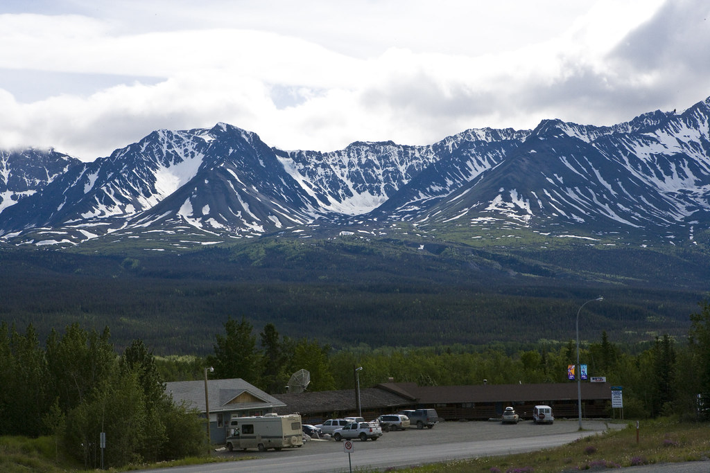
Haines Junction, Yukon, Canada VR6D1969e1
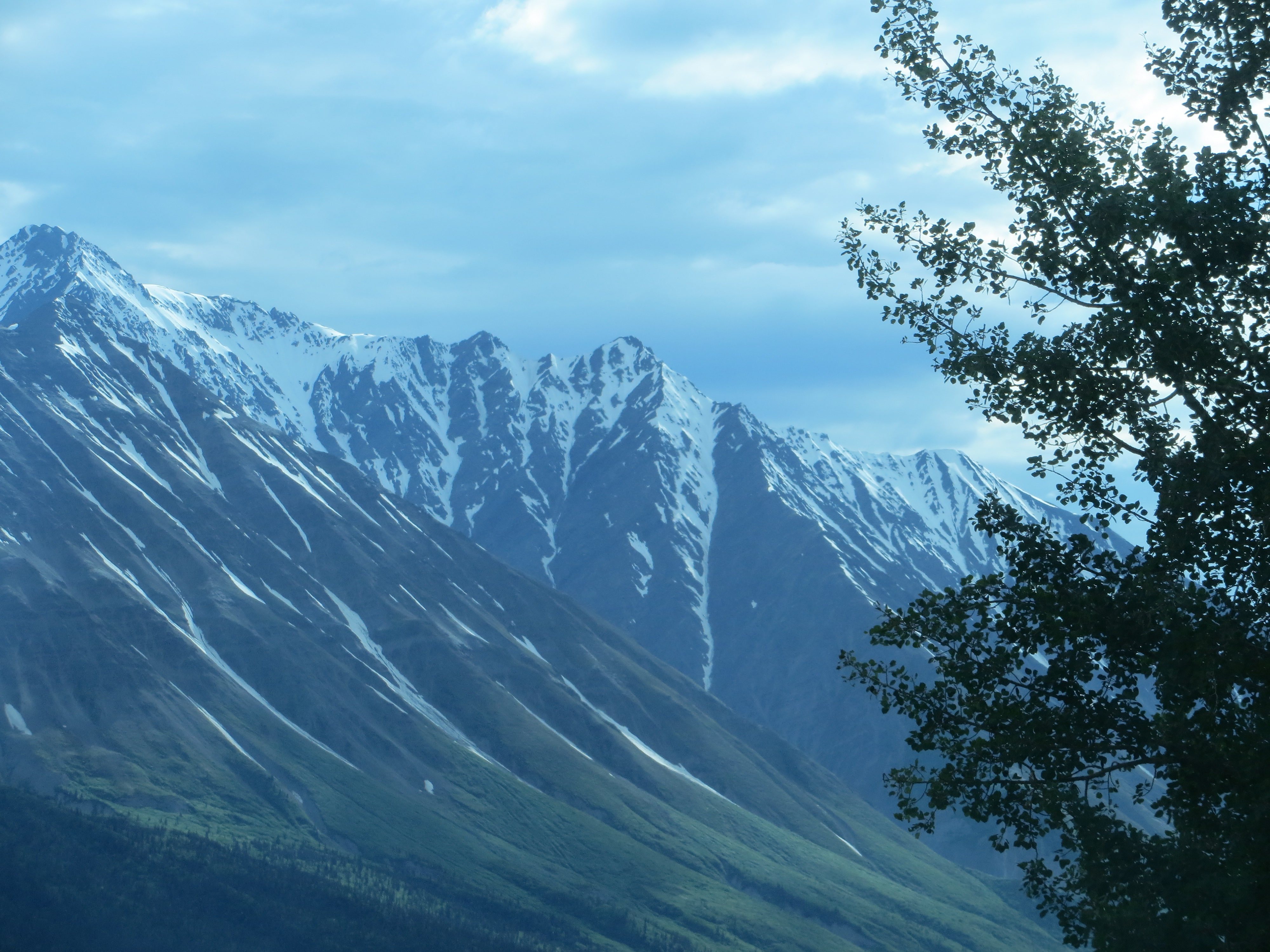
View of mountains from Haines Junction
Topographic Map of Mount Martha Black, Yukon, Unorganized, YT Y0B, Canada
Find elevation by address:

Places near Mount Martha Black, Yukon, Unorganized, YT Y0B, Canada:
Haines Junction
Alsek Crescent, Haines Junction, YT Y0B 1L0, Canada
Kathleen Peak
Johobo Peak
Dezadeash Peak
1602 Alaska Hwy
Otter Falls
Recent Searches:
- Elevation of Corso Fratelli Cairoli, 35, Macerata MC, Italy
- Elevation of Tallevast Rd, Sarasota, FL, USA
- Elevation of 4th St E, Sonoma, CA, USA
- Elevation of Black Hollow Rd, Pennsdale, PA, USA
- Elevation of Oakland Ave, Williamsport, PA, USA
- Elevation of Pedrógão Grande, Portugal
- Elevation of Klee Dr, Martinsburg, WV, USA
- Elevation of Via Roma, Pieranica CR, Italy
- Elevation of Tavkvetili Mountain, Georgia
- Elevation of Hartfords Bluff Cir, Mt Pleasant, SC, USA