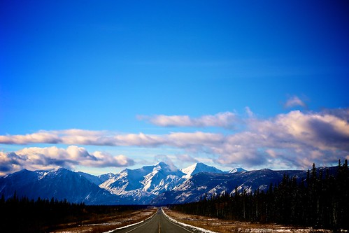
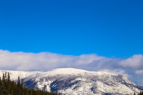
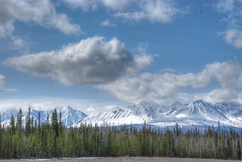
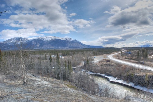
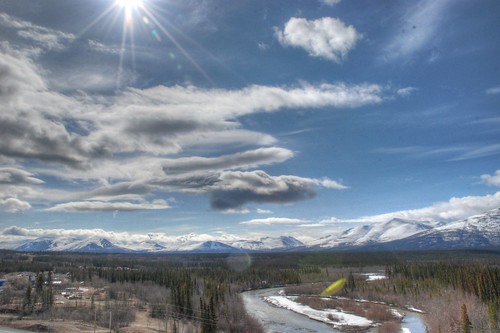
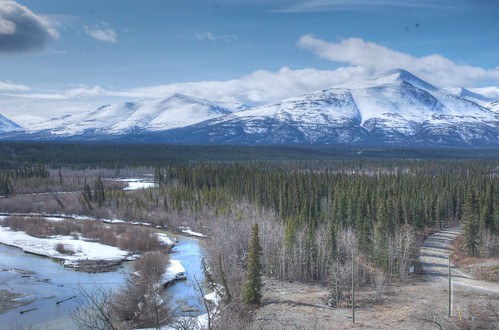
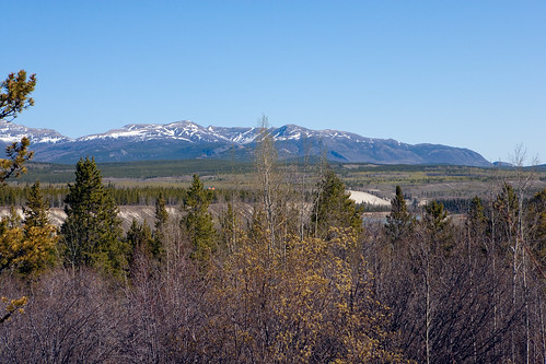
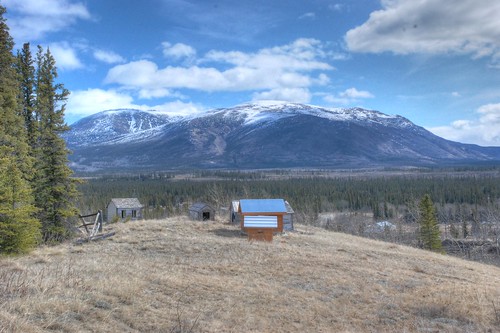
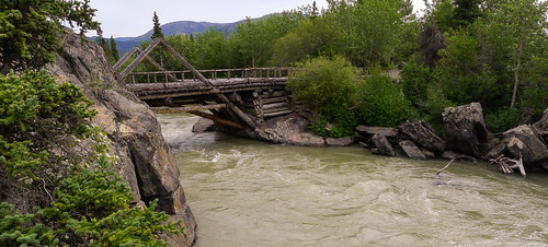
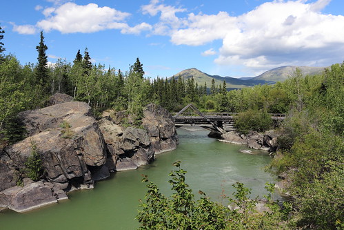
Elevation of Dezadeash Peak, Yukon, Unorganized, YT Y0B, Canada
Location: Canada > Yukon Territory > Yukon > Haines Junction >
Longitude: -137.02861
Latitude: 60.7380555
Elevation: 1899m / 6230feet
Barometric Pressure: 80KPa
Related Photos:
Topographic Map of Dezadeash Peak, Yukon, Unorganized, YT Y0B, Canada
Find elevation by address:

Places near Dezadeash Peak, Yukon, Unorganized, YT Y0B, Canada:
1602 Alaska Hwy
Otter Falls
Kathleen Peak
Alsek Crescent, Haines Junction, YT Y0B 1L0, Canada
Haines Junction
Johobo Peak
Mount Martha Black
Recent Searches:
- Elevation of Corso Fratelli Cairoli, 35, Macerata MC, Italy
- Elevation of Tallevast Rd, Sarasota, FL, USA
- Elevation of 4th St E, Sonoma, CA, USA
- Elevation of Black Hollow Rd, Pennsdale, PA, USA
- Elevation of Oakland Ave, Williamsport, PA, USA
- Elevation of Pedrógão Grande, Portugal
- Elevation of Klee Dr, Martinsburg, WV, USA
- Elevation of Via Roma, Pieranica CR, Italy
- Elevation of Tavkvetili Mountain, Georgia
- Elevation of Hartfords Bluff Cir, Mt Pleasant, SC, USA
