Elevation of Mount Linn, California, USA
Location: United States > California > Red Bluff >
Longitude: -122.85494
Latitude: 40.0367084
Elevation: 2419m / 7936feet
Barometric Pressure: 75KPa
Elevation Map:
Satellite Map:
Related Photos:

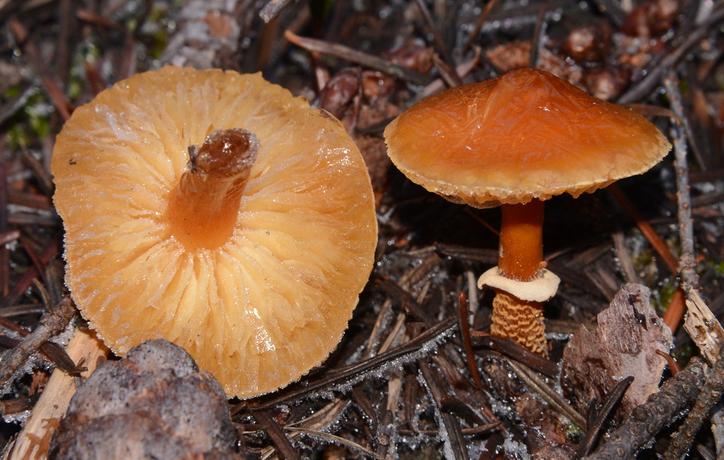
Cystoderma fallax, Yolla Bolly Wilderness, California
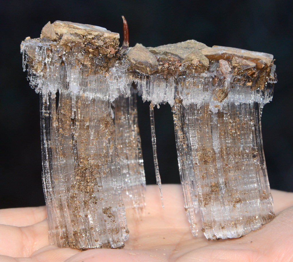
Needle ice !!!, Yolla Bolly Wilderness, California
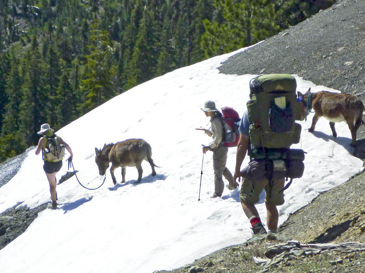
Yolla Bolly wilderness #1
Topographic Map of Mount Linn, California, USA
Find elevation by address:

Places near Mount Linn, California, USA:
Solomon Peak
Tomhead Saddle Campground
Saddle Camp Campground
Usfs Road
Wells Creek Campground
Little Doe Campground
North Yolla Bolly Mountains
North Yolla Bolly
Whitlock Campground
Nirvana Ranch Rd, Red Bluff, CA, USA
Nirvana Ranch Rd, Red Bluff, CA, USA
Leech Lake Mountain
41380 Mendocino Pass Rd
41380 Mendocino Pass Rd
Pryor Rd, Red Bluff, CA, USA
Yolla Bolla Area
6700 Ca-36
Colyer Springs Rd, Red Bluff, CA, USA
High Flats Road
Mendocino Pass Rd, Covelo, CA, USA
Recent Searches:
- Elevation of Corso Fratelli Cairoli, 35, Macerata MC, Italy
- Elevation of Tallevast Rd, Sarasota, FL, USA
- Elevation of 4th St E, Sonoma, CA, USA
- Elevation of Black Hollow Rd, Pennsdale, PA, USA
- Elevation of Oakland Ave, Williamsport, PA, USA
- Elevation of Pedrógão Grande, Portugal
- Elevation of Klee Dr, Martinsburg, WV, USA
- Elevation of Via Roma, Pieranica CR, Italy
- Elevation of Tavkvetili Mountain, Georgia
- Elevation of Hartfords Bluff Cir, Mt Pleasant, SC, USA