Elevation of Mount King George, East Kootenay F, BC V0B, Canada
Location: Canada > British Columbia > East Kootenay > Elkford >
Longitude: -115.405
Latitude: 50.5963888
Elevation: 3400m / 11155feet
Barometric Pressure: 67KPa
Elevation Map:
Satellite Map:
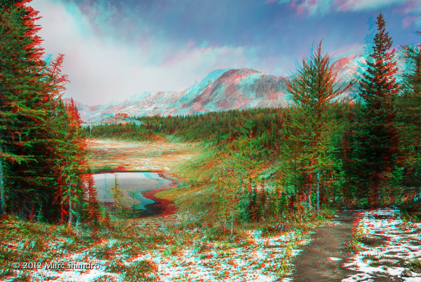
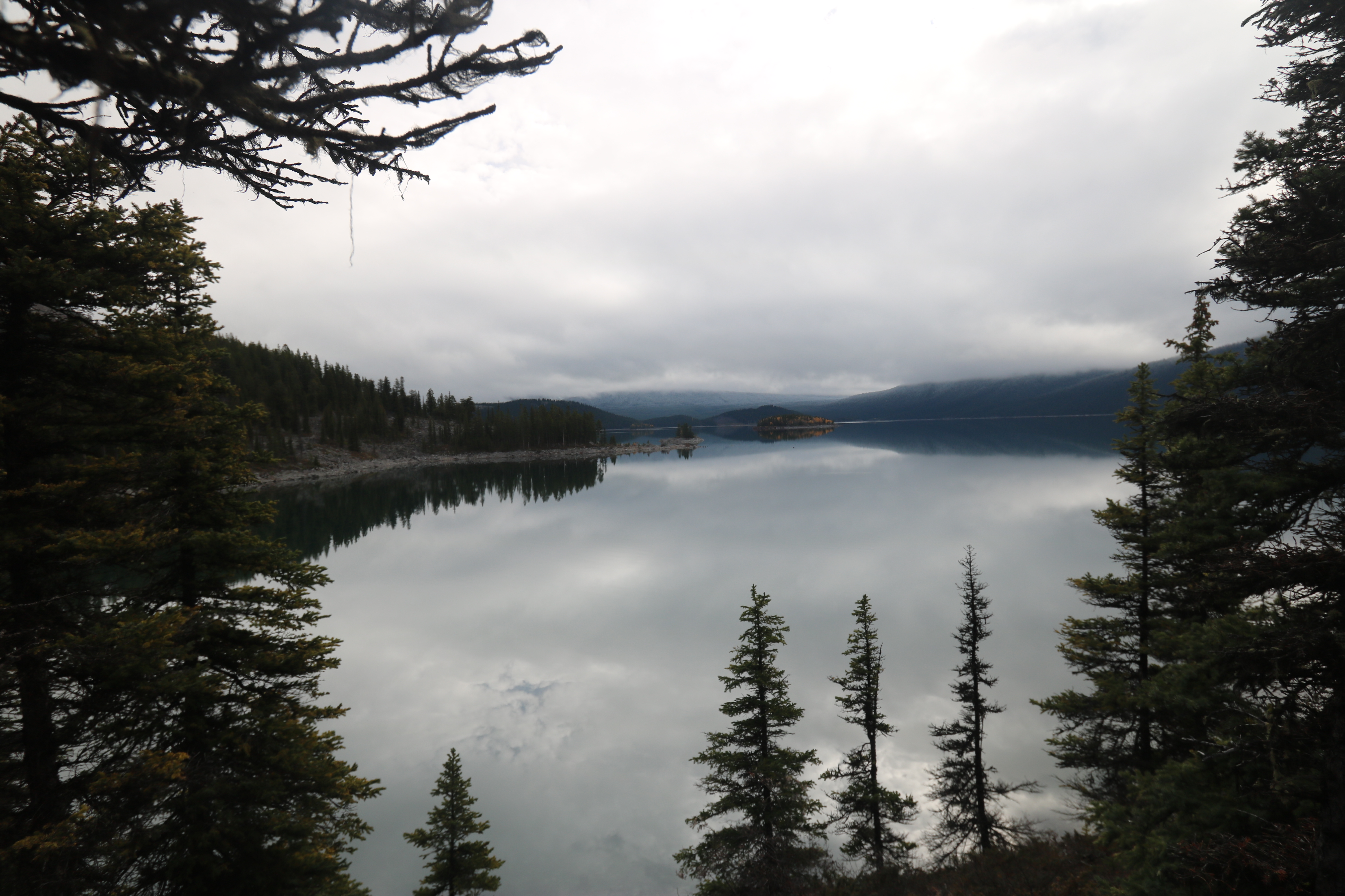
Related Photos:

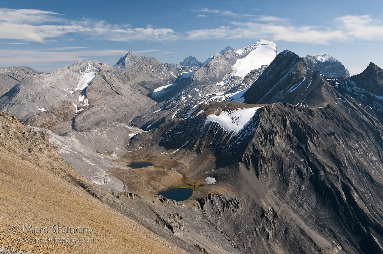
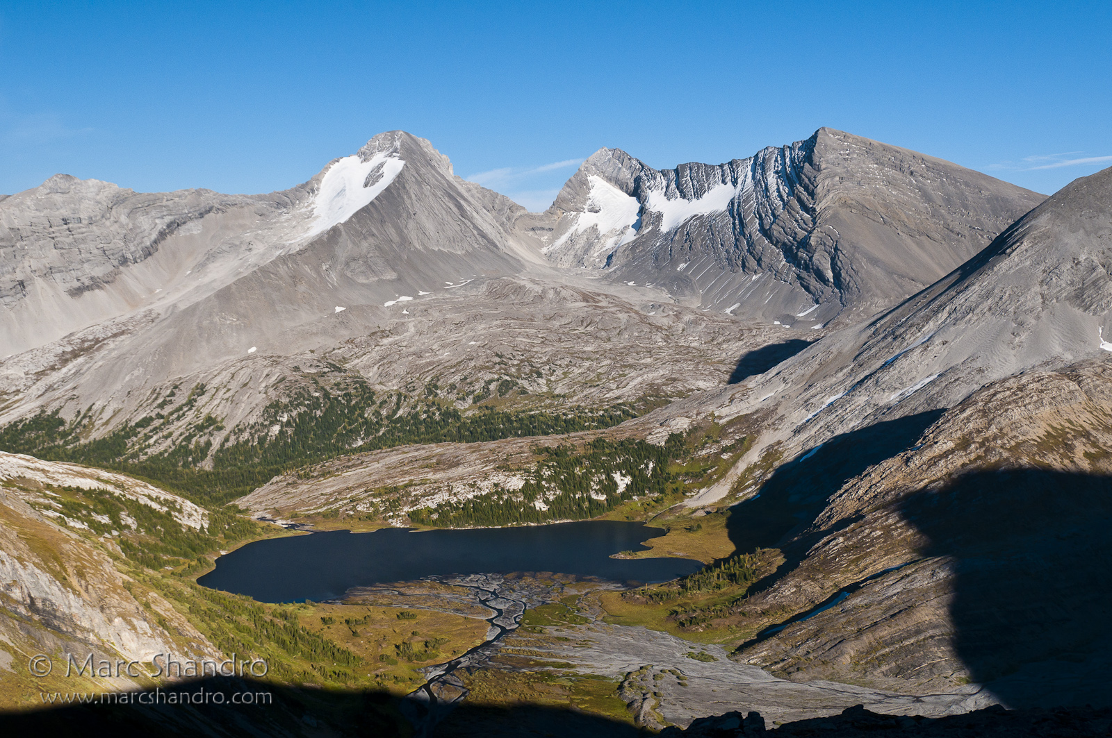
View From North Kananaskis Pass - Canadian Rockies
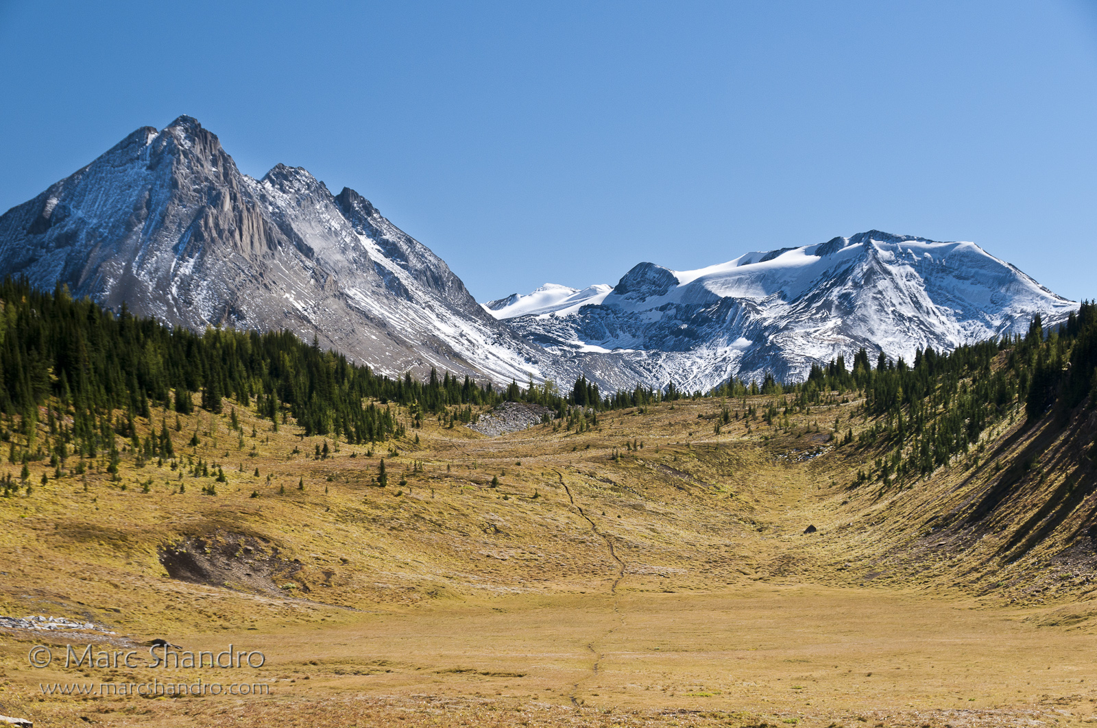
Northover Lakes and Mt Joffre
Hints of Upper Kananaskis Lake

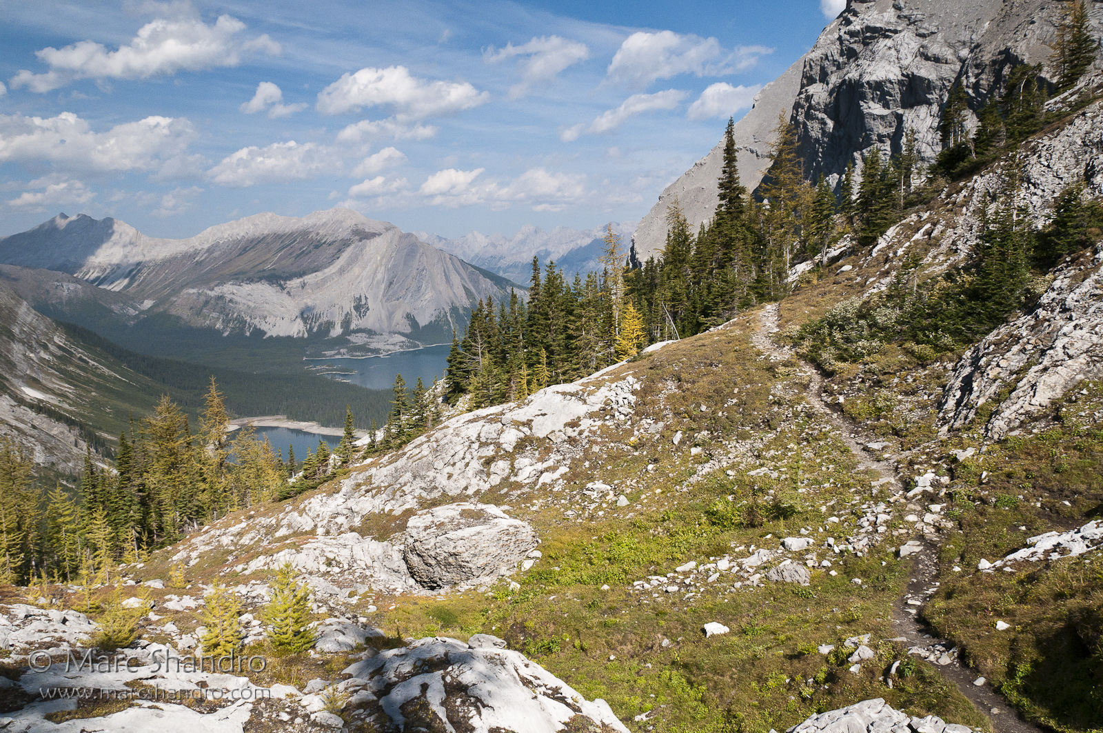
Backpacking On Northover Ridge - Canadian Rockies
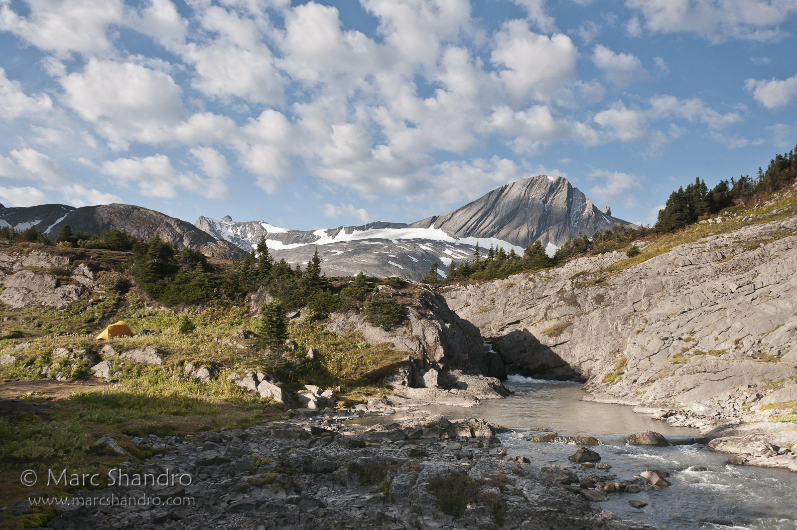
Good Morning Kananaskis!
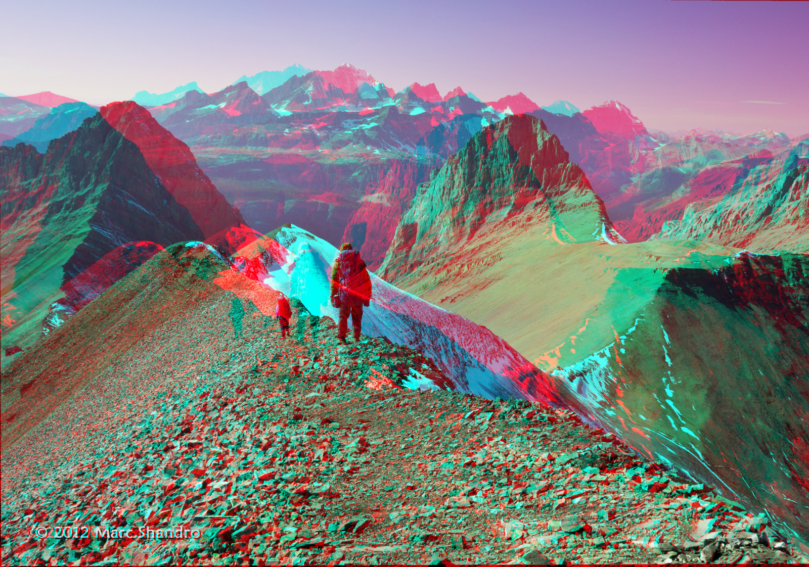
Backpacking On Northover Ridge - Canadian Rockies - 3D
Shadows Approach Aster Lake
South Kananaskis Pass
Putnik Pond - Kananaskis Alberta - Canadian Rockies
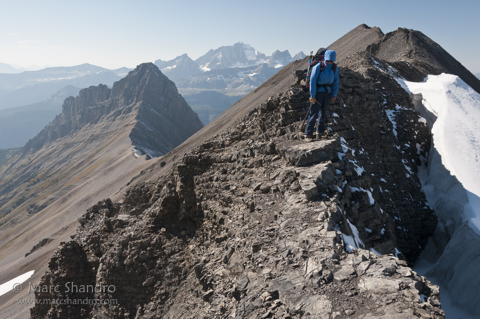
The Northover Crux
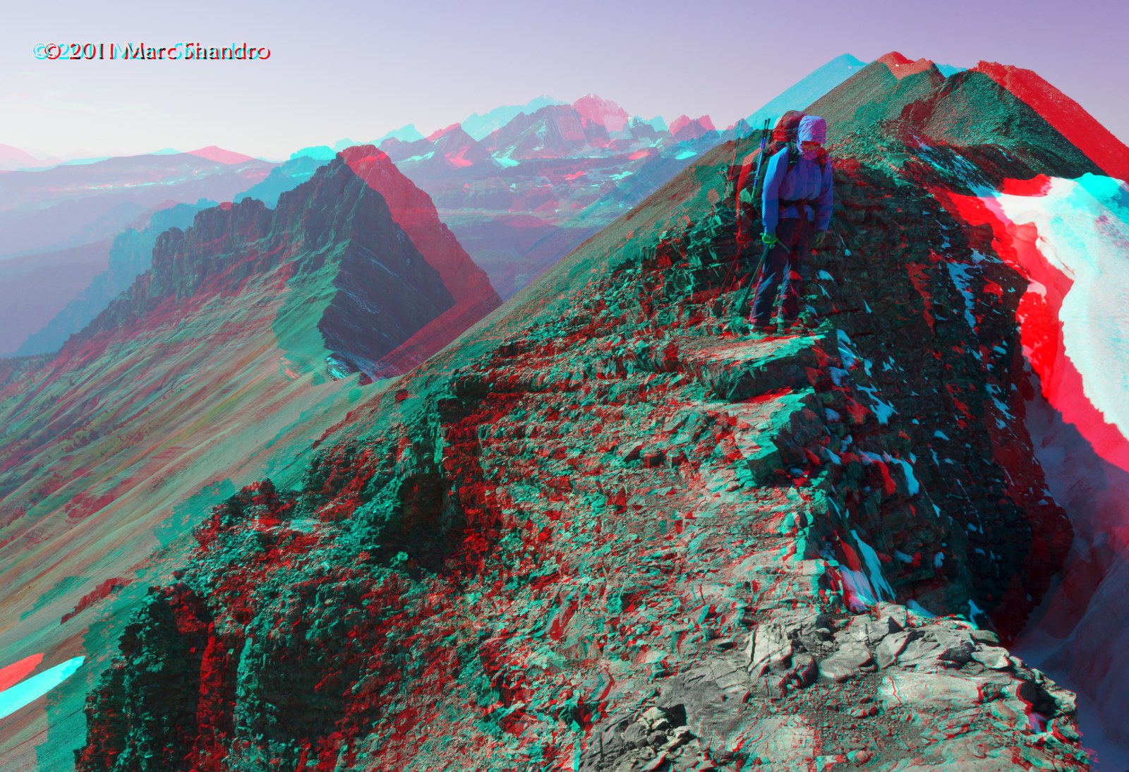
Northover Ridge Crux - Canadian Rockies - 3D
View From North Kananaskis Pass - Canadian Rockies - 3D
Putnik Pond - Kananaskis Alberta - Canadian Rockies - 3D
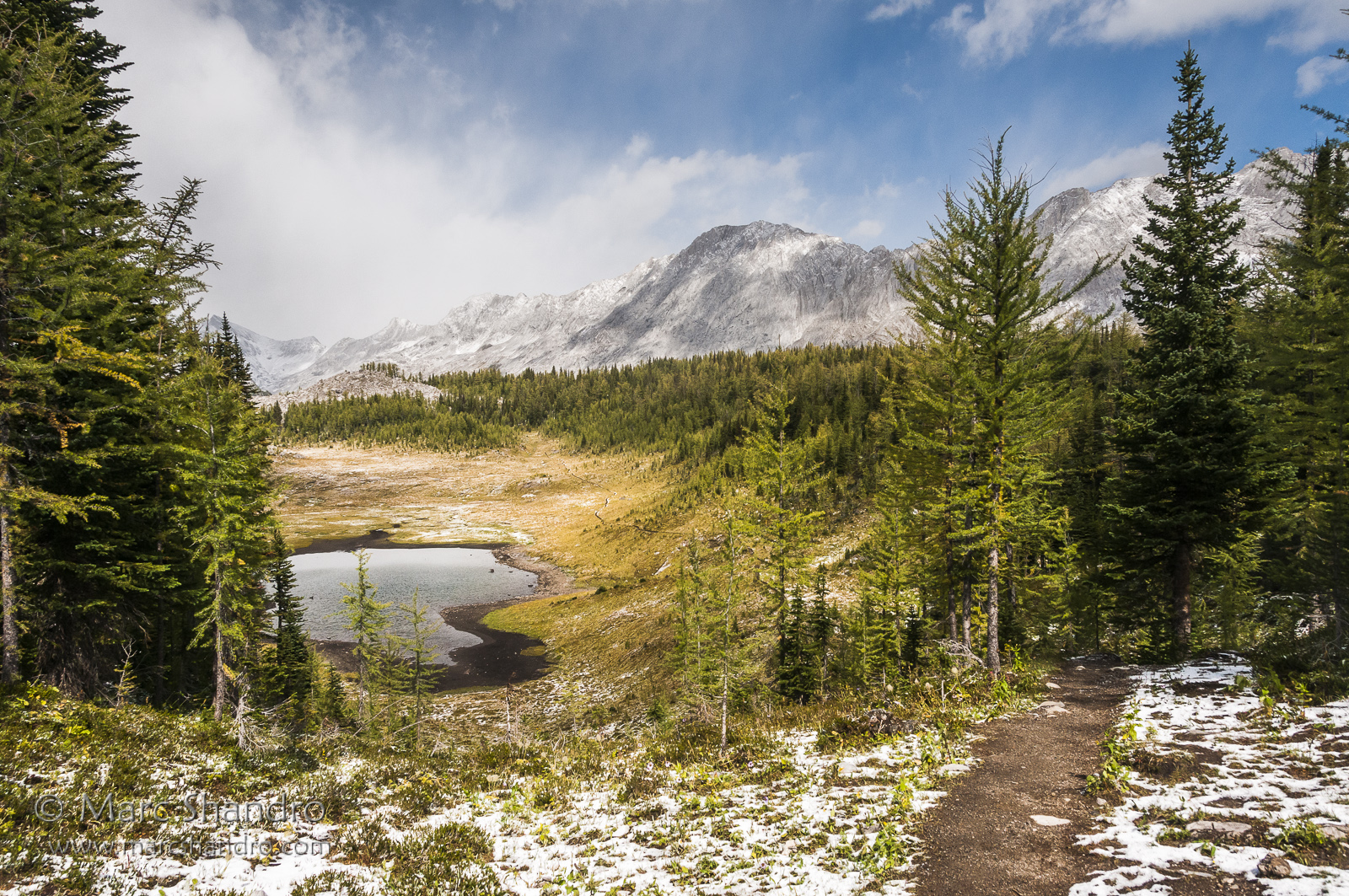
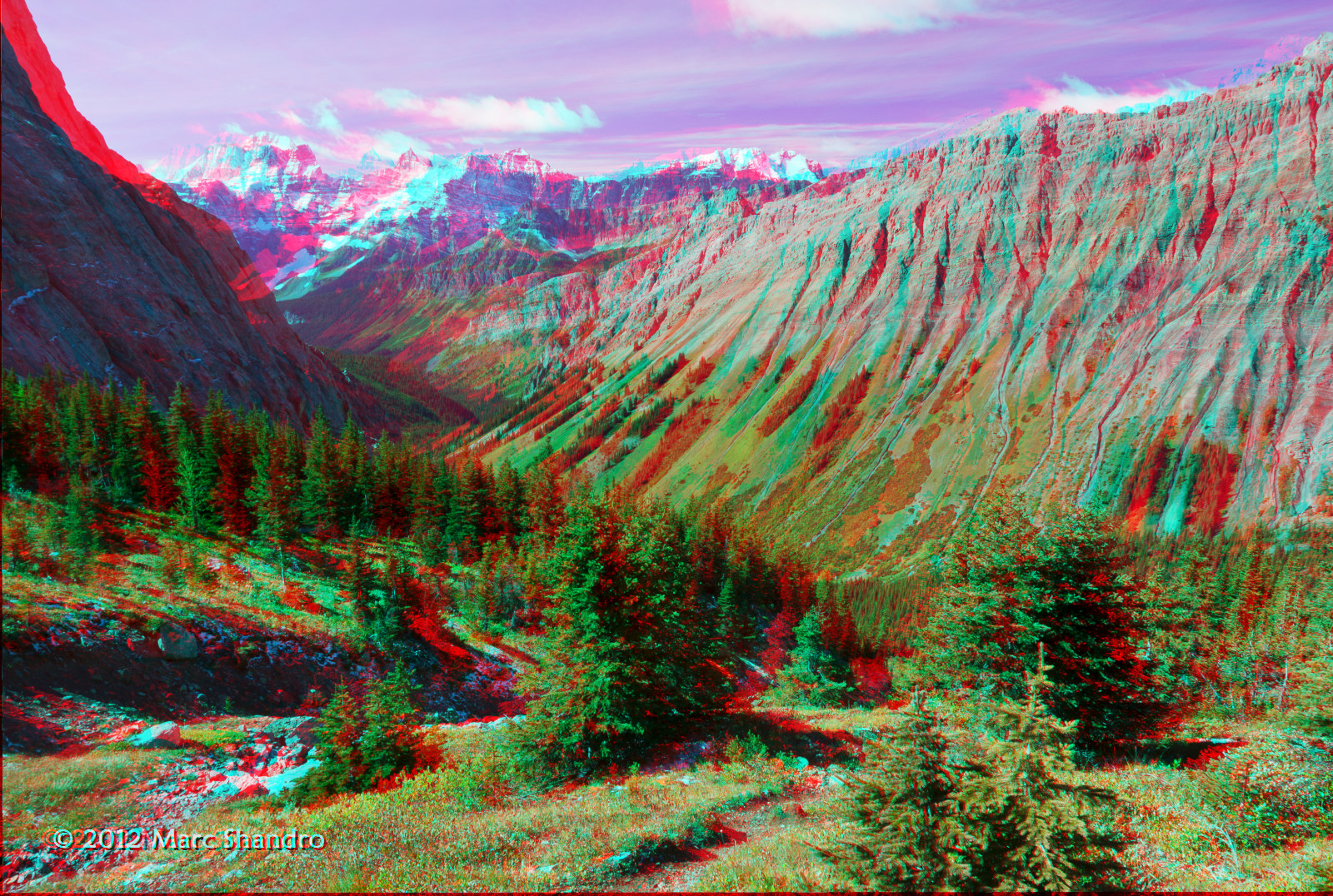
The lake hike continues heading round to the half way point.

Aerial View of the Canadian Rockies
Topographic Map of Mount King George, East Kootenay F, BC V0B, Canada
Find elevation by address:

Places near Mount King George, East Kootenay F, BC V0B, Canada:
Mount Princess Mary
Mount Prince Edward
Mount Prince George
Mount Prince Henry
Franklin Peaks
Nappe Mountain
Mount Pedley
Aeneas E2
Tegart Peak
Aeneas N3
Aeneas Se1
Mount Aeneas
Aeneas Nw1
Edwards Peak
Indian Head Se1
Indian Head Mountain
Mount Bryan
Piebald Peak
Blue Knight Peak
Mount Glen
Recent Searches:
- Elevation of Corso Fratelli Cairoli, 35, Macerata MC, Italy
- Elevation of Tallevast Rd, Sarasota, FL, USA
- Elevation of 4th St E, Sonoma, CA, USA
- Elevation of Black Hollow Rd, Pennsdale, PA, USA
- Elevation of Oakland Ave, Williamsport, PA, USA
- Elevation of Pedrógão Grande, Portugal
- Elevation of Klee Dr, Martinsburg, WV, USA
- Elevation of Via Roma, Pieranica CR, Italy
- Elevation of Tavkvetili Mountain, Georgia
- Elevation of Hartfords Bluff Cir, Mt Pleasant, SC, USA