Elevation of Mount Glen, East Kootenay F, BC V0B, Canada
Location: Canada > British Columbia > East Kootenay > East Kootenay F >
Longitude: -115.64777
Latitude: 50.2202777
Elevation: 2193m / 7195feet
Barometric Pressure: 78KPa
Elevation Map:
Satellite Map:
Related Photos:
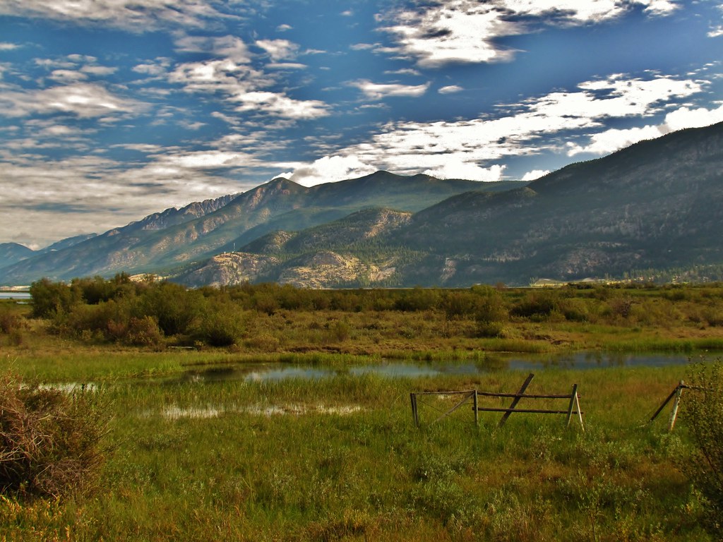
IMG_1950 (2)
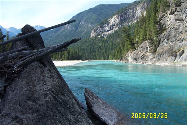
Sept.25- 28- 2006 BC Quad Trip 041.jpg
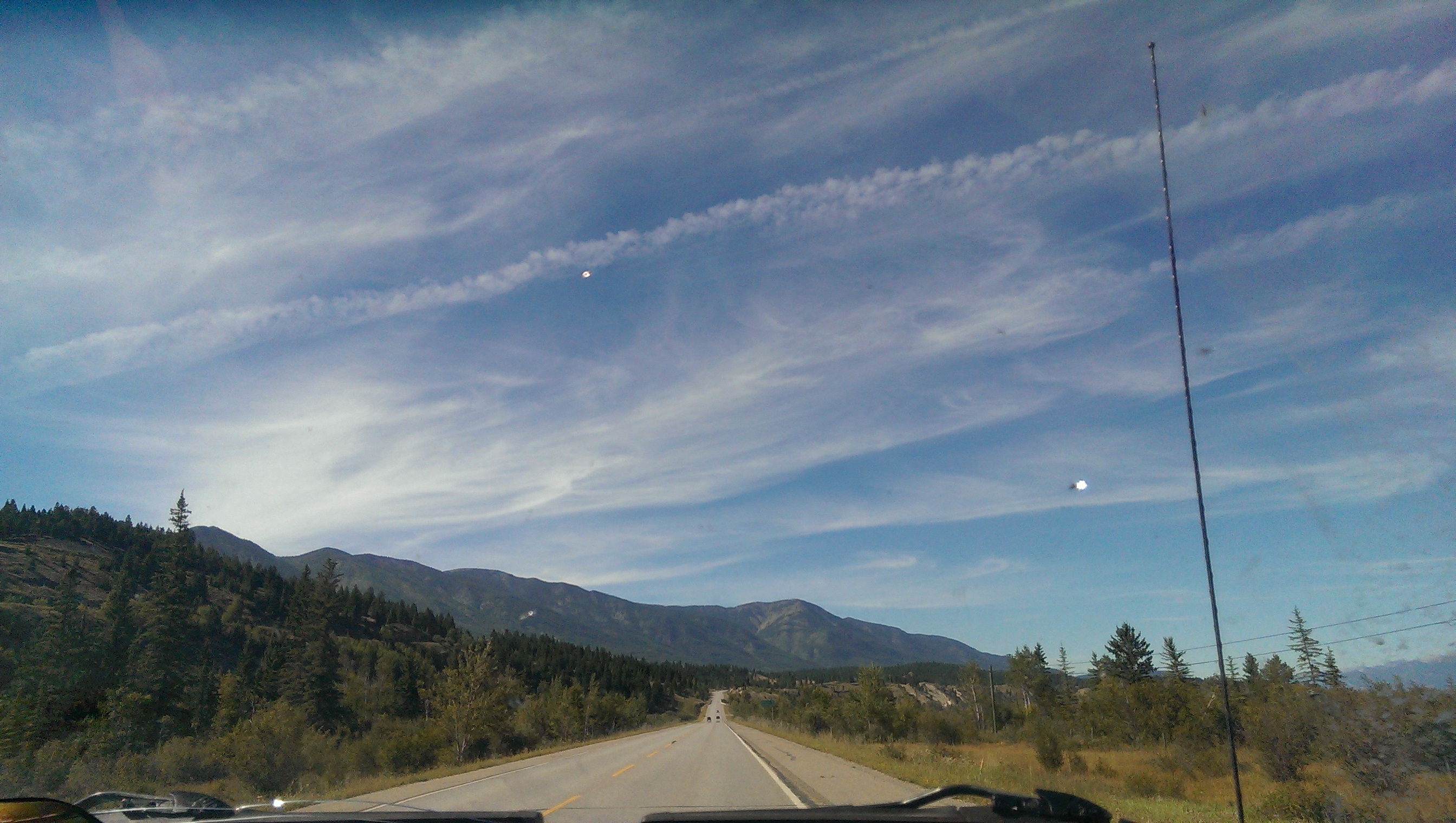
The Mountain View
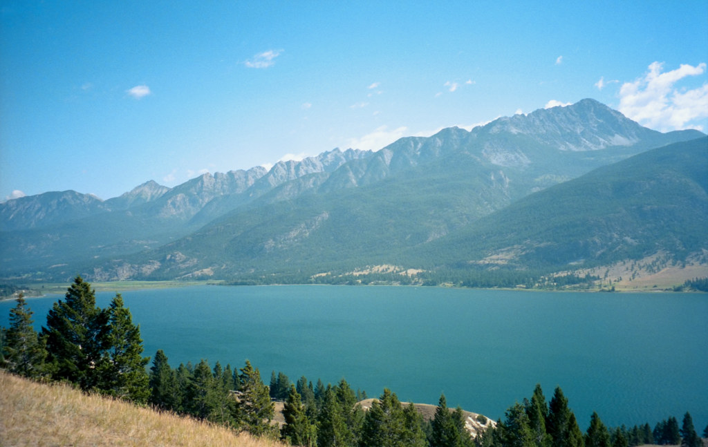
Columbia Lake

Sept.25- 28- 2006 BC Quad Trip 040.jpg

Sept.25- 28- 2006 BC Quad Trip 036.jpg
Topographic Map of Mount Glen, East Kootenay F, BC V0B, Canada
Find elevation by address:

Places near Mount Glen, East Kootenay F, BC V0B, Canada:
Edwards Peak
Mount Grainger
Mount De Smet
Blue Knight Peak
White Knight Peak
East Kootenay
Lussier Peak
Shark Tooth Nw2
Fairmont Mountain
Nappe Mountain
Shark Tooth Sw1
Canal Flats
Canal Flats Frontage Road West
Canal Flats Frontage Road West
Fairmont Ridge
Shark Tooth Se1
Columbia Lake
Mclean Peak
Mount Pedley
Shark Tooth S4
Recent Searches:
- Elevation of Corso Fratelli Cairoli, 35, Macerata MC, Italy
- Elevation of Tallevast Rd, Sarasota, FL, USA
- Elevation of 4th St E, Sonoma, CA, USA
- Elevation of Black Hollow Rd, Pennsdale, PA, USA
- Elevation of Oakland Ave, Williamsport, PA, USA
- Elevation of Pedrógão Grande, Portugal
- Elevation of Klee Dr, Martinsburg, WV, USA
- Elevation of Via Roma, Pieranica CR, Italy
- Elevation of Tavkvetili Mountain, Georgia
- Elevation of Hartfords Bluff Cir, Mt Pleasant, SC, USA