Elevation of Mount Kawi, Mt. Kawi, Ngadirenggo/Htn, Wlingi, Blitar, East Java, Indonesia
Location: Indonesia > East Java > Blitar > Wlingi > Ngadirenggo/htn >
Longitude: 112.465
Latitude: -7.955
Elevation: 2836m / 9304feet
Barometric Pressure: 72KPa
Elevation Map:
Satellite Map:
Related Photos:
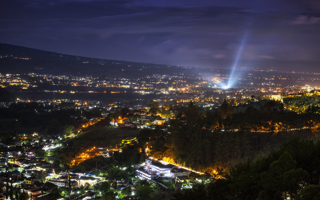
Batu City at Night

Relax and enjoy the view

The cottages: drawing from the landscape to provide views, unique amenity, and microclimatic benefits are located around and within a lagoon and agricurtural plantations #project #villa #instanusantara
Topographic Map of Mount Kawi, Mt. Kawi, Ngadirenggo/Htn, Wlingi, Blitar, East Java, Indonesia
Find elevation by address:

Places near Mount Kawi, Mt. Kawi, Ngadirenggo/Htn, Wlingi, Blitar, East Java, Indonesia:
Ngadirenggo/htn
Kelud
Wlingi
Kesamben
Jembul
Rejosari
Tawangrejo
Blitar
Manting
Sumberjati
Blitar City
Pare, Kediri
Blitar
Lebakjabung
Jatirejo
Baureno
Gebangsari
Dinoyo
Sumengko
Padangasri
Recent Searches:
- Elevation of Corso Fratelli Cairoli, 35, Macerata MC, Italy
- Elevation of Tallevast Rd, Sarasota, FL, USA
- Elevation of 4th St E, Sonoma, CA, USA
- Elevation of Black Hollow Rd, Pennsdale, PA, USA
- Elevation of Oakland Ave, Williamsport, PA, USA
- Elevation of Pedrógão Grande, Portugal
- Elevation of Klee Dr, Martinsburg, WV, USA
- Elevation of Via Roma, Pieranica CR, Italy
- Elevation of Tavkvetili Mountain, Georgia
- Elevation of Hartfords Bluff Cir, Mt Pleasant, SC, USA