Elevation of Mount Headley, Mt Headley, Montana, USA
Location: United States > Montana > Sanders County > Thompson Falls >
Longitude: -115.26320
Latitude: 47.7399366
Elevation: 2248m / 7375feet
Barometric Pressure: 77KPa
Elevation Map:
Satellite Map:
Related Photos:

Cougar Peak Lookout
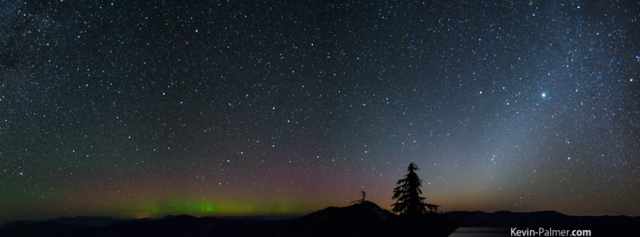
Aurora and Zodiacal Light

Milky Way at Moonset
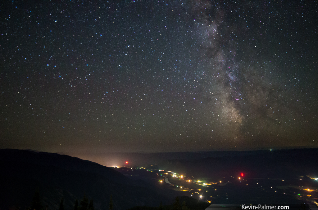
Above the Valley Lights
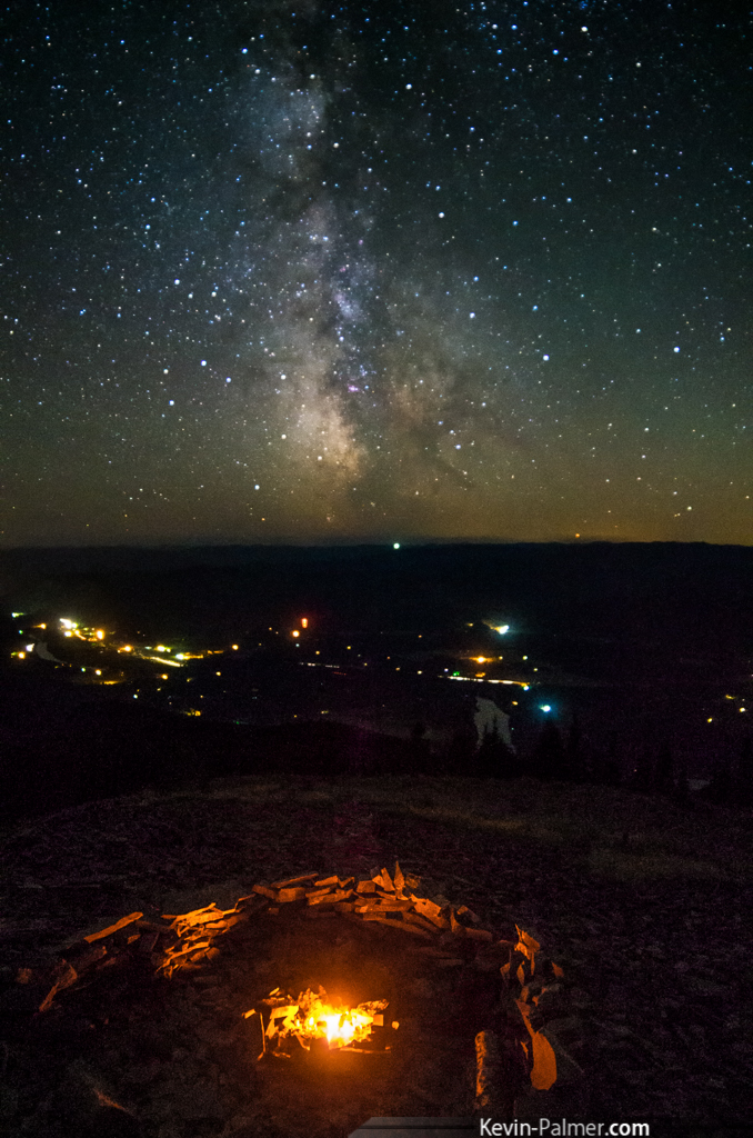
Fire to the Stars

Cabinet Mountains

Cougar Peak Sunset

View From Lookout Tower

Evening flares

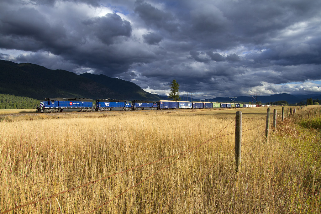
MRL Ribbon Rail
Belknap Flared

Smoke In The Bitterroots
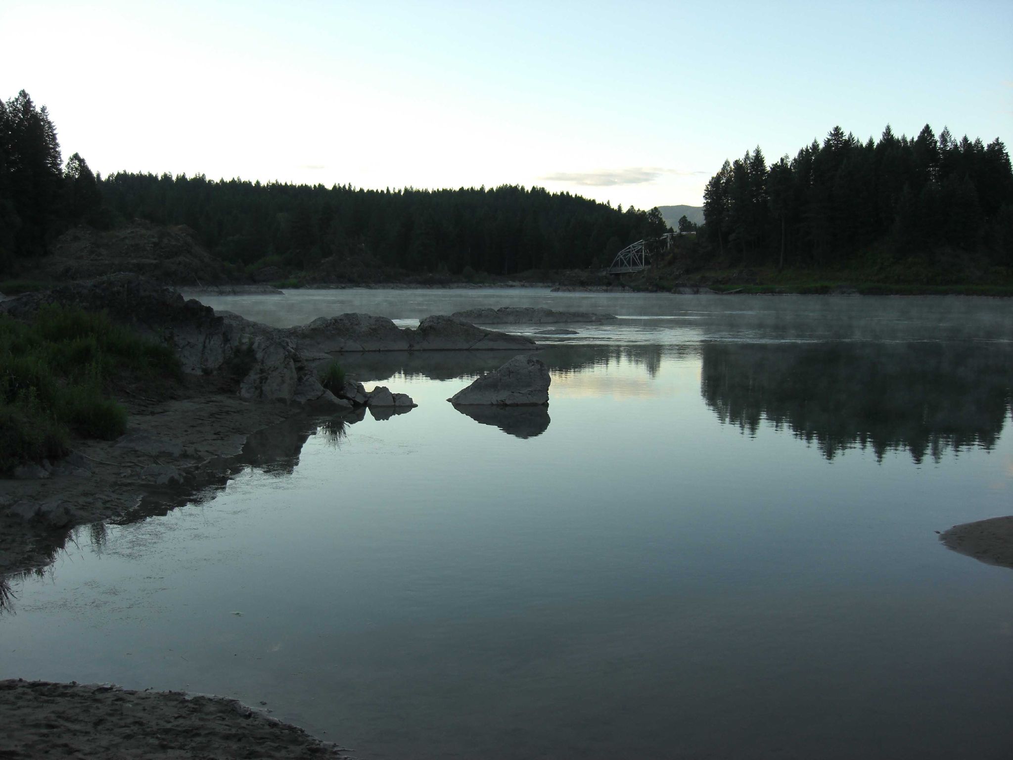
Thompson Falls, Montana

Thompson River Dam

Squaw Creek, running high with flood waters
Topographic Map of Mount Headley, Mt Headley, Montana, USA
Find elevation by address:

Places near Mount Headley, Mt Headley, Montana, USA:
1 Cedar Gulch Ln, Thompson Falls, MT, USA
4 Mt-556
Sanders County
Eddy
39 Eagle Valley Ln
32 Sundowner Ln, St Regis, MT, USA
Meadow Lane
71 Black Jack Rd
345 High Country Rd
62 Three Tree Ln
155 Cedar Creek Rd
230 High Country Rd
310 Cedar Creek Rd
252 Cedar Creek Rd
Upper Lynch Creek Rd, Plains, MT, USA
Rattling Horns Lane
Baldy Mountain
370 Upper Lynch Creek Rd
Saint Regis
Plains, MT, USA
Recent Searches:
- Elevation of Corso Fratelli Cairoli, 35, Macerata MC, Italy
- Elevation of Tallevast Rd, Sarasota, FL, USA
- Elevation of 4th St E, Sonoma, CA, USA
- Elevation of Black Hollow Rd, Pennsdale, PA, USA
- Elevation of Oakland Ave, Williamsport, PA, USA
- Elevation of Pedrógão Grande, Portugal
- Elevation of Klee Dr, Martinsburg, WV, USA
- Elevation of Via Roma, Pieranica CR, Italy
- Elevation of Tavkvetili Mountain, Georgia
- Elevation of Hartfords Bluff Cir, Mt Pleasant, SC, USA