Elevation of Baldy Mountain, Montana, USA
Location: United States > Montana > Plains >
Longitude: -114.82485
Latitude: 47.6216046
Elevation: 2222m / 7290feet
Barometric Pressure: 77KPa
Elevation Map:
Satellite Map:
Related Photos:
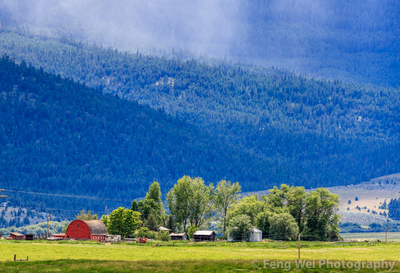
Rural Landscape, Montana USA
Topographic Map of Baldy Mountain, Montana, USA
Find elevation by address:

Places near Baldy Mountain, Montana, USA:
155 Cedar Creek Rd
310 Cedar Creek Rd
252 Cedar Creek Rd
Rattling Horns Lane
62 Three Tree Ln
Upper Lynch Creek Rd, Plains, MT, USA
345 High Country Rd
230 High Country Rd
370 Upper Lynch Creek Rd
Deemer Cr Road
Hot Springs
Deemer Ridge Road
Farmer
Plains
Plains, MT, USA
Meadow Lane
71 Black Jack Rd
75 Bras Rd, Lonepine, MT, USA
7974 Mt-200
39 Eagle Valley Ln
Recent Searches:
- Elevation of Corso Fratelli Cairoli, 35, Macerata MC, Italy
- Elevation of Tallevast Rd, Sarasota, FL, USA
- Elevation of 4th St E, Sonoma, CA, USA
- Elevation of Black Hollow Rd, Pennsdale, PA, USA
- Elevation of Oakland Ave, Williamsport, PA, USA
- Elevation of Pedrógão Grande, Portugal
- Elevation of Klee Dr, Martinsburg, WV, USA
- Elevation of Via Roma, Pieranica CR, Italy
- Elevation of Tavkvetili Mountain, Georgia
- Elevation of Hartfords Bluff Cir, Mt Pleasant, SC, USA