Elevation of Mount Harrison, East Kootenay C, BC V0B, Canada
Location: Canada > British Columbia > East Kootenay > Sparwood >
Longitude: -115.205
Latitude: 50.0599999
Elevation: 3074m / 10085feet
Barometric Pressure: 69KPa
Elevation Map:
Satellite Map:
Related Photos:
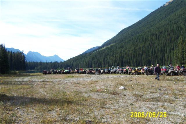
Sept.25- 28- 2006 BC Quad Trip 028.jpg

Sept.25- 28- 2006 BC Quad Trip 034.jpg
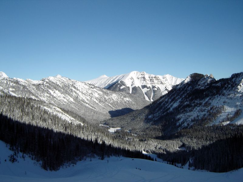
View north from the big slide
Topographic Map of Mount Harrison, East Kootenay C, BC V0B, Canada
Find elevation by address:

Places near Mount Harrison, East Kootenay C, BC V0B, Canada:
Mount Mike
Mount Hornickel
1169 Nashton Crescent
Elkford
Mount Washburn
67 Cassiar Dr
Elkford
V0b 1h0
Fording River Road
Mount Abruzzi
Mount Tuxford
Peak 09-48
Gass Sw3
Mount Veits
Courcelette Nw2
Weary Ridge
O'rourke W3
Gill Peak
Courcelette Nw3
Courcelette Peak
Recent Searches:
- Elevation of Corso Fratelli Cairoli, 35, Macerata MC, Italy
- Elevation of Tallevast Rd, Sarasota, FL, USA
- Elevation of 4th St E, Sonoma, CA, USA
- Elevation of Black Hollow Rd, Pennsdale, PA, USA
- Elevation of Oakland Ave, Williamsport, PA, USA
- Elevation of Pedrógão Grande, Portugal
- Elevation of Klee Dr, Martinsburg, WV, USA
- Elevation of Via Roma, Pieranica CR, Italy
- Elevation of Tavkvetili Mountain, Georgia
- Elevation of Hartfords Bluff Cir, Mt Pleasant, SC, USA