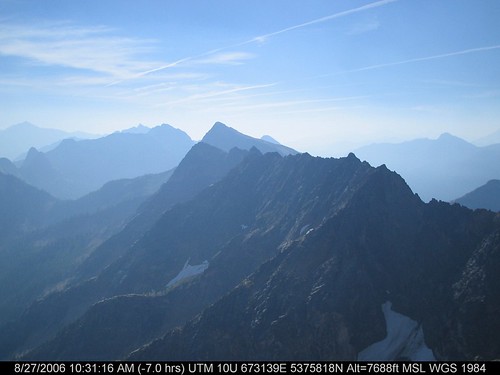
Elevation of Mount Arriva, Mt Arriva, Washington, USA

Location: United States > Washington > Skagit County >

Longitude: -120.85677

Latitude: 48.5490212

Elevation: 2397m / 7864feet

Barometric Pressure: 76KPa

Elevation Map:

elevation map of Mount Arriva, Mt Arriva, Washington, USA

Satellite Map:

Satellite map of Mount Arriva, Mt Arriva, Washington, USA

Related Photos:

trees mountains landscape outdoors washington nationalpark nikon nw peak september alpine valley pacificnorthwest wa 2012 northcascades northcascadesnationalpark easypass d90 mtlogan
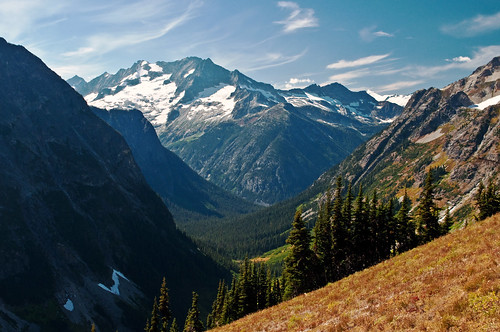
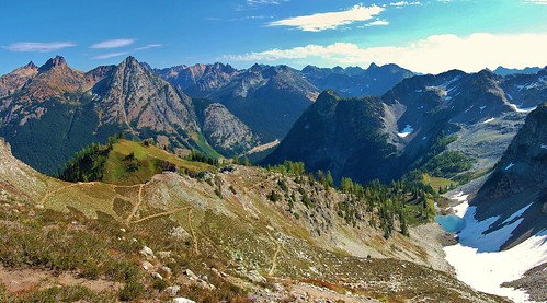
Looking Towards Logan
snow dat northcascadeshighway sr20
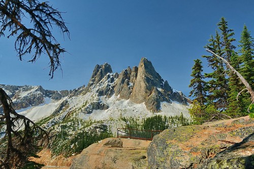
The view from Liberty Bell 3 towards Liberty Bell 1 and 2
snow dat northcascadeshighway sr20
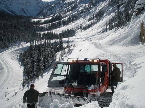
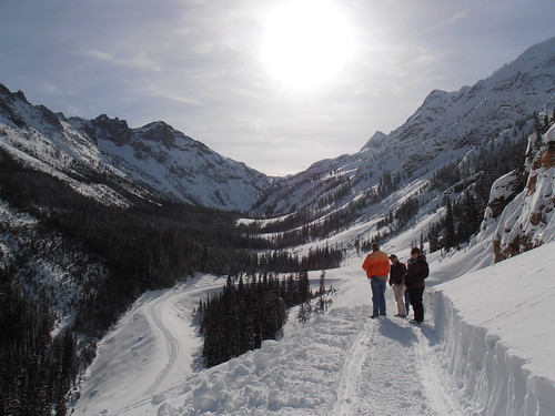
North Cascades Highway - Snow 20 feet deep at Cutthroat Ridge avalanche chutes 6, 7, 8
dat libertybell avalanches northcascadeshighway sr20
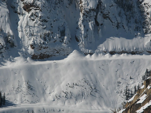
Avalanches on SR 20 below Liberty Bell
dat libertybell avalanches northcascadeshighway sr20
Avalanches on SR 20 below Liberty Bell
libertybell washingtonpass northcascadeshighway southearlywintersspire concordtower lexingtontower northearlywintersspire
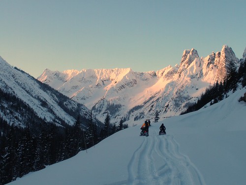
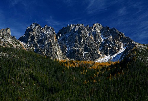
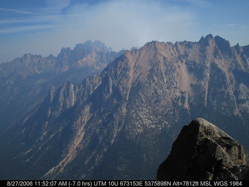
Liberty Bell Peaks
Views back down.
northcascades naturethroughthelens ruby5
North Cascade Highway
park national 1001nights larch silverstar northcascades gmt washingtonpass highway2 silverstarmountain absolutelystunningscapes
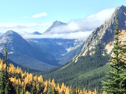
Washington Pass, North Cascades National Park
usa washington unitedstates mazama
slide1-15
winter bell north peak cascades cascade hikes mountainsnorth lakeearly highwaywashington mtlarch autumntamarack passrainy passcutthroat npblue spiresliberty pineday
Blue Lake, tamarack, Cutthroat Pk
mountain snow washington highway scenic jc northcascades avalanche
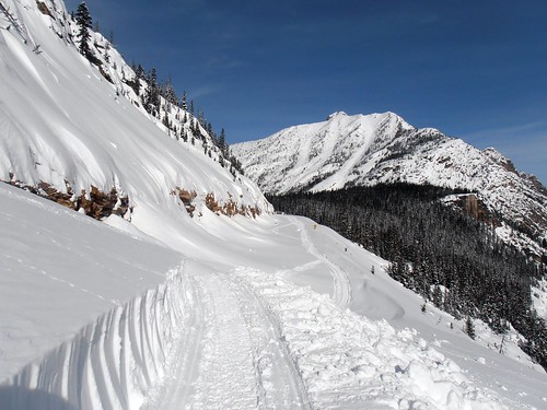
Snow and avalanches bury the highway in the Liberty Bell avalanche zone
winter bell north peak cascades cascade hikes mountainsnorth lakeearly highwaywashington mtlarch autumntamarack passrainy passcutthroat npblue spiresliberty pineday
Tamarack reflected Blue Lake
washington hc110 bronica cascades rodinal ilford fp4 standdevelopment sqai zenzanon80mmf28ps heatherandmaplepass
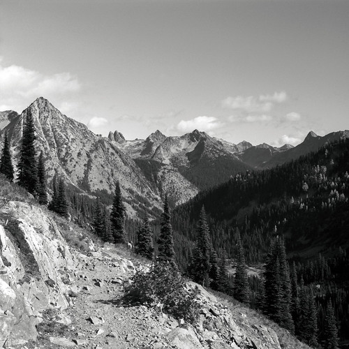
The view from here is quite nice
usa washington unitedstates mazama
slide1-04
washington unitedstates
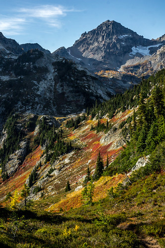
View from Maple Pass
Rainy Lake Basin
geotagged geolon1206555 geolat485123333333333
IMG_3484.JPG
geotagged geolon120655333333333 geolat485123333333333
IMG_3488.JPG
mountain snow washington highway scenic jc northcascades avalanche
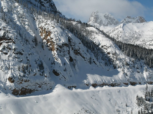
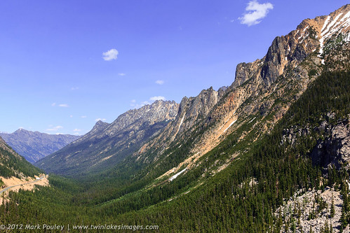
A nice view of the hairpin curve from the Liberty Bell avalanche zone
geotagged geolat485116666666667 geolon120655666666667
IMG_3453.JPG