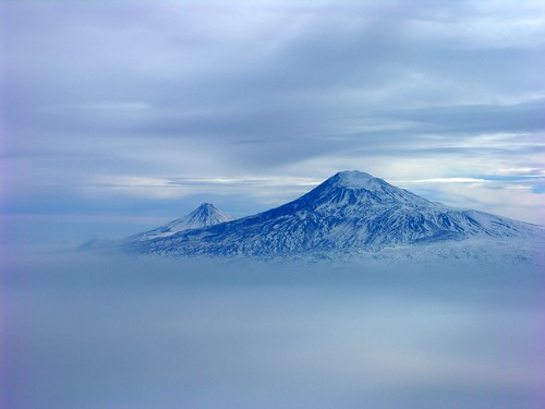
Elevation of Mount Ararat
Longitude: 44.2990761
Latitude: 39.7024393
Elevation: 5096m / 16719feet
Barometric Pressure: 53KPa
Related Photos:
Topographic Map of Mount Ararat
Find elevation by address:

Places near Mount Ararat:
Unnamed Road
Ishak Pasha Palace
Yukarıtavla Köyü
Unnamed Road
Unnamed Road
Doğubeyazıt
Unnamed Road
Doğubeyazıt
Khor Virab
Zvartnots International Airport
Vagharshapat
Ararat Province
1 Mesrop Mashtots Ave
Yerevan
Aragats
Kentron
Armenian Center For Contemporary Experimental Art
Shinararneri Street
Armavir Province
27 Sayat-nova Ave
Recent Searches:
- Elevation of Corso Fratelli Cairoli, 35, Macerata MC, Italy
- Elevation of Tallevast Rd, Sarasota, FL, USA
- Elevation of 4th St E, Sonoma, CA, USA
- Elevation of Black Hollow Rd, Pennsdale, PA, USA
- Elevation of Oakland Ave, Williamsport, PA, USA
- Elevation of Pedrógão Grande, Portugal
- Elevation of Klee Dr, Martinsburg, WV, USA
- Elevation of Via Roma, Pieranica CR, Italy
- Elevation of Tavkvetili Mountain, Georgia
- Elevation of Hartfords Bluff Cir, Mt Pleasant, SC, USA

