Elevation of Armavir Province, Armenia
Location: Armenia >
Longitude: 44.0372446
Latitude: 40.1554631
Elevation: 872m / 2861feet
Barometric Pressure: 91KPa
Elevation Map:
Satellite Map:
Related Photos:

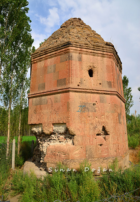
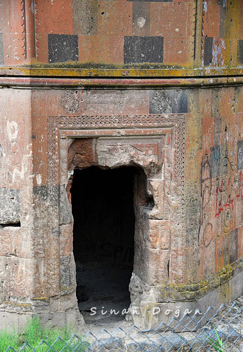
Kul Yusuf Kümbeti
Kul Yusuf Kümbeti

Kul Yusuf Kümbeti
Kul Yusuf Kümbeti

Kul Yusuf Kümbeti

Kul Yusuf Kümbeti

Kul Yusuf Kümbeti

Kul Yusuf Kümbeti

Kul Yusuf Kümbeti

Centrale nucléaire
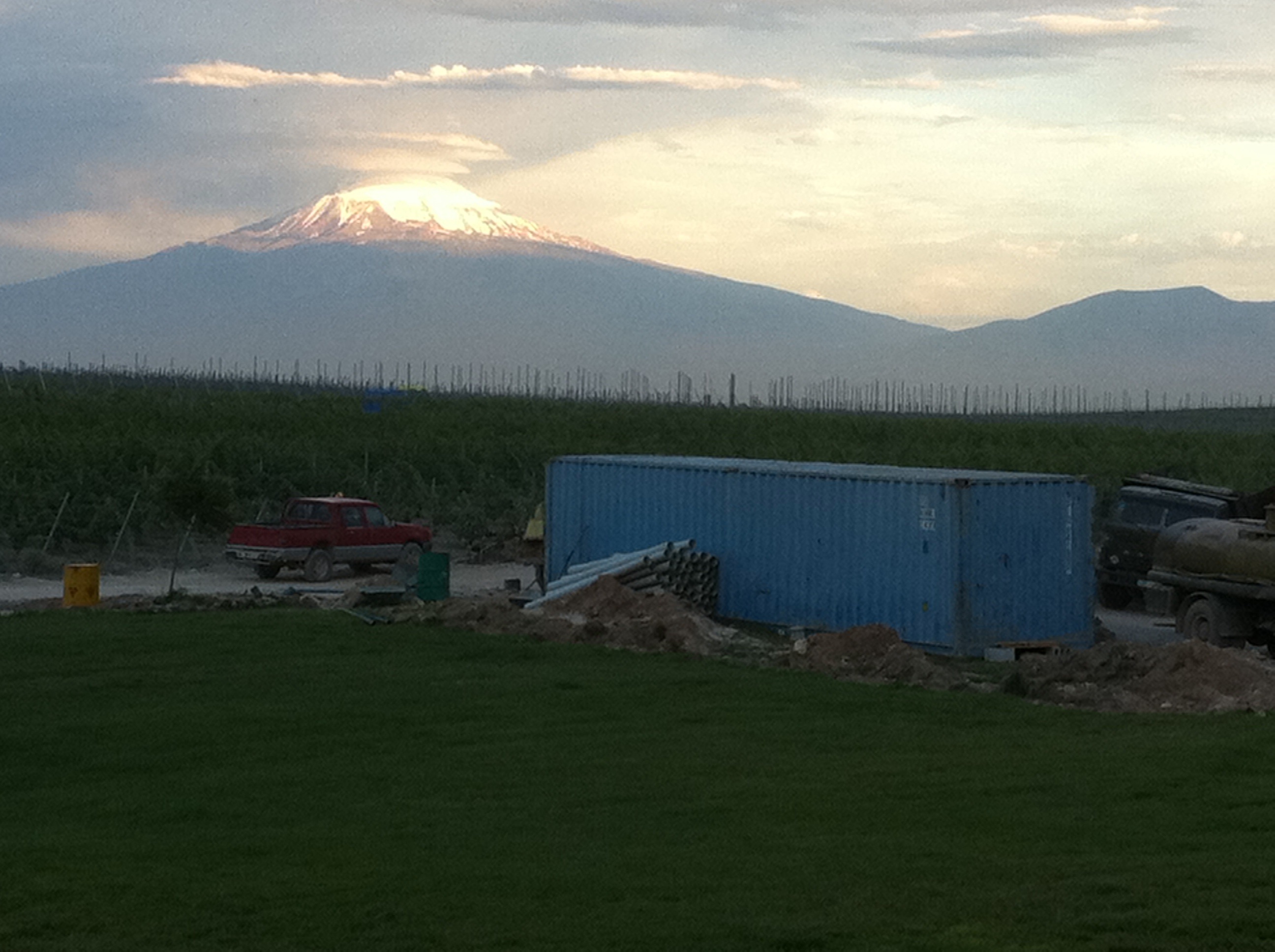
Mont Ararat
Topographic Map of Armavir Province, Armenia
Find elevation by address:

Places in Armavir Province, Armenia:
Places near Armavir Province, Armenia:
Nerkin Bazmaberd
Aragats
Ujan
Katnaghbyur
Amberd
Vagharshapat
Mastara
Ashtarak
Kari Lake
Zvartnots International Airport
Proshyan
Mount Aragats
Saghmosavank
Shinararneri Street
Yerevan
Maralik
1 Mesrop Mashtots Ave
Kentron
Antarayin
Verin Antarain
Recent Searches:
- Elevation of Corso Fratelli Cairoli, 35, Macerata MC, Italy
- Elevation of Tallevast Rd, Sarasota, FL, USA
- Elevation of 4th St E, Sonoma, CA, USA
- Elevation of Black Hollow Rd, Pennsdale, PA, USA
- Elevation of Oakland Ave, Williamsport, PA, USA
- Elevation of Pedrógão Grande, Portugal
- Elevation of Klee Dr, Martinsburg, WV, USA
- Elevation of Via Roma, Pieranica CR, Italy
- Elevation of Tavkvetili Mountain, Georgia
- Elevation of Hartfords Bluff Cir, Mt Pleasant, SC, USA