Elevation of Mastara, Armenia
Location: Armenia >
Longitude: 43.8818687
Latitude: 40.4470532
Elevation: 1743m / 5718feet
Barometric Pressure: 82KPa
Elevation Map:
Satellite Map:
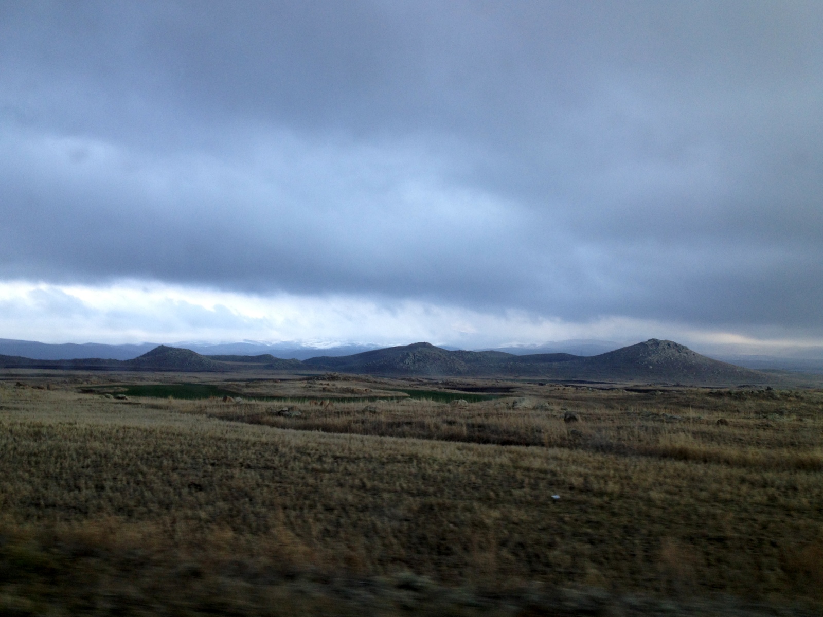
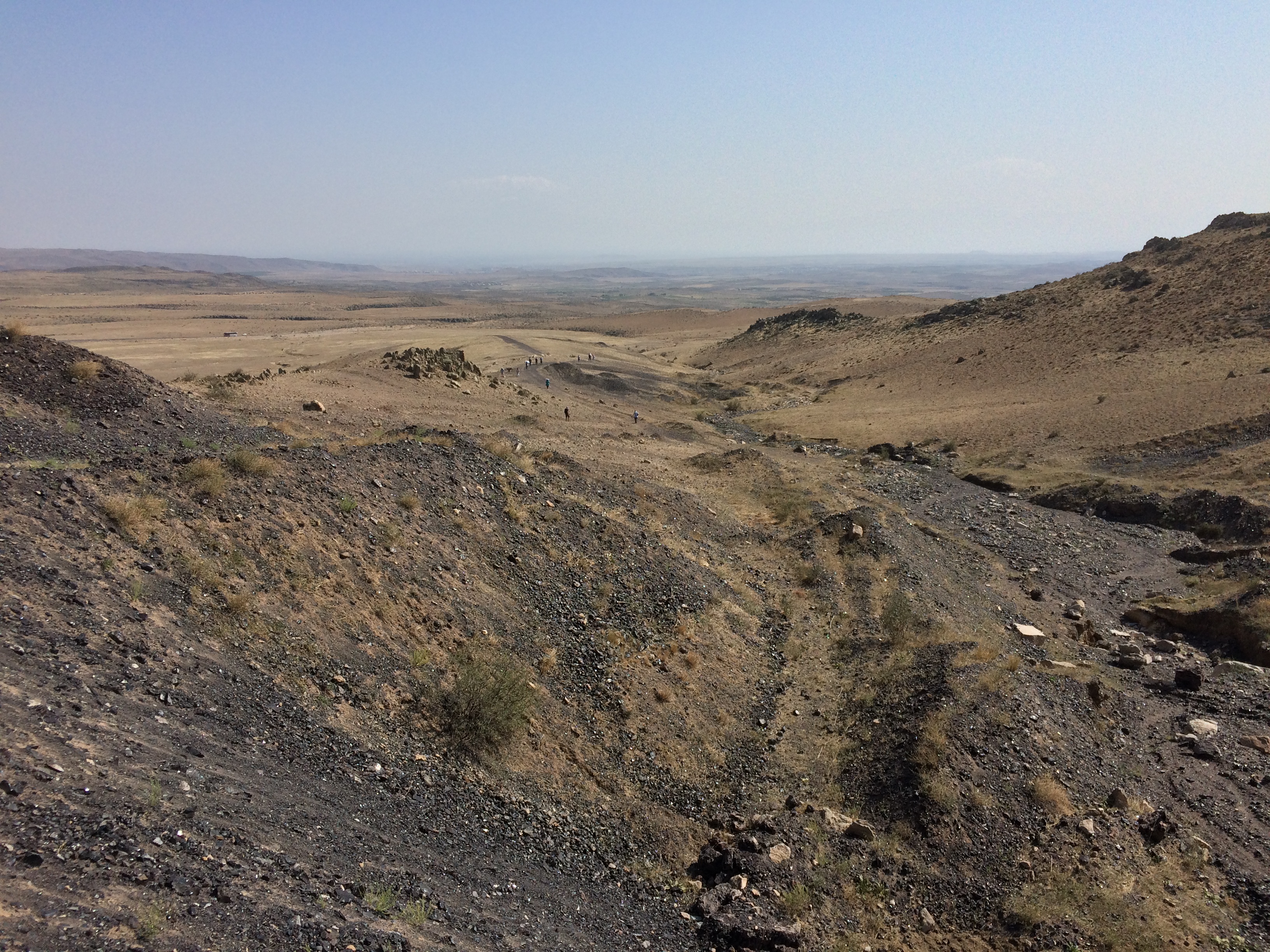
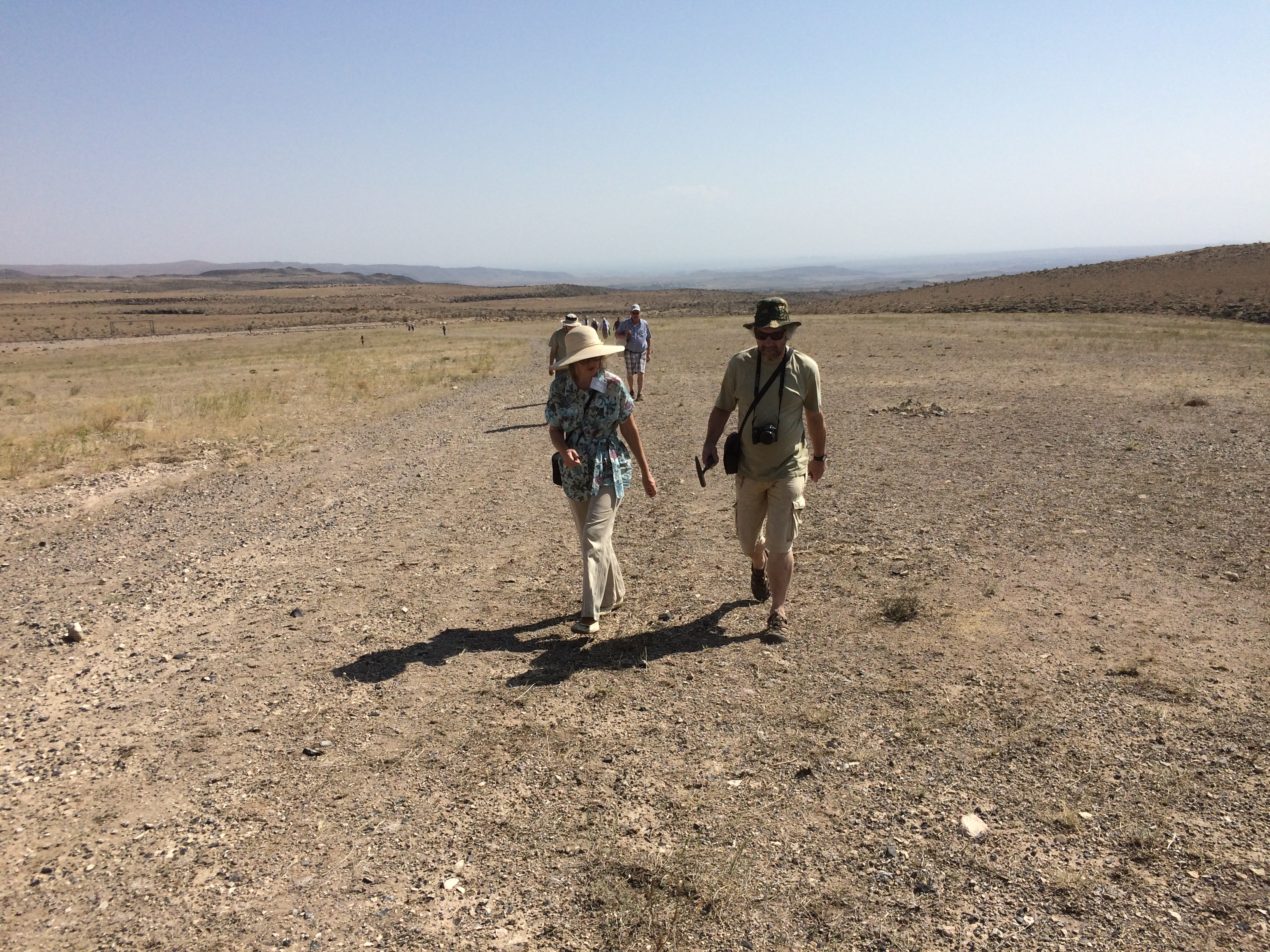
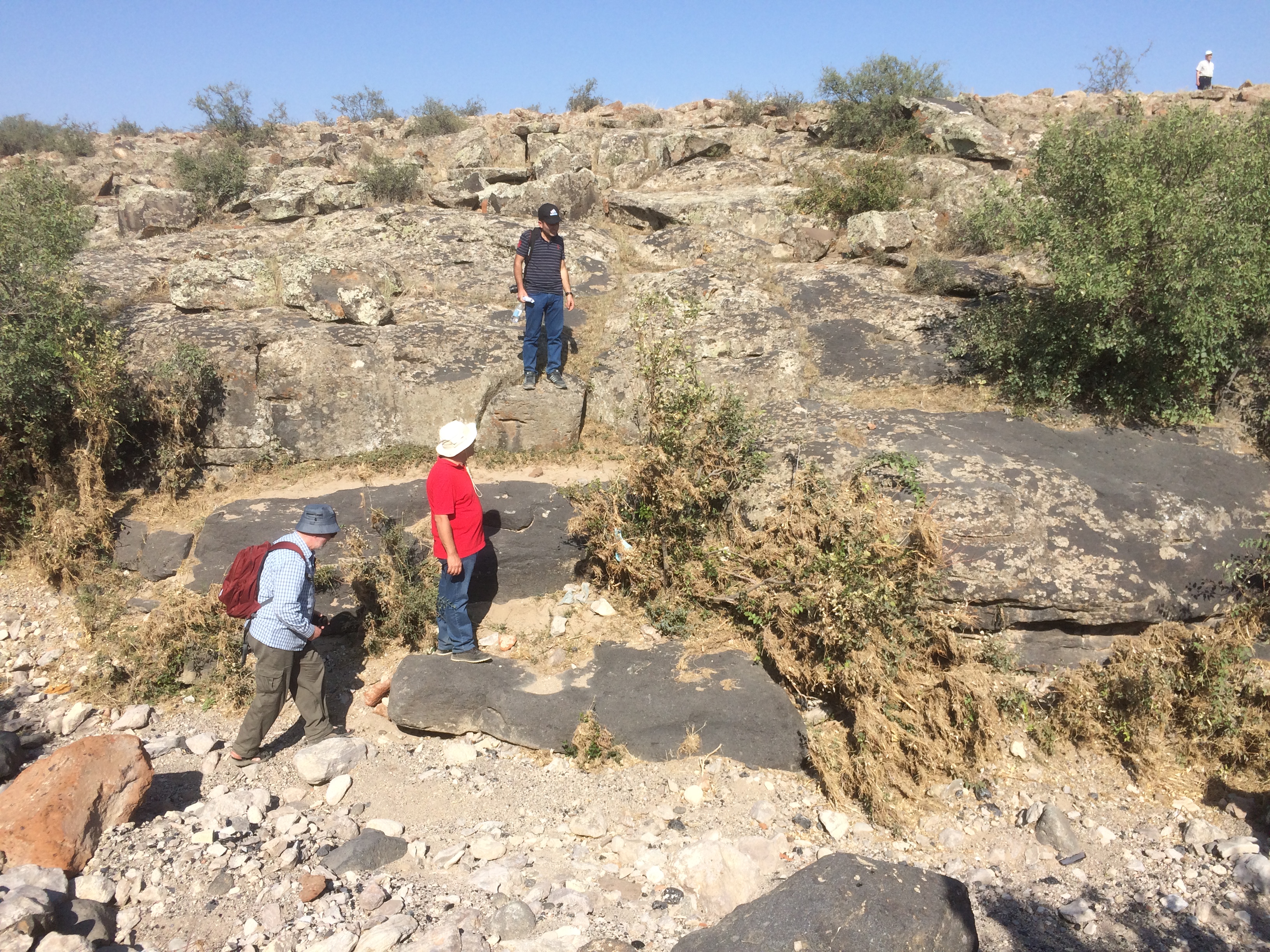
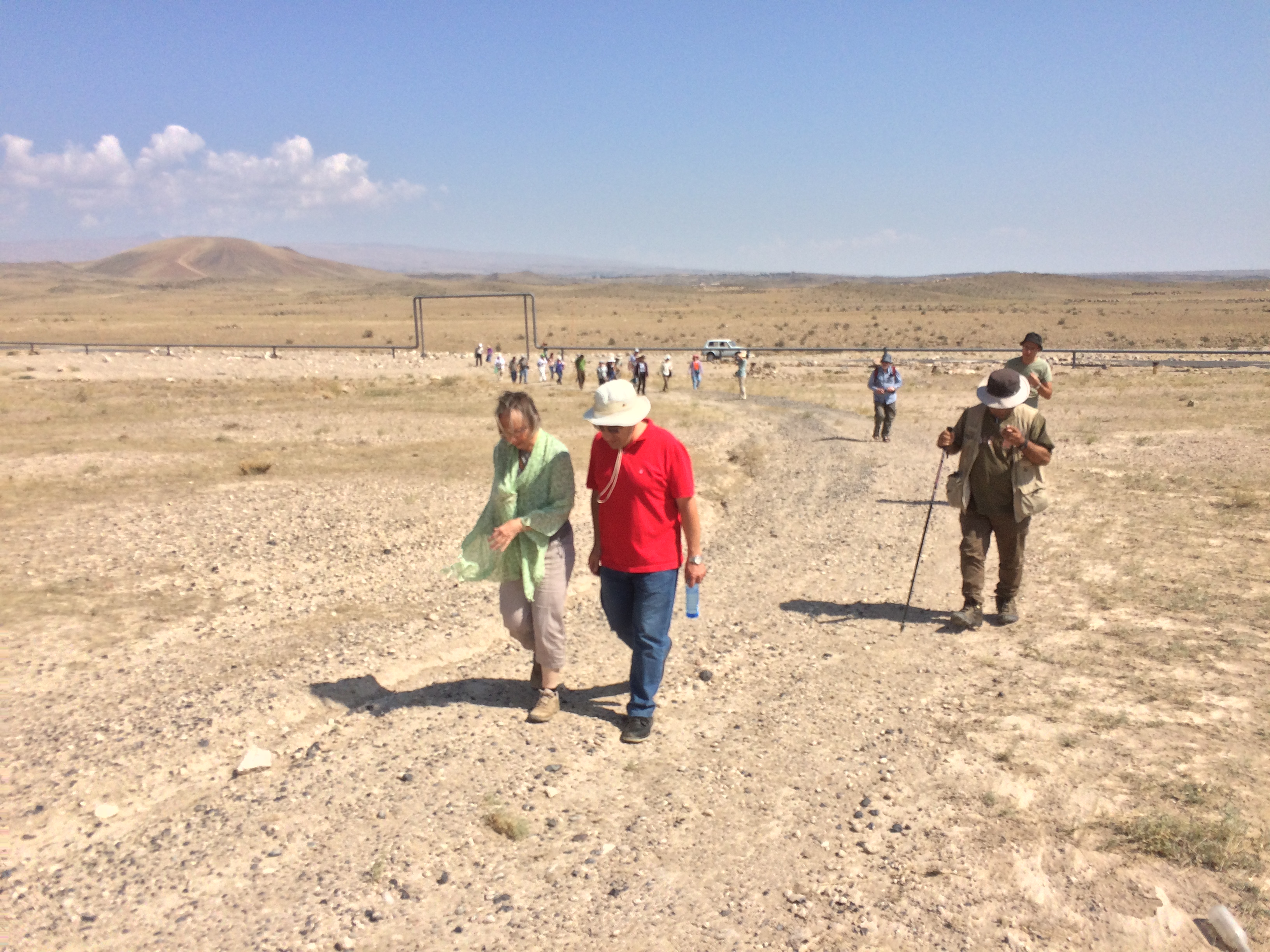
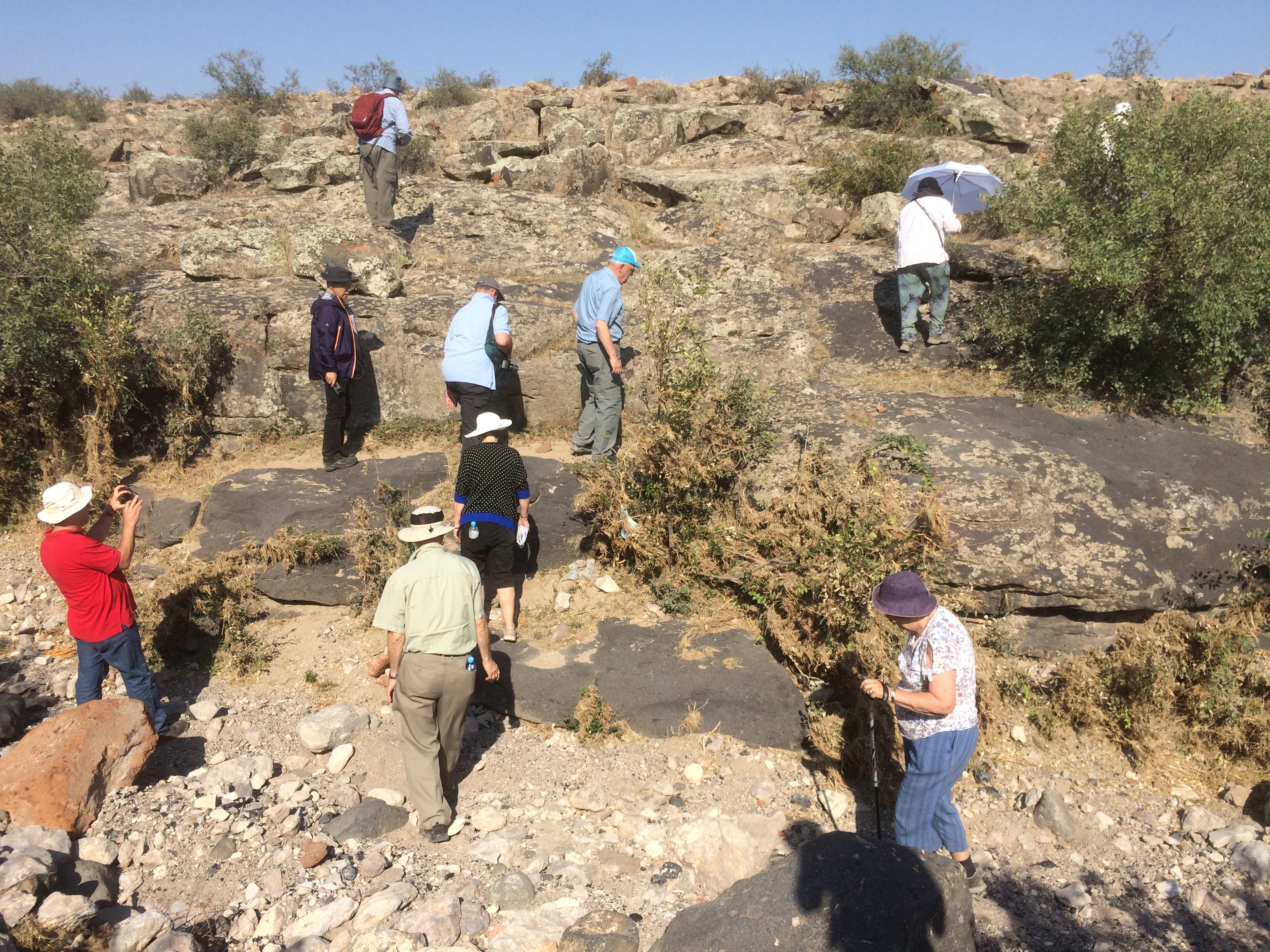
Related Photos:
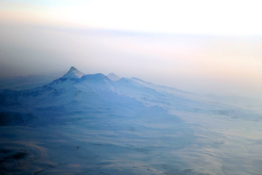
Aerial View of Mt Aragats, Armenia
IMG_4786

DSC_2660

DSC_2659

DSC_2661
IMG_9496
IMG_9478
IMG_9476
IMG_9494
DSC_2335
IMG_9479
IMG_9500

IMG_9505
IMG_9475
IMG_9504
Topographic Map of Mastara, Armenia
Find elevation by address:

Places near Mastara, Armenia:
Katnaghbyur
Maralik
Nerkin Bazmaberd
Beniamin
Kari Lake
Mount Aragats
Armavir Province
Ujan
Aragats
Amberd
Ashtarak
Vagharshapat
Saghmosavank
Proshyan
Mount Ara
Zvartnots International Airport
Shinararneri Street
Yerevan
Antarayin
1 Mesrop Mashtots Ave
Recent Searches:
- Elevation of Corso Fratelli Cairoli, 35, Macerata MC, Italy
- Elevation of Tallevast Rd, Sarasota, FL, USA
- Elevation of 4th St E, Sonoma, CA, USA
- Elevation of Black Hollow Rd, Pennsdale, PA, USA
- Elevation of Oakland Ave, Williamsport, PA, USA
- Elevation of Pedrógão Grande, Portugal
- Elevation of Klee Dr, Martinsburg, WV, USA
- Elevation of Via Roma, Pieranica CR, Italy
- Elevation of Tavkvetili Mountain, Georgia
- Elevation of Hartfords Bluff Cir, Mt Pleasant, SC, USA