Elevation of Mosquito Lake Rd, Deming, WA, USA

Location: United States > Washington > Whatcom County > Deming >

Longitude: -122.12515

Latitude: 48.753872

Elevation: 209m / 686feet

Barometric Pressure: 99KPa

Elevation Map:

elevation map of Mosquito Lake Rd, Deming, WA, USA

Satellite Map:

Satellite map of Mosquito Lake Rd, Deming, WA, USA
Related Photos:

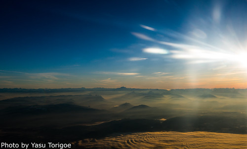
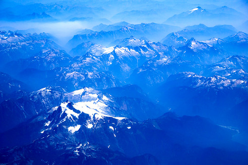
sunriseviewovernorthernwashingtonstatehighlightingthepea acme washington unitedstates us sunriseviewovernorthernwashingtonstatehighlightingthepeaksofcascademountainsjustvisibleoverthemorningfogairplaneviewtakensouthofbellinghamwashingtonusa
Sunrise over coast of Washington State-8
sunriseviewovernorthernwashingtonstatehighlightingthepea acme washington unitedstates us sunriseviewovernorthernwashingtonstatehighlightingthepeaksofcascademountainsjustvisibleoverthemorningfogairplaneviewtakensouthofbellinghamwashingtonusa
Sunrise over coast of Washington State-9
Territorial Views
twinsistersbakercanyonlakewelcome twin sisters olivine middlefork nooksack canyonlake nikon
Twin Sisters from the North
Territorial Views
voyage old trip travel blue abandoned town ghost unfound canyon journey ghosttown quest bluecanyon needsdescription
2006-08-07_17-37-47 copy.jpg
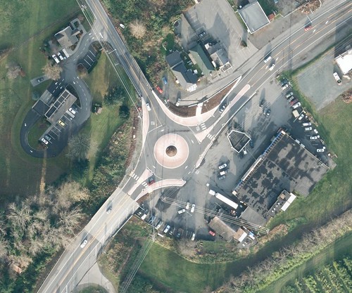
roundabout aerial dat deming sr9 nugentscorner sr542 mountbakerhighway
SR 542, SR 9 roundabout in Deming
voyage old trip travel blue abandoned town ghost unfound canyon journey ghosttown quest bluecanyon needsdescription
2006-08-07_17-15-36 copy.jpg
voyage old trip travel blue abandoned town ghost unfound canyon journey ghosttown quest bluecanyon needsdescription
2006-08-07_16-06-01 copy.jpg
voyage old trip travel blue abandoned town ghost unfound canyon journey ghosttown quest bluecanyon needsdescription
2006-08-07_16-56-24 copy.jpg
voyage old trip travel blue abandoned town ghost unfound canyon journey ghosttown quest bluecanyon needsdescription
2006-08-07_16-09-59 copy.jpg
voyage old trip travel blue abandoned town ghost unfound canyon journey ghosttown quest bluecanyon needsdescription
2006-08-07_15-47-56 copy.jpg
voyage old trip travel blue abandoned town ghost unfound canyon journey ghosttown quest bluecanyon needsdescription
2006-08-07_17-21-30 copy.jpg
voyage old trip travel blue abandoned town ghost unfound canyon journey ghosttown quest bluecanyon needsdescription
2006-08-07_16-15-00 copy.jpg
voyage old trip travel blue abandoned town ghost unfound canyon journey ghosttown quest bluecanyon needsdescription
2006-08-07_16-17-17 copy.jpg
voyage old trip travel blue abandoned town ghost unfound canyon journey ghosttown quest bluecanyon needsdescription
2006-08-07_16-55-43 copy.jpg
voyage old trip travel blue abandoned town ghost unfound canyon journey ghosttown quest bluecanyon needsdescription
2006-08-07_15-49-05 copy.jpg
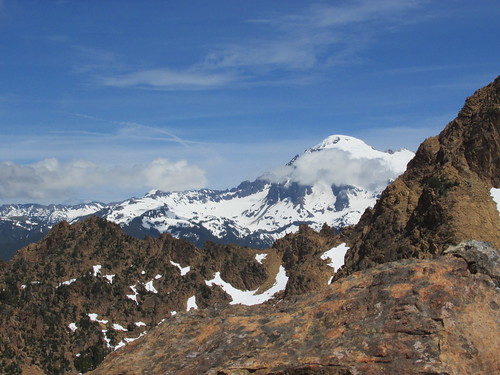
mountain washington hiking cascades scrambling brewexplore
Lincoln Peak
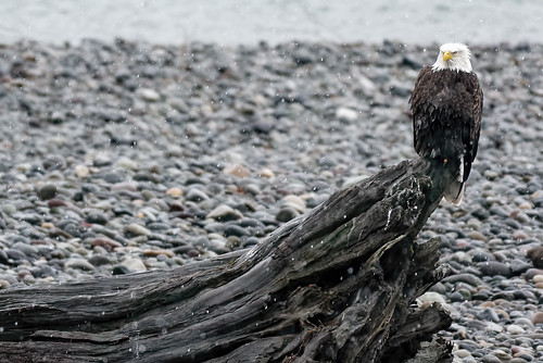
Bald Eagle Immature/Adult
trees winter panorama snow mountains clouds washington peaks mtbaker twinsisters highway9
Mt. Baker and Twin Sisters pano
voyage old trip travel blue abandoned town ghost unfound canyon journey ghosttown quest bluecanyon needsdescription pss:opd=1155081904
2006-08-07_17-05-04 copy.jpg
mountains northcascadesnationalpark mountainrange trees cloudy summerday sceniclandscape nature beauty green
IMG_4242.sm
baldeagle deming mosquitolakeroadbridge usa unitedstates washington salmonwatch eagle birds river snow wildlife animal nature landscape mosquitolakeroad nikon 200500 d750 nikond750 nikon200500 bird
Salmon Watch
road lake creek eclipse baker grouse glacier ridge squalicum zingpix
Photographer At Work: Zingpix
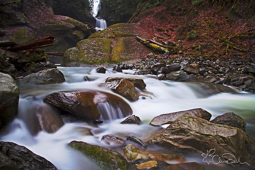
autumn trees winter wild plants creek waterfall washington state pacific northwest january falls evergreen waterfalls chase wilderness racehorse dekker
Post-Time at Racehorse Falls
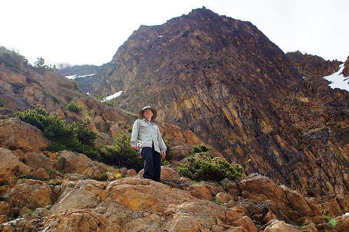
washington hiking whatcomcounty jbrew
Me botanizing at North Twin Sister
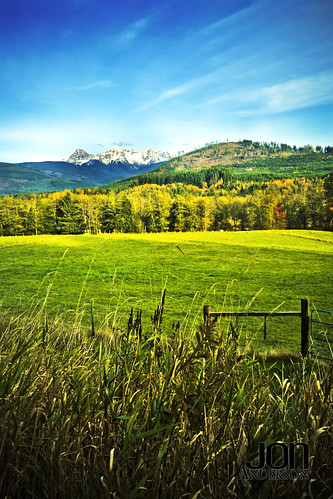
blue trees sky mountain green fall field grass sisters fence washington mt state sony twin 330 alpha tamronspaf2040mmf2735if
Twin Sisters...
blue trees sky usa mountain mountains forest landscape geotagged us washington mt baker unitedstates hill unfound 2006 hills mount cascades wa mountbaker mtbaker cedarville whatcom nooksack davewardsmaragd nugentscorner geo:lon=122291457 geo:lat=48842258 pss:opd=1154944055
Mt. Baker from Nugent's Corner
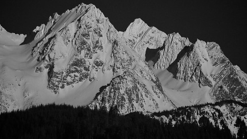
twinsistersbakerwickershamacmesaxon twin sisters bw acme wickersham southfork nooksack olympus 50200mm
2011-02-19 at 16-23-35
peaceonearthorg aerial washington northerncascades
Aerial View of Northern Cascades WA
waterfall pacificnorthwest whatcomcounty racehorsecreek
Racehorse Creek
North Branch Nooksack River
nature water creek outdoors waterfall washington scenery baker hiking acme whatcom
A Very Hard Scrabble
summertime summer building farmhouse farm iphoneography blogrodent richtatum rich tatum iphone flowers everson pnw pasture pacificnorthwest mtbakerhighway washington nature
Field of Greens.
water beautiful rock forest river washington northwest waterfalls pacificnorthwest
Racehorse Falls
My Photography Environment
camera emtbike ebike goldenhour squalicumimages bay bellingham
Bellingham Bay: Lummi, and Orcas Islands
squalicum bellingham images olsencreek ebike luna camera whatcom vancouverisland langley
Squalicum Valley to Langley and beyond