Elevation of Moriarty, NM, USA
Location: United States > New Mexico > Torrance County >
Longitude: -106.04918
Latitude: 34.9900503
Elevation: 1896m / 6220feet
Barometric Pressure: 81KPa
Elevation Map:
Satellite Map:
Related Photos:
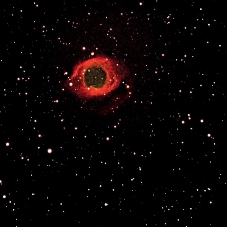
Helix Nebula
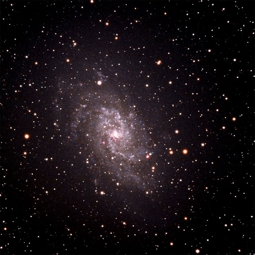
Triangulum Galaxy
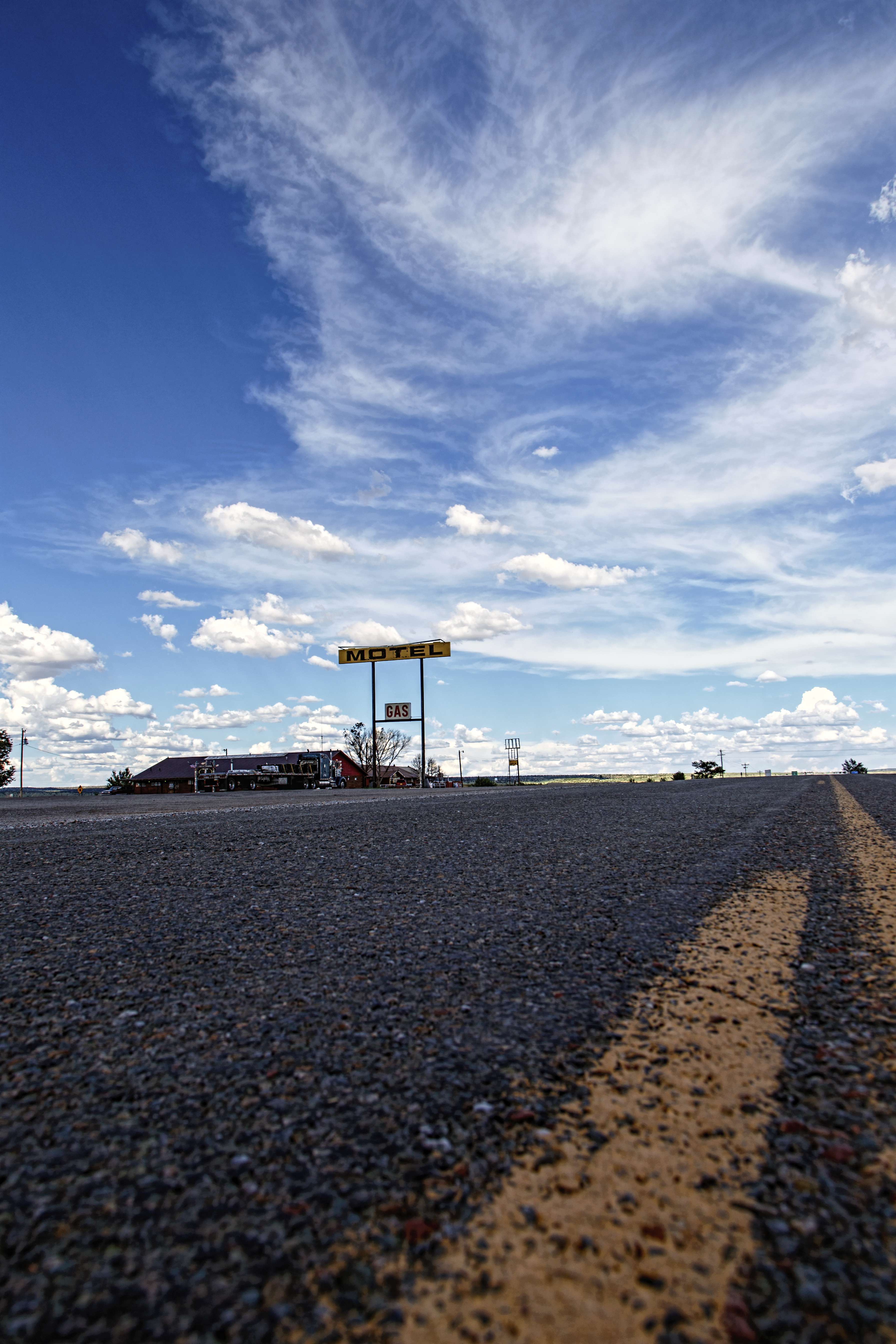
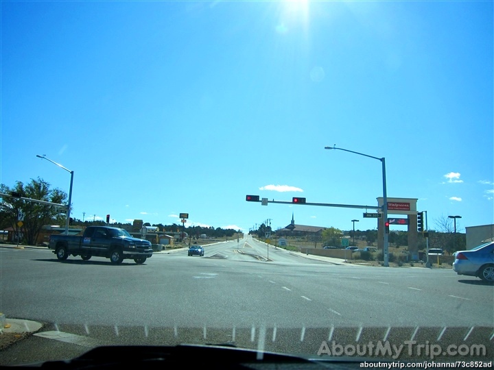
Motel at 203
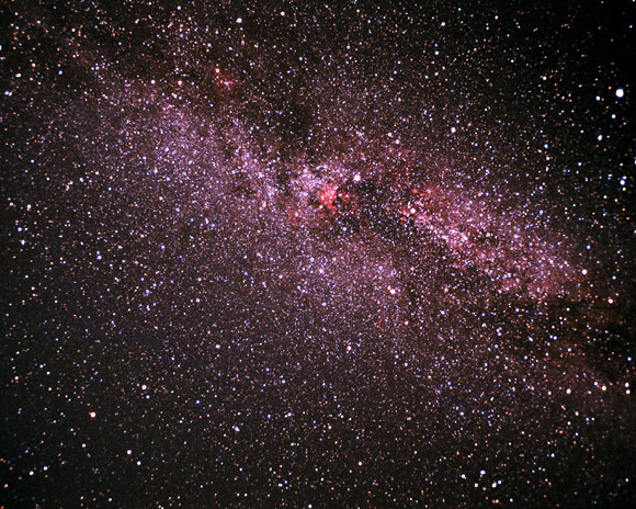
Cygnus (Wide Field)
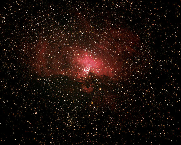
Eagle Nebula
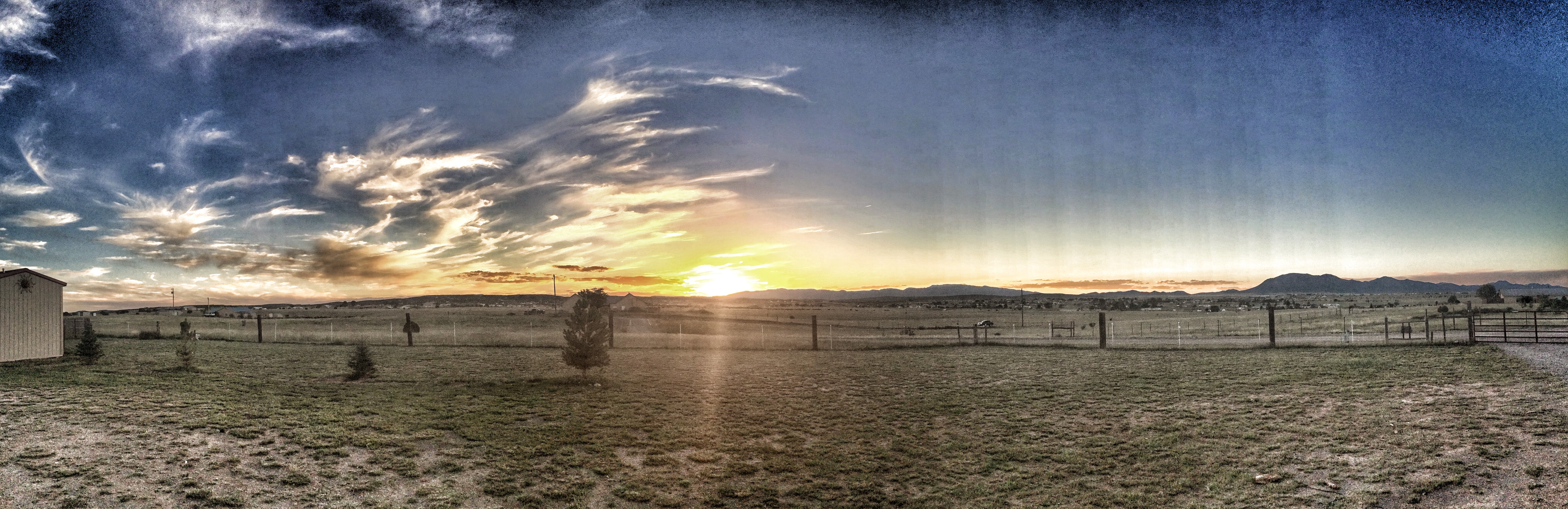
Sunset - Edgewood, NM
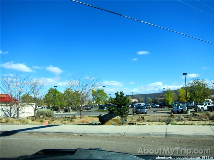
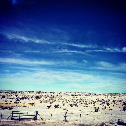
New Mexico
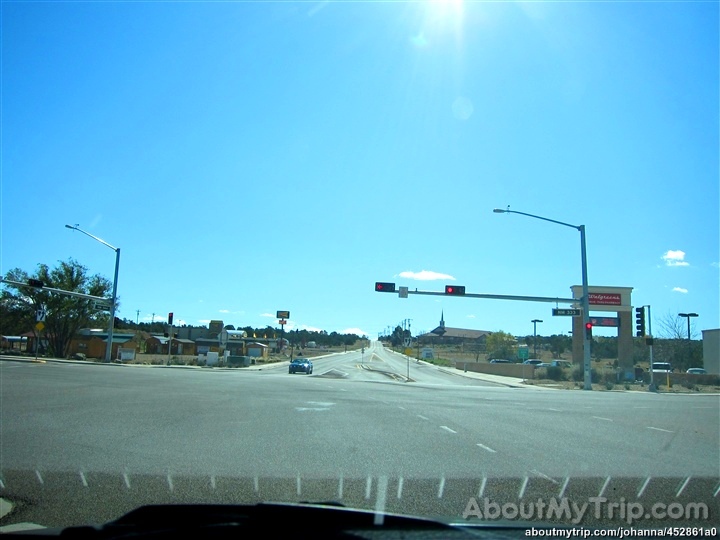
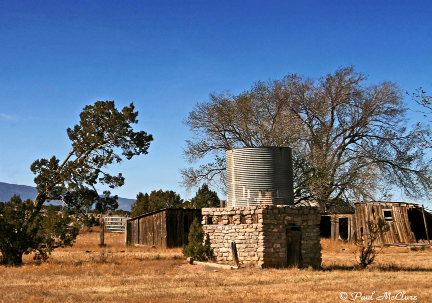
New Mexico
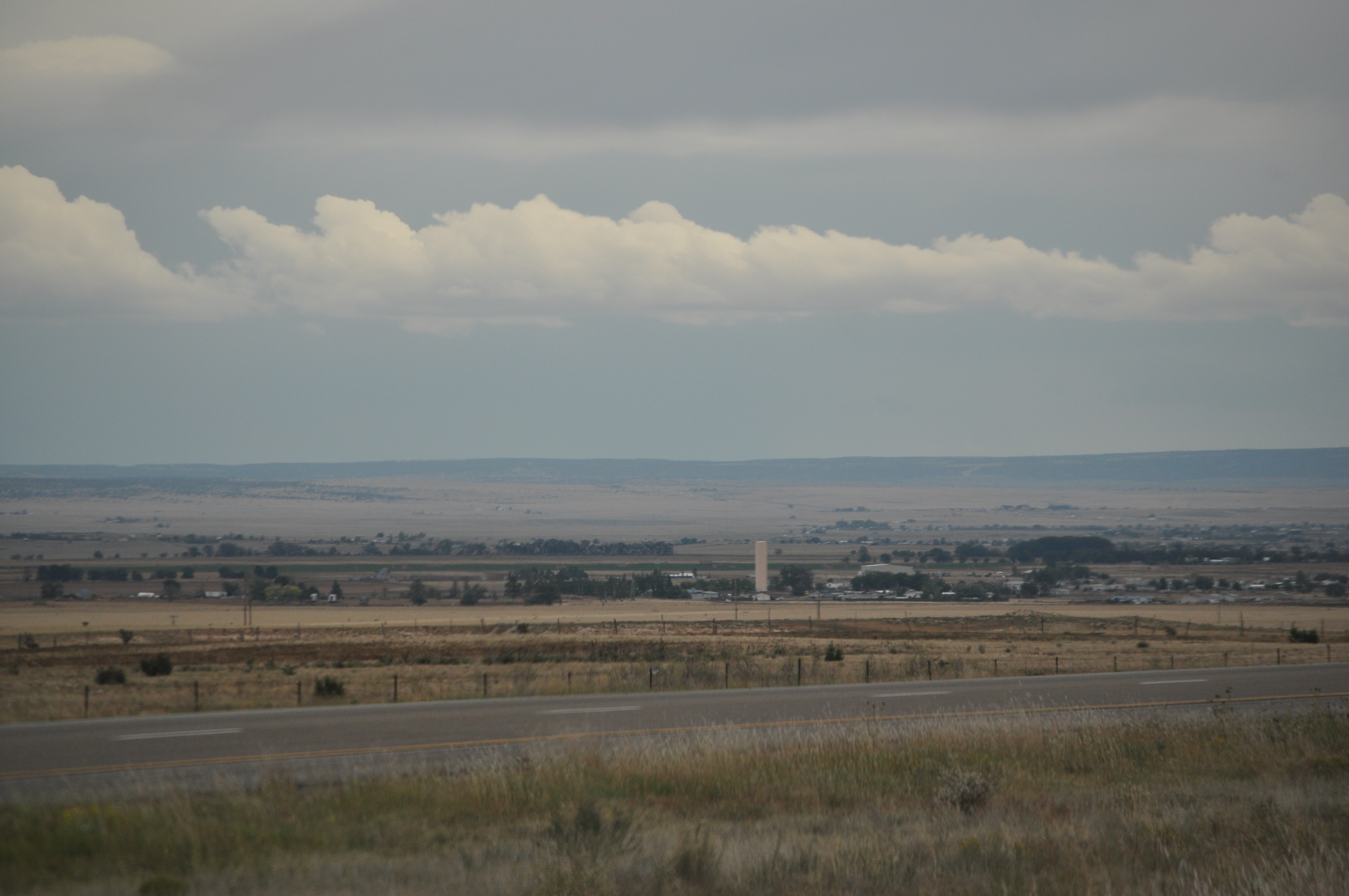
New Mexico
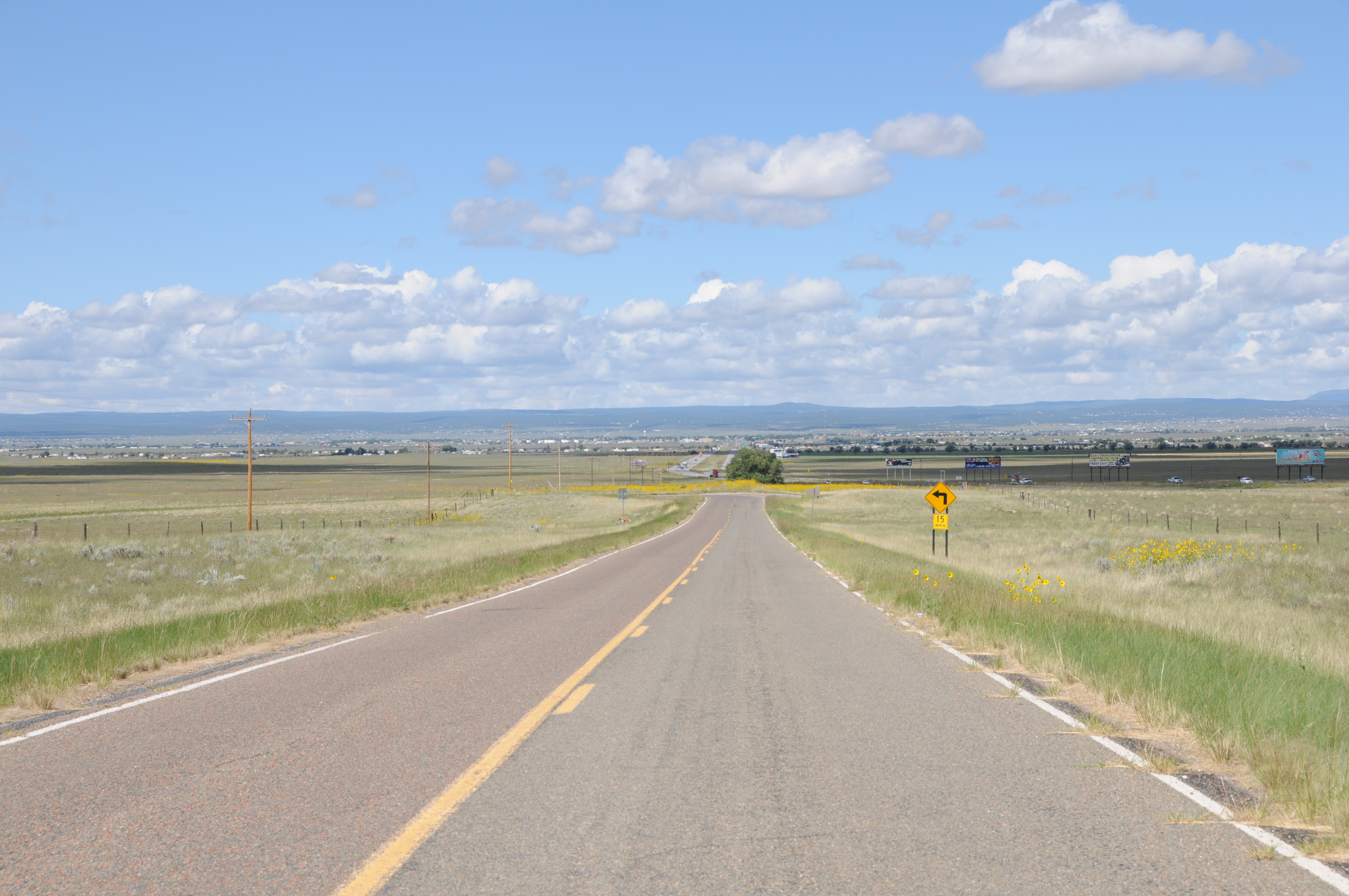
New Mexico

New Mexico
On the road to CA. #mountains #clouds #openroad

#beautiful #sunset #rainstorm #rain #lightbeam #weather #clouds #storm #bicoastal #crosscountry #roadtrip #california to #georgia #driving #america

Road Trip 201212060017
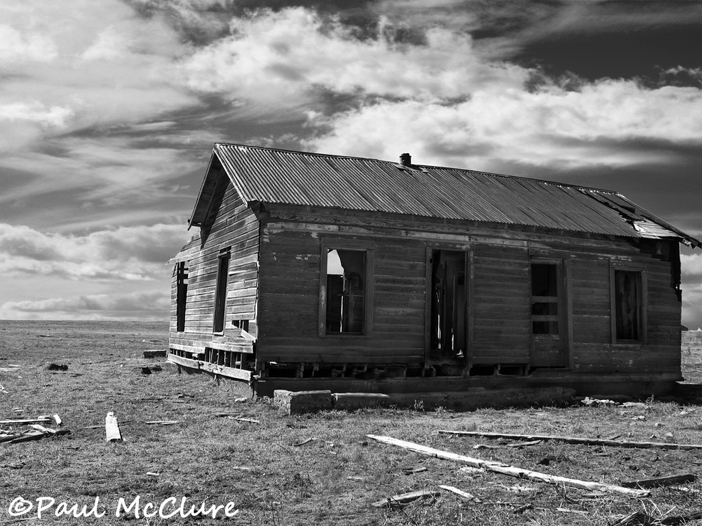
Dinkle house

Big sky over the Sandias.
#TravelMyPlanet to #Albuquerque and enjoying the #landscape @herrerafluis #traveler
Edgewood Homestead

Truck_090711_LR-29.jpg
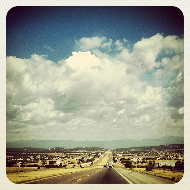
I-40 East New Mexico (48)

Aerial Photography Airplane Fly New Mexico Desert IMG_2806

Aerial Photography Airplane Fly New Mexico Desert IMG_2808
ROUTE66_2010_1113 - MORIARTY NM

Landscape_090711_LR-30.jpg

Aerial Photography Airplane Fly New Mexico Desert IMG_2807
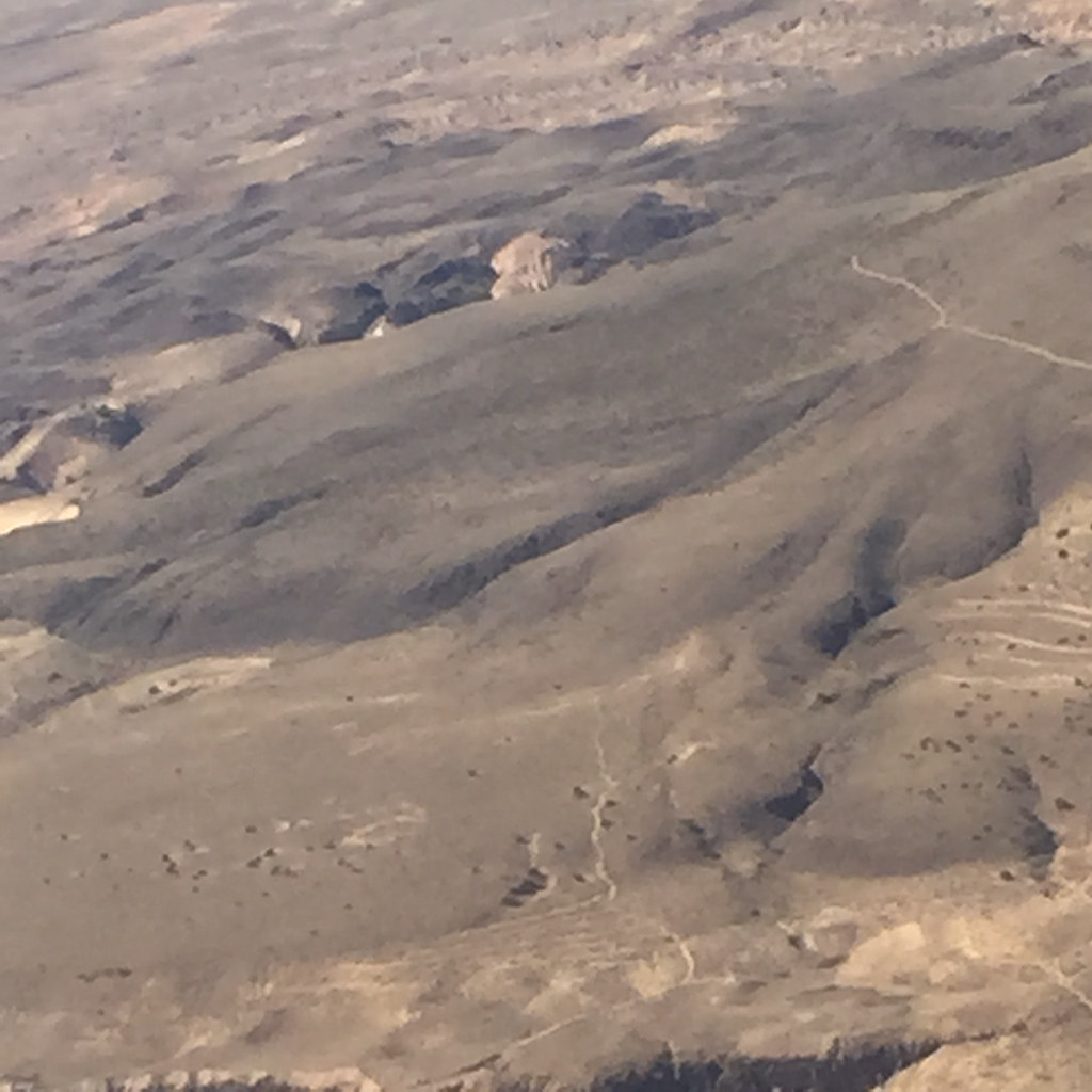
Aerial Photography Airplane Fly New Mexico Desert IMG_2804
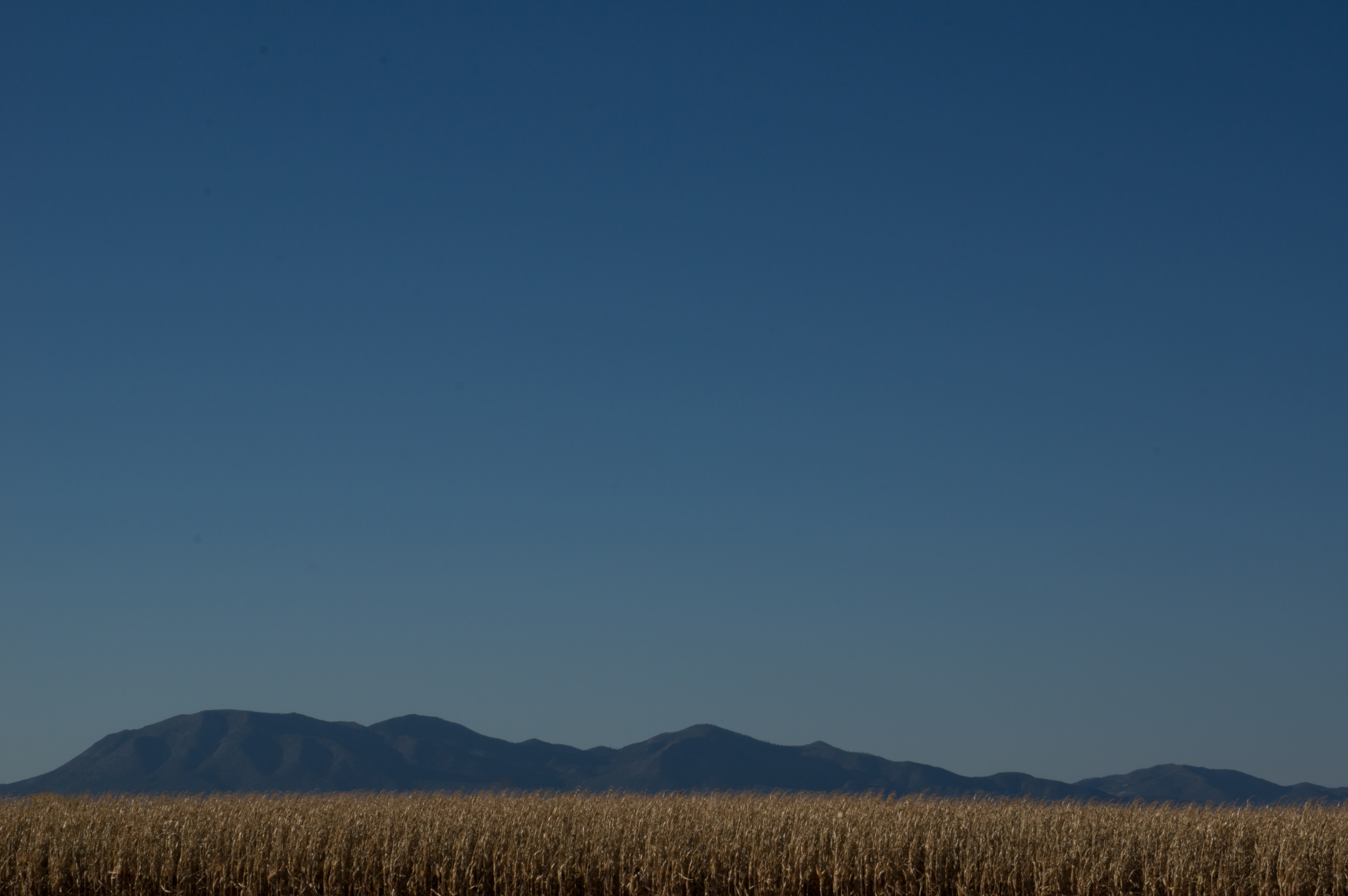
Cornfield with Mountains
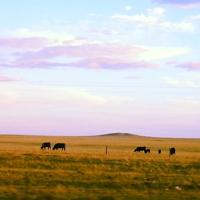
#cows #country #NewMexico

high plains nm

Aerial Photography Airplane Fly New Mexico Desert IMG_2809
Topographic Map of Moriarty, NM, USA
Find elevation by address:

Places in Moriarty, NM, USA:
Places near Moriarty, NM, USA:
Moriarty, NM, USA
NM-, Moriarty, NM, USA
47 King Farm Rd
321 Madrid Ave
1815 Nm-333
28 Co Rd 6a
9 Co Rd 6A, Stanley, NM, USA
Dinkle Rd, Stanley, NM, USA
966 Co Rd 8
Baldy
4 Richardson Rd
Dinkle Rd, Edgewood, NM, USA
349 E Venus Rd
Montano Ranch Rd, Tijeras, NM, USA
8 Oak Rd
25 Quail Run E
30 Turner Ridge Rd
5 Hope Ct
34 Blue Mule Dr
Edgewood
Recent Searches:
- Elevation of Corso Fratelli Cairoli, 35, Macerata MC, Italy
- Elevation of Tallevast Rd, Sarasota, FL, USA
- Elevation of 4th St E, Sonoma, CA, USA
- Elevation of Black Hollow Rd, Pennsdale, PA, USA
- Elevation of Oakland Ave, Williamsport, PA, USA
- Elevation of Pedrógão Grande, Portugal
- Elevation of Klee Dr, Martinsburg, WV, USA
- Elevation of Via Roma, Pieranica CR, Italy
- Elevation of Tavkvetili Mountain, Georgia
- Elevation of Hartfords Bluff Cir, Mt Pleasant, SC, USA