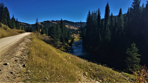
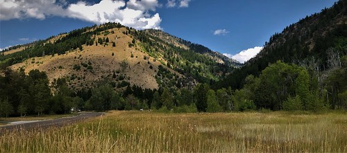
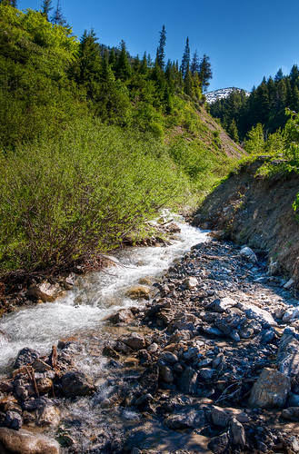
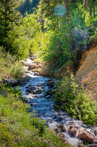
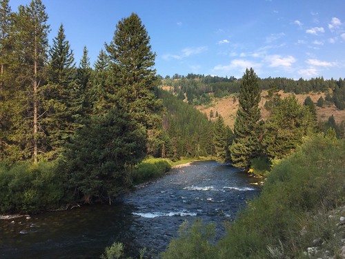
Elevation of Moose Flat Campground, Bridger Teton National Forest, Forest Rd, Alpine, WY, USA
Longitude: -110.76998
Latitude: 42.9725049
Elevation: 1957m / 6421feet
Barometric Pressure: 80KPa
Related Photos:
Topographic Map of Moose Flat Campground, Bridger Teton National Forest, Forest Rd, Alpine, WY, USA
Find elevation by address:

Places near Moose Flat Campground, Bridger Teton National Forest, Forest Rd, Alpine, WY, USA:
Murphy Creek Campground
Forest Park Campground
Bedford-Turnerville Rd, Bedford, WY, USA
47 Last Chance Cir
180 Turnerville Rd
Star Valley Ranch
227 Spurwood Dr
67 Walnut Dr
240 South Forest
Muddy String Co Road 117
Star Valley Ranch, WY, USA
125 Tumbleweed Ln
246 Brambleberry Dr
Thayne
County Road
102295 Us-89
Grover
Horse Mountain
Etna
Bridge Campground
Recent Searches:
- Elevation of Congressional Dr, Stevensville, MD, USA
- Elevation of Bellview Rd, McLean, VA, USA
- Elevation of Stage Island Rd, Chatham, MA, USA
- Elevation of Shibuya Scramble Crossing, 21 Udagawacho, Shibuya City, Tokyo -, Japan
- Elevation of Jadagoniai, Kaunas District Municipality, Lithuania
- Elevation of Pagonija rock, Kranto 7-oji g. 8"N, Kaunas, Lithuania
- Elevation of Co Rd 87, Jamestown, CO, USA
- Elevation of Tenjo, Cundinamarca, Colombia
- Elevation of Côte-des-Neiges, Montreal, QC H4A 3J6, Canada
- Elevation of Bobcat Dr, Helena, MT, USA


