Elevation of Forest Park Campground, Forest Rd, Kelly, WY, USA
Longitude: -110.68952
Latitude: 42.8318691
Elevation: 2120m / 6955feet
Barometric Pressure: 78KPa
Elevation Map:
Satellite Map:
Related Photos:

View east to the Wyoming Range from the Salt River Range

another view of the Wyoming Range

blue sky and clouds above Mt McDougal in the Wyoming Range

Lake Barstow drains into North Three Forks Creek and eventually Greys River

the headwaters of Sheep Creek, it eventually finds its way to Greys River

Lake Barstow panorama

a hiker on the Wyoming National Recreation Trail, Mt McDougal in the distance

old two tracks on the way to Lake Barstow
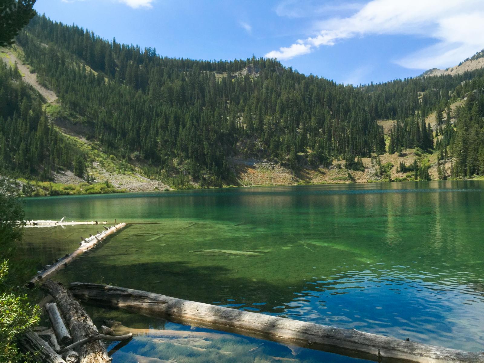
Relaxing afternoon at Lake Barstow

the old two track to Lake Barstow with Rock Lake Peak in the distance

Mt McDougal, Wyoming Range

a hint of a trail in the Wyoming Range

old road to Lake Barstow
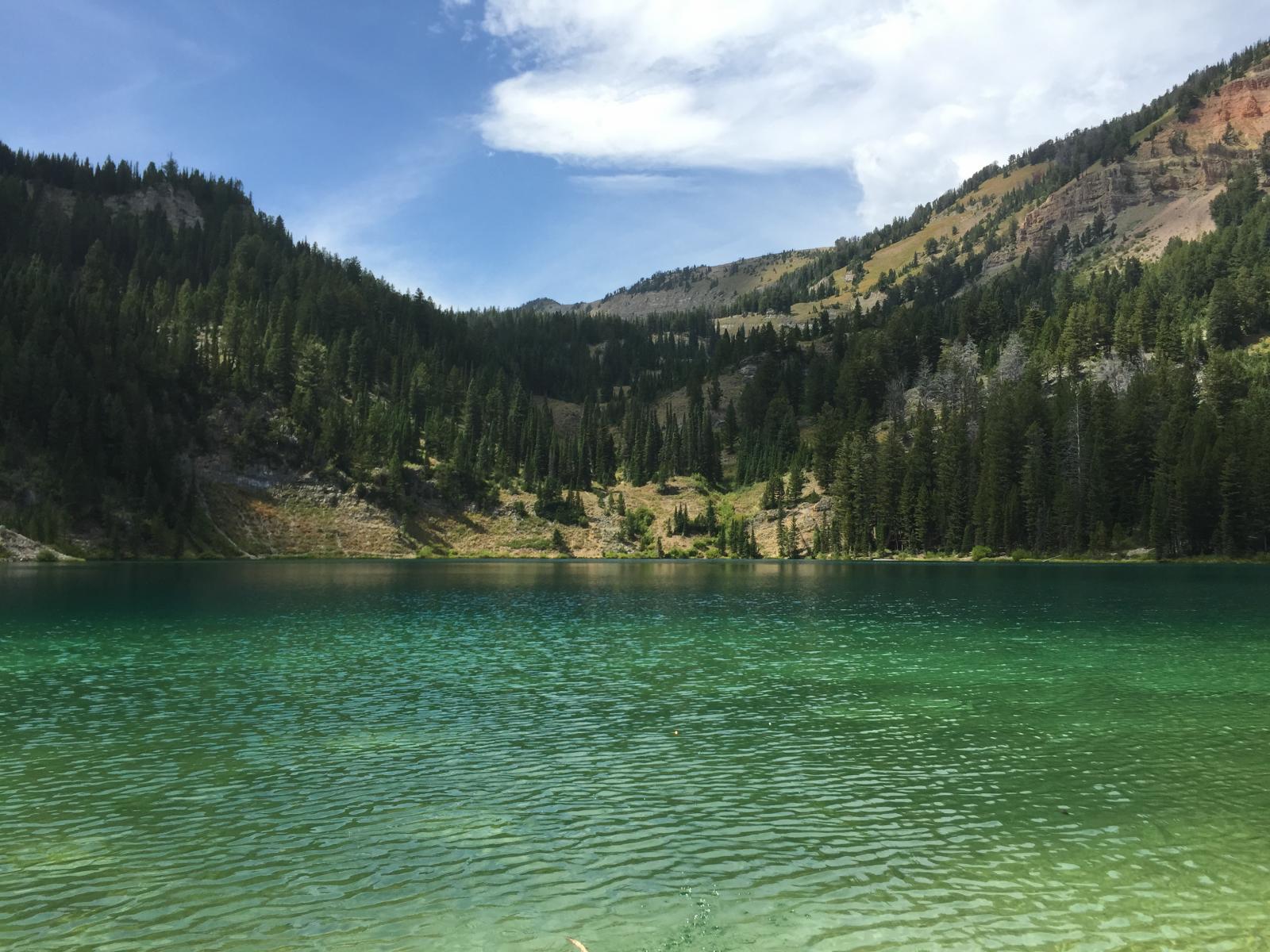
quiet afternoon at Lake Barstow

another Wyoming Range panorama

Lake Barstow panorama

Rock Lake Peak stands above Lake Barstow
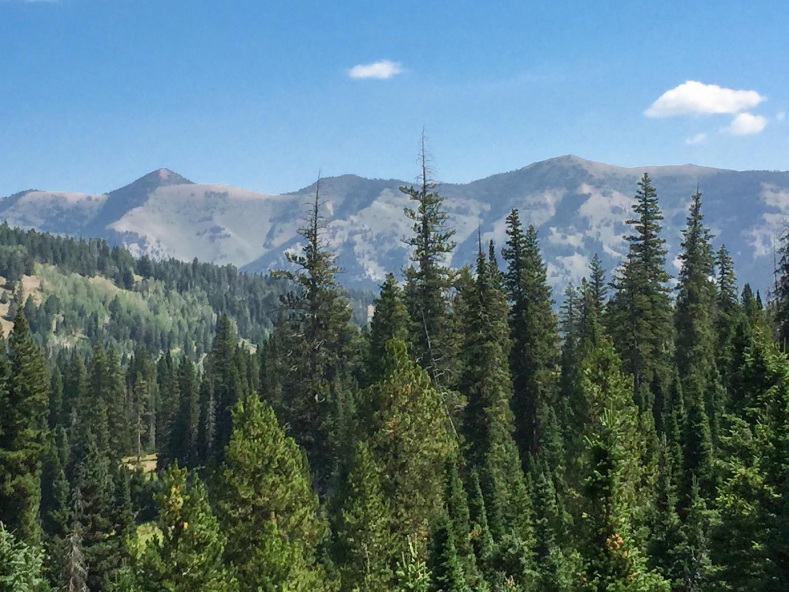
looking back over Greys River at the Wyoming Range

Looking down Sheep Creek towards Mt McDougal

descending the Wyoming National Recreation Trail above Sheep Creek, Mt McDougal in the distance

Calm water in Lake Barstow
Topographic Map of Forest Park Campground, Forest Rd, Kelly, WY, USA
Find elevation by address:

Places near Forest Park Campground, Forest Rd, Kelly, WY, USA:
Moose Flat Campground
Bedford-Turnerville Rd, Bedford, WY, USA
Horse Mountain
Grover
180 Turnerville Rd
Afton
838 Washington St
Murphy Creek Campground
WY-, Afton, WY, USA
County Road
47 Last Chance Cir
Star Valley Ranch
Star Valley Ranch, WY, USA
Smoot
7800 Wy-236
7800 Wy-236
227 Spurwood Dr
67 Walnut Dr
Muddy String Co Road 117
125 Tumbleweed Ln
Recent Searches:
- Elevation of Corso Fratelli Cairoli, 35, Macerata MC, Italy
- Elevation of Tallevast Rd, Sarasota, FL, USA
- Elevation of 4th St E, Sonoma, CA, USA
- Elevation of Black Hollow Rd, Pennsdale, PA, USA
- Elevation of Oakland Ave, Williamsport, PA, USA
- Elevation of Pedrógão Grande, Portugal
- Elevation of Klee Dr, Martinsburg, WV, USA
- Elevation of Via Roma, Pieranica CR, Italy
- Elevation of Tavkvetili Mountain, Georgia
- Elevation of Hartfords Bluff Cir, Mt Pleasant, SC, USA