Elevation of Moore, MT, USA
Location: United States > Montana > Fergus County >
Longitude: -109.69685
Latitude: 46.975523
Elevation: 1268m / 4160feet
Barometric Pressure: 87KPa
Elevation Map:
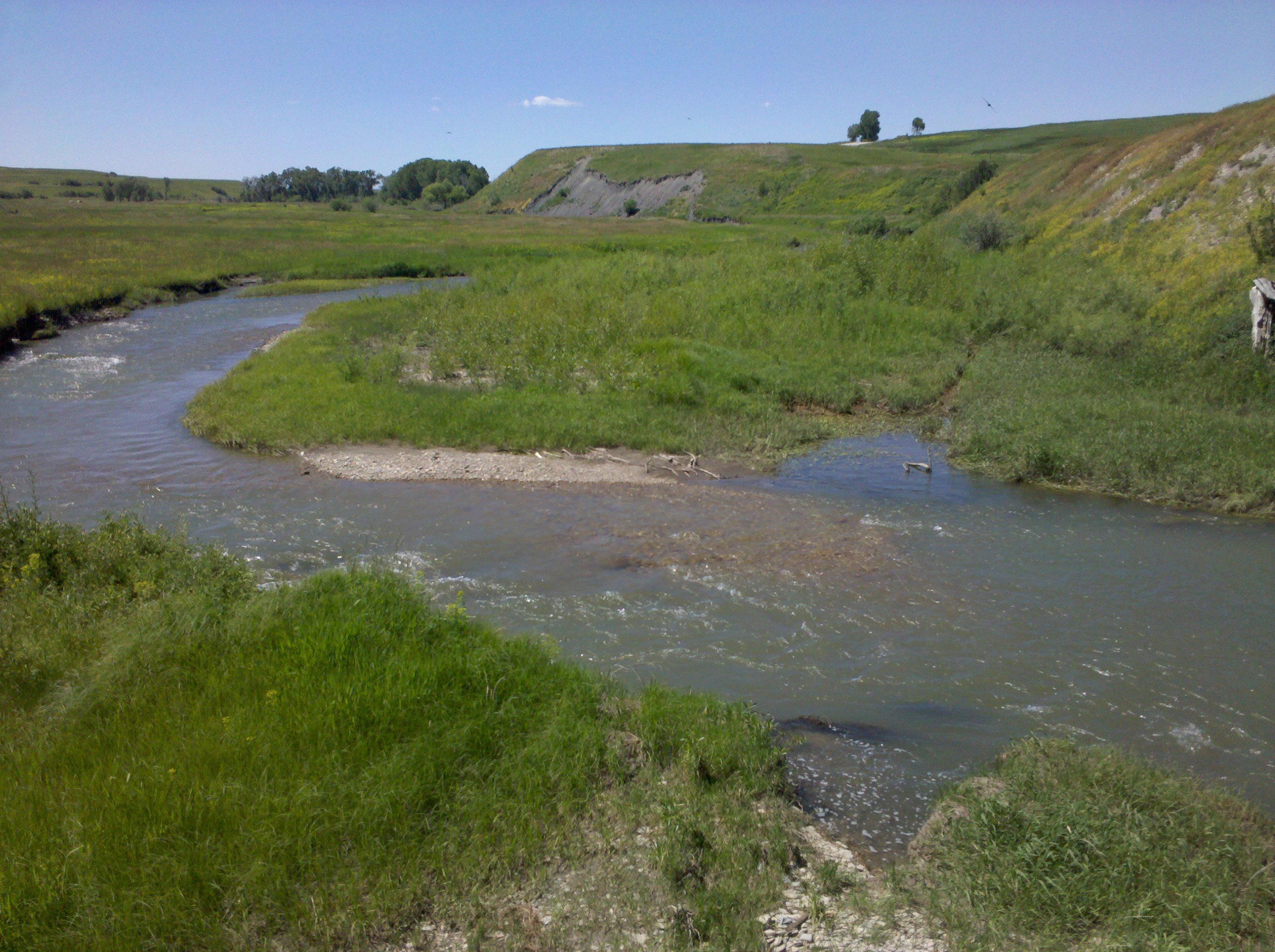
Satellite Map:
Related Photos:
Moore, Montana 59464

Summer Fields

On Trout Creek Road

Abundant Plains

Hopper Row

Dusty Straw

A day without pavement

Man Made Rainbow
Remember When

Montana Elevator Company

'The Old Homestead'
A decaying lifestyle
Still Standing
It's swimmin' time!

2006-07-31 - 07 - Road Trip - Day 08 - United States - Montana - Three Horses
Topographic Map of Moore, MT, USA
Find elevation by address:

Places in Moore, MT, USA:
Places near Moore, MT, USA:
Straw Rd, Moore, MT, USA
Denton
Wheatland County
Montana 200
Stanford
Judith Basin County
Montana 200
Montana 200
Montana
Stanford, MT, USA
Many Pines Campground
Porphyry Peak
Neihart
619 Main St
Monarch Mountain
Meagher County
44 MT-, Belt, MT, USA
31 Evans Riceville Rd, Belt, MT, USA
4260 Us-12
474 Evans Riceville Rd
Recent Searches:
- Elevation of Corso Fratelli Cairoli, 35, Macerata MC, Italy
- Elevation of Tallevast Rd, Sarasota, FL, USA
- Elevation of 4th St E, Sonoma, CA, USA
- Elevation of Black Hollow Rd, Pennsdale, PA, USA
- Elevation of Oakland Ave, Williamsport, PA, USA
- Elevation of Pedrógão Grande, Portugal
- Elevation of Klee Dr, Martinsburg, WV, USA
- Elevation of Via Roma, Pieranica CR, Italy
- Elevation of Tavkvetili Mountain, Georgia
- Elevation of Hartfords Bluff Cir, Mt Pleasant, SC, USA