Elevation map of Judith Basin County, MT, USA
Location: United States > Montana >
Longitude: -110.25771
Latitude: 47.0609367
Elevation: 1444m / 4738feet
Barometric Pressure: 85KPa
Elevation Map:
Satellite Map:
Related Photos:

Windham, Montana 59488

Stanford, Montana 59479

A Train For Christmas
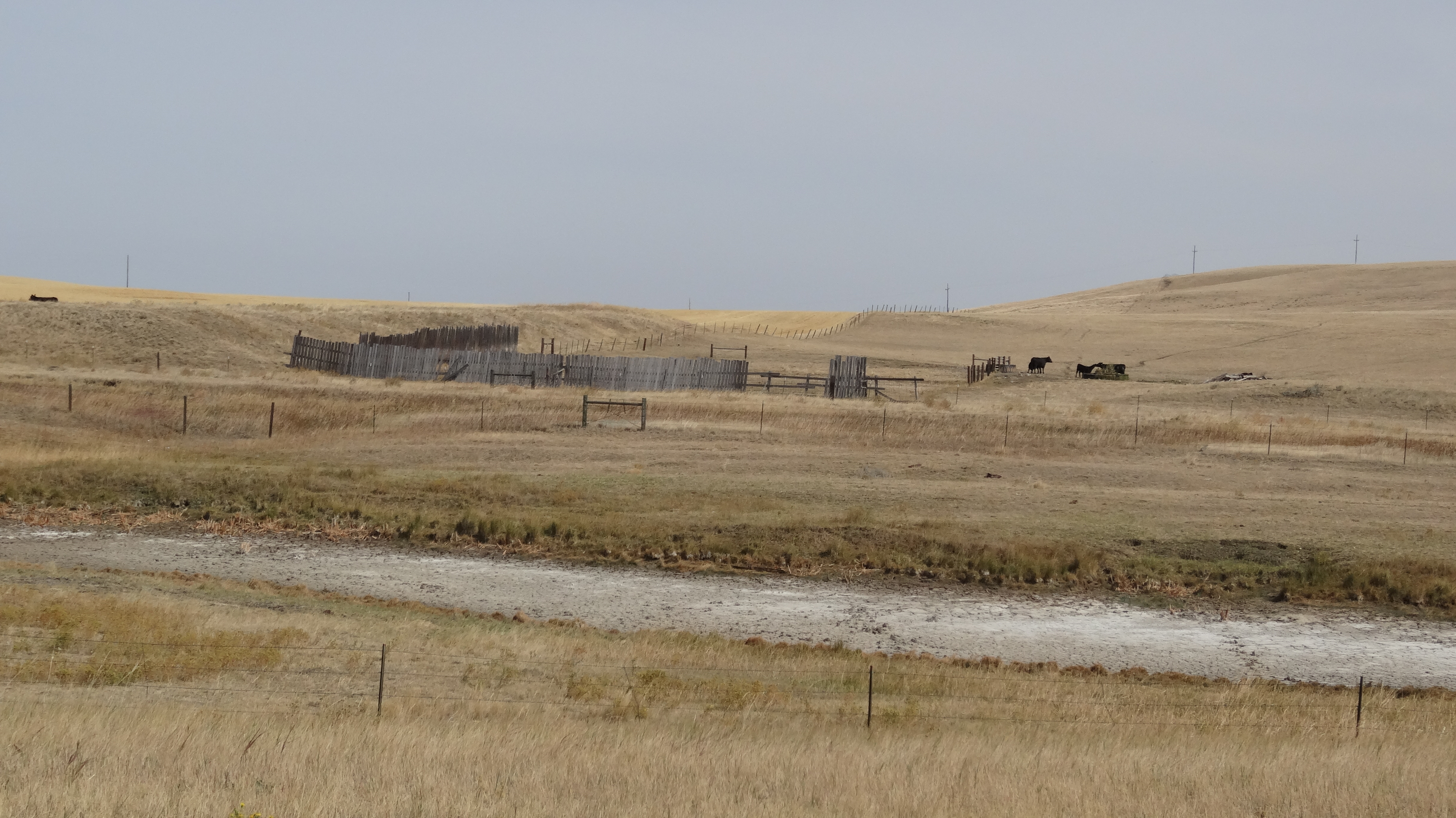
Judith Basin County, MT (2)

Cemetery Roses

Canada Bound Coal

Larson Cemetery

Afternoon Showers

Hill, Sky, Clouds

Stamford MT Supercell 2 061016.jpg

Stamford MT Supercell 1 061016.jpg

20130917-1031-26_7_7a

20130917-1044-12

20130917-1045-24a

20130917-1044-44
Topographic Map of Judith Basin County, MT, USA
Find elevation by address:

Places in Judith Basin County, MT, USA:
Places near Judith Basin County, MT, USA:
Montana 200
Montana 200
Montana 200
Stanford
Stanford, MT, USA
Montana
Denton
Many Pines Campground
Neihart
619 Main St
Porphyry Peak
Straw Rd, Moore, MT, USA
Moore
Monarch Mountain
31 Evans Riceville Rd, Belt, MT, USA
44 MT-, Belt, MT, USA
Wheatland County
474 Evans Riceville Rd
472 Evans Riceville Rd
Belt Post Office
Recent Searches:
- Elevation of Corso Fratelli Cairoli, 35, Macerata MC, Italy
- Elevation of Tallevast Rd, Sarasota, FL, USA
- Elevation of 4th St E, Sonoma, CA, USA
- Elevation of Black Hollow Rd, Pennsdale, PA, USA
- Elevation of Oakland Ave, Williamsport, PA, USA
- Elevation of Pedrógão Grande, Portugal
- Elevation of Klee Dr, Martinsburg, WV, USA
- Elevation of Via Roma, Pieranica CR, Italy
- Elevation of Tavkvetili Mountain, Georgia
- Elevation of Hartfords Bluff Cir, Mt Pleasant, SC, USA