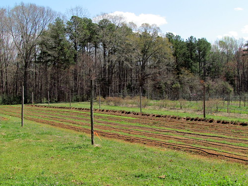
Elevation of Moon Lindley Rd, Snow Camp, NC, USA

Location: United States > North Carolina > Alamance County > 8, Newlin > Snow Camp >

Longitude: -79.398501

Latitude: 35.836256

Elevation: 206m / 676feet

Barometric Pressure: 99KPa

Elevation Map:

elevation map of Moon Lindley Rd, Snow Camp, NC, USA

Satellite Map:

Satellite map of Moon Lindley Rd, Snow Camp, NC, USA

Related Photos:

square squareformat iphoneography instagramapp uploaded:by=instagram foursquare:venue=4d56c749c6edf04ddedad4a2
The view that greeted us this morning. Blissful. #saxapahaw #northcarolina
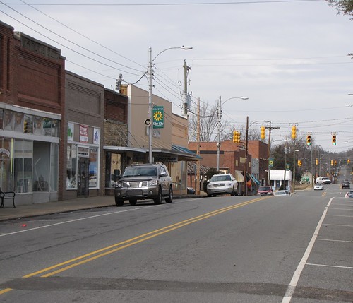
silercity chathamcounty northcarolina northchathamavenue oldusroute421 eastraleighstreet downtown downtownsilercity gerrydincher
North Chatham Ave
square squareformat iphoneography instagramapp uploaded:by=instagram foursquare:venue=4e469e59c65bd6ffbe939df4
Ashley taking in the river view with some chai. Not a bad Monday.
dinner square northcarolina saxapahaw southpaw20 iphone4 iphonecamera johnslens hipstamatic saxapahawgeneralstore kodotxgrizzledfilm diningwiththemotoroil diningwiththeducttape
Dinner With A View
nature animal youth peace north retreat carolina unedited 1008876 thefarminmay
Calf in the morning light
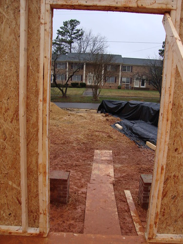
houses building habitatforhumanity march2010
A room with a view
waterfalls autumnleaves autumn thanksgiving
Haw river waterfalls
northcarolina unitedstates us alamancecounty barn oldbarn nc87 nchighway87 canon eos canoneos7dmarkii canonef28135mmisusm
NC-87 Barn
california bw oakland industrial cattails kodakmedalistii
The Cattails
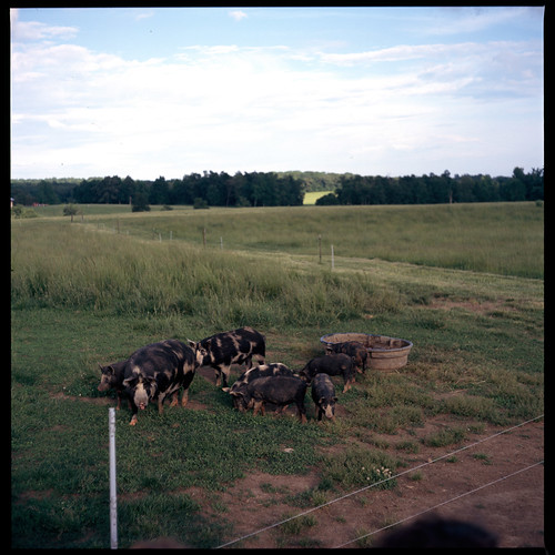
6x6 film farm slide chrome pigs transparency fujifilm fujichrome livestock e6 piglets mamiyac220 astia100f 80mmf28 canecreekfarm wellsbranchfarm
Cane Creek Farm Cookout
120 6x6 film cattle farm fujifilm mamiyac220 fujicolor c41 alamancecounty snowcamp 80mmf28 canecreekfarm pro100s
Cane Creek Farm
sky 6x6 film clouds farm slide chrome transparency fujifilm fujichrome e6 mamiyac220 astia100f alamancecounty 80mmf28 canecreekfarm wellsbranchfarm
Cane Creek Farm Cookout
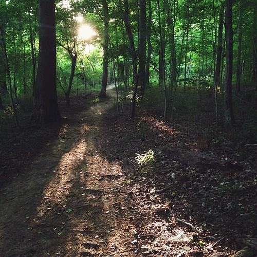
square squareformat iphoneography instagramapp uploaded:by=instagram
Magic trail at golden hour, east coast style. #saxapahaw #northcarolina #saxapahawlove #getoutside
summer haven reflection woods flora quiet olympus greenery 2007 evolt rocksculpture e510 buzzardlake
Woodland Realm
square squareformat iphoneography instagramapp uploaded:by=instagram
On our nightly walk ritual we stumbled on a giant fallen tree in the river, the perfect invitation to perch. #saxapahaw #northcarolina #saxapahawlove #getoutside
nc hawriver saxapahaw saxapahsaw
Haw River Trail Saxapahaw NC 6519
nc hawriver saxapahaw saxapahsaw
Haw River Trail Saxapahaw NC 6450
nc hawriver saxapahaw saxapahsaw
Haw River Trail Saxapahaw NC 6434
nc hawriver saxapahaw saxapahsaw
Haw River Trail Saxapahaw NC 6464
Autumn at the Goathouse
Wildflowers blooming on U.S. 421 at the Liberty exit in Randolph County
Autumn at the Goathouse
chathamcounty huckleberrytrailfarm samsung samsungnx30 nx30 samsungnx1855mmf3556 farm corn
After the Harvest Moon
sunset sky clouds rural landscape nc nikon rust raw decay north gimp raleigh silo carolina pittsboro lightroom 18105 d90 photomatix
HDR Silo
storm clouds silercitync
Storm Cell
nc farm pittsboro ayrshire
Ayrshire Farm TLC Pittsboro NC 1768
nc hawriver saxapahaw saxapahsaw
Haw River Trail Saxapahaw NC 6433