Elevation of Montevideo Cir, Fremont, CA, USA
Location: United States > California > Alameda County > Fremont > Mission San Jose >
Longitude: -121.9248445
Latitude: 37.5380389
Elevation: 77m / 253feet
Barometric Pressure: 0KPa
Related Photos:

DSC02820 Mushroom quilt
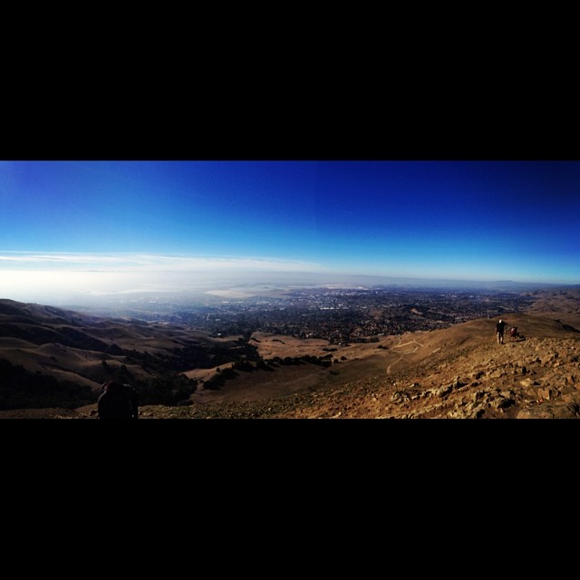
South Bay #hiking - view from the top of #missionPeak. #omgnotfood

Global Winter Wonderland Santa Clara 2011

Vivid Whispers
Mission Peak Regional Park, Fremont, California USA

Explosions of Light

What a cute kid :)

mY first HDR

wheels on fire

Magical Sparkles

Alviso Blue Hour
View from Maguire Peaks

'out of nowhere'

The View from Mission Peak

Empty seats at the stadium

Great Blue Heron
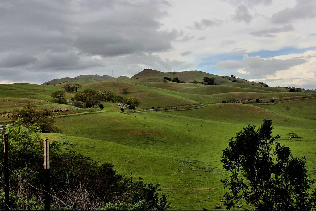
Golden Hills

Steep targets

Hiked up Mission Peak! Great view of the East Bay!
Livermore - the Big Picture

Marsh Wren (Cistothorus palustris) (sp. # 196)

Tree in Yellow Field
A foggy night in California

Calaveras Road
Sunol Spring Hillside No.01

No Name Trail

Green Pastors

Marsh Wren

Easy way down

2013-04-04 13.20.52

Door of opportunities :)

Trail to the Yellow Flowers

Cotoye Hills Regional Park 11.jpg

Mustard field
Yesterday afternoon stroll.

A Candle Burns Brightest

Garin 20150227

Allen's Hummingbird
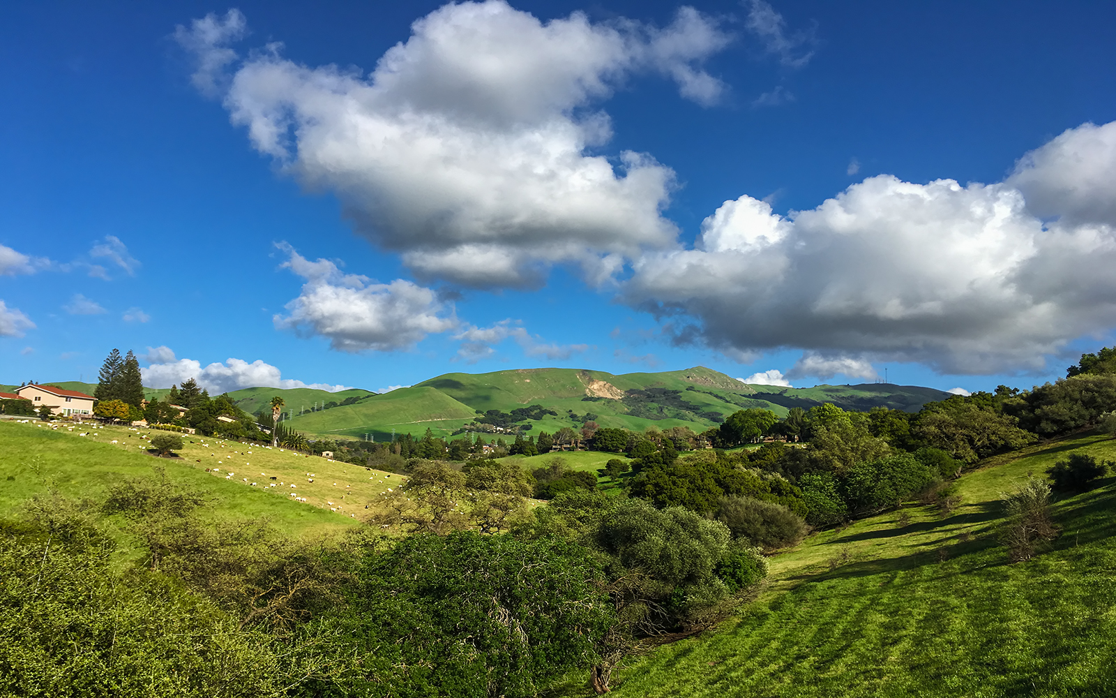
Calaveras Hills
iPhone 5se test

There is something about nature that makes me feel happy.

Hello! I'm Western Meadowlark
Topographic Map of Montevideo Cir, Fremont, CA, USA
Find elevation by address:

Places near Montevideo Cir, Fremont, CA, USA:
158 Guadalupe Terrace
403 Escobar St
Mission San Jose
Old Mission San Jose
43103 Washington Common
Mission Blvd, Fremont, CA, USA
203 Mission Tierra Pl
243 Mission Tierra Pl
Mission Valley
41751 Murphy Pl
Olive Avenue
1425 Salamanca Ct
901 Wisteria Dr
2105 Castillejo Way
1997 Mento Dr
2017 Waycross Rd
42200 Vargas Rd
345 Castro Ln
1385 Bedford St
2355 Jackson St
Recent Searches:
- Elevation map of Greenland, Greenland
- Elevation of Sullivan Hill, New York, New York, 10002, USA
- Elevation of Morehead Road, Withrow Downs, Charlotte, Mecklenburg County, North Carolina, 28262, USA
- Elevation of 2800, Morehead Road, Withrow Downs, Charlotte, Mecklenburg County, North Carolina, 28262, USA
- Elevation of Yangbi Yi Autonomous County, Yunnan, China
- Elevation of Pingpo, Yangbi Yi Autonomous County, Yunnan, China
- Elevation of Mount Malong, Pingpo, Yangbi Yi Autonomous County, Yunnan, China
- Elevation map of Yongping County, Yunnan, China
- Elevation of North 8th Street, Palatka, Putnam County, Florida, 32177, USA
- Elevation of 107, Big Apple Road, East Palatka, Putnam County, Florida, 32131, USA
- Elevation of Jiezi, Chongzhou City, Sichuan, China
- Elevation of Chongzhou City, Sichuan, China
- Elevation of Huaiyuan, Chongzhou City, Sichuan, China
- Elevation of Qingxia, Chengdu, Sichuan, China
- Elevation of Corso Fratelli Cairoli, 35, Macerata MC, Italy
- Elevation of Tallevast Rd, Sarasota, FL, USA
- Elevation of 4th St E, Sonoma, CA, USA
- Elevation of Black Hollow Rd, Pennsdale, PA, USA
- Elevation of Oakland Ave, Williamsport, PA, USA
- Elevation of Pedrógão Grande, Portugal