Elevation of Monte Elma Rd, Elma, WA, USA

Location: United States > Washington > Grays Harbor County > Elma >

Longitude: -123.45739

Latitude: 47.0041915

Elevation: -10000m / -32808feet

Barometric Pressure: 295KPa

Elevation Map:

elevation map of Monte Elma Rd, Elma, WA, USA

Satellite Map:

Satellite map of Monte Elma Rd, Elma, WA, USA

Related Photos:

park plant industry monument monster architecture concrete idea construction silent power view humanity empty wide large nuclear panoramic stack business national future homer infrastructure vista unfinished layers diffusion lush visual atomic functional immense redundant 76 incomplete cooling simson satsop hydrothermal vacuous envision vacate megawatt streetshooter devtank irq506
20120818.STSP.JO©.052
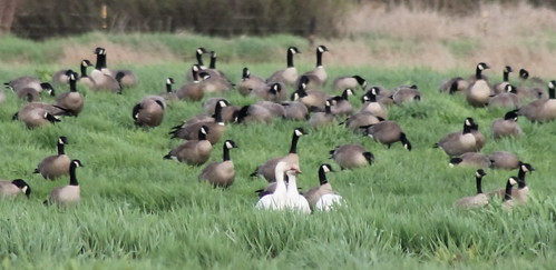
snowgoose ansercaerulescens chencaerulescens cacklinggoose brantahutchinsii cackler brantahutchinsiiminima
IMG_4273 Cacklers and Snow Geese
snowgoose ansercaerulescens chencaerulescens cacklinggoose brantahutchinsii cackler brantahutchinsiiminima tavernerscacklinggoose
IMG_4274 Snow Geese and Cacklers
autumn usa color detail art fall leaves dark gold golden washington leaf maple flora dry fallen environment curled veins sylvia graysharbor montesano atmyfeet schnoor driedout g9 lakesylvia imagesmyth stevenschnoor 20081024 autumnprospecting blownunderashrub
Fallen 2008.10.24
acme satsop pontoons pontoon floatingbridge sr520 advancedconstuctionmethodsandengineering
Satsop testing site
auto ford car truck washington pickup montesano
Been Here A Long Time
town washington community mainstreet downtown district business wa storefronts elma mappingmainstreet
Main Street Elma
sunset washington warm bokeh sideviewmirror
We're headin on home, and the sun sets behind us....
lake landscape justpentax pentaxk7
Lake Sylvia Bridge
flowers summer usa flower color art nature overgrown cemetery grass daisies rural cool weeds colorful nw mood headstone july sharon pacificnorthwest grasses washingtonstate pnw damp sentiment dandelions 2011 schnoor simplelogic graysharborcounty southbankroad mrwitsman tooheavyonthevignetteasyoucansee processedforadarkmatte
Sharon Cemetery . mr. witsman
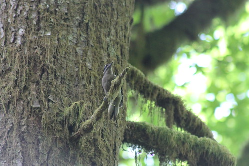
hairywoodpecker picoidesvillosus picoides villosus schaferstatepark
IMG_1461 Hairy Woodpecker
schaferstatepark
IMG_1467 Schafer Park
november sun earthquake fault elma satsop vancecreek
Reeling in the Gold
bird hawk coopershawk accipitercooperii birdsofwashington washingtonbirds
IMG_9703 Cooper's Hawk - Accipiter cooperii
Another View
robin birds americanrobin turdusmigratorius birdsofwashington washingtonbirds
IMG_8263 American robin - Turdus migratorius
square squareformat iphoneography instagramapp uploaded:by=instagram foursquare:venue=4c3d0dfe15cb1b8d59857bdc
#washington #clouds #scenic #barns #old #driving #hiking
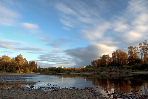
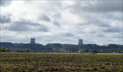
sky reflection clouds river washington nuclear hdr coolingtowers satsop satsopriver satsopnuclearpowerplant
The Two Towers
A nice spot for a break
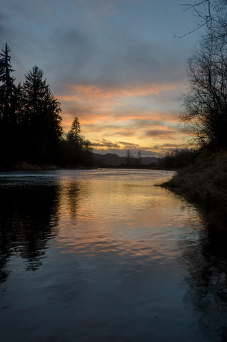
sunset iso100 washington satsop chehalisriver 1024mmf3545 nikond7000
Day's End
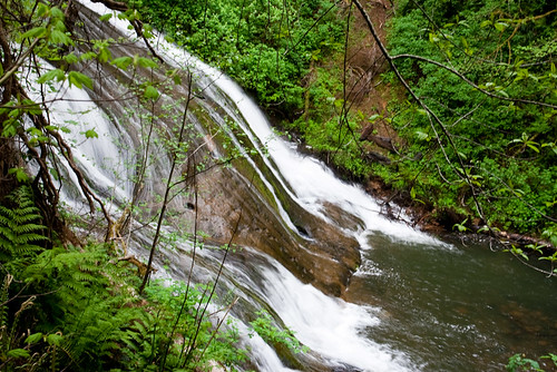
park lake creek waterfall washington state falls sylvia monteano
Photo that nearly cost me my life
flickrandroidapp:filter=none
lunch spot
chehalisriver tour chehalisrivertour yo
SR 107 across the Chehalis River
airplane flying washington unitedstates montesano satsoppowerplant
Satsop Power Plant
flickrandroidapp:filter=none
Chehalis river valley
washingtonstate buildings graysharborcounty miscbuildings digital panasoniczs50 2016 september satsop
Abandoned Nuclear Plant, Satsop WA
grass animals us washington unitedstates wildlife deer pacificnorthwest elma satsop satsopriver chehalisriver keysroad
Satsop / Elma Deer
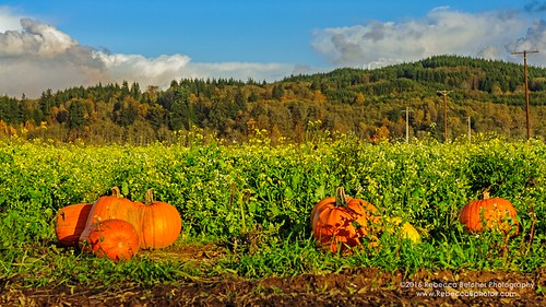
pumpkin patch montesano washington washingtonphotography halloween agriculture dogfriendly photography photographer nature october landscape field outdoor serene sunset plant farm harvest vines
Shaffner Pumpkin Patch
Lake Quigg
water
Wynoochee River