Elevation of Monasterevin, Co. Kildare, Ireland
Location: Ireland > Kildare >
Longitude: -7.060377
Latitude: 53.1400651
Elevation: 64m / 210feet
Barometric Pressure: 101KPa
Elevation Map:
Satellite Map:
Related Photos:

Shine on
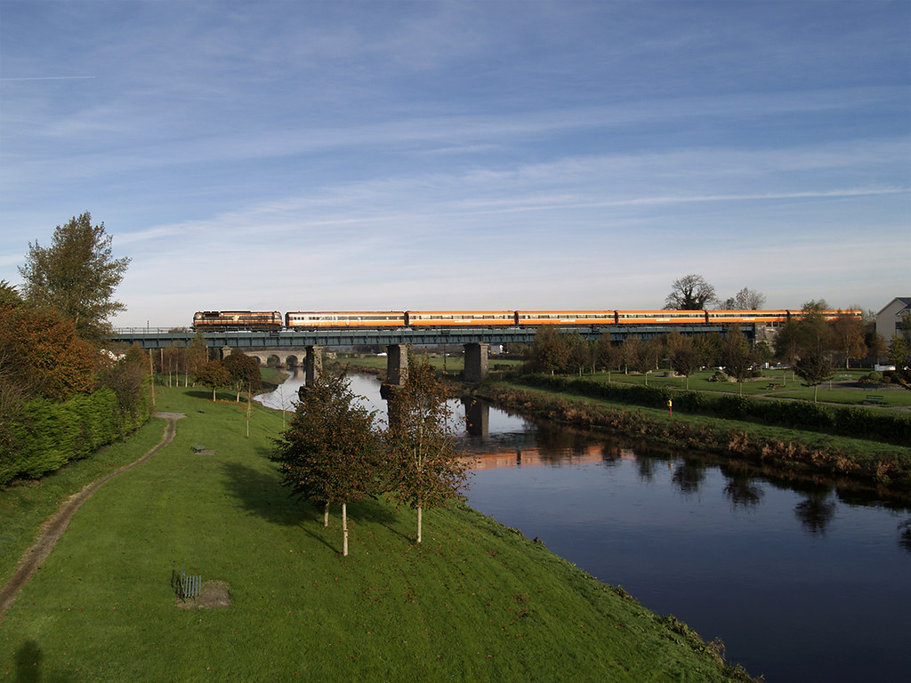
085 on 09:50 Heuston-Limerick crossing the barrow at Monasterevin 03-Nov-06
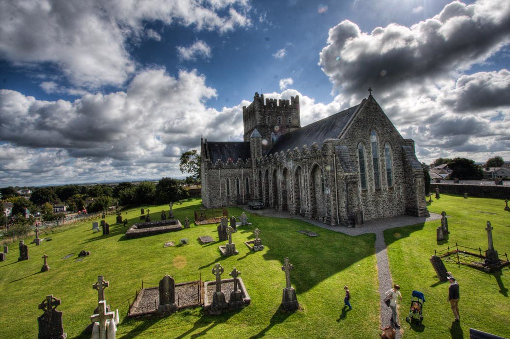
St. Brigid's Cathedral HDR
St. Brigid's Cathedral HDR
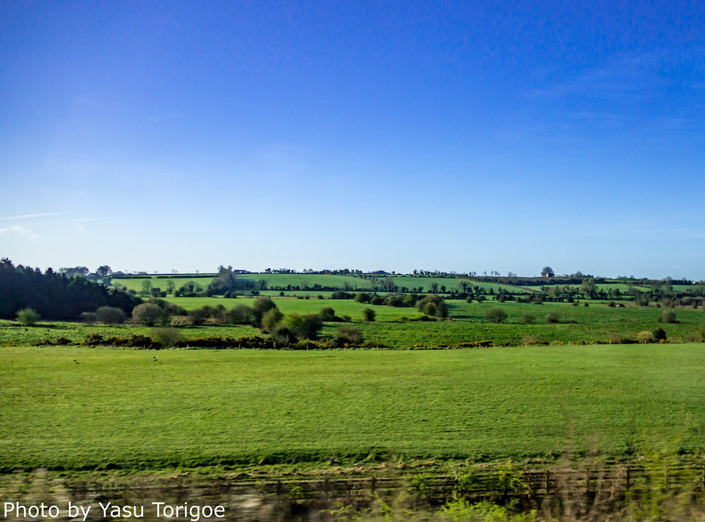
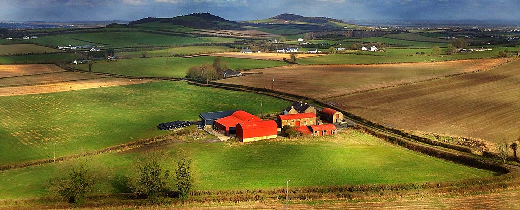
Eastern Ireland Countryside-12
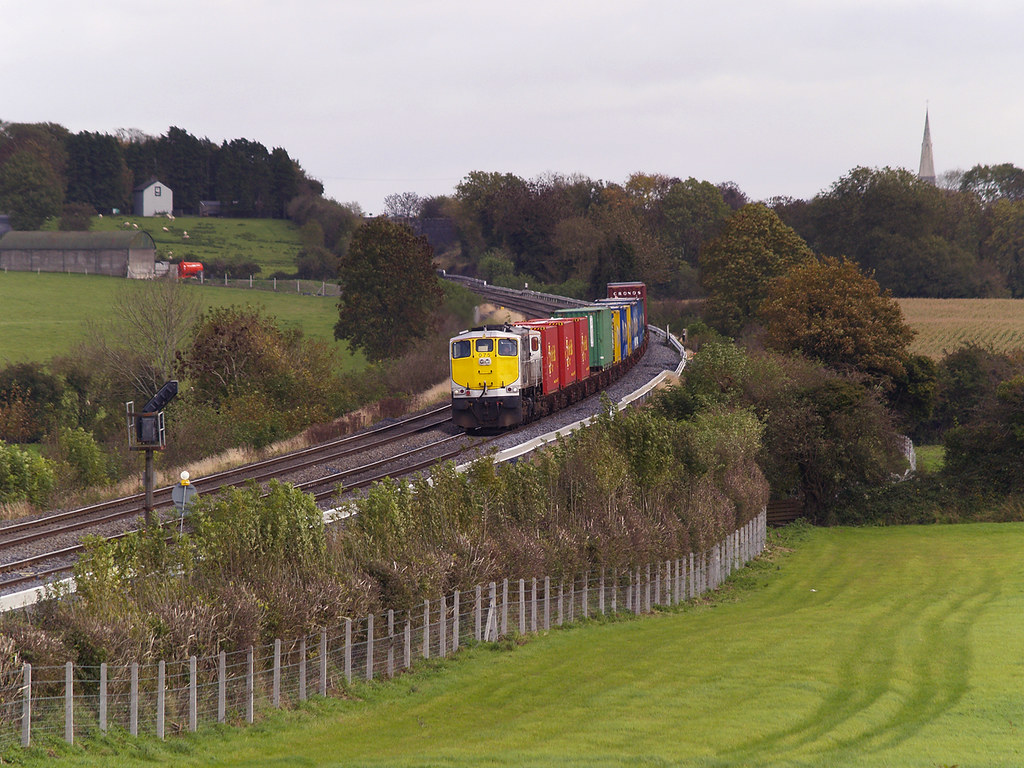
233 & Cravens on Connolly-Midleton special at Monasterevin 07-Nov-14

Round Tower, Kildare Town

view of park from round tower

View from my kitchen this evening
In Plain view

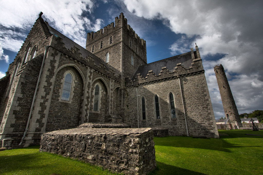
Round Tower @ St. Brigid's Cathedral in Kildare, Ireland

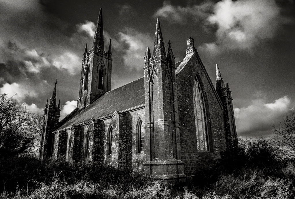
"Church ruins with pointed arches" is Kildare Cathedral

You hear that? Sounds like somebody's sheer-ing

The Grand Stand Hotel, Curragh Camp
Emo Park, Portarlington, Co. Laois

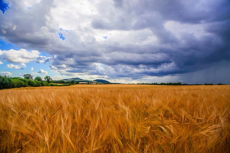
Ireland - Bales

View from the Tower
View from Kildare Round Tower
The View From The Rock 3

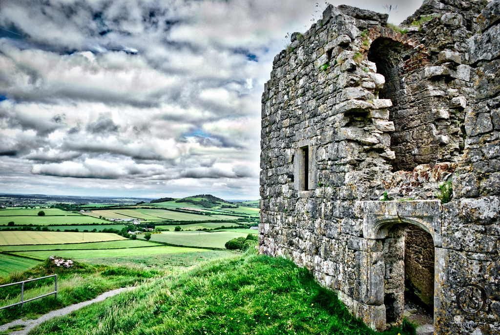
The Rock of Dunamase
Vicarstown View
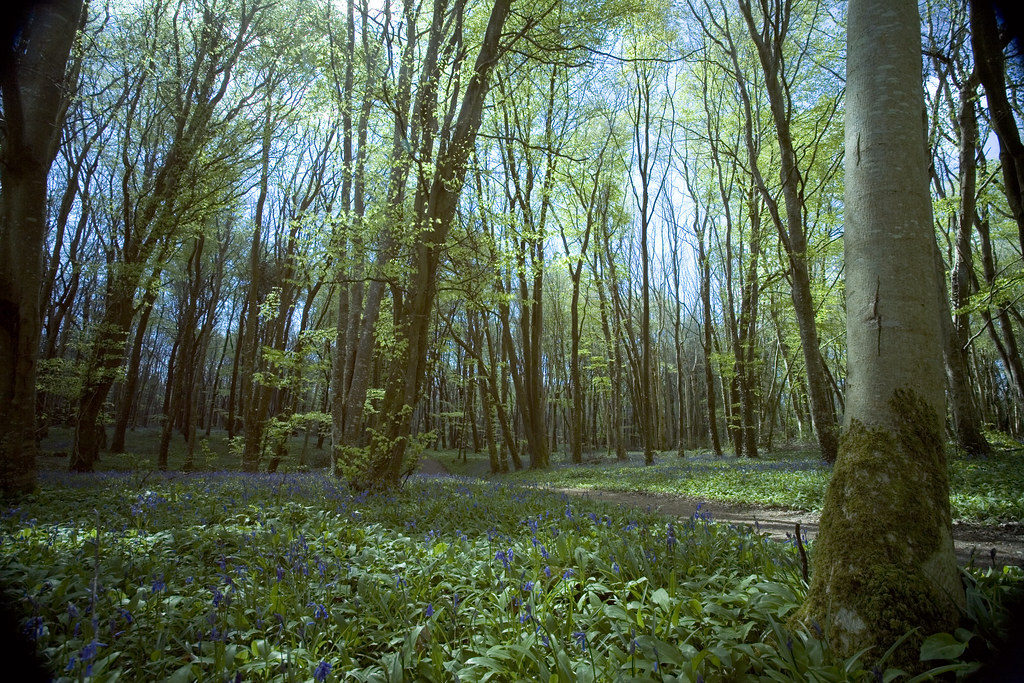
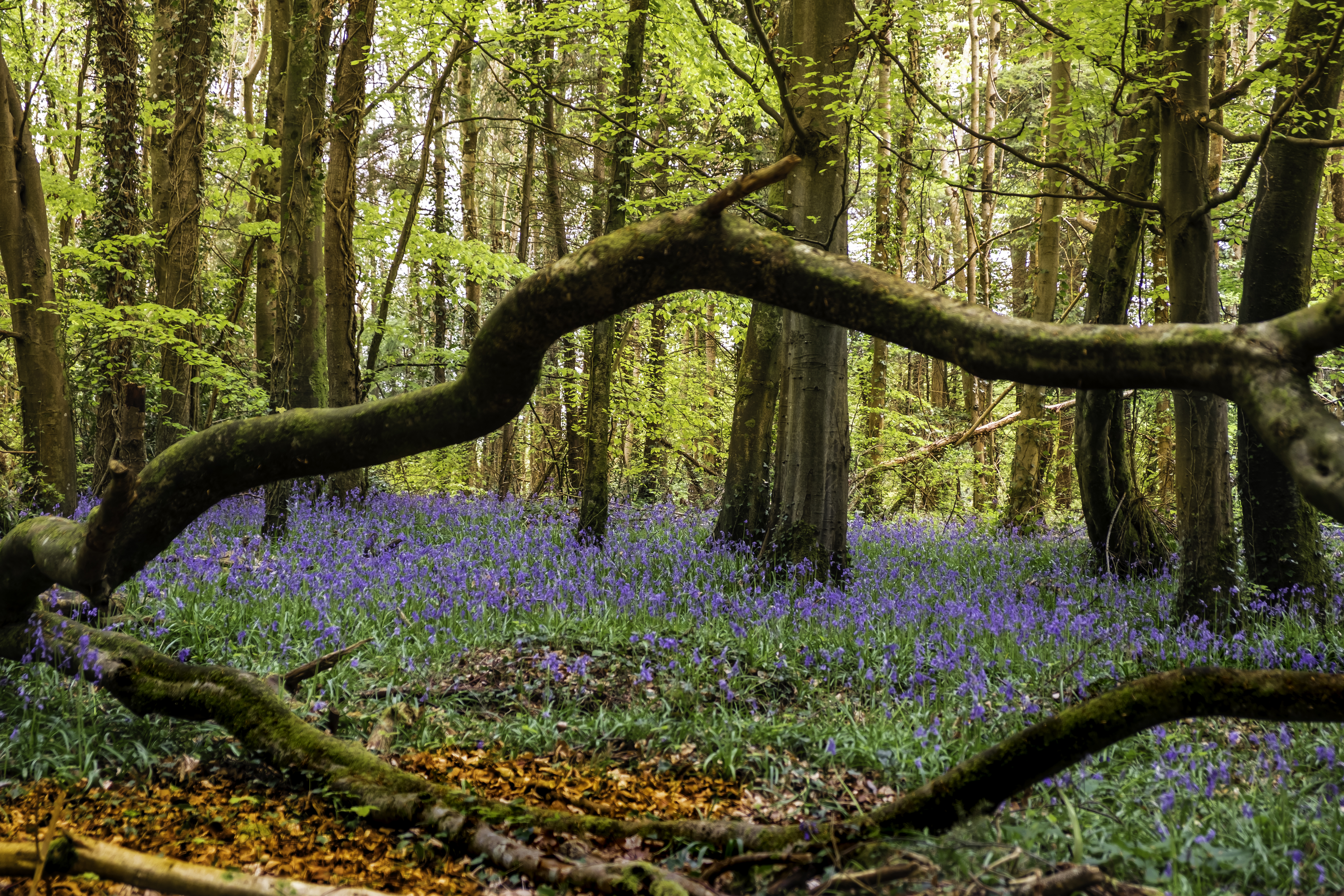
Bluebell wood~Explored#120
Spring in the forest ~ Explored#470
Abandoned Church.
Friday 13th

Straw Bales in County Kildare

Cherryville Junction
Rock of Dunamase 018
Hills of Carlow

The Rock of Dunamase
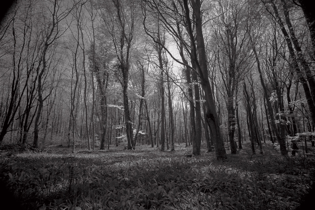
Killinthomas Wood
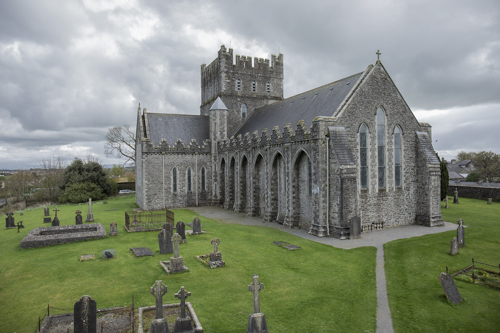
St Bridgets Cathedral Kildare

Curragh Sunset Jan 2013
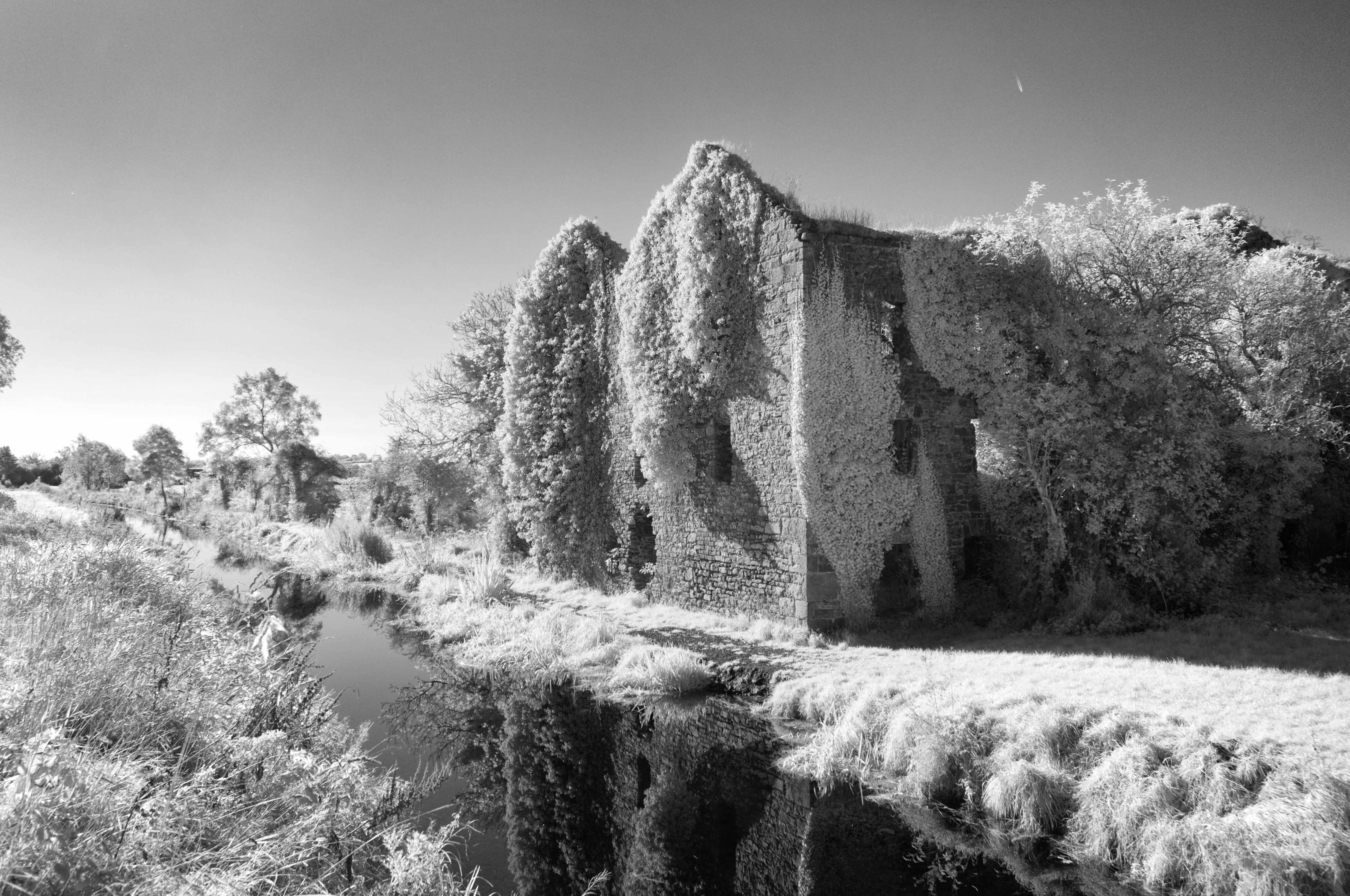
Old Mill

075 on Waterford-Ballina Norfolk liner at Kyle bridge 01- May-08

073 & 087 at Portarlington 06-Oct-17
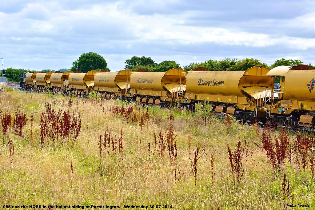
085 and the HOBS at Portarlington

The Rock of Dunamase
Day 7: Rock of Dunamase
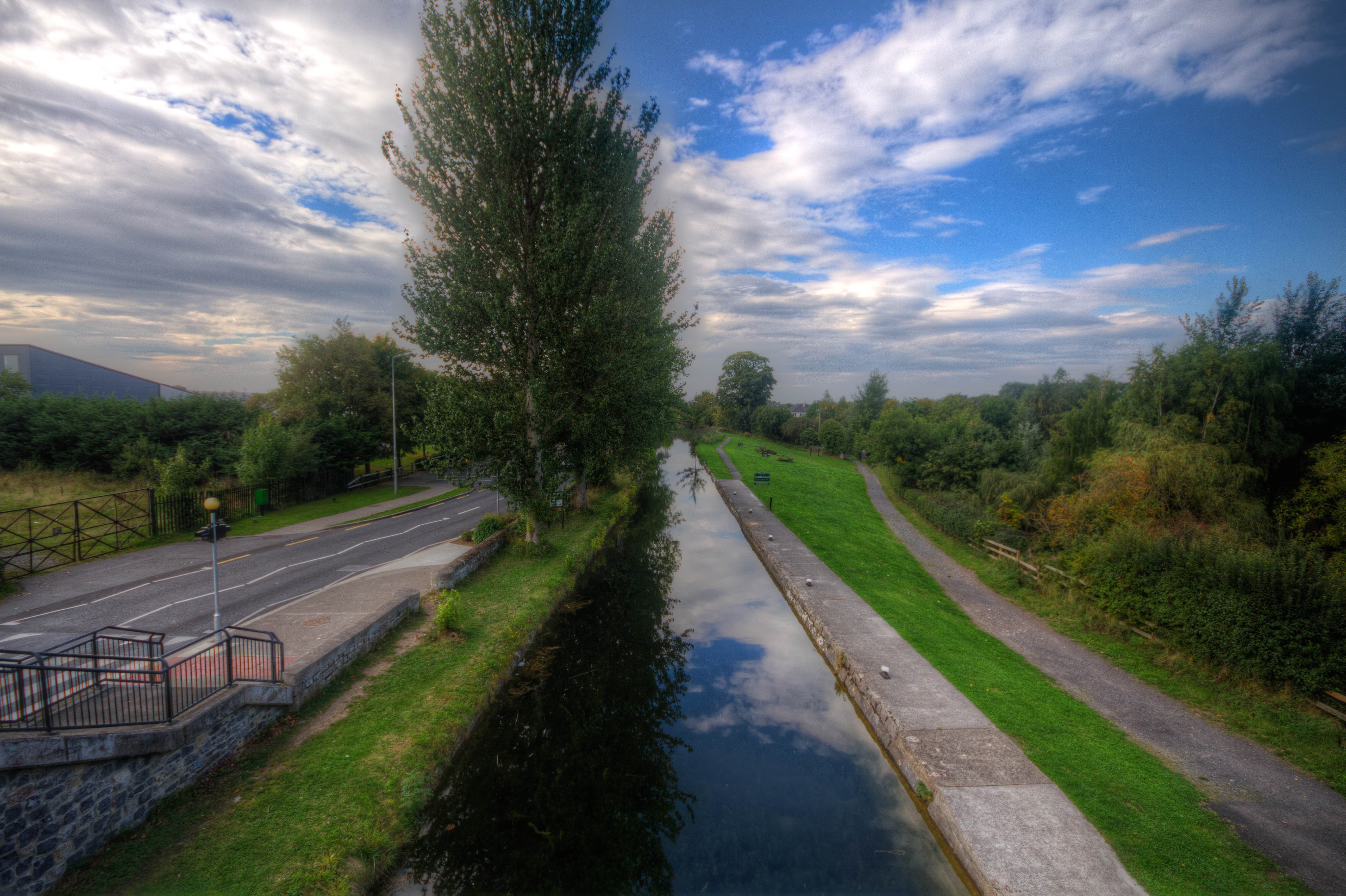
down the canal
075 on Ballina-Waterford Norfolk liner at Cherryville Jcn 22-Oct-08
Topographic Map of Monasterevin, Co. Kildare, Ireland
Find elevation by address:

Places near Monasterevin, Co. Kildare, Ireland:
Derry
Grange Castle
Grange East
Ennis Lodge
Rathmoyle
Rhode
Ballycullenbeg
Laois
Ballyroan
Mulhall's Flats
Crutt
Ballyroan
R32 H597
Cappabeg
Coon West
Laois
Abbeyleix
Millbrook
Killeigh
Killeigh Church
Recent Searches:
- Elevation of Corso Fratelli Cairoli, 35, Macerata MC, Italy
- Elevation of Tallevast Rd, Sarasota, FL, USA
- Elevation of 4th St E, Sonoma, CA, USA
- Elevation of Black Hollow Rd, Pennsdale, PA, USA
- Elevation of Oakland Ave, Williamsport, PA, USA
- Elevation of Pedrógão Grande, Portugal
- Elevation of Klee Dr, Martinsburg, WV, USA
- Elevation of Via Roma, Pieranica CR, Italy
- Elevation of Tavkvetili Mountain, Georgia
- Elevation of Hartfords Bluff Cir, Mt Pleasant, SC, USA