Elevation of Molina, CO, USA
Location: United States > Colorado > Mesa County > Molina >
Longitude: -108.05986
Latitude: 39.1598325
Elevation: 1951m / 6401feet
Barometric Pressure: 80KPa
Elevation Map:
Satellite Map:
Related Photos:
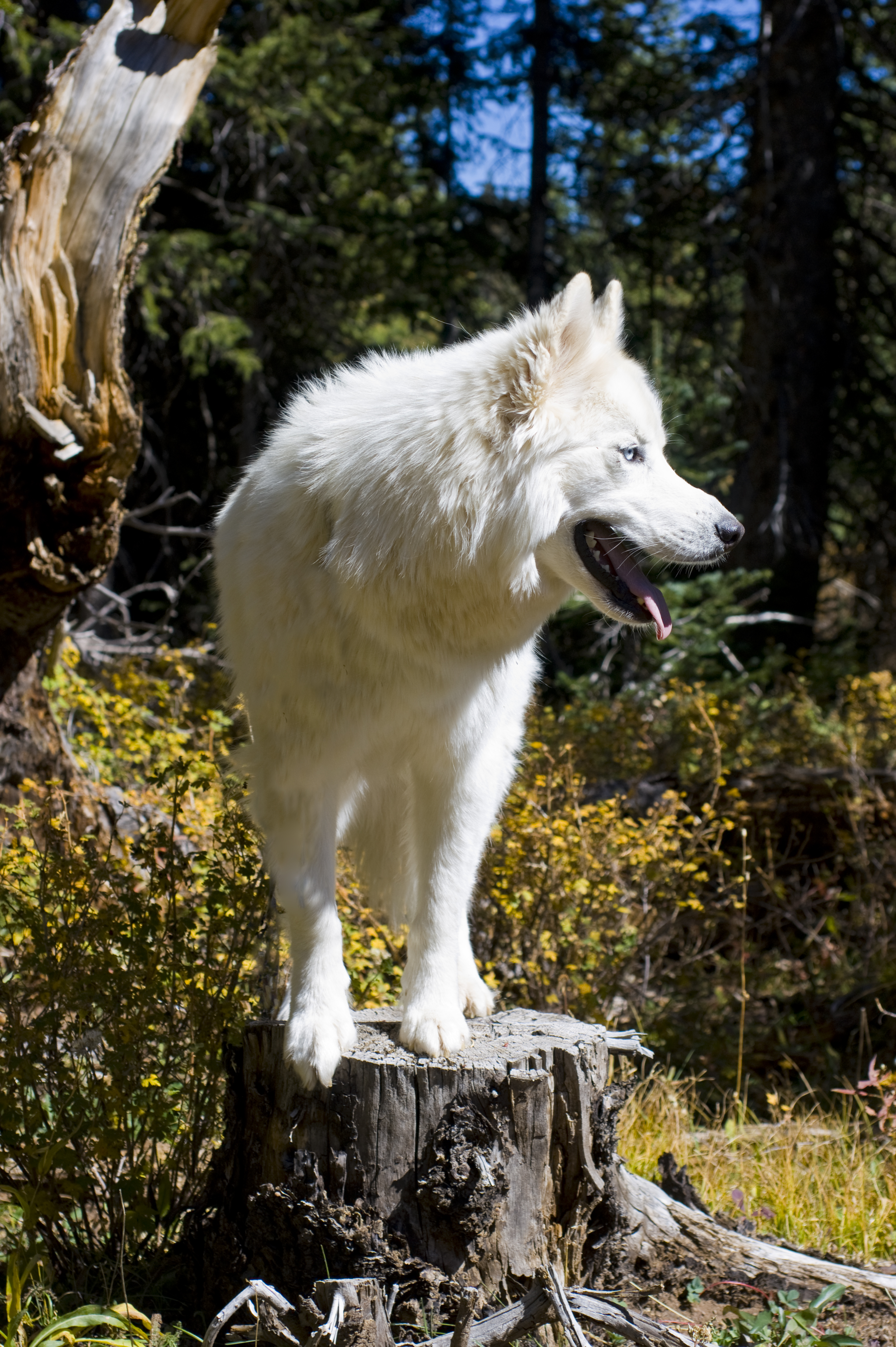
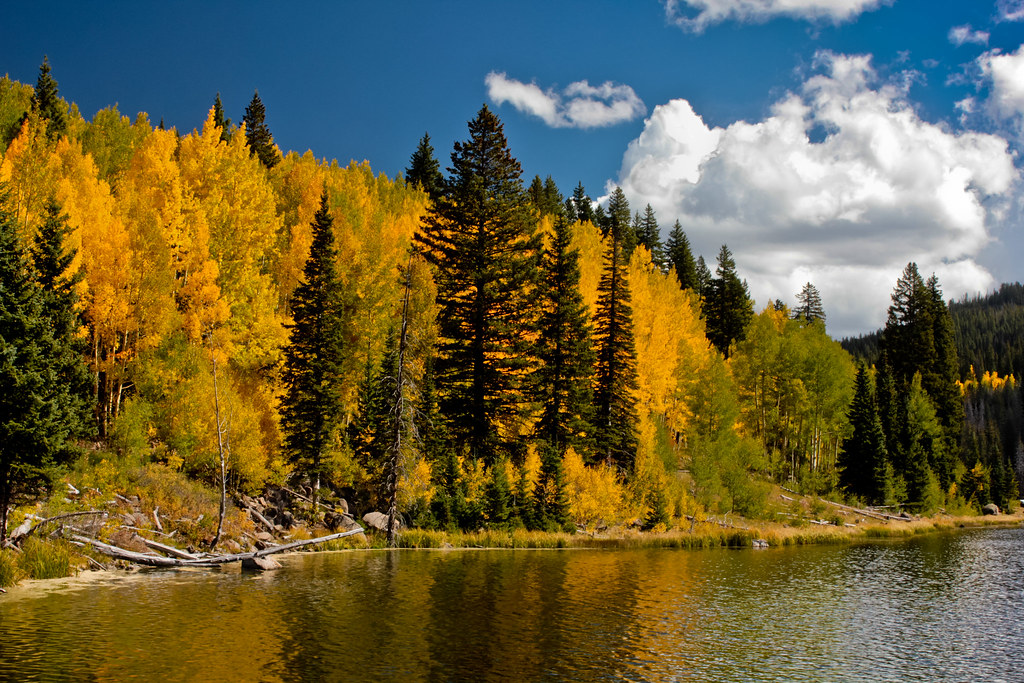
Eragon on Grand Mesa Autumn 2010_2

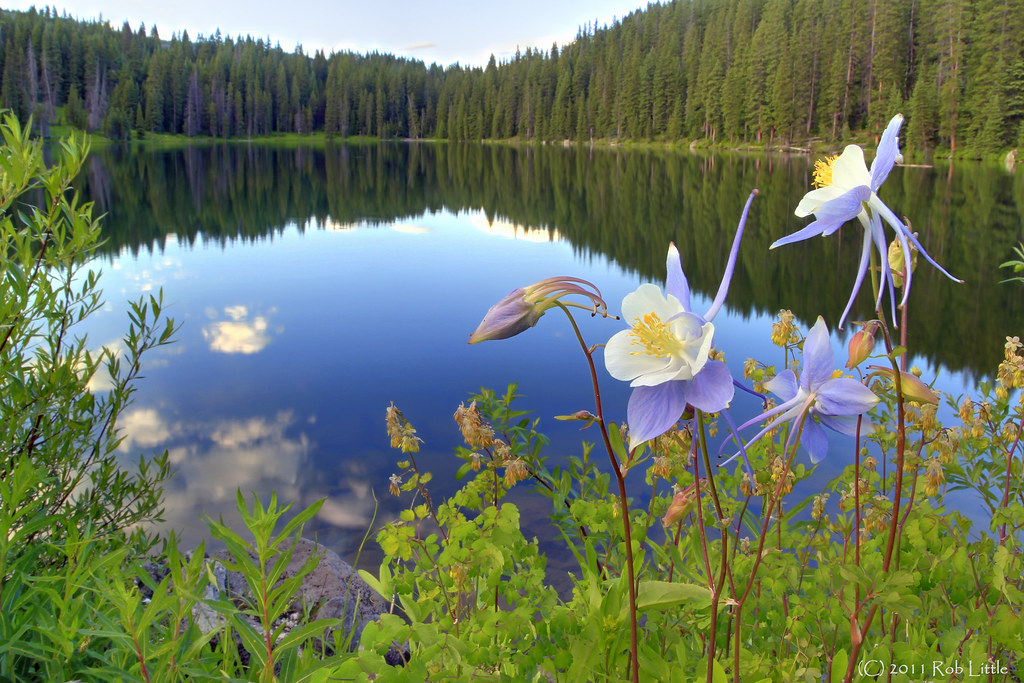
Aspens Have Eyes!, Powderhorn, Mesa, Colorado (CO) (DTA_4790)
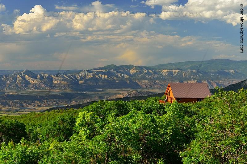
House with a View at Powderhorn, Mesa, Colorado (DTA_4843)

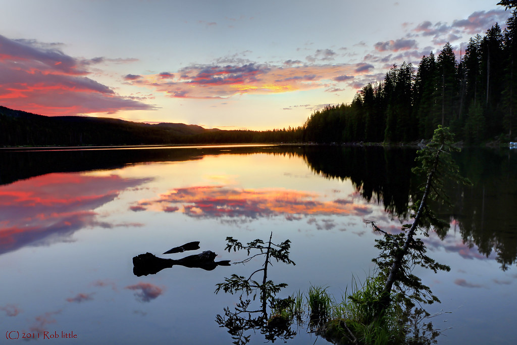
Sunset on Powderhorn Trail, Mesa, Colorado (CO) (DTA_4857)
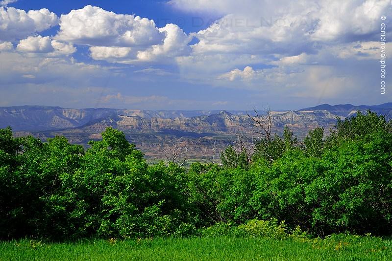
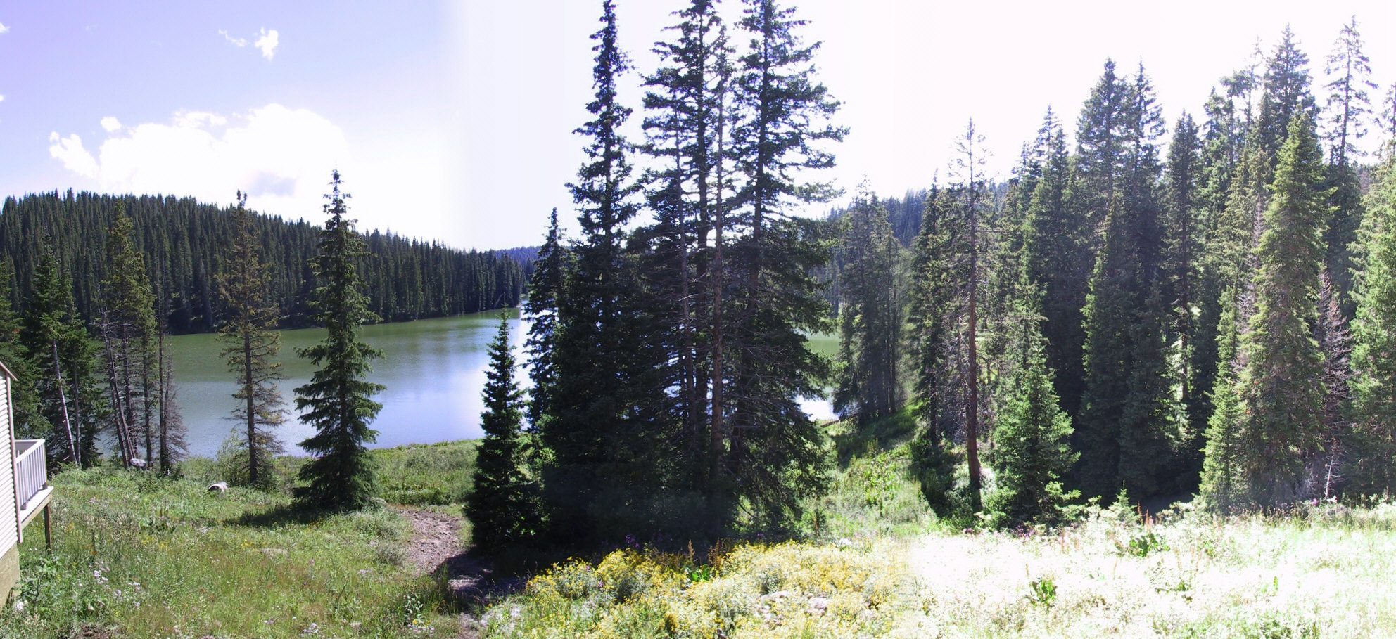
Valley View from Powderhorn (DTA_4816)

The Last Light from Powderhorn, Mesa, Colorado (DTA_4862)
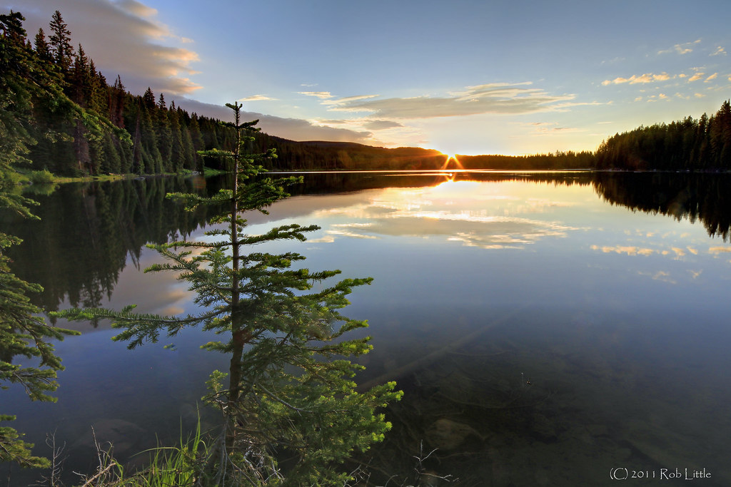
Grand Mesa Sunrise
Atop Grand Mesa

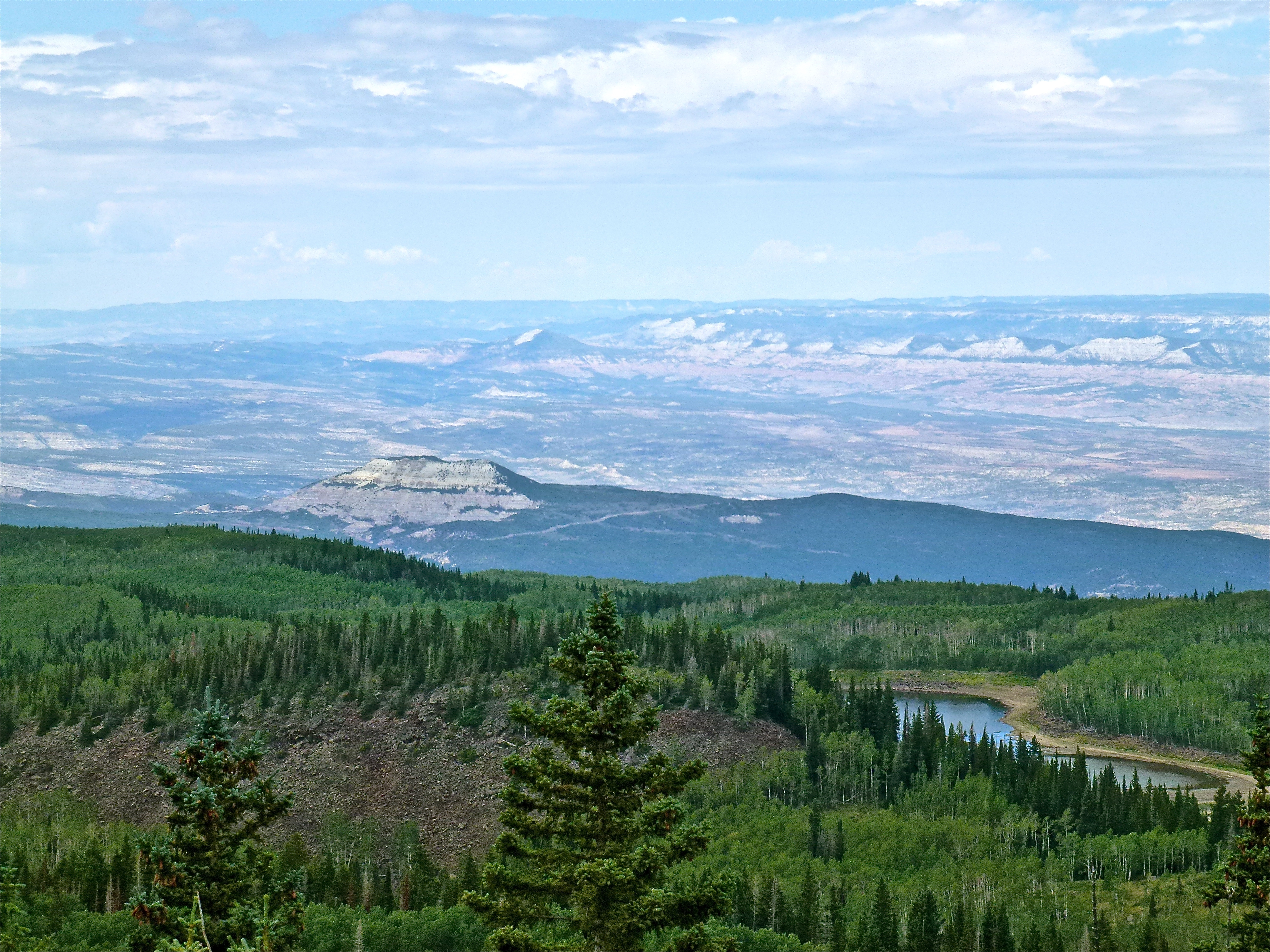
You can see for miles and miles.....
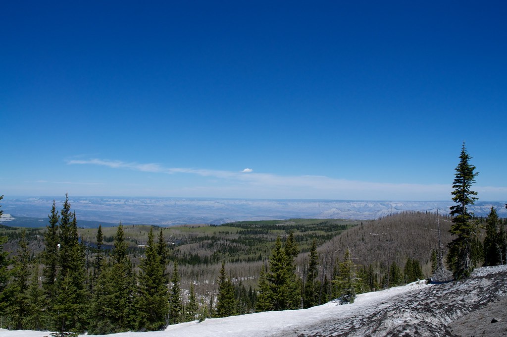
View North towards the Roan Plateau
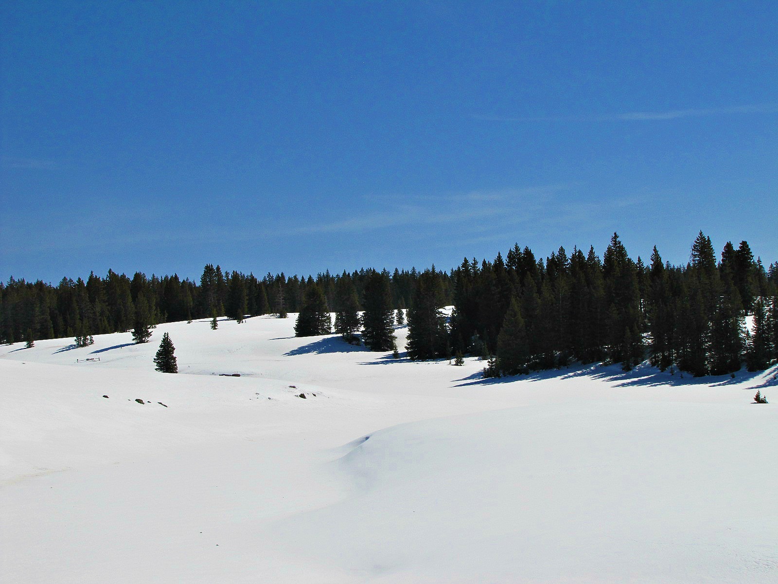
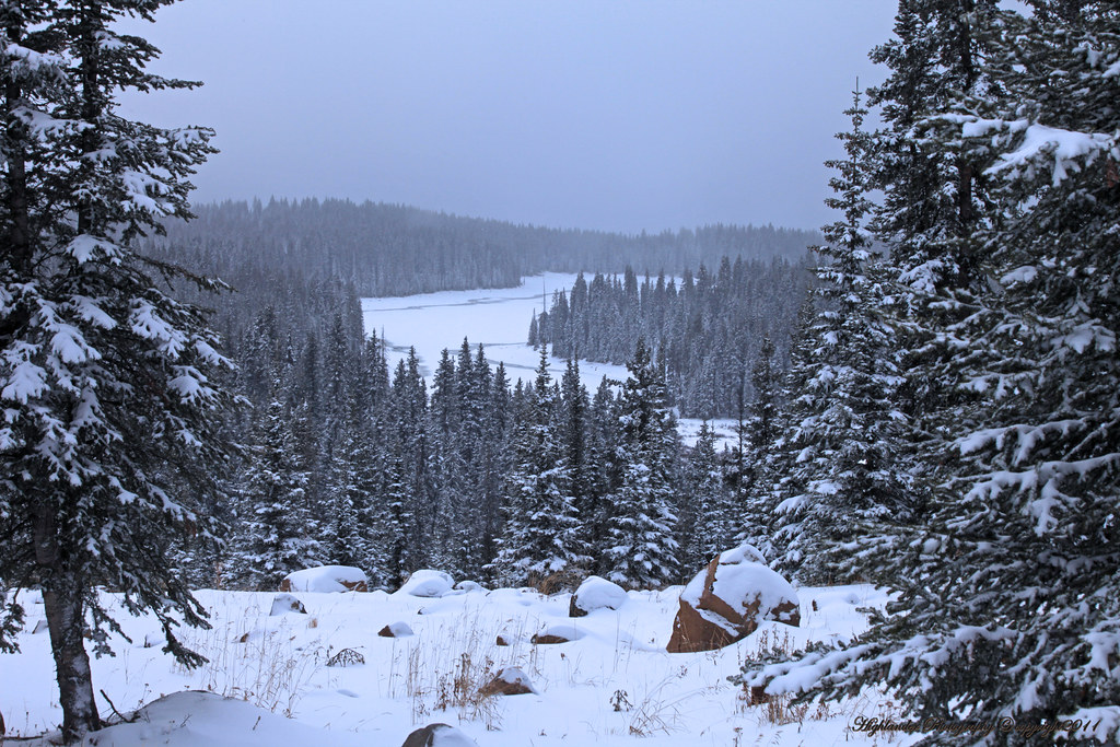
Grand Mesa in winter
View from Grand Mesa
View Grand Mesa Cabin
Looking South from the Visitors Center
Western CO morning

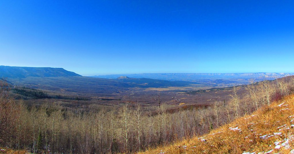
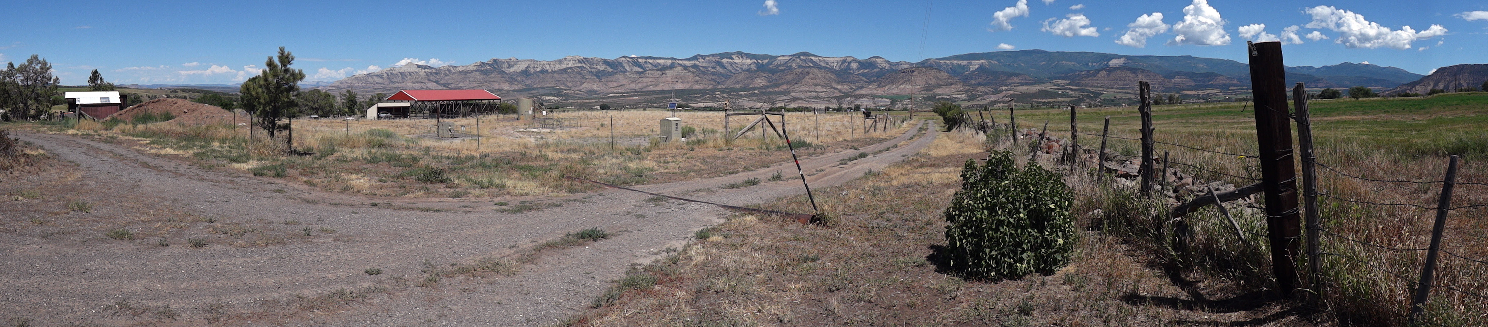
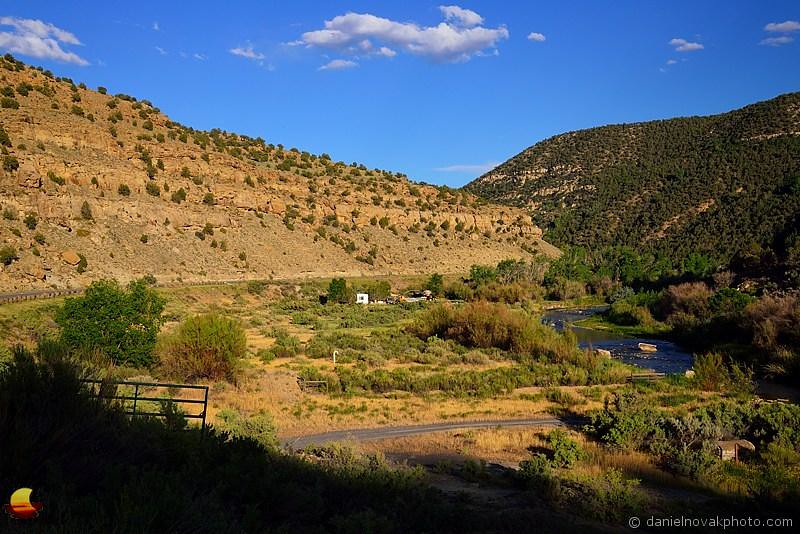
Plateau Valley
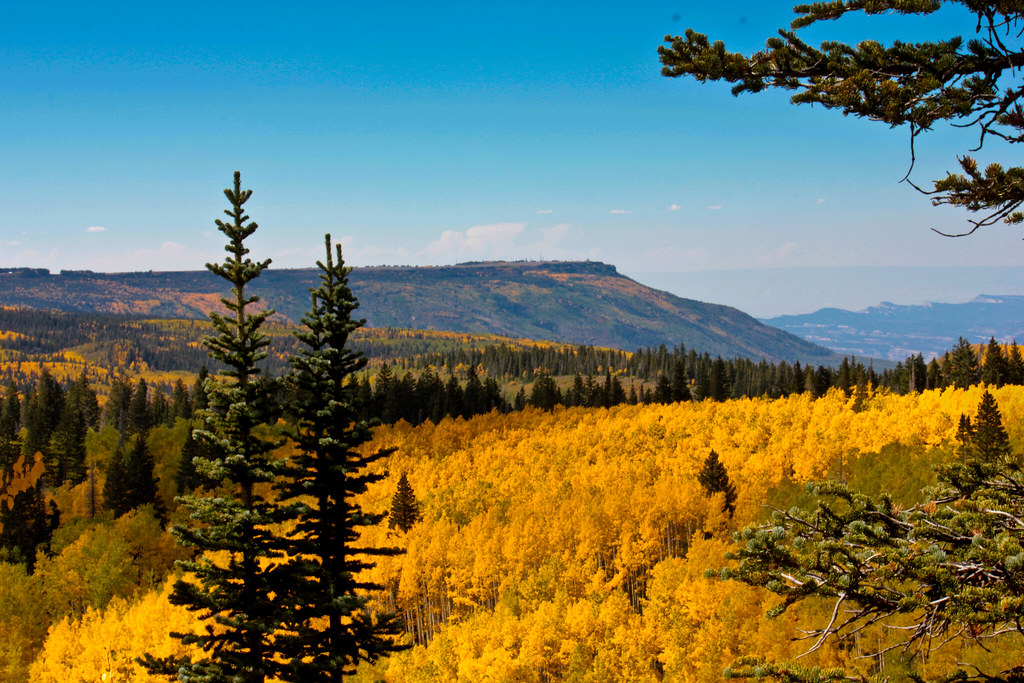
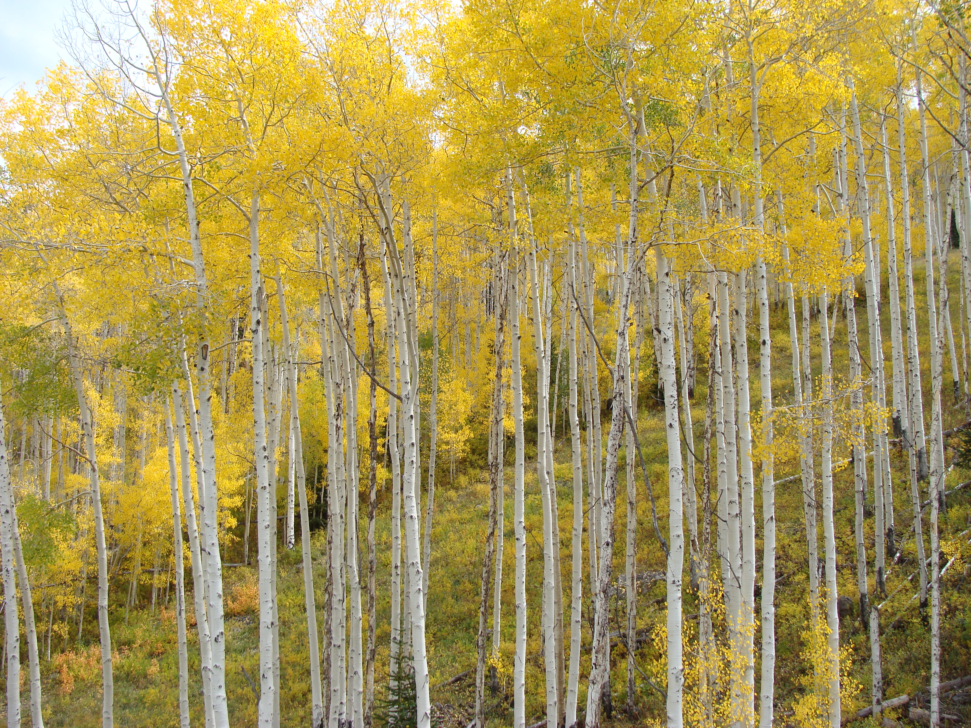
Land's End at peak color. (Explore)

Grand Mesa Sunset

The Fisherman

Back Country Snow
On the Grand Mesa. (Explored)
Little Gems

Terrifying landslide in Mesa County #Colorado #COwx
Mesa Creek Valley - Grand Mesa Scenic Byway 65 (DTA_5933)
Powderhorn Fall Festival

Ski Tracks by the Fence Line
Colorado Mesa Sunrise
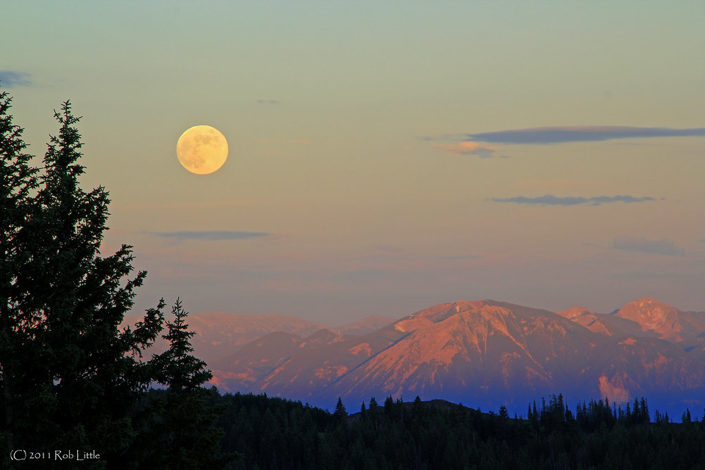
Mesa Moon

XC Ski 2

Wide Open Spaces

Grand Mesa Scenic Byway color - 06

Sun, Clouds, and Snow
Topographic Map of Molina, CO, USA
Find elevation by address:

Places near Molina, CO, USA:
9121 54 Rd
10690 54 7/10 Rd
Molina
53478 Co-330
51343 Ke Rd
J E 3/10 Road
55776 J E 3/10 Rd
50249 Ke Rd
Nick Mountain
9154 Co-65
Mesa
13737 57 Rd
9755 48 Rd
57840 P E Rd
Collbran
Powderhorn Mountain Resort
16563 58 6/10 Rd
46305 Co-65
Island Lake Campground
Camp 7 - Camp & Conference Center
Recent Searches:
- Elevation of Corso Fratelli Cairoli, 35, Macerata MC, Italy
- Elevation of Tallevast Rd, Sarasota, FL, USA
- Elevation of 4th St E, Sonoma, CA, USA
- Elevation of Black Hollow Rd, Pennsdale, PA, USA
- Elevation of Oakland Ave, Williamsport, PA, USA
- Elevation of Pedrógão Grande, Portugal
- Elevation of Klee Dr, Martinsburg, WV, USA
- Elevation of Via Roma, Pieranica CR, Italy
- Elevation of Tavkvetili Mountain, Georgia
- Elevation of Hartfords Bluff Cir, Mt Pleasant, SC, USA