Elevation of Moamba, Mozambique
Location: Mozambique > Maputo Province >
Longitude: 32.2370271
Latitude: -25.599420
Elevation: 111m / 364feet
Barometric Pressure: 100KPa
Elevation Map:
Satellite Map:
Related Photos:
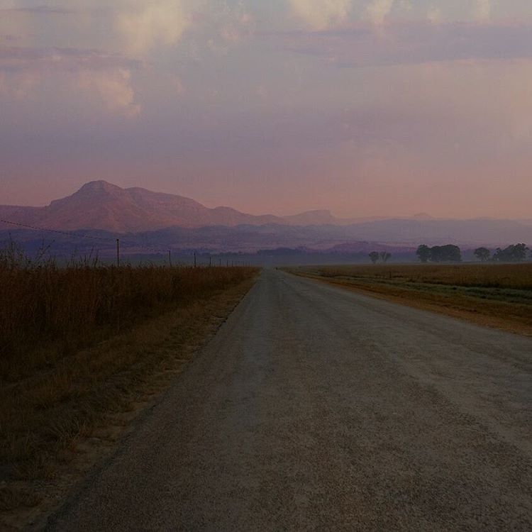
My #cyclinglife with #nofilter! #Wakeup early (<6:00), #cycle every day, #work hard, #play hard! #cyclingdutch
Topographic Map of Moamba, Mozambique
Find elevation by address:

Places near Moamba, Mozambique:
Munguene
Ressano Garcia Train Station / Estação De Trem
Komatipoort
Komati Sugar Mill
Namaacha
Tonga
Boane
2585 Pofadder St
Nkomazi Local Municipality
Mjejane Private Game Reserve
Goba
Mhlume
Royal Eswatini Sugar Corporation
Malelane
Leopard Creek Country Club
Berg En Dal Rest Camp Restaurant
Ehlanzeni
Hhohho Region
Piggs Peak
Eswatini
Recent Searches:
- Elevation of Corso Fratelli Cairoli, 35, Macerata MC, Italy
- Elevation of Tallevast Rd, Sarasota, FL, USA
- Elevation of 4th St E, Sonoma, CA, USA
- Elevation of Black Hollow Rd, Pennsdale, PA, USA
- Elevation of Oakland Ave, Williamsport, PA, USA
- Elevation of Pedrógão Grande, Portugal
- Elevation of Klee Dr, Martinsburg, WV, USA
- Elevation of Via Roma, Pieranica CR, Italy
- Elevation of Tavkvetili Mountain, Georgia
- Elevation of Hartfords Bluff Cir, Mt Pleasant, SC, USA