Elevation of Komati Sugar Mill Mananga Road, South Africa
Location: South Africa > Mpumalanga > Ehlanzeni > Nkomazi Local Municipality >
Longitude: 31.870326
Latitude: -25.611242
Elevation: 212m / 696feet
Barometric Pressure: 99KPa
Elevation Map:
Satellite Map:
Related Photos:
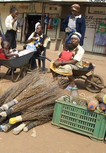
Women on market in Maputoland
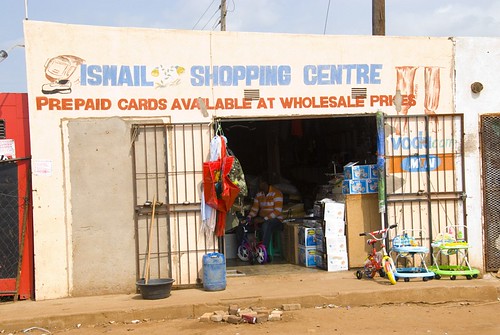
Ismail shopping centre in Maputoland
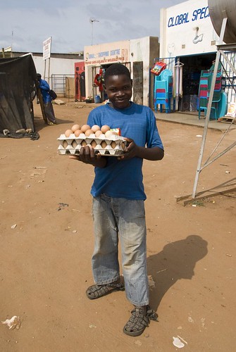
Selling eggs on market in Maputoland
Topographic Map of Komati Sugar Mill Mananga Road, South Africa
Find elevation by address:

Places near Komati Sugar Mill Mananga Road, South Africa:
Tonga
Nkomazi Local Municipality
Komatipoort
Ressano Garcia Train Station / Estação De Trem
Munguene
Mjejane Private Game Reserve
2585 Pofadder St
Malelane
Moamba
Leopard Creek Country Club
Mhlume
Royal Eswatini Sugar Corporation
Berg En Dal Rest Camp Restaurant
Namaacha
Boane
Ehlanzeni
Goba
Piggs Peak
Hhohho Region
Barberton Makhonjwa
Recent Searches:
- Elevation of Corso Fratelli Cairoli, 35, Macerata MC, Italy
- Elevation of Tallevast Rd, Sarasota, FL, USA
- Elevation of 4th St E, Sonoma, CA, USA
- Elevation of Black Hollow Rd, Pennsdale, PA, USA
- Elevation of Oakland Ave, Williamsport, PA, USA
- Elevation of Pedrógão Grande, Portugal
- Elevation of Klee Dr, Martinsburg, WV, USA
- Elevation of Via Roma, Pieranica CR, Italy
- Elevation of Tavkvetili Mountain, Georgia
- Elevation of Hartfords Bluff Cir, Mt Pleasant, SC, USA