Elevation of Mlimba, Tanzania
Location: Tanzania > Iringa Region > Mufindi >
Longitude: 35.8089055
Latitude: -8.7824511
Elevation: 332m / 1089feet
Barometric Pressure: 97KPa
Elevation Map:
Satellite Map:
Related Photos:
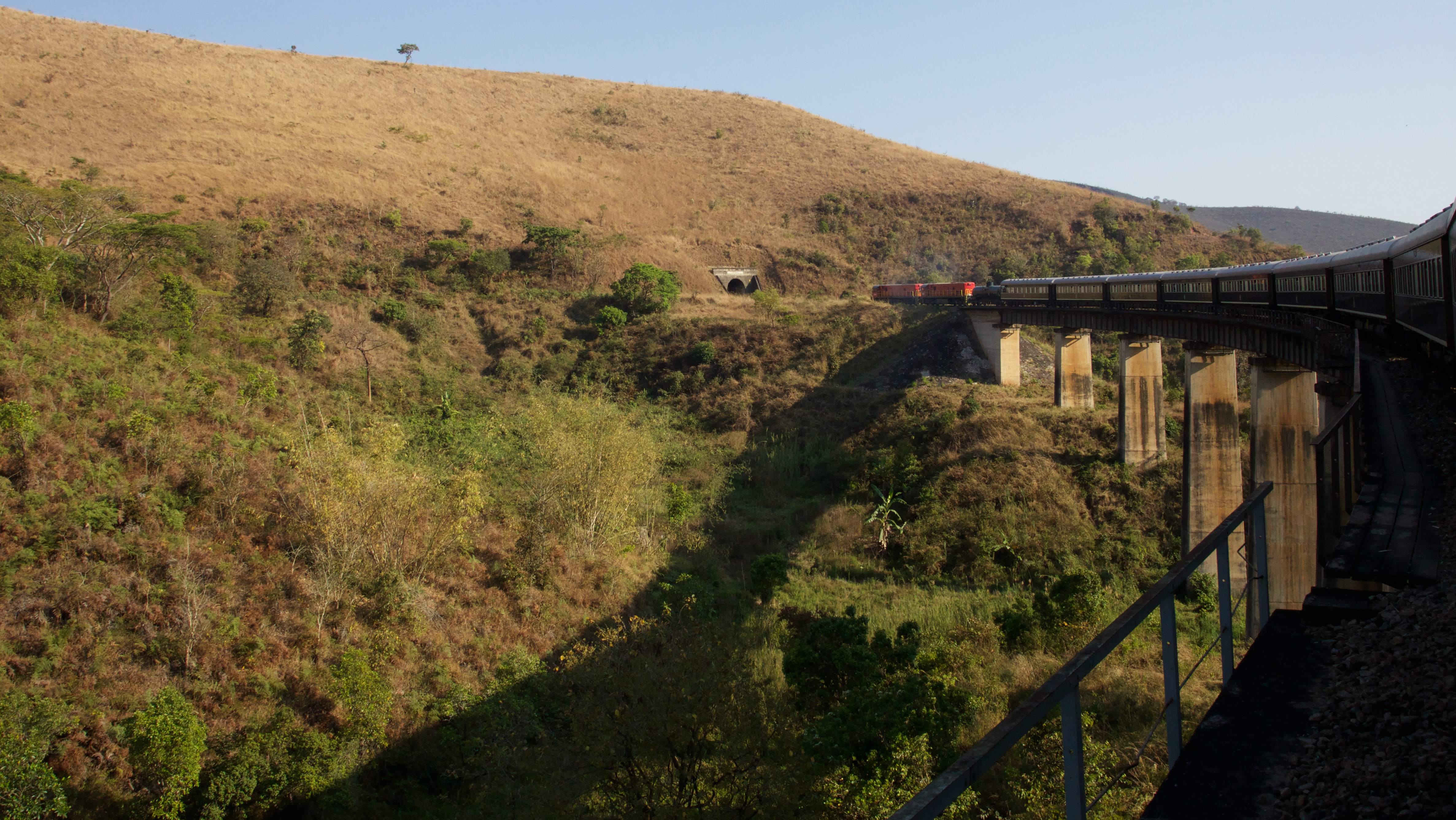
Over the river and into the tunnel

Ashes, ashes...
Topographic Map of Mlimba, Tanzania
Find elevation by address:

Places near Mlimba, Tanzania:
Tanganyika
Ruhudji River
Mufindi
Mufindi Club - Lugoda
Mufindi
Unnamed Road
Mninga
Ulanga
Mfriga
Itambo Dispensary
Recent Searches:
- Elevation of Corso Fratelli Cairoli, 35, Macerata MC, Italy
- Elevation of Tallevast Rd, Sarasota, FL, USA
- Elevation of 4th St E, Sonoma, CA, USA
- Elevation of Black Hollow Rd, Pennsdale, PA, USA
- Elevation of Oakland Ave, Williamsport, PA, USA
- Elevation of Pedrógão Grande, Portugal
- Elevation of Klee Dr, Martinsburg, WV, USA
- Elevation of Via Roma, Pieranica CR, Italy
- Elevation of Tavkvetili Mountain, Georgia
- Elevation of Hartfords Bluff Cir, Mt Pleasant, SC, USA