Elevation of Misty Ln, Westville, FL, USA
Location: United States > Florida > Holmes County > Westville >
Longitude: -85.873898
Latitude: 30.818155
Elevation: 22m / 72feet
Barometric Pressure: 101KPa
Elevation Map:
Satellite Map:
Related Photos:

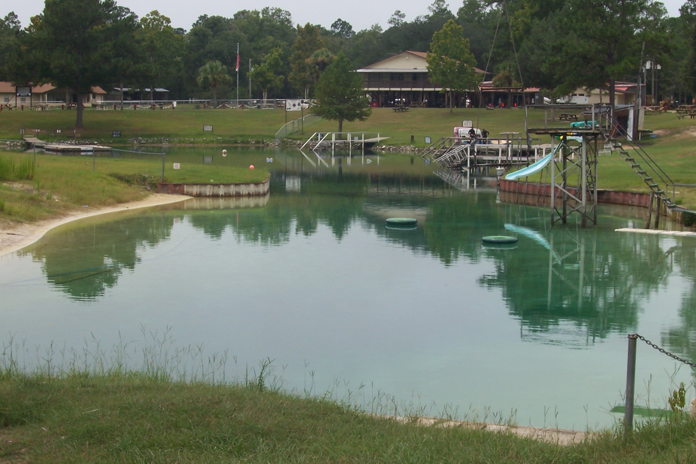
Google Earth Map view of Ponce de Leon Springs State Park

Choctawhatchee Crossing

Vortex Spring (Holmes County, FL)
Vortex Spring (Holmes County, FL)

Near Ponce de Leon, FL

Ponce de Leon Spring

Up the Spring Run

Clear to the Sand

Accessible Spring Run

Looking Back

Near Ponce de Leon, FL

Spring Run

Near Ponce de Leon, FL

Stinking camphorweed
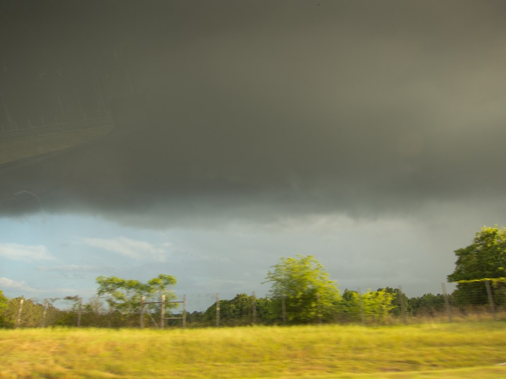
Getting a little darker...

Interstate 10 rest area 30050 picnic shelter tables

20081129-122212
Topographic Map of Misty Ln, Westville, FL, USA
Find elevation by address:

Places near Misty Ln, Westville, FL, USA:
1948 Misty Ln
1948 Misty Ln
1948 Misty Ln
1948 Misty Ln
1948 Misty Ln
1948 Misty Ln
1948 Misty Ln
1948 Misty Ln
1948 Misty Ln
1948 Misty Ln
1948 Misty Ln
Co Rd, Westville, FL, USA
White Rd, Westville, FL, USA
Sellers Rd, Caryville, FL, USA
Westville
Hathaway Mill Rd, Caryville, FL, USA
Caryville
Holmes County
2465 John Marsh Rd
4218 New Effort Rd
Recent Searches:
- Elevation of Corso Fratelli Cairoli, 35, Macerata MC, Italy
- Elevation of Tallevast Rd, Sarasota, FL, USA
- Elevation of 4th St E, Sonoma, CA, USA
- Elevation of Black Hollow Rd, Pennsdale, PA, USA
- Elevation of Oakland Ave, Williamsport, PA, USA
- Elevation of Pedrógão Grande, Portugal
- Elevation of Klee Dr, Martinsburg, WV, USA
- Elevation of Via Roma, Pieranica CR, Italy
- Elevation of Tavkvetili Mountain, Georgia
- Elevation of Hartfords Bluff Cir, Mt Pleasant, SC, USA