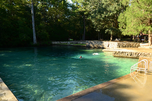
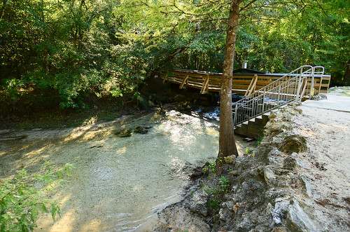
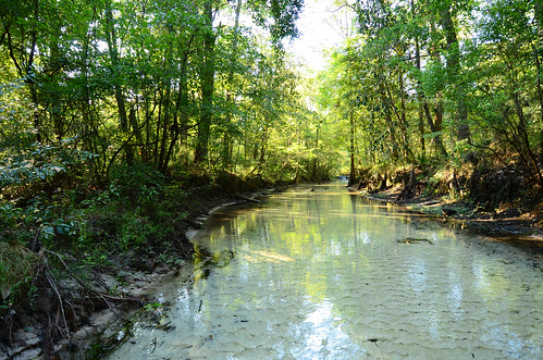
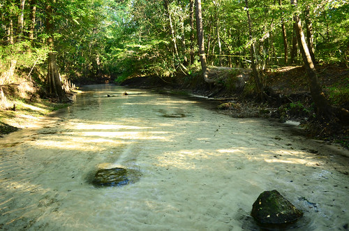
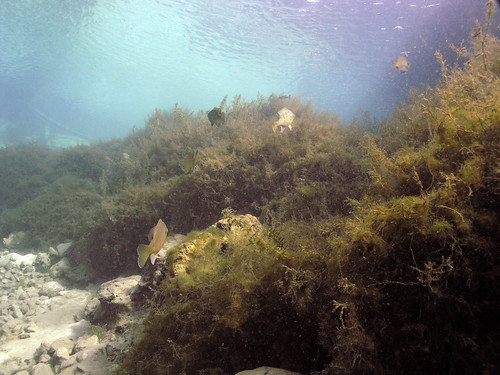
Elevation of Hathaway Mill Rd, Caryville, FL, USA
Location: United States > Florida > Washington County > Caryville >
Longitude: -85.801946
Latitude: 30.814631
Elevation: 34m / 112feet
Barometric Pressure: 101KPa
Related Photos:
Topographic Map of Hathaway Mill Rd, Caryville, FL, USA
Find elevation by address:

Places near Hathaway Mill Rd, Caryville, FL, USA:
Sellers Rd, Caryville, FL, USA
Caryville
4218 New Effort Rd
2465 John Marsh Rd
Holmes County
Westville
1950 Misty Ln
1948 Misty Ln
1948 Misty Ln
1948 Misty Ln
1948 Misty Ln
1948 Misty Ln
1948 Misty Ln
1948 Misty Ln
1948 Misty Ln
1948 Misty Ln
1948 Misty Ln
1948 Misty Ln
Co Rd, Westville, FL, USA
Curry Ferry Rd, Bonifay, FL, USA
Recent Searches:
- Elevation of Corso Fratelli Cairoli, 35, Macerata MC, Italy
- Elevation of Tallevast Rd, Sarasota, FL, USA
- Elevation of 4th St E, Sonoma, CA, USA
- Elevation of Black Hollow Rd, Pennsdale, PA, USA
- Elevation of Oakland Ave, Williamsport, PA, USA
- Elevation of Pedrógão Grande, Portugal
- Elevation of Klee Dr, Martinsburg, WV, USA
- Elevation of Via Roma, Pieranica CR, Italy
- Elevation of Tavkvetili Mountain, Georgia
- Elevation of Hartfords Bluff Cir, Mt Pleasant, SC, USA
