Elevation of Mission Blvd, Fremont, CA, USA
Location: United States > California > Alameda County > Fremont > Niles >
Longitude: -121.97668
Latitude: 37.5790702
Elevation: 32m / 105feet
Barometric Pressure: 101KPa
Elevation Map:
Satellite Map:
Related Photos:
Is this the world we created...?

mY first HDR

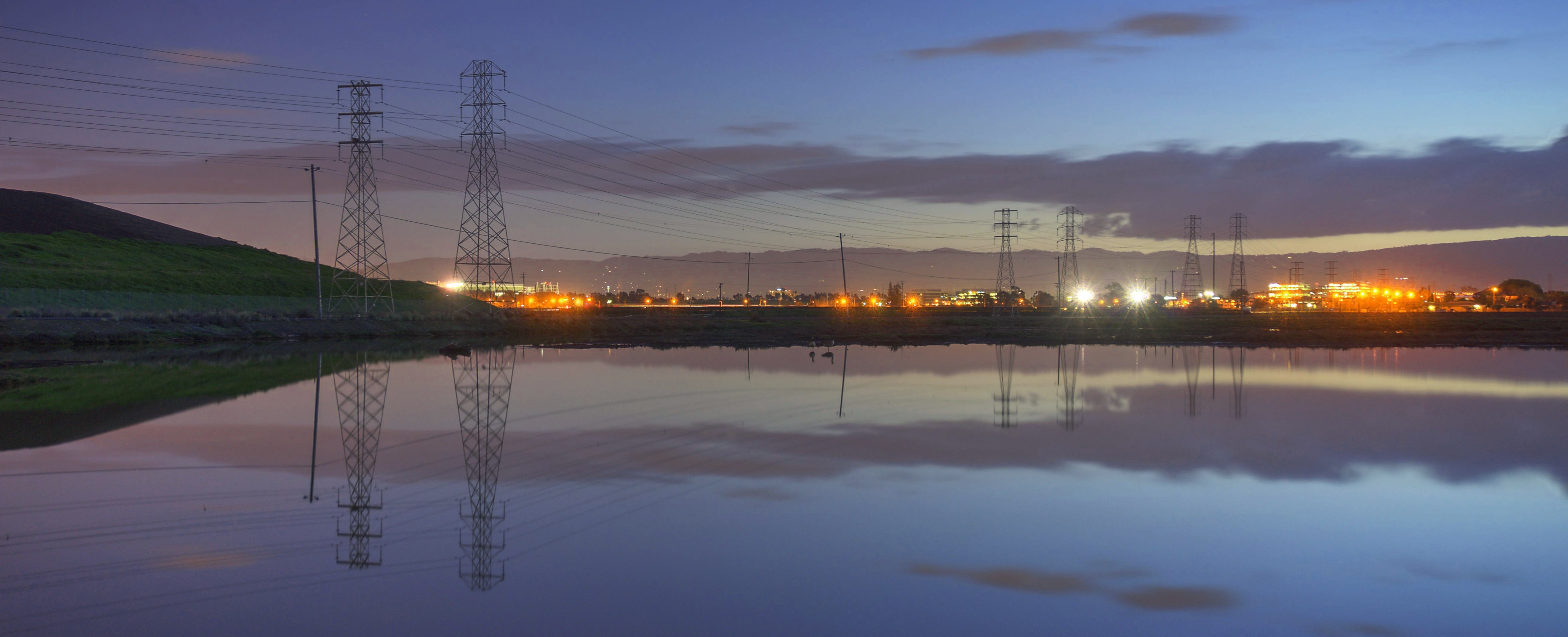
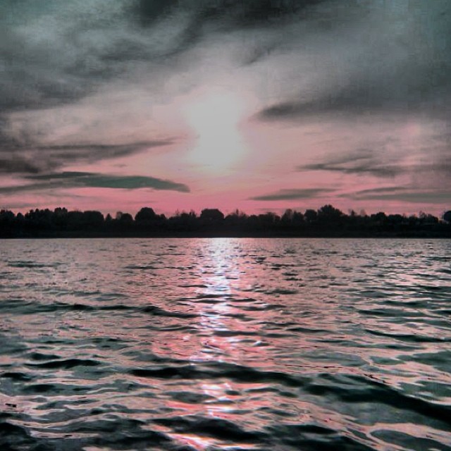
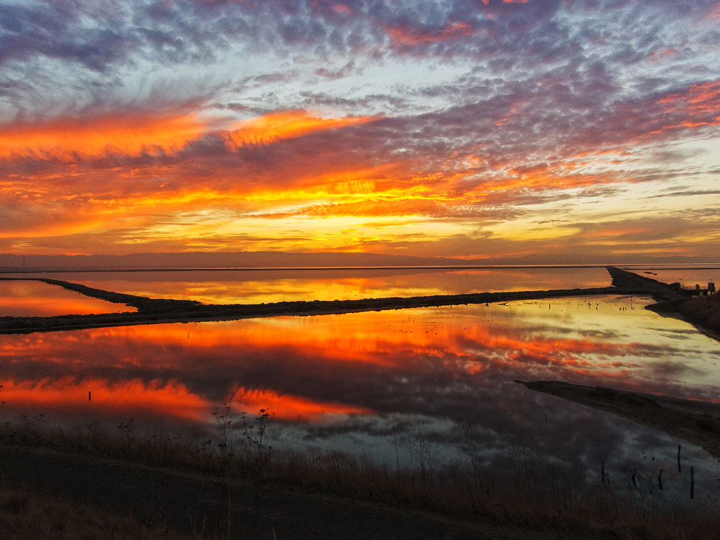
Alviso Blue Hour

Night View of Tri-Valley
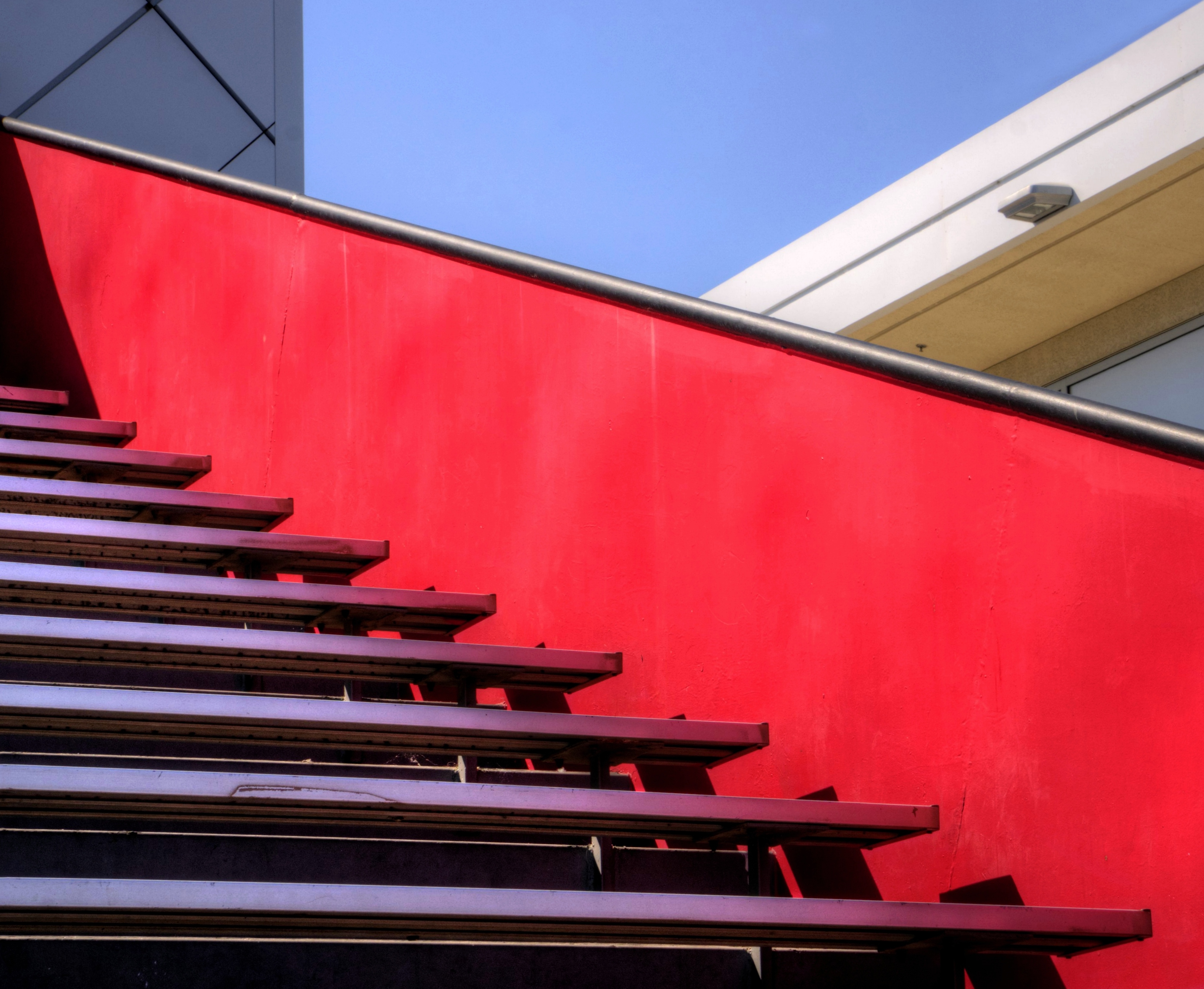
Empty seats at the stadium
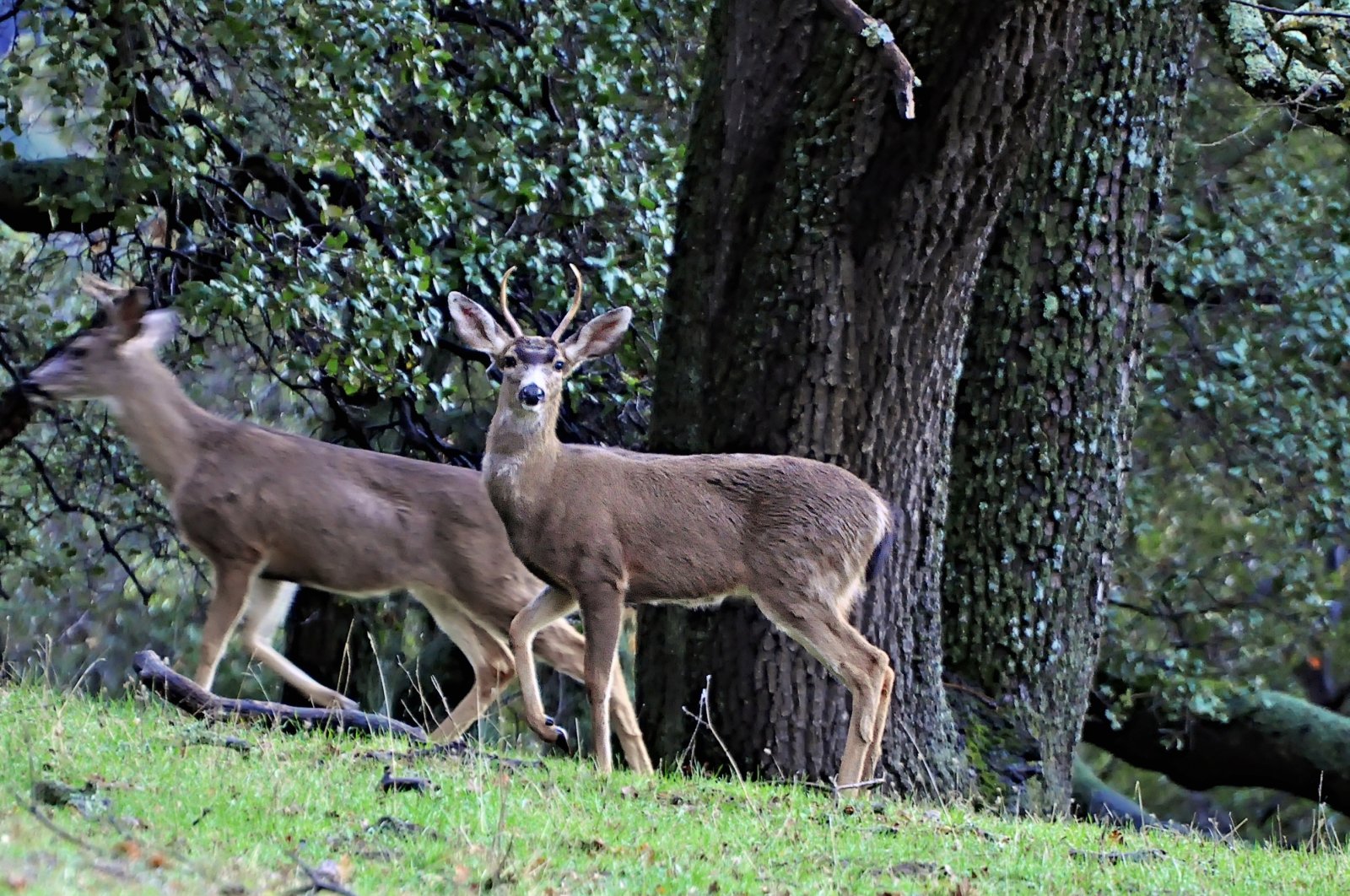
Watching the watcher
picture perfect
do you dare venture beyond?

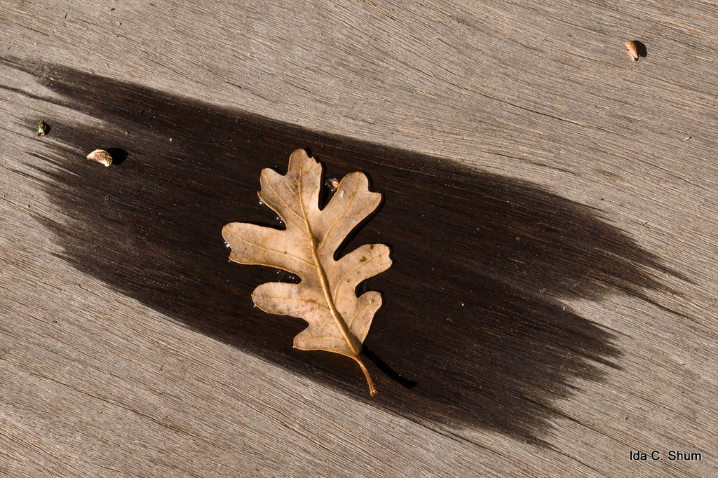
'out of nowhere'
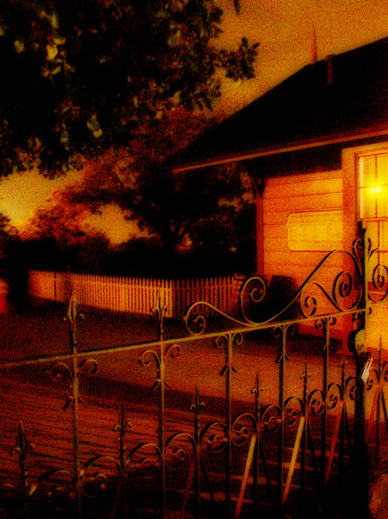
Stroke of Fall
Steep targets
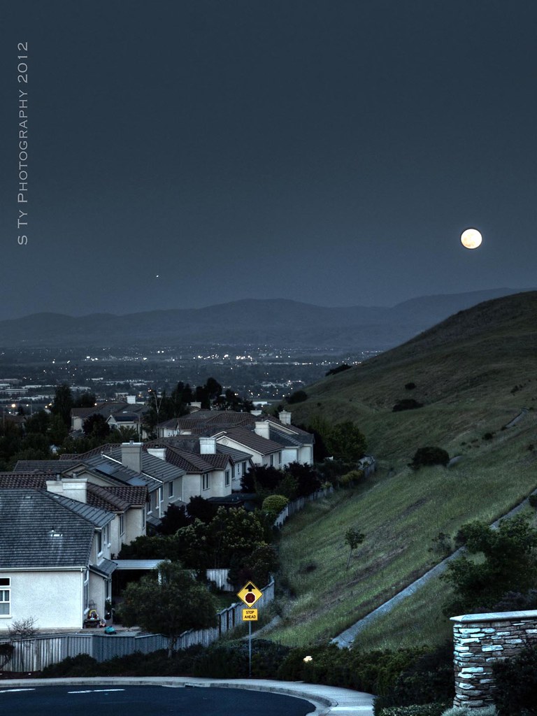
Serenity - Super Moon over Dublin 05-05-2012

Yellow-rumped Warbler - Frontal View

Dumpster's Point of View
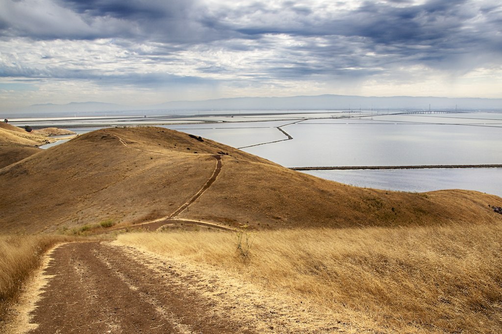
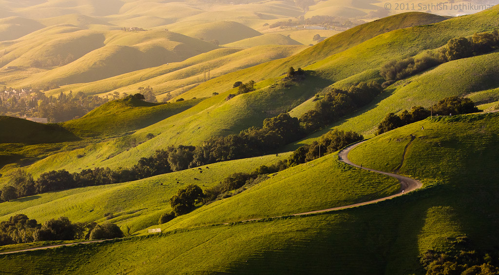
Golden Hills

Little House
My view of the #sunset. Scenes while riding.

Swings Galore
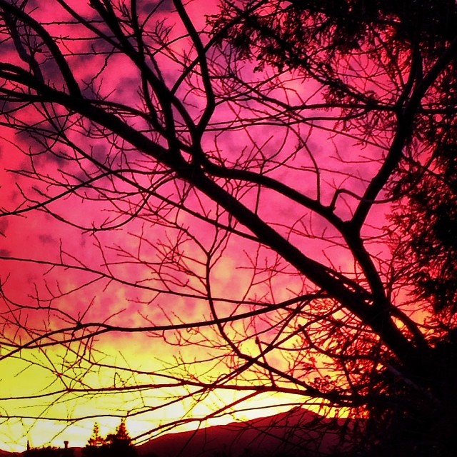
Vivid Whispers
A filterized view from my backyard looking toward Mission Peak in Fremont.
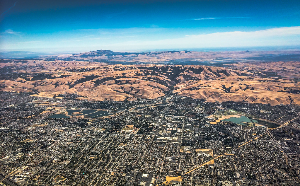
Aerial view of Haywood and East Bay suburbs over California

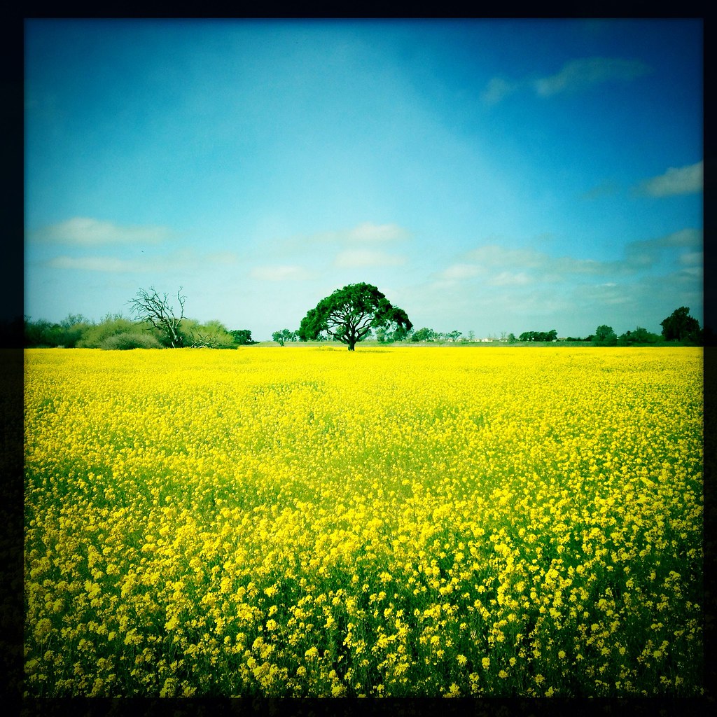
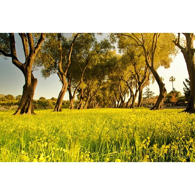
Mustard field
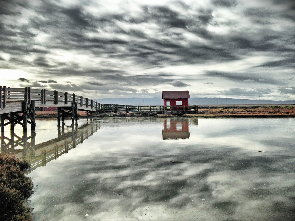
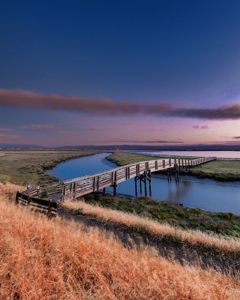
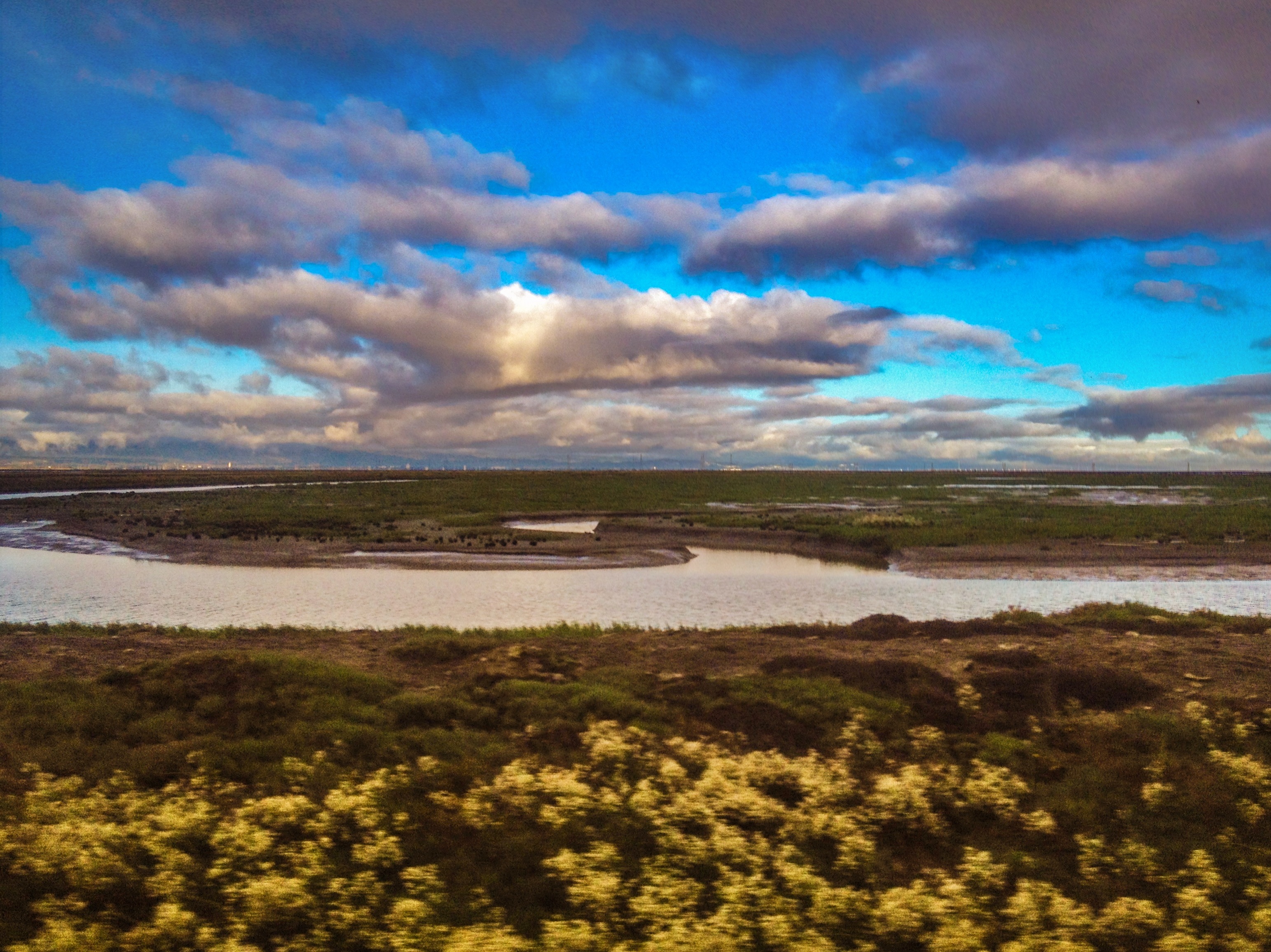
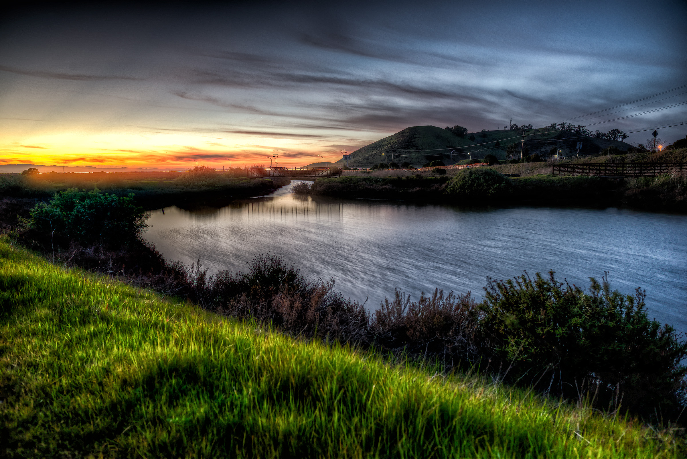
Don Edwards Preserve, Newark California
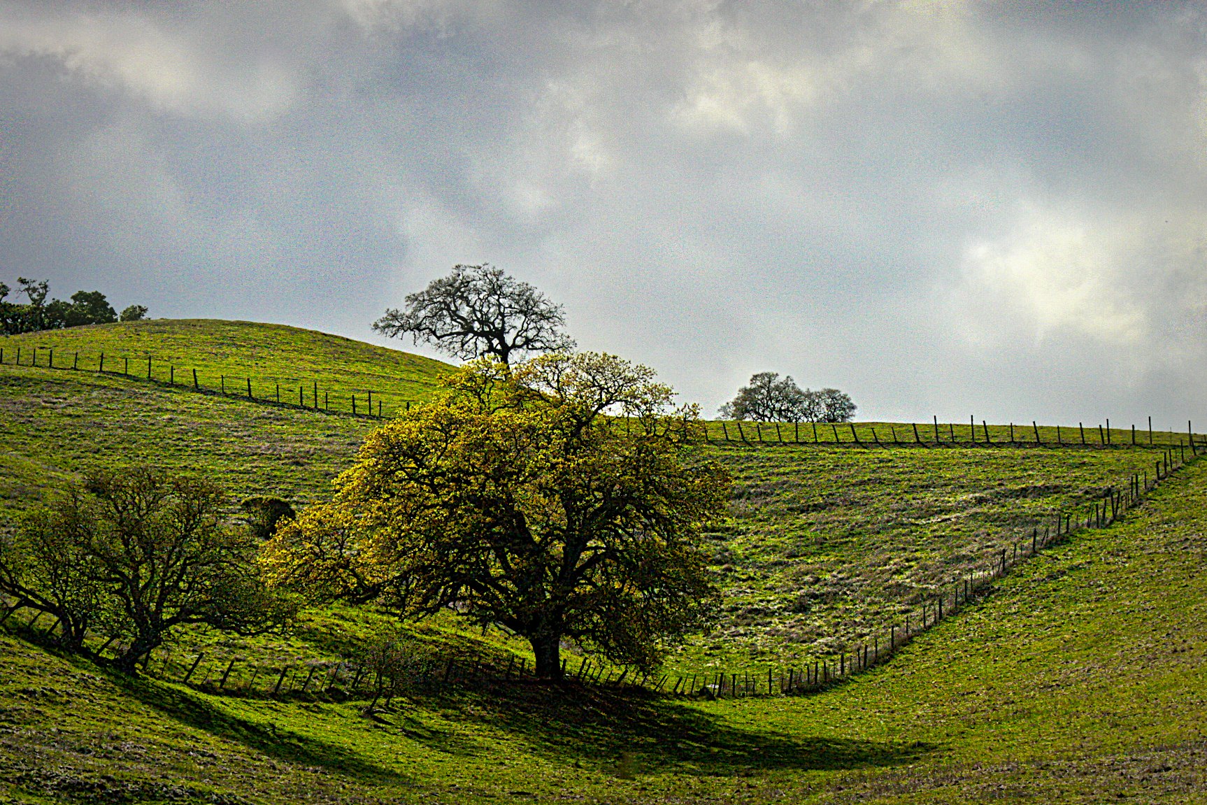
Sunol Spring Hillside No.01
I'm beginning to wonder why I kept passing up this EB park. What a gem! #EBRPD #SunolRegionalWilderness #Sunol

Easy way down
SF Bay
No Name Trail
Spring. #california #eastbay #instanature #grass #weed #donedwards #rei1440project #neverstopexploring #hike #nofilter #goldenhour #sunset #skysnappers

Hello! I'm Western Meadowlark
Tree in Yellow Field
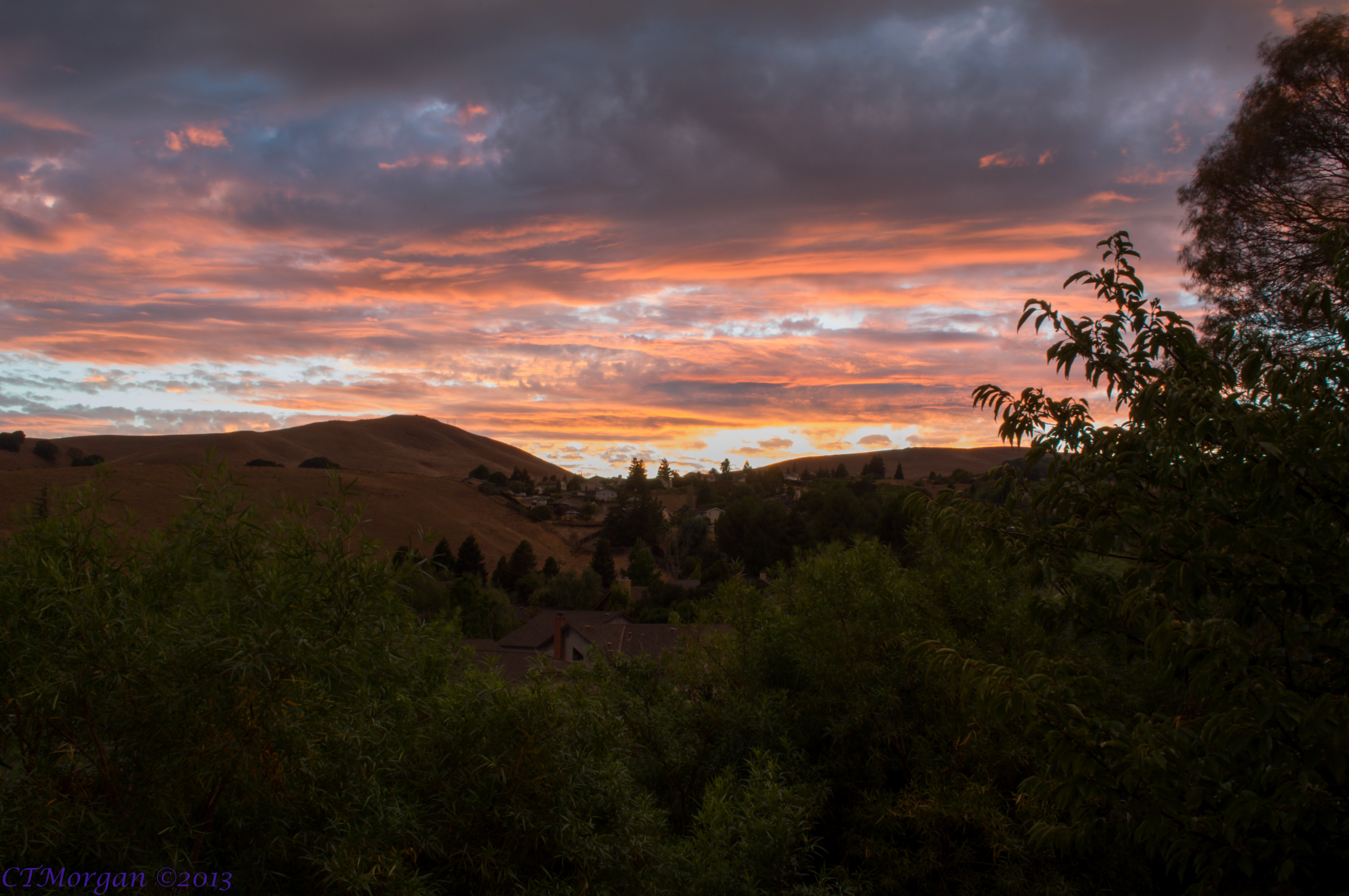
20130902 008.jpg
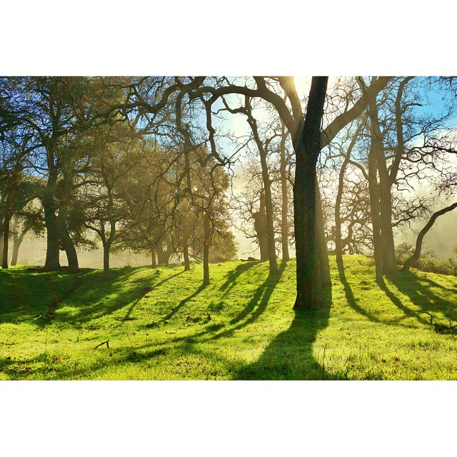
A Candle Burns Brightest
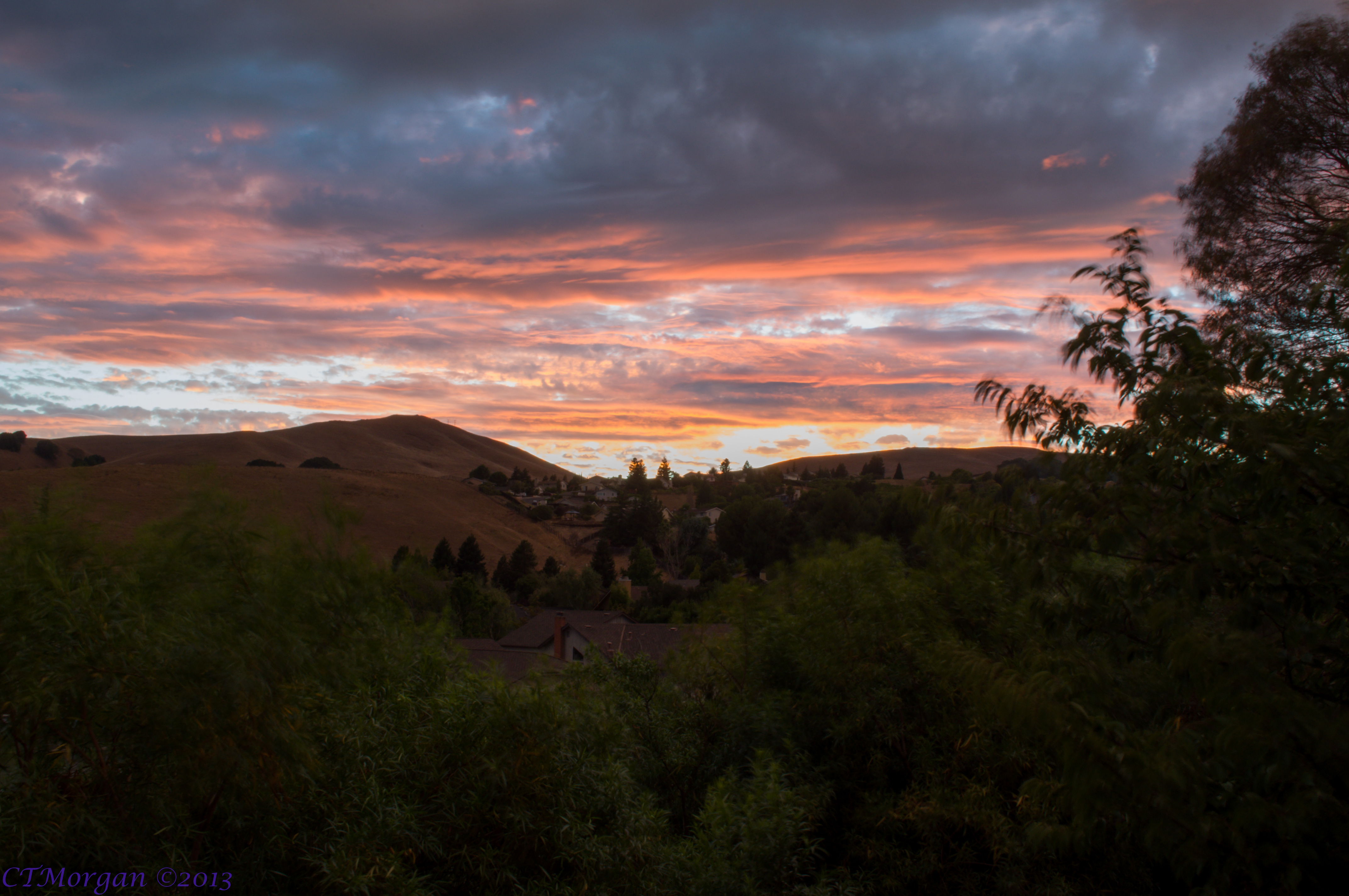
20130902 010.jpg

#Cloud #Volcano #Sky #Sun #Sunset

#Barracks and #Hills. @#Batanes, #Philippines. #Landscape #Mountain #Sea.
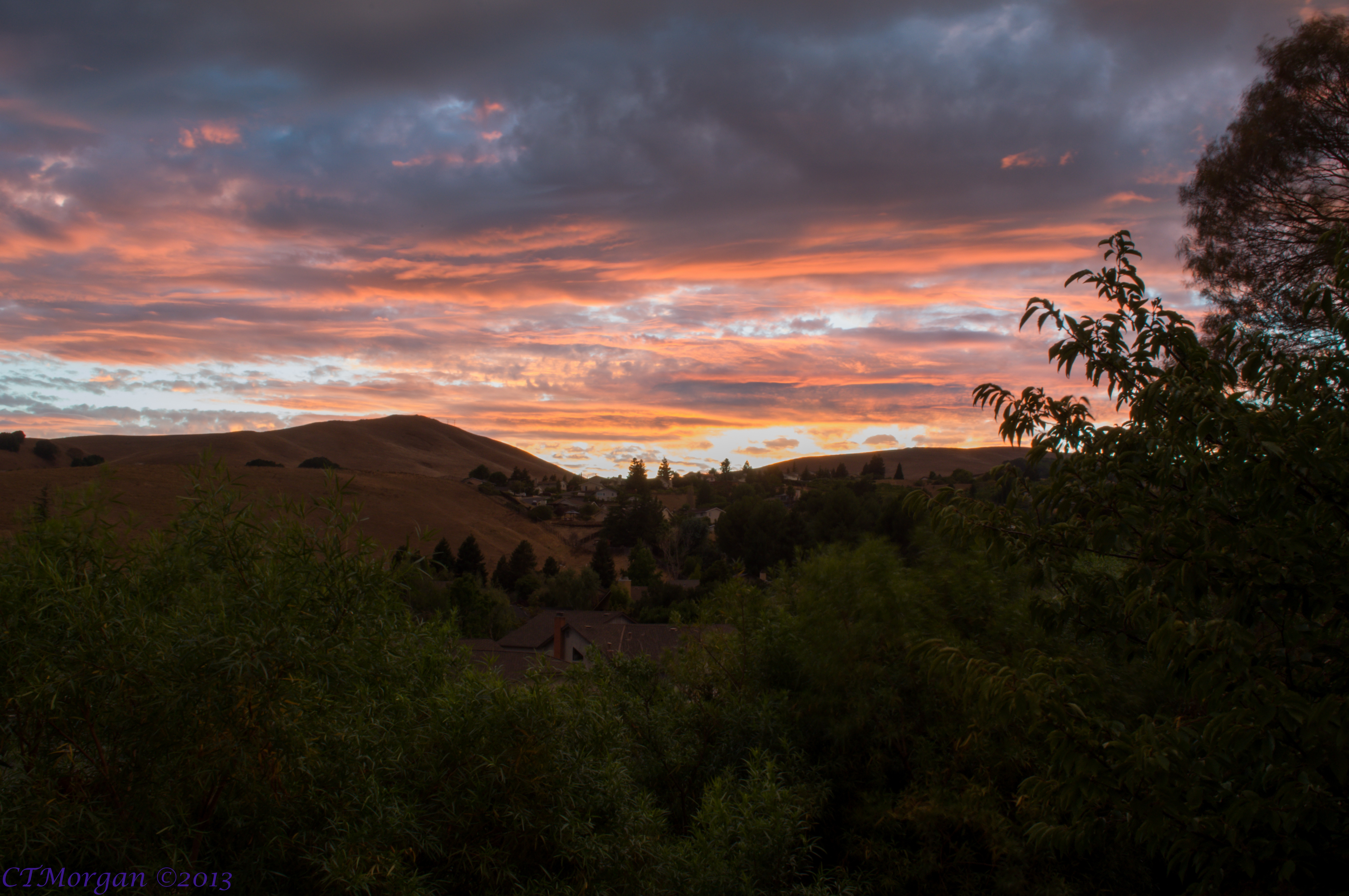
20130902 009.jpg

1869 Line Poll in Niles Canyon
It's getting hotter each day!
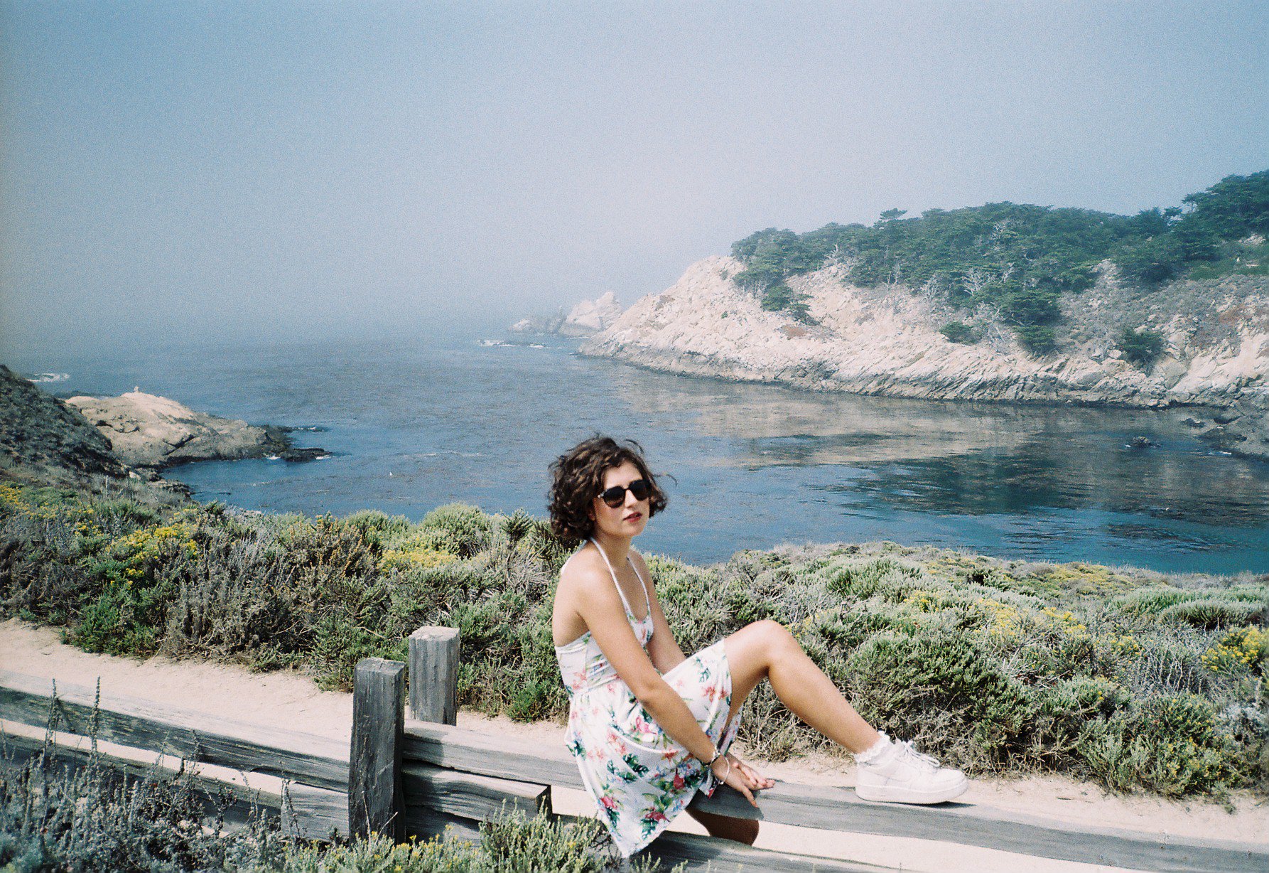
Point Lobos State Reserve, CA
Topographic Map of Mission Blvd, Fremont, CA, USA
Find elevation by address:

Places near Mission Blvd, Fremont, CA, USA:
332 Riverside Ave
318 I St
711 Old Canyon Rd
Niles
Niles Canyon
793 Old Canyon Rd
492 Washburn Dr
734 Mowry Ave
Gilbert Ave, Fremont, CA, USA
1272 Kruger Ave
38619 Pickering Ct
38058 Stenhammer Dr
38700 Tyson Ln
37797 Rosetree Ct
Parkmont
Cherry - Guardino
38435 Acacia St
2000 Mowry Ave
175 Espada Pl
38052 Miller Pl
Recent Searches:
- Elevation of Corso Fratelli Cairoli, 35, Macerata MC, Italy
- Elevation of Tallevast Rd, Sarasota, FL, USA
- Elevation of 4th St E, Sonoma, CA, USA
- Elevation of Black Hollow Rd, Pennsdale, PA, USA
- Elevation of Oakland Ave, Williamsport, PA, USA
- Elevation of Pedrógão Grande, Portugal
- Elevation of Klee Dr, Martinsburg, WV, USA
- Elevation of Via Roma, Pieranica CR, Italy
- Elevation of Tavkvetili Mountain, Georgia
- Elevation of Hartfords Bluff Cir, Mt Pleasant, SC, USA