Elevation of Mineral Spring Rd, Suffolk, VA, USA
Location: United States > Virginia > Suffolk >
Longitude: -76.714373
Latitude: 36.607057
Elevation: 12m / 39feet
Barometric Pressure: 101KPa
Elevation Map:
Satellite Map:
Related Photos:

Aerial view
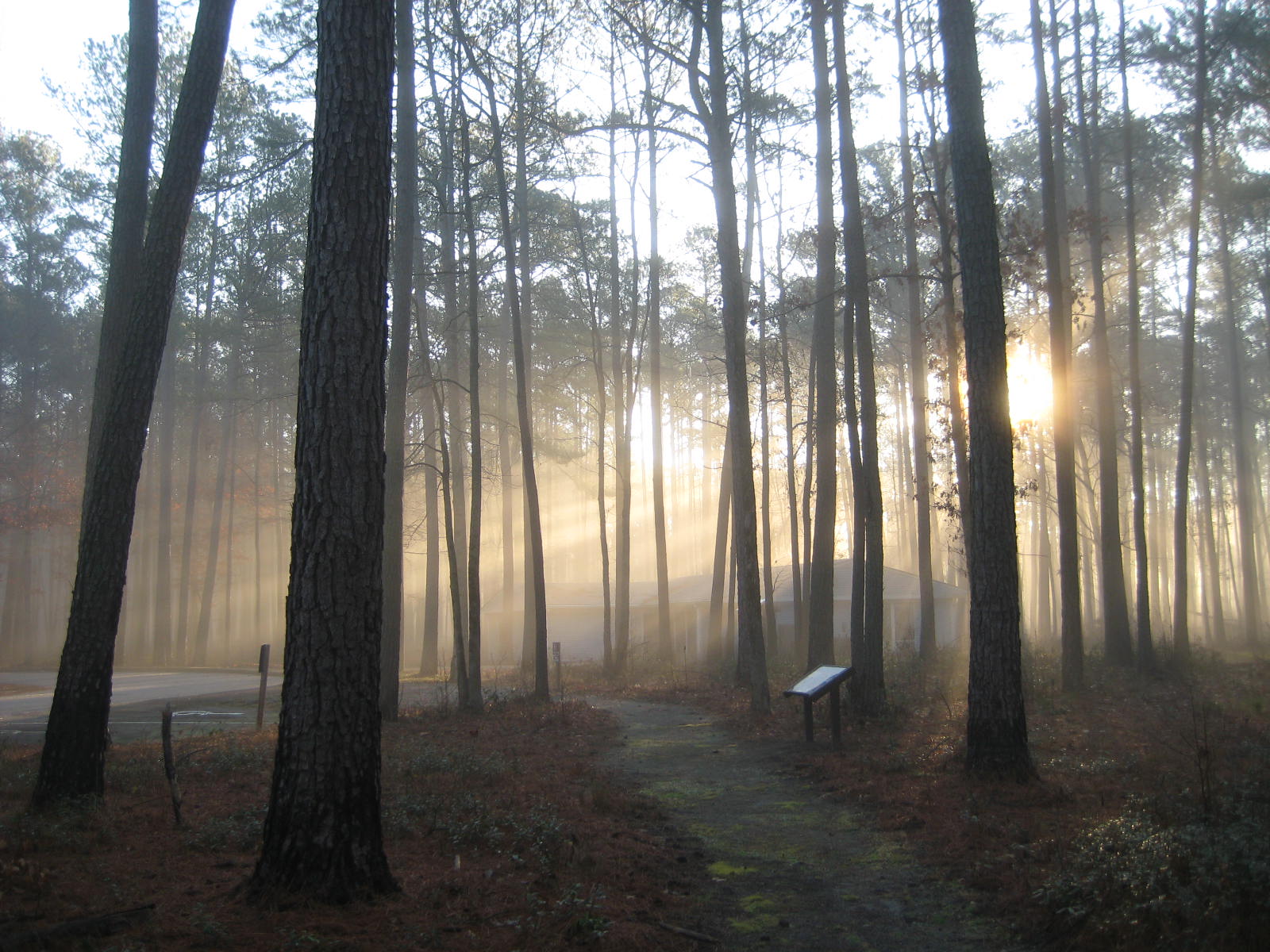
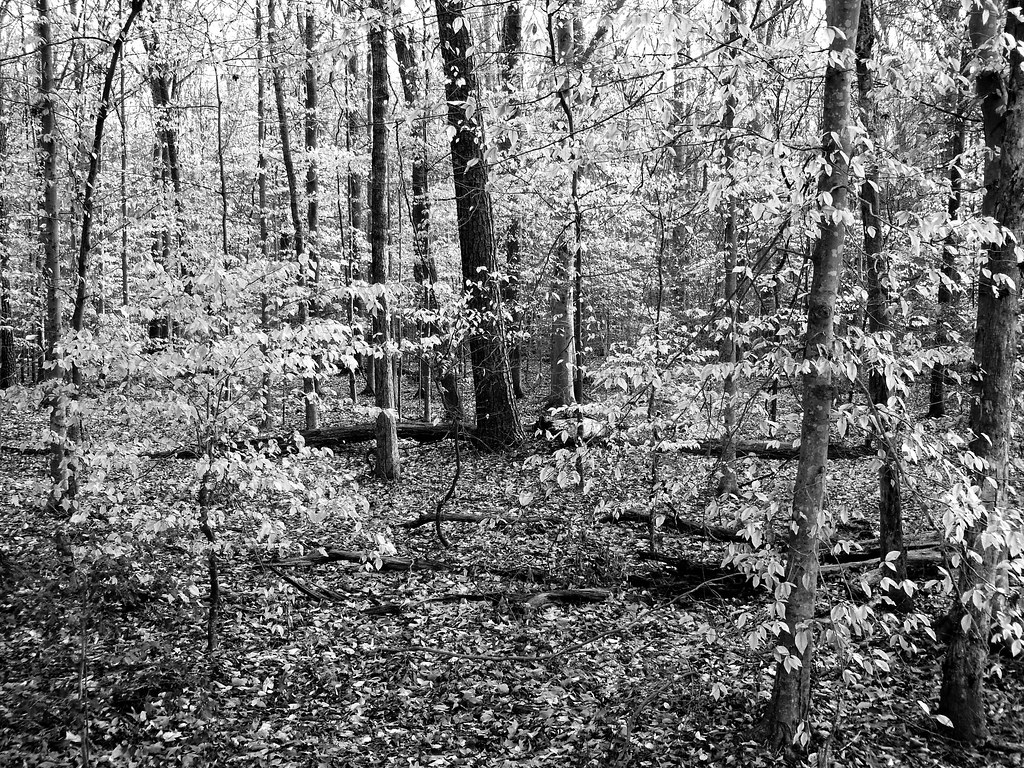
Sun through the trees
dismal_swamp-57.jpg
dismal_swamp-59.jpg

dismal_swamp-58.jpg
03-11-13 142
03-11-13 138

Farm Land

Washington Ditch Trail

dismal_swamp-60.jpg

Dismal Swamp Dawn

Dismal Swamp Dawn
dismal_swamp-58.jpg
03-11-13 140
Topographic Map of Mineral Spring Rd, Suffolk, VA, USA
Find elevation by address:

Places near Mineral Spring Rd, Suffolk, VA, USA:
5062 Mineral Spring Rd
133 Spivey Farm Ln
5000 Mineral Spring Rd
228 Great Fork Rd
Quaker Drive
7795 Quaker Dr
850 Dutch Rd
3889 Whaleyville Blvd
7626 S Quay Rd
4937 Deer Path Rd
756 Manning Rd
140 Raleigh Dr
Elwood Rd, Suffolk, VA, USA
206 Sumner Ave
Old Carrsville Rd, Carrsville, VA, USA
Carrsville
Jenkins Mill Road
Carver Rd, Franklin, VA, USA
578 Ashton Ave
503 South St
Recent Searches:
- Elevation of Corso Fratelli Cairoli, 35, Macerata MC, Italy
- Elevation of Tallevast Rd, Sarasota, FL, USA
- Elevation of 4th St E, Sonoma, CA, USA
- Elevation of Black Hollow Rd, Pennsdale, PA, USA
- Elevation of Oakland Ave, Williamsport, PA, USA
- Elevation of Pedrógão Grande, Portugal
- Elevation of Klee Dr, Martinsburg, WV, USA
- Elevation of Via Roma, Pieranica CR, Italy
- Elevation of Tavkvetili Mountain, Georgia
- Elevation of Hartfords Bluff Cir, Mt Pleasant, SC, USA